Downies
Settlement in Kincardineshire
Scotland
Downies
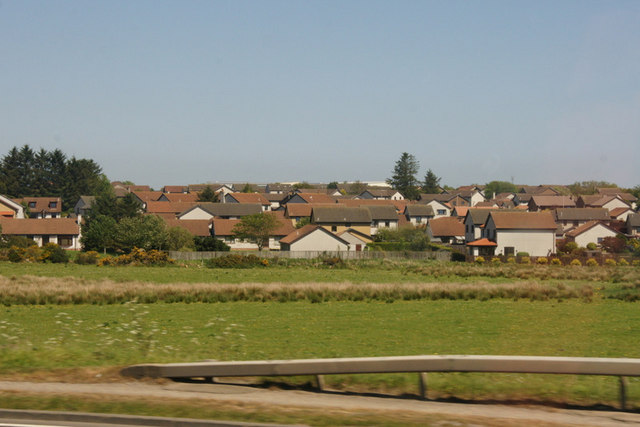
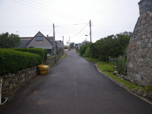
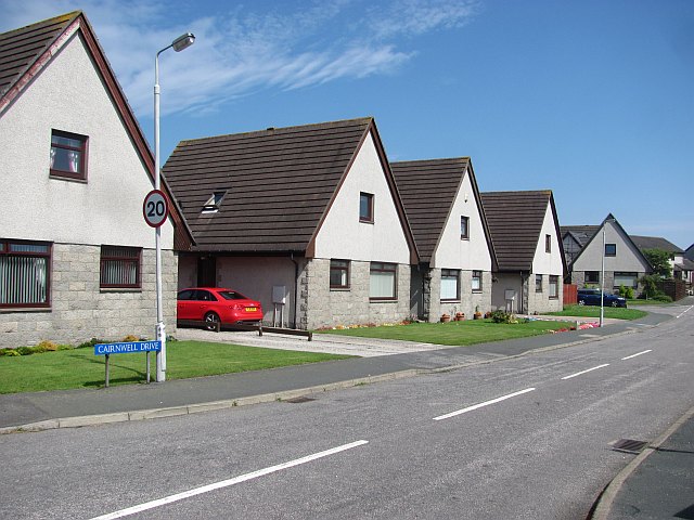
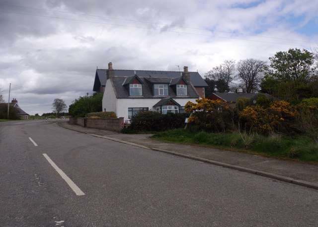
Downies is a small village located in Kincardineshire, Scotland. Situated on the northeast coast of the country, it lies approximately 10 miles south of the town of Stonehaven. With a population of around 200 residents, Downies is a close-knit community characterized by its picturesque setting and tranquil atmosphere.
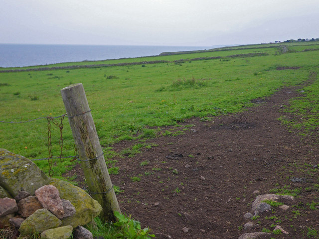
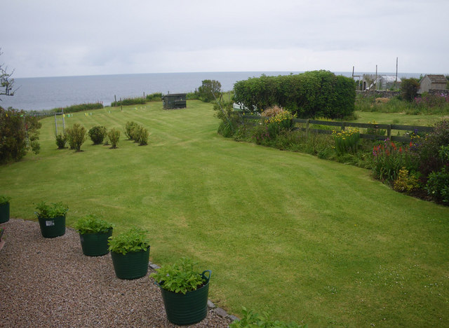
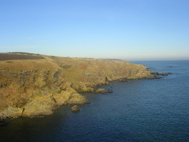
The village is surrounded by stunning natural scenery, including rolling hills and beautiful coastal views. Its proximity to the North Sea offers residents and visitors alike the opportunity to enjoy a variety of outdoor activities such as fishing, hiking, and birdwatching. Downies is also known for its rugged cliffs, which provide a dramatic backdrop to the village.
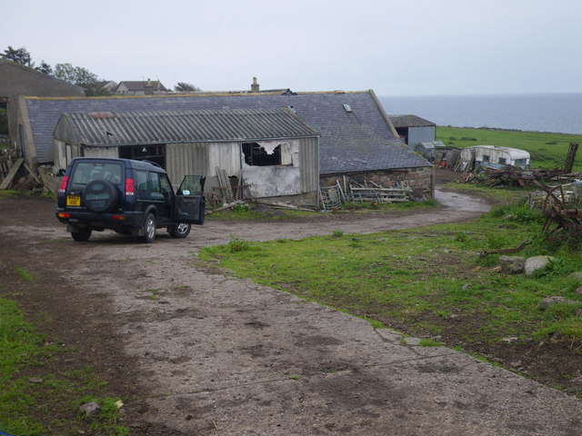
Despite its small size, Downies has a rich history. The village was originally established as a fishing community, and remnants of its maritime past can still be seen today. The quaint harbor, with its colorful fishing boats, serves as a reminder of the village's connection to the sea.
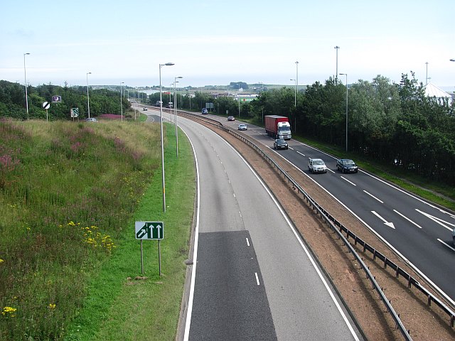
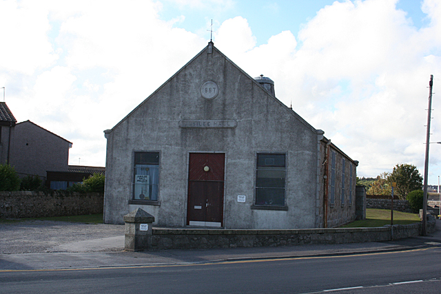
In terms of amenities, Downies has a local pub and a small convenience store that caters to the needs of its residents. For more extensive shopping and services, the nearby town of Stonehaven offers a wider range of options.
Overall, Downies is a charming coastal village that appeals to those seeking a peaceful and idyllic lifestyle. Its natural beauty, combined with its sense of community, makes it an attractive place to live or visit for those looking to escape the hustle and bustle of city life.
If you have any feedback on the listing, please let us know in the comments section below.
Downies Images
Images are sourced within 2km of 57.048795/-2.132668 or Grid Reference NO9295. Thanks to Geograph Open Source API. All images are credited.


Downies is located at Grid Ref: NO9295 (Lat: 57.048795, Lng: -2.132668)
Unitary Authority: Aberdeenshire
Police Authority: North East
What 3 Words
///speaking.sparrows.inflame. Near Newtonhill, Aberdeenshire
Nearby Locations
Related Wikis
Cammachmore Bay
Cammachmore Bay is an embayment of the North Sea between Stonehaven and Aberdeen in Aberdeenshire, Scotland. The fishing village of Downies is situated...

Portlethen Academy
Portlethen Academy is a six-year comprehensive secondary school in Portlethen, Aberdeenshire, Scotland. == History == With the expansion of the communities...
Portlethen Moss
The Portlethen Moss is an acidic bog nature reserve located to the west of the town of Portlethen, Aberdeenshire in Scotland. Like other mosses, this...
Portlethen
Portlethen (; Scottish Gaelic: Port Leathain) is a town located approximately 7 miles south of Aberdeen, Scotland along the A92. The population according...

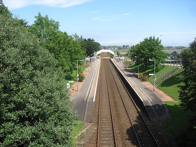
Portlethen railway station
Portlethen railway station serves the town of Portlethen in Aberdeenshire, Scotland. It is sited 232 miles 59 chains (374.6 km) from Carlisle via Perth...

Portlethen Village
Portlethen Village is a settlement located to the east of Portlethen along the North Sea coast in Aberdeenshire, Scotland. The village is also known as...

Craigmaroinn
Craigmaroinn is a skerry in the North Sea near the Aberdeenshire coastline in Scotland. Craigmaroinn is situated midway between the coastal villages of...

Cammachmore
Cammachmore (Gaelic An Camach Mòr) is a hamlet in the coastal region near the North Sea in Aberdeenshire. It lies slightly west of the A92 road and the...
Nearby Amenities
Located within 500m of 57.048795,-2.132668Have you been to Downies?
Leave your review of Downies below (or comments, questions and feedback).