Craiglonny

Island in Kincardineshire

Scotland

Craiglonny

Portlethen from the A90
Portlethen from the A90 Credit: Mike Pennington

Craiglonny is a small island located off the northeast coast of Scotland in Kincardineshire. The island is situated in the North Sea, approximately 3 miles from the mainland. With an area of just over 1 square mile, it is relatively small in size.

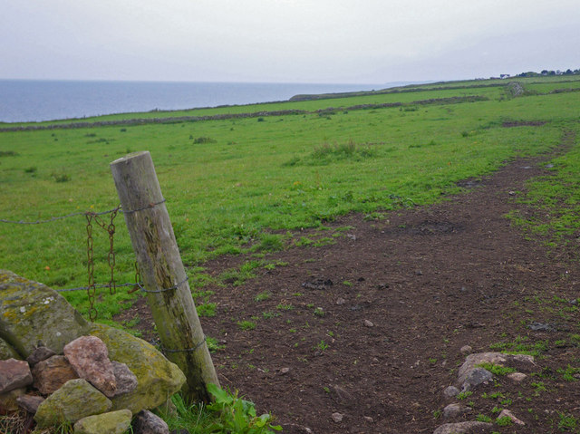
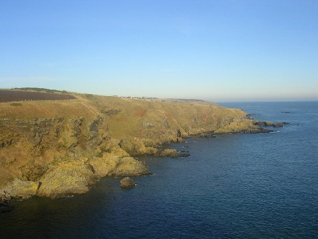
Despite its small size, Craiglonny boasts scenic landscapes and natural beauty. The island is characterized by rugged cliffs and rocky shores, offering breathtaking views of the surrounding sea. The coastline is dotted with small coves and beaches, providing opportunities for leisurely walks and beachcombing.

The island is primarily covered in grassy meadows and heather moorland, with scattered patches of woodland. It is home to a variety of wildlife, including seabirds, seals, and occasionally dolphins and whales can be spotted in the surrounding waters.

Craiglonny has a rich history, with evidence of human occupation dating back thousands of years. There are several ancient ruins on the island, including the remains of a chapel and a castle, which serve as reminders of its past. The island was once inhabited by a small fishing community, but now it is mainly used for agriculture and tourism.

Access to Craiglonny is primarily by boat, with occasional ferry services operating from the mainland. The island offers a peaceful and remote getaway for visitors, with opportunities for camping, hiking, bird-watching, and enjoying the natural surroundings. It is a place where visitors can immerse themselves in the tranquility of nature and experience the unique charm of this picturesque island.

If you have any feedback on the listing, please let us know in the comments section below.

Craiglonny Images

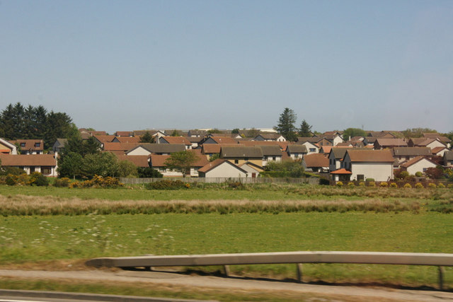
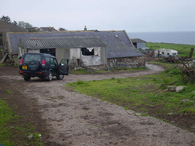
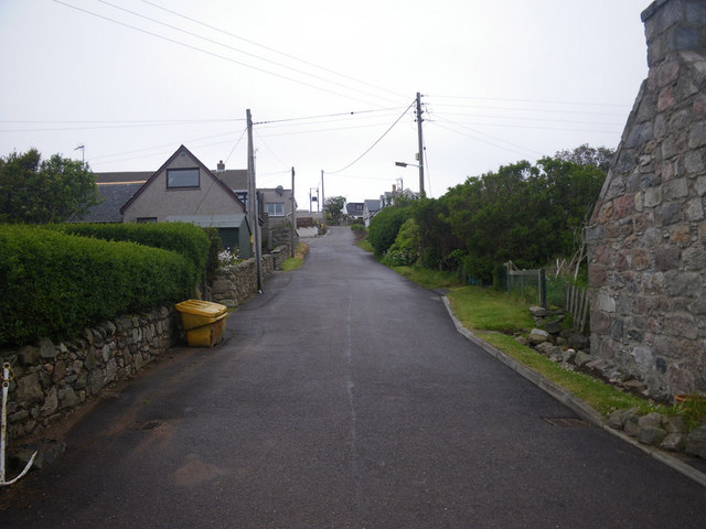
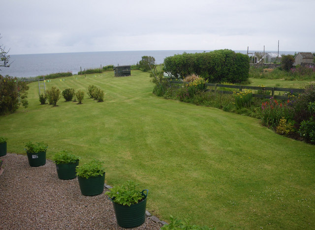
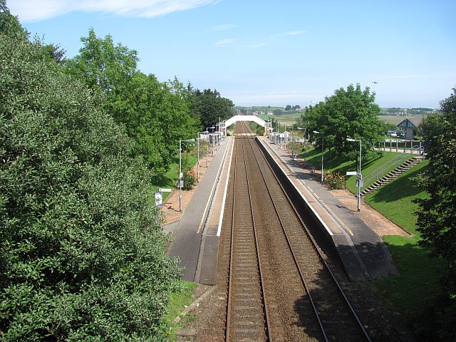
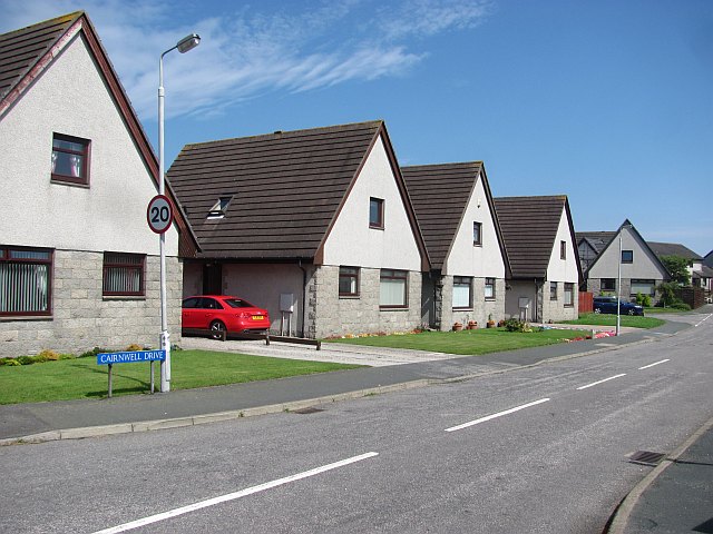
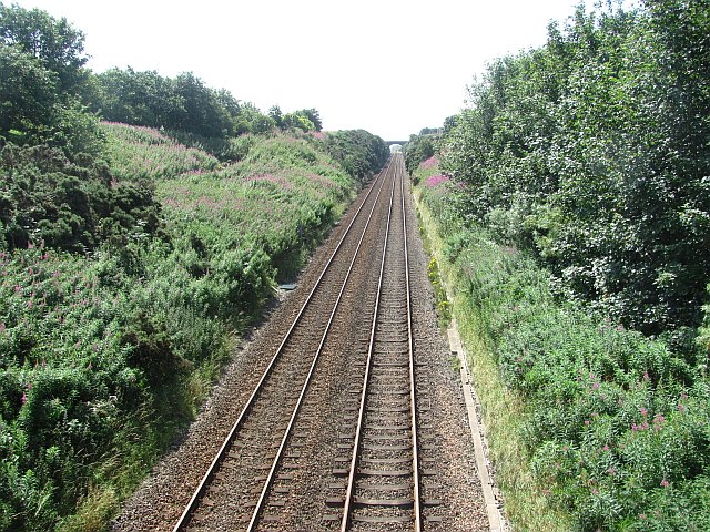
Images are sourced within 2km of 57.046443/-2.1193744 or Grid Reference NO9295. Thanks to Geograph Open Source API. All images are credited.

Portlethen from the A90
House and fields north of Newtonhill
Quiet, but wide residential street Photographer is standing near the street edge
Quiet, but wide residential street
Photographer is standing near the street edge
Looking towards Cammachmore Bay Photographer is standing at the verge of the minor paved road.
Looking towards Cammachmore Bay
Photographer is standing at the verge of the minor paved road.
Coastal scene at England farm A wisp of the North Sea is visible at image upper right. This locale is only accessible on an unpaved farm road; hence the 4x4 vehicle is desirable.
Coastal scene at England farm
A wisp of the North Sea is visible at image upper right. This locale is only accessible on an unpaved farm road; hence the 4x4 vehicle is desirable.
Coastal view towards Downies Access to this point only via unpaved farm track.
Coastal view towards Downies
Access to this point only via unpaved farm track.
Residential lane in Old Portlethen Photographer is standing at the edge of the paved lane.
Residential lane in Old Portlethen
Photographer is standing at the edge of the paved lane.
Coastal access limited by residential uses Since there is no parking and no signage present, the coastal visitor here in Old Portlethen is in a quandary as to how best to achieve access to the beautiful rugged coastline that lies beyond. Most significantly, the planning decisions that led up to the present land use configuration, are confusing to say the least, with a curtain wall of single family residences effectively occupying most of the potential coastal access from the village.
Coastal access limited by residential uses
Since there is no parking and no signage present, the coastal visitor here in Old Portlethen is in a quandary as to how best to achieve access to the beautiful rugged coastline that lies beyond. Most significantly, the planning decisions that led up to the present land use configuration, are confusing to say the least, with a curtain wall of single family residences effectively occupying most of the potential coastal access from the village.
Portlethen Railway Station View from an overbridge, looking northwards.  This has been the site of a station for a long time, since well before the building of a small town at Portlethen and it used to serve Portlethen Village on the coast.
Portlethen Railway Station
View from an overbridge, looking northwards. This has been the site of a station for a long time, since well before the building of a small town at Portlethen and it used to serve Portlethen Village on the coast.
Cairnwell Drive Like almost all of Portlethen, new.
Cairnwell Drive
Like almost all of Portlethen, new.
Railway, Portlethen Looking southwards on the railway serving Aberdeen.
Railway, Portlethen
Looking southwards on the railway serving Aberdeen.
Jubilee Hall The hall was originally a drill hall.
Jubilee Hall
The hall was originally a drill hall.
Portlethen railway station, Aberdeenshire Opened in 1850 by the Aberdeen Railway on what is today the line from Dundee to Aberdeen, this station closed to passengers in 1956 and completely in 1963.
View north towards Cove Bay and Aberdeen. The 1850 station platforms were mostly on the far side of where the footbridge now is.
Portlethen railway station, Aberdeenshire
Opened in 1850 by the Aberdeen Railway on what is today the line from Dundee to Aberdeen, this station closed to passengers in 1956 and completely in 1963. View north towards Cove Bay and Aberdeen. The 1850 station platforms were mostly on the far side of where the footbridge now is.
Junction at Cammachmore, near Portleithen
Platform 2 Portlethen Rail Station
Portlethen Station As others have noted, opened 1850, closed 1956 when the Aberdeen suburban services were abandoned and reopened in 1985.  Facilities are minimal, with bus shelters and a ticket machine.
Portlethen Station
As others have noted, opened 1850, closed 1956 when the Aberdeen suburban services were abandoned and reopened in 1985. Facilities are minimal, with bus shelters and a ticket machine.
Portlethen parish kirk The Buildings of Scotland (Pevsner) Guide is not impressed with the 1840 structure: "a meagre Gothic box with bellcote".  It just scrapes a C-listing (LB2874): <span class="nowrap"><a title="http://portal.historicenvironment.scot/designation/LB2874" rel="nofollow ugc noopener" href="http://portal.historicenvironment.scot/designation/LB2874">Link</a><img style="margin-left:2px;" alt="External link" title="External link - shift click to open in new window" src="https://s1.geograph.org.uk/img/external.png" width="10" height="10"/></span>  .
Portlethen parish kirk
The Buildings of Scotland (Pevsner) Guide is not impressed with the 1840 structure: "a meagre Gothic box with bellcote". It just scrapes a C-listing (LB2874): LinkExternal link .
Portlethen health centre
Show me another place!

Craiglonny is located at Grid Ref: NO9295 (Lat: 57.046443, Lng: -2.1193744)

Unitary Authority: Aberdeenshire

Police Authority: North East

What 3 Words

///retract.sunbeam.month. Near Newtonhill, Aberdeenshire

Related Wikis

Cammachmore Bay

Cammachmore Bay is an embayment of the North Sea between Stonehaven and Aberdeen in Aberdeenshire, Scotland. The fishing village of Downies is situated...

Craigmaroinn

Craigmaroinn is a skerry in the North Sea near the Aberdeenshire coastline in Scotland. Craigmaroinn is situated midway between the coastal villages of...

Portlethen Village

Portlethen Village is a settlement located to the east of Portlethen along the North Sea coast in Aberdeenshire, Scotland. The village is also known as...

Downies

Downies is a cliff-top village in Aberdeenshire, Scotland situated on Cammachmore Bay. Historically Downies was a fishing village, until much of the local...

Nearby Amenities

Located within 500m of 57.046443,-2.1193744
Source: PGS
Lat/Long: 57.0432103/-2.1248079
Source: PGS
Lat/Long: 57.043362/-2.123697
Source: PGS
Lat/Long: 57.043359/-2.123227
Source: PGS
Lat/Long: 57.0427556/-2.1230972
Source: PGS
Lat/Long: 57.0429123/-2.1224749
Source: PGS
Lat/Long: 57.043096/-2.122294
Source: PGS
Lat/Long: 57.043223/-2.122057
Source: PGS
Lat/Long: 57.0438284/-2.1212304
Source: PGS
Lat/Long: 57.0442357/-2.1208388
Source: PGS
Lat/Long: 57.0443137/-2.1202331
Source: PGS
Lat/Long: 57.0442935/-2.1197176
Source: PGS
Lat/Long: 57.0447248/-2.1201473
Source: PGS
Lat/Long: 57.044749/-2.120611
Source: PGS
Lat/Long: 57.0449425/-2.121048
Source: PGS
Lat/Long: 57.045269/-2.121773
Source: PGS
Lat/Long: 57.046037/-2.121754
Source: PGS
Lat/Long: 57.0460427/-2.1204799
Source: PGS
Lat/Long: 57.0461136/-2.1200722
Source: PGS
Lat/Long: 57.046023/-2.119642
Source: PGS
Lat/Long: 57.0463455/-2.1199965
Source: PGS
Lat/Long: 57.0464585/-2.1202326
Source: PGS
Lat/Long: 57.0466359/-2.1207261
Source: PGS
Lat/Long: 57.0468495/-2.1213167
Source: PGS
Lat/Long: 57.047186/-2.121258
Source: PGS
Lat/Long: 57.047445/-2.121721
Source: PGS
Lat/Long: 57.047711/-2.123124
Source: PGS
Lat/Long: 57.047843/-2.123591
Source: PGS
Lat/Long: 57.048098/-2.123585
Source: PGS
Lat/Long: 57.0484608/-2.1229491
Source: PGS
Lat/Long: 57.0484848/-2.12241
Source: PGS
Lat/Long: 57.048472/-2.122167
Source: PGS
Lat/Long: 57.048599/-2.12193
Source: PGS
Lat/Long: 57.048725/-2.121691
Source: PGS
Lat/Long: 57.048847/-2.120749
Source: PGS
Lat/Long: 57.0493575/-2.120188
Source: PGS
Lat/Long: 57.0496711/-2.1196731
Source: PGS
Lat/Long: 57.049732/-2.119318
Source: PGS
Lat/Long: 57.0503086/-2.1184623
Source: PGS
Lat/Long: 57.0501764/-2.1181861
Source: PGS
Lat/Long: 57.0501853/-2.1166974
Source: PGS
Lat/Long: 57.0505456/-2.1165376
Downies
Alt Name: Downies Village
Place: village
Lat/Long: 57.046574/-2.126153
Post Box
Operator: Royal Mail
Lat/Long: 57.0464226/-2.1245281
Spootie
Man Made: water_well
Pump: manual
Lat/Long: 57.0466692/-2.125145
Downies Haven
Natural: bay
Lat/Long: 57.0456794/-2.1205872
Cammachmore Bay
Natural: bay
Wikidata: Q5026848
Wikipedia: en:Cammachmore Bay
Lat/Long: 57.047979/-2.1211987
The data included in this document is from www.openstreetmap.org. The data is made available under ODbL.

Have you been to Craiglonny?

Leave your review of Craiglonny below (or comments, questions and feedback).