Butter Hill

Hill, Mountain in Staffordshire Stafford

England

Butter Hill

Billington Looking from the road to Bury Ring earthworks to Billington Farm across the A518
Billington Credit: Andrew Spenceley

Butter Hill is a prominent hill located in the county of Staffordshire, England. Situated near the town of Leek, it forms part of the Peak District National Park and offers stunning panoramic views of the surrounding countryside.

Rising to an elevation of approximately 410 meters (1,345 feet), Butter Hill is a popular destination for outdoor enthusiasts and nature lovers. It boasts a diverse range of flora and fauna, including various species of wildflowers, grasses, and trees. The hill is also home to a variety of wildlife, such as rabbits, foxes, and a wide array of bird species.

The hill is accessible via several footpaths and trails, making it an ideal location for walkers, hikers, and cyclists. The routes to the summit vary in difficulty, offering options for both beginners and experienced adventurers. Once at the top, visitors are rewarded with breathtaking views of the surrounding countryside, including the rolling hills and valleys that make up the Staffordshire Moorlands.

In addition to its natural beauty, Butter Hill also holds historical significance. It is believed to have been a site of Bronze Age and Iron Age settlements, with evidence of ancient barrows and tumuli found in the area. The hill's name is thought to originate from the Old English word "butter," meaning "a low-lying hill," which further attests to its long-standing historical and cultural importance.

Overall, Butter Hill is a picturesque and historically significant landmark in Staffordshire, offering visitors a chance to immerse themselves in nature, explore its rich history, and enjoy the stunning vistas it provides.

If you have any feedback on the listing, please let us know in the comments section below.
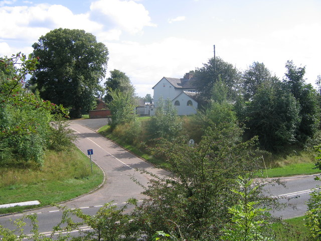
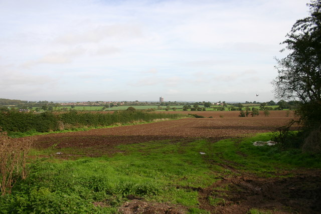
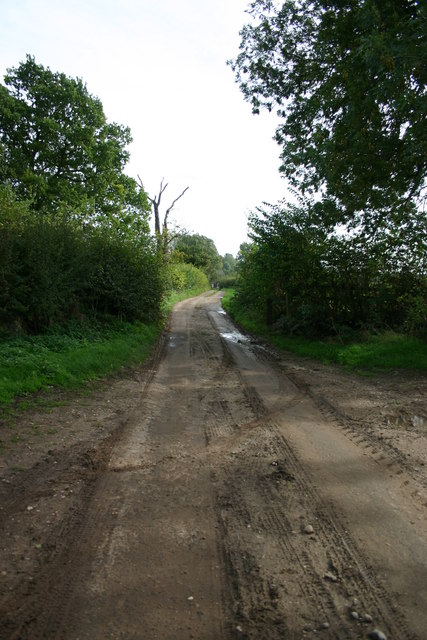
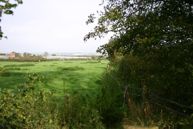
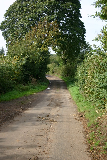
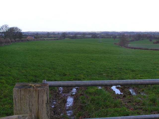
Butter Hill Images

Images are sourced within 2km of 52.769626/-2.155392 or Grid Reference SJ8919. Thanks to Geograph Open Source API. All images are credited.

Billington Looking from the road to Bury Ring earthworks to Billington Farm across the A518
Billington
Looking from the road to Bury Ring earthworks to Billington Farm across the A518
Fields off Billington Bank, Stafford A view of fields from an unnamed lane off the brow of Billington bank near Stafford. On the horizon in the distance is 'The Keep', a block of flats on the Highfields Estate in Stafford. There used to be a second block but that was brought down and new housing built.
Fields off Billington Bank, Stafford
A view of fields from an unnamed lane off the brow of Billington bank near Stafford. On the horizon in the distance is 'The Keep', a block of flats on the Highfields Estate in Stafford. There used to be a second block but that was brought down and new housing built.
Unnamed Lane to Leese Farm At the end of this unnamed lane is a public footpath and Leese Farm which can just be seen (the two white features are the windows!).
Unnamed Lane to Leese Farm
At the end of this unnamed lane is a public footpath and Leese Farm which can just be seen (the two white features are the windows!).
A Field next to Billington Bank, Stafford This field is next to Billington Bank (A518) which is just beyond the distant hedge. Over the other side of the road are cold frames which produce strawberries for supermarkets.
A Field next to Billington Bank, Stafford
This field is next to Billington Bank (A518) which is just beyond the distant hedge. Over the other side of the road are cold frames which produce strawberries for supermarkets.
Un-named Lane off Billington Bank, Stafford This lane is leading to the A518, Billington Bank near Stafford.
Un-named Lane off Billington Bank, Stafford
This lane is leading to the A518, Billington Bank near Stafford.
Leese Farm from Thorneyfields Lane
A518 at Billington Bank
A518 towards Billington This is taken from one of the numerous laybys created when the road was straightened.
A518 towards Billington
This is taken from one of the numerous laybys created when the road was straightened.
Another Barn to be sold for Conversion
Track and Barns, Leese Farm
Gateway and Field Taken from Leese Farm, looking towards Stafford Castle, which can be seen above the trees in the centre of the picture.
Gateway and Field
Taken from Leese Farm, looking towards Stafford Castle, which can be seen above the trees in the centre of the picture.
Post Box at Billington
Lowland in central Staffordshire
Bury Road junction at Billington Off A518 west
Bury Road junction at Billington
Off A518 west
Old Milepost by the A518, Billington Bank, Bradley parish Cast iron post by the A518, in parish of BRADLEY (STAFFORD District), Billington, in hedge, on Southeast side of road. Lathe iron casting, erected by the County Council in the 19th/20th century. 

Inscription reads:- 
: HAUGHTON 1½ / GNOSALL 4 / NEWPORT 9½ : : BILLINGTON : : STAFFORD 3 :
Maker:-
: Chas. Lathe, Tipton. :

Staffordshire HER.
HER Number: 51299 <span class="nowrap"><a title="https://www.heritagegateway.org.uk/Gateway/Results_Single.aspx?uid=MST12519&resourceID=1010" rel="nofollow ugc noopener" href="https://www.heritagegateway.org.uk/Gateway/Results_Single.aspx?uid=MST12519&resourceID=1010">Link</a><img style="margin-left:2px;" alt="External link" title="External link - shift click to open in new window" src="https://s1.geograph.org.uk/img/external.png" width="10" height="10"/></span>

Milestone Society National ID: ST_STNP03.
Old Milepost by the A518, Billington Bank, Bradley parish
Cast iron post by the A518, in parish of BRADLEY (STAFFORD District), Billington, in hedge, on Southeast side of road. Lathe iron casting, erected by the County Council in the 19th/20th century. Inscription reads:- : HAUGHTON 1½ / GNOSALL 4 / NEWPORT 9½ : : BILLINGTON : : STAFFORD 3 : Maker:- : Chas. Lathe, Tipton. : Staffordshire HER. HER Number: 51299 LinkExternal link Milestone Society National ID: ST_STNP03.
Billington Hall Farm On the A518.
Billington Hall Farm
On the A518.
A518 towards Stafford
Field off the A518, Billington
Show me another place!

Butter Hill is located at Grid Ref: SJ8919 (Lat: 52.769626, Lng: -2.155392)

Administrative County: Staffordshire

District: Stafford

Police Authority: Staffordshire

What 3 Words

///speeches.author.downsize. Near Stafford, Staffordshire

Nearby Locations

Butter Hill

Related Wikis

St Lawrence's Church, Coppenhall

St Lawrence's Church, Coppenhall is a Grade II* listed parish church in the Church of England in Coppenhall, Staffordshire. == History == The small ancient...

Coppenhall

Coppenhall is a small settlement in Staffordshire, England. Coppenhall lies 2 kilometres (1 mi) southwest of Stafford and 4 miles (6.4 km) NNW of Penkridge...

Hyde Lea

Hyde Lea is a village and parish in Staffordshire, England, just west of Stafford itself. Hyde Lea borders the southern boundary of Castle Church parish...

Bradley, Staffordshire

Bradley is a village and civil parish in Staffordshire, England. The population of the civil parish at the 2011 census was 513. It is located close to...

Berry Ring

Berry Ring (also known as Bury Ring) is an Iron Age hillfort in Staffordshire, England, lying some two miles southwest of the county town of Stafford,...

Stafford Grammar School

Stafford Grammar School is a mixed independent day school at Burton Manor, located on the outskirts of Stafford, the county town of Staffordshire. Founded...

Levedale

Levedale is a small somewhat elongated English village situated some 4 miles southwest of Stafford, 2 miles northwest of Penkridge and a mile west of Dunston...

Stafford Manor High School

Stafford Manor High School is a mixed secondary school and sixth form located in Stafford in the English county of Staffordshire.Previously known as Rising...

Related Videos

Our daily walk

Our First EVER you tube video! During this lockdown for Covid-19 we thought we'd try something different and make a video of ...

Hyde Lea & Coppenhall Walk - Staffordshire countryside at its best

We hadn't been for a walk around the local fields and villages for a while so we decided to take a walk around the local area and ...

Hyde Lea & Coppenhall in the snow

A great walk in the snow around our local area of Hyde Lea and Coppenhall. 3.5 miles around the snowy fields taking in lovely ...

The Red Lion Pub Walk - Bradley, Staffordshire

This is the first in what will be a series of short walk based around pubs or cafes. This is a 3.5 mile loop starting and finishing at the ...

Nearby Amenities

Located within 500m of 52.769626,-2.155392
Barrier: stile
Lat/Long: 52.771376/-2.1546288
Barrier: stile
Lat/Long: 52.7716636/-2.1545226
Butter Hill
Ele: 154
Natural: peak
Source: npe
Lat/Long: 52.769236/-2.1561907
The data included in this document is from www.openstreetmap.org. The data is made available under ODbL.

Have you been to Butter Hill?

Leave your review of Butter Hill below (or comments, questions and feedback).