Brown Hill
Hill, Mountain in Lancashire Rossendale
England
Brown Hill
Brown Hill is a small hill located in the county of Lancashire, in the North West of England. It is part of the Rossendale Valley, which is known for its rugged landscapes and picturesque views. Standing at an elevation of approximately 1,100 feet (335 meters), Brown Hill is classified as a hill rather than a mountain due to its modest height.
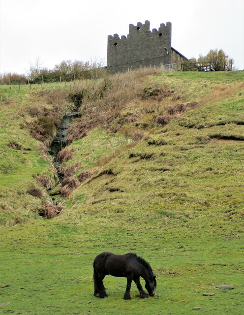
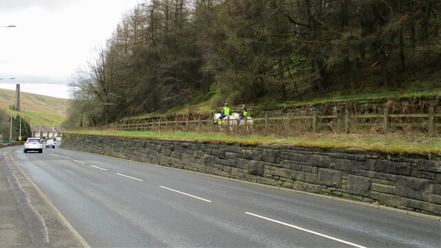
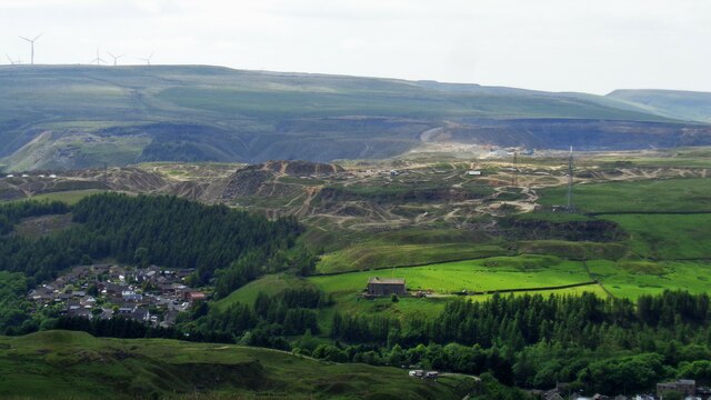
The hill is situated near the town of Rawtenstall, and offers panoramic vistas of the surrounding countryside. It is widely popular among hikers and nature enthusiasts, who are drawn to its tranquil atmosphere and scenic beauty. The hill is covered in lush greenery, with a mix of grasslands, heather, and scattered trees dotting its slopes.
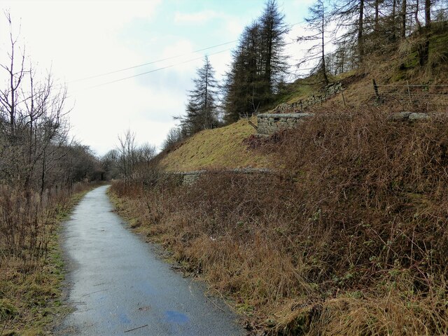
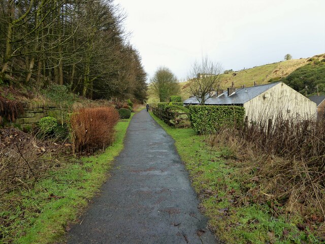
Due to its relatively small size, Brown Hill is easily accessible and offers a range of walking paths for visitors to explore. These paths lead to the summit, where on a clear day, one can enjoy breathtaking views of the surrounding hills and valleys. The hill also boasts several vantage points, allowing visitors to capture stunning photographs of the landscape.
In addition to its natural beauty, Brown Hill is home to a diverse range of wildlife, including various bird species, rabbits, and occasionally, deer. The area surrounding the hill is also rich in history, with remnants of ancient settlements and stone structures adding to its allure.
Overall, Brown Hill in Lancashire is a charming and picturesque destination, offering a peaceful retreat for those seeking a connection with nature and a chance to explore the scenic beauty of the Rossendale Valley.
If you have any feedback on the listing, please let us know in the comments section below.
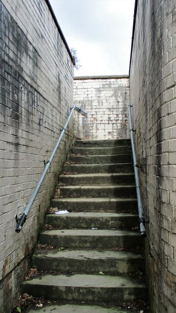
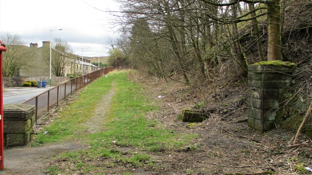
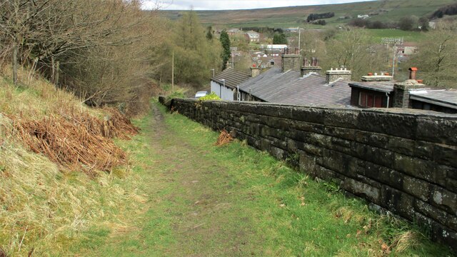
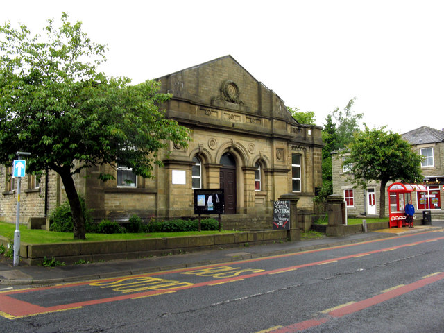
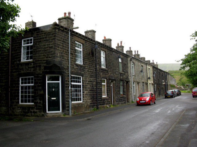
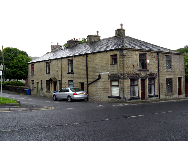
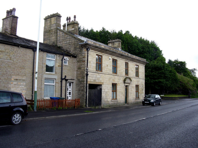
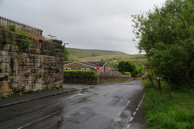
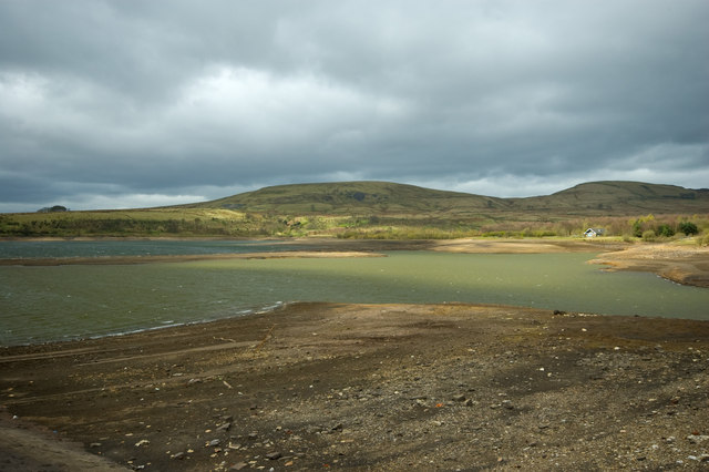
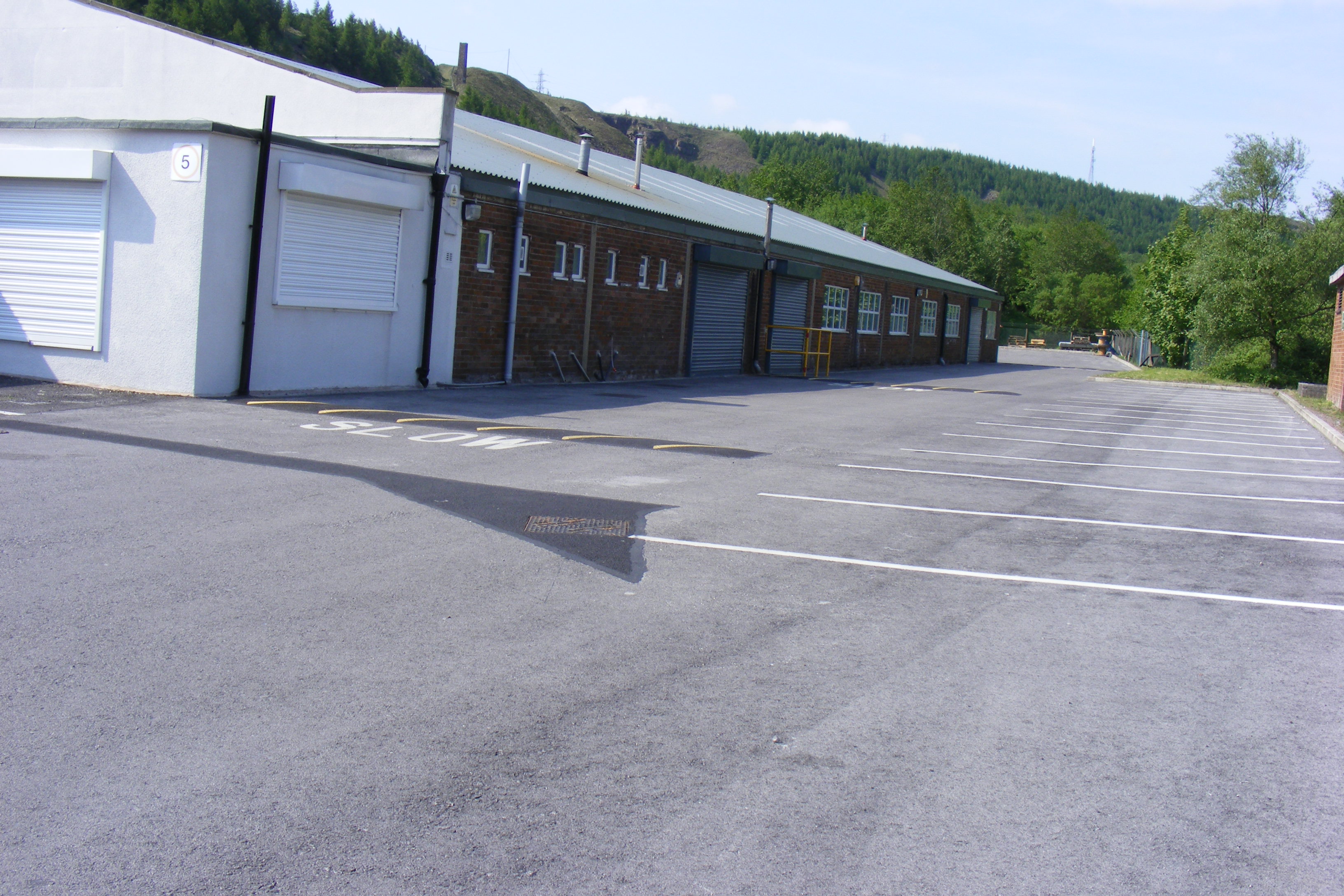
Brown Hill Images
Images are sourced within 2km of 53.672587/-2.1587308 or Grid Reference SD8919. Thanks to Geograph Open Source API. All images are credited.


Brown Hill is located at Grid Ref: SD8919 (Lat: 53.672587, Lng: -2.1587308)
Administrative County: Lancashire
District: Rossendale
Police Authority: Lancashire
What 3 Words
///played.hits.motored. Near Whitworth, Lancashire
Nearby Locations
Related Wikis
Brown Wardle Hill
Brown Wardle is a hill between the village of Wardle, Greater Manchester and the town of Whitworth, Lancashire, England. The summit is on the border of...
Facit railway station
Facit railway station served Facit near Whitworth, Rossendale, Lancashire, England, from 1870 until closure to passengers in 1947 and freight in 1963....

Shawforth railway station
Shawforth railway station served Shawforth near Bacup, Rossendale, Lancashire, England, from 1881 until closure in 1947. == References == Suggitt, Gordon...

Shawforth
Shawforth ( SHAW-fərth) is a ward in the township of Whitworth within the Rossendale borough of Lancashire, England. It lies amongst the South Pennines...

Whitworth, Lancashire
Whitworth is a town and civil parish in Rossendale, Lancashire, England, amongst the foothills of the Pennines between Bacup, to the north, and Rochdale...

Watergrove Reservoir
Watergrove Reservoir is a reservoir close to Wardle in the Metropolitan Borough of Rochdale, within Greater Manchester, England. Rochdale Corporation...

Britannia, Lancashire
Britannia is a suburb of Bacup in the Rossendale borough of Lancashire, England. It lies on the course of two major roads and has a school and a nature...

Whitworth railway station
Whitworth railway station served the town of Whitworth, Rossendale, Lancashire, England, from 1870 until closure in 1947. == References == Lost Railways...
Related Videos
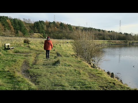
Watergrove Valley
Some of our walks were filmed earlier than recent walks. Watergrove Valley is one of them. It's local and not the first time we've ...

soggy walk around Watergrove reservoir and up in the hills.
soggy wet sunny walk #wardle #Rochdale #watergrove #walk #walking https://amzn.to/48qjF2e.

Brown Wardle Hill June 2020
A Sunday walk trying to build back up after lockdown, a bit longer mileage and steeper terrain, Brown Wardle Hill and Watergrove ...

Have you been to Brown Hill?
Leave your review of Brown Hill below (or comments, questions and feedback).