Green Hill
Hill, Mountain in Yorkshire Pendle
England
Green Hill
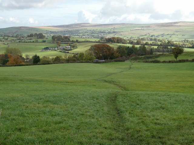
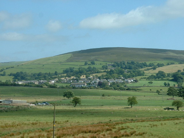
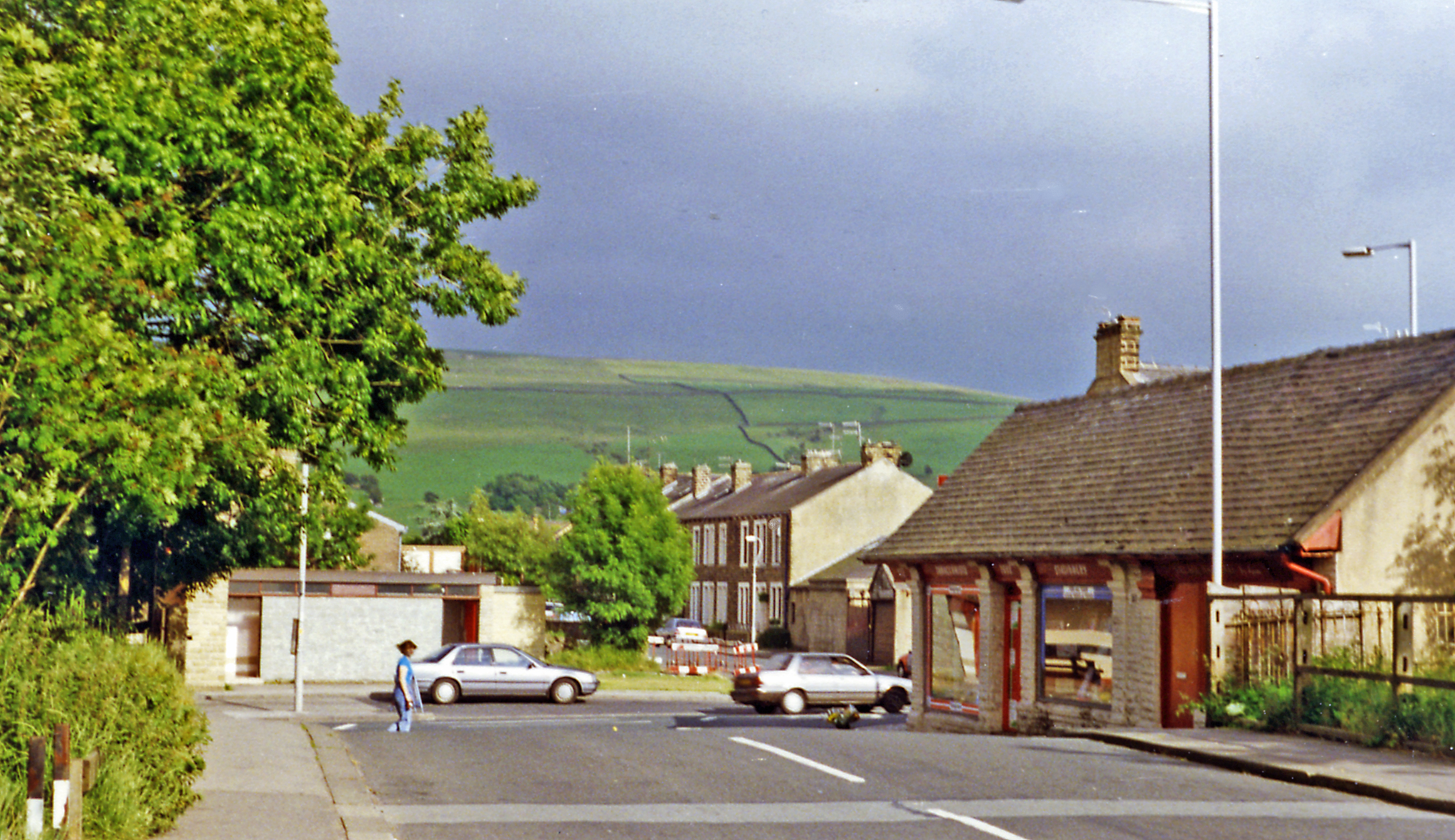
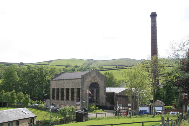
Green Hill is a prominent geographical feature located in the county of Yorkshire, England. Situated in the eastern part of the county, Green Hill is part of the stunning North York Moors National Park. It is renowned for its natural beauty and captivating landscapes, attracting visitors and nature enthusiasts from far and wide.
Rising to an elevation of approximately 360 meters (1,181 feet), Green Hill is classified as a hill rather than a mountain. Despite its modest height, the hill offers breathtaking panoramic views of the surrounding moorland, valleys, and nearby towns. The lush greenery covering the slopes of Green Hill is composed of a variety of vegetation, including heather, grasses, and wildflowers, which add to its appeal during the warmer months.
Green Hill is a popular destination for outdoor activities such as hiking, walking, and birdwatching. The hill is traversed by well-maintained footpaths, providing visitors with the opportunity to explore its diverse terrain and discover its hidden treasures. Along the way, one may encounter a rich array of wildlife, including various bird species, small mammals, and even elusive deer.
The peaceful and serene atmosphere of Green Hill makes it an ideal spot for relaxation and contemplation. Many visitors are drawn to its tranquility and find solace in its unspoiled surroundings. The hill's accessibility and proximity to nearby towns and villages also make it a convenient destination for day trips or longer stays.
In conclusion, Green Hill in Yorkshire is a captivating natural landmark that offers stunning views, diverse flora and fauna, and a peaceful retreat from the hustle and bustle of everyday life.
If you have any feedback on the listing, please let us know in the comments section below.
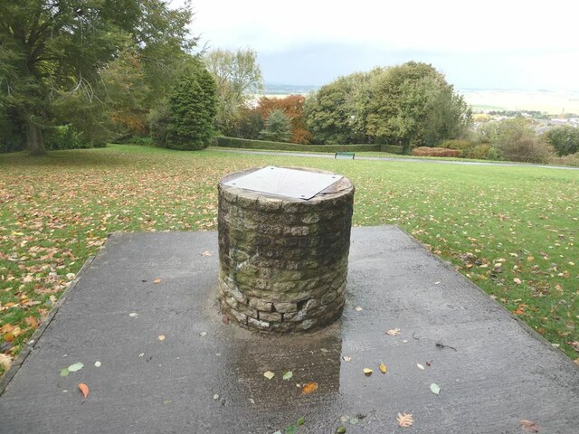
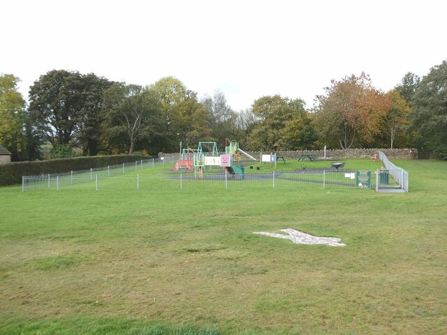
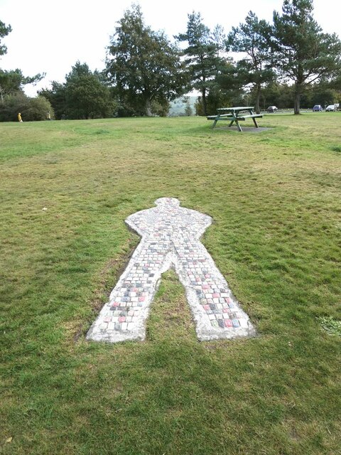
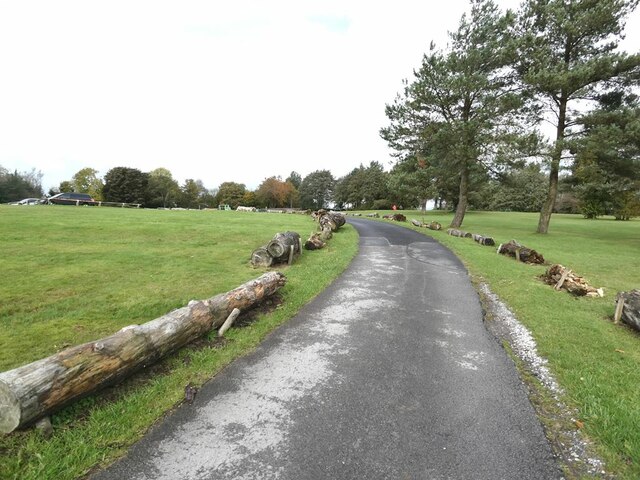
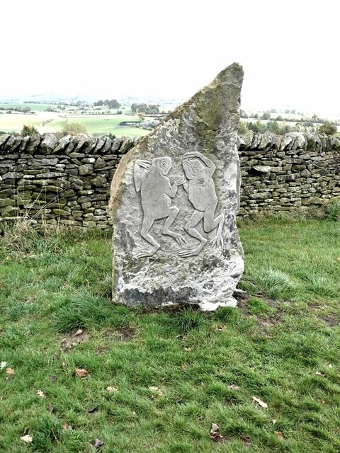
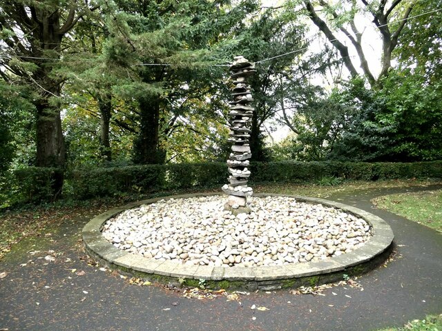
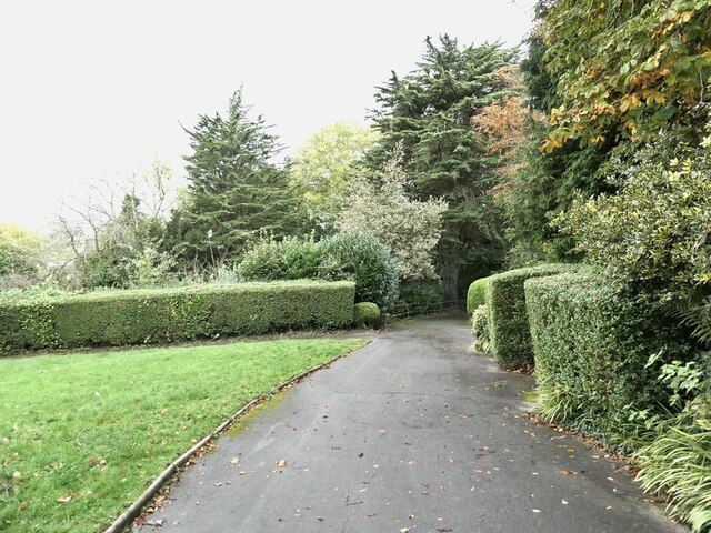
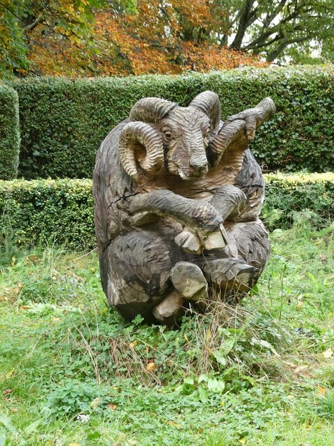
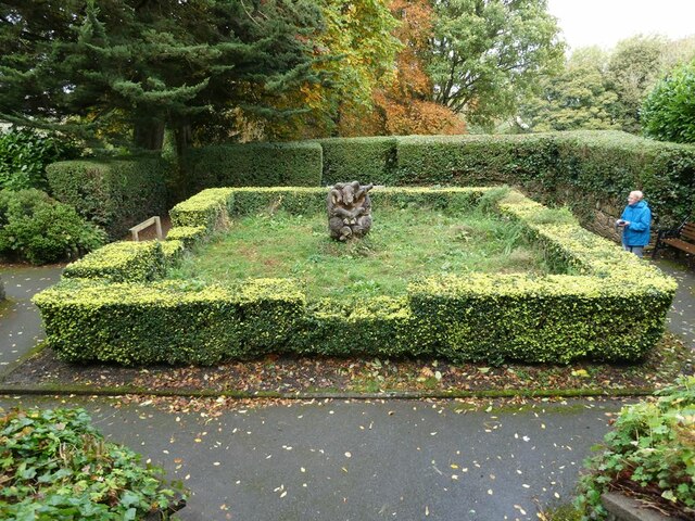
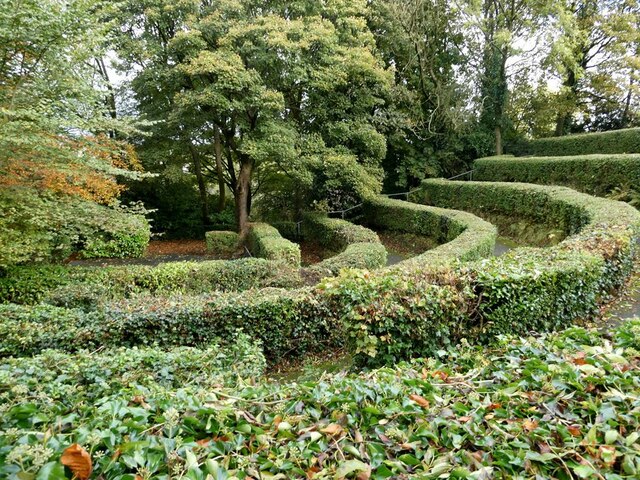
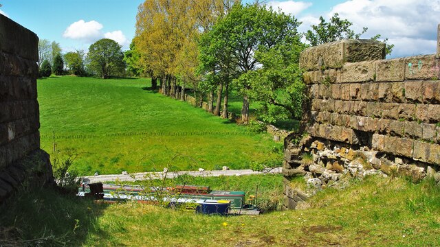
Green Hill Images
Images are sourced within 2km of 53.90166/-2.1675286 or Grid Reference SD8945. Thanks to Geograph Open Source API. All images are credited.


Green Hill is located at Grid Ref: SD8945 (Lat: 53.90166, Lng: -2.1675286)
Division: West Riding
Administrative County: Lancashire
District: Pendle
Police Authority: Lancashire
What 3 Words
///debate.patch.retaliate. Near Barnoldswick, Lancashire
Nearby Locations
Related Wikis
Salterforth
Salterforth is a village and civil parish within the Borough of Pendle in Lancashire, England. The population of the Civil Parish at the 2011 census was...

Kelbrook and Sough
Kelbrook and Sough is a civil parish in the Pendle district of Lancashire, England. It has a population of 1,008, and contains the village of Kelbrook...

A58 road
The A58 is a major road in Northern England running between Prescot, Merseyside and Wetherby, West Yorkshire. == Route from West to East == Its westbound...
Kelbrook
Kelbrook is a village in the civil parish of Kelbrook and Sough, Borough of Pendle, in Lancashire, England. It lies on the A56 road between Colne and Earby...

Sough, Lancashire
Sough is a hamlet, in Lancashire, England. Sough is located east of the main A56 road between Earby and Kelbrook; it is in the area known as West Craven...

West Craven High School, Barnoldswick
West Craven High School is a mixed 11 to 16 comprehensive school in Barnoldswick, Lancashire, England. == School history == Funding to update the school...
Earby railway station
Earby railway station was a junction station that served the town of Earby, in the West Riding of Yorkshire, England. Since 1974 Earby is within the boundaries...
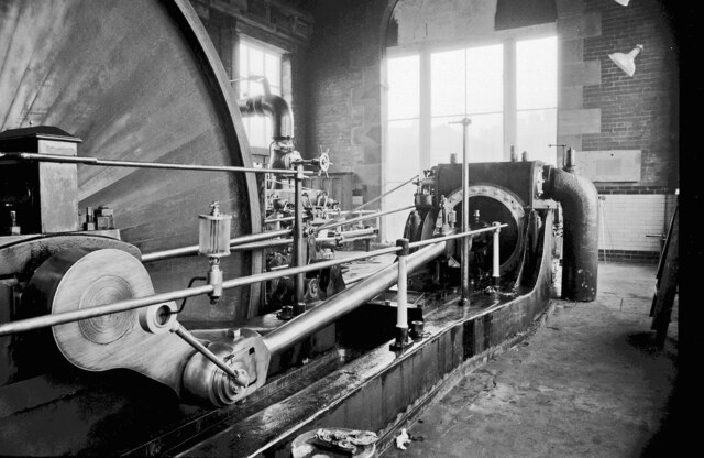
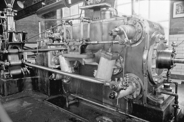
Bancroft Shed
Bancroft Shed was a weaving shed in Barnoldswick, Lancashire, England, situated on the road to Skipton. Construction was started in 1914 and the shed was...
Nearby Amenities
Located within 500m of 53.90166,-2.1675286Have you been to Green Hill?
Leave your review of Green Hill below (or comments, questions and feedback).