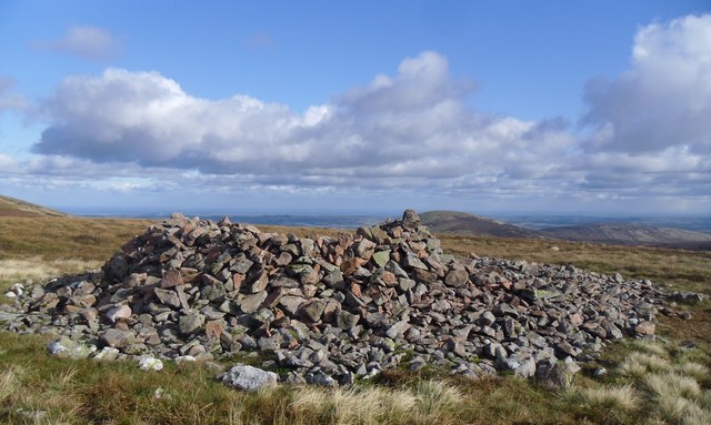
Auchope Cairn
Hill, Mountain in Roxburghshire
Scotland
Auchope Cairn
Auchope Cairn is a prominent hill located in Roxburghshire, a historic county in the Scottish Borders of Scotland. Standing at an elevation of 538 meters (1,765 feet), it offers breathtaking panoramic views of the surrounding countryside.
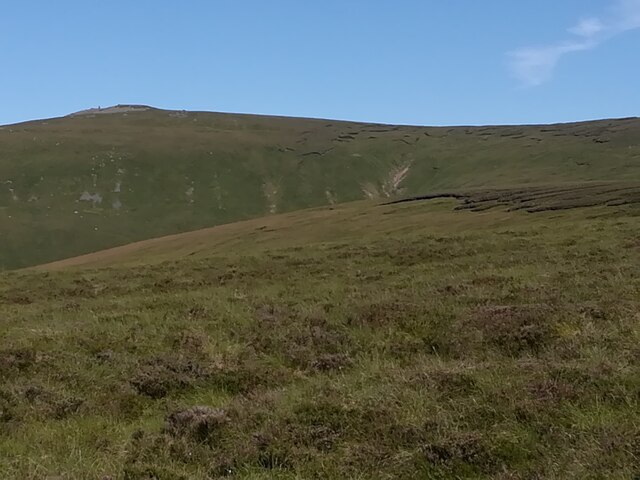
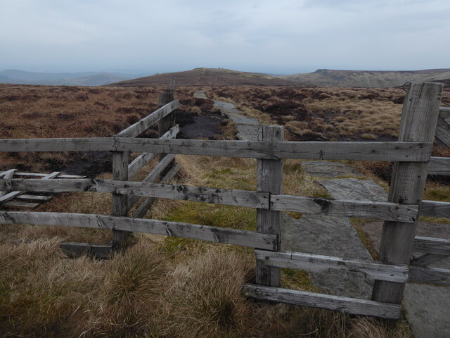
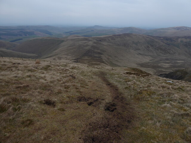
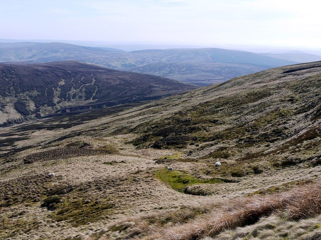
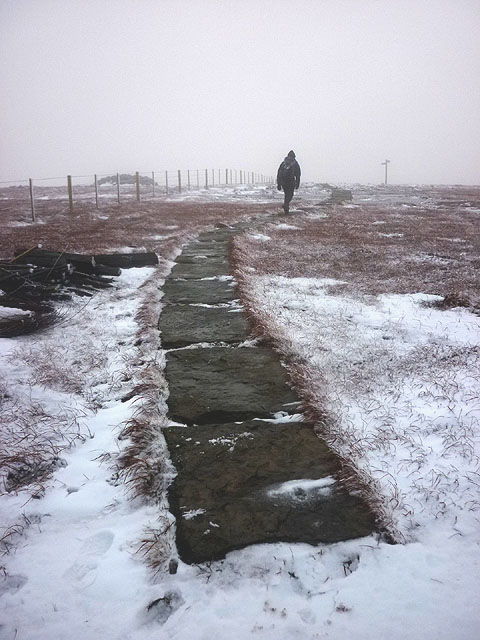
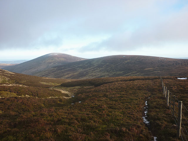
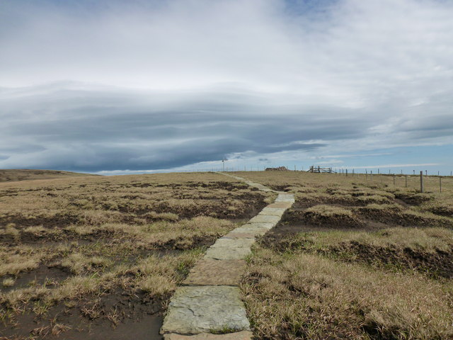
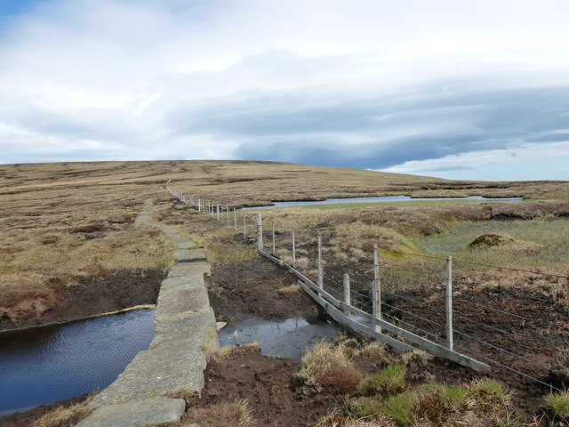
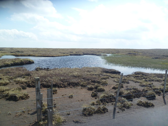
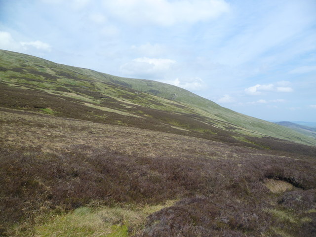
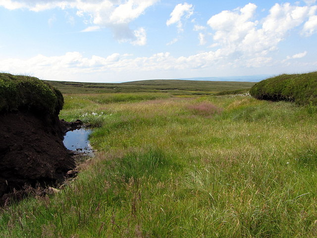
Situated in the Cheviot Hills, Auchope Cairn is renowned for its rugged beauty and diverse wildlife. The hill is primarily composed of grassy slopes, with patches of rocky outcrops adding to its dramatic allure. It is often covered in heather, creating a vivid purple hue during the summer months.
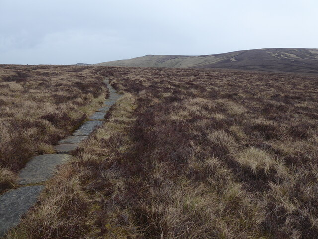
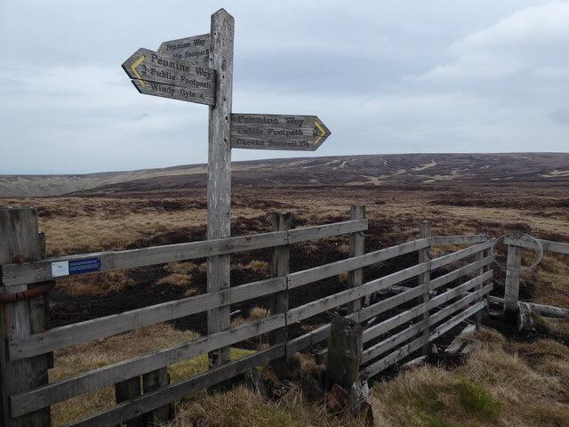
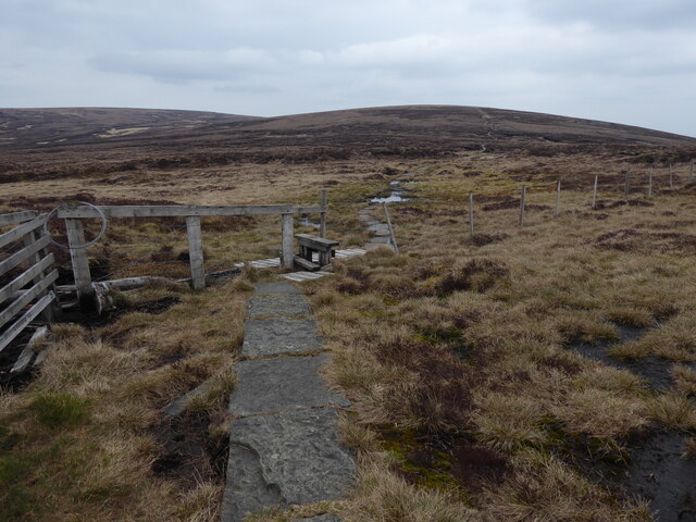
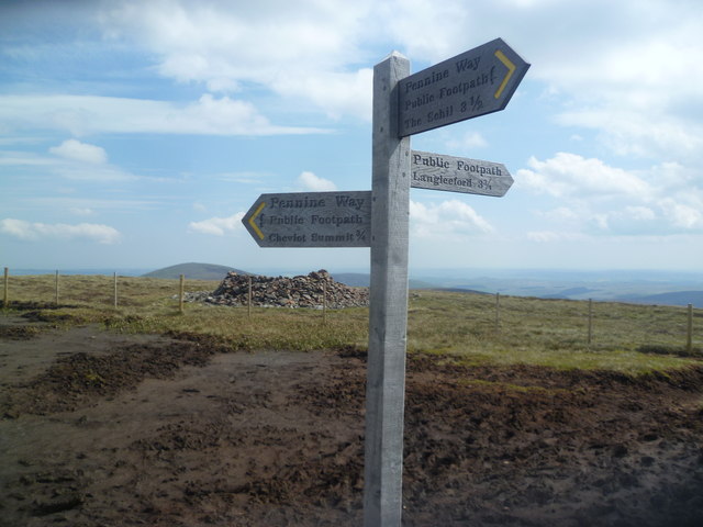
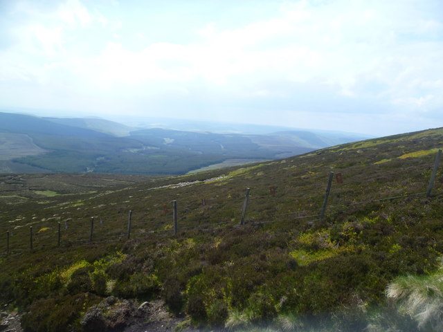
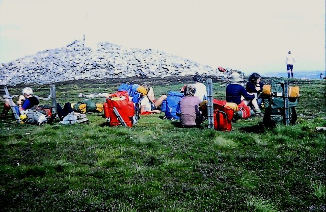
The hill is a popular destination for hikers and nature enthusiasts, as it provides a range of walking routes catering to different levels of difficulty. The ascent to the summit is moderately challenging, rewarding visitors with uninterrupted vistas across the rolling hills and valleys. On clear days, it is even possible to catch a glimpse of the Northumberland coast.
The area around Auchope Cairn is teeming with wildlife, making it a haven for birdwatchers and animal lovers. Red grouse, curlew, and skylarks can often be spotted in the heather-covered slopes, while buzzards and kestrels soar overhead. The hill is also home to red deer, which roam freely in the extensive upland areas.
Overall, Auchope Cairn offers a captivating blend of natural beauty, tranquility, and outdoor adventure. Whether one seeks to immerse themselves in the stunning landscapes or marvel at the abundant wildlife, this hill in Roxburghshire is a must-visit destination for nature enthusiasts.
If you have any feedback on the listing, please let us know in the comments section below.
Auchope Cairn Images
Images are sourced within 2km of 55.472227/-2.1741348 or Grid Reference NT8919. Thanks to Geograph Open Source API. All images are credited.
Auchope Cairn is located at Grid Ref: NT8919 (Lat: 55.472227, Lng: -2.1741348)
Unitary Authority: The Scottish Borders
Police Authority: The Lothians and Scottish Borders
What 3 Words
///overlooks.unite.stylists. Near Kirknewton, Northumberland
Nearby Locations
Related Wikis

Cheviot Hills
The Cheviot Hills (), or sometimes The Cheviots, are a range of uplands straddling the Anglo-Scottish border between Northumberland and the Scottish Borders...

The Cheviot
The Cheviot () is an extinct volcano and the highest summit in the Cheviot Hills and in the county of Northumberland. Located in the extreme north of England...

Hedgehope Hill
Hedgehope Hill is a mountain in the Cheviot Hills of north Northumberland in northeast England, and categorised as a Hewitt. At a height of 714 metres...

Windy Gyle
Windy Gyle is a mountain in the Cheviot Hills range, on the border between England and Scotland. Like the other hills in the area, it is rounded and grass...

Newton Tors
The Newton Tors are large, free-standing residual masses (rock outcrop) that form the western rim of the Great Moor which runs from the market town of...

College Valley
The College Valley is one of five cuttings into the Cheviot Hills. The valley is owned by College Valley Estates which in turn is funded by a trust created...

Mowhaugh
Mowhaugh is a hamlet and farm steading near the Calroust Burn and the Bowmont Water, near Morebattle, in the Scottish Borders area of Scotland, and in...
Kidland
Kidland is a former civil parish, now in the parish of Alwinton in Northumberland, England, about 2 miles (3 km) northwest of Alwinton village. In 1951...
Nearby Amenities
Located within 500m of 55.472227,-2.1741348Have you been to Auchope Cairn?
Leave your review of Auchope Cairn below (or comments, questions and feedback).