Hangingstone Hill
Hill, Mountain in Northumberland
England
Hangingstone Hill
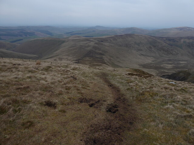
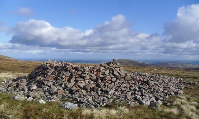
Hangingstone Hill is a prominent hill located in the county of Northumberland, England. It forms part of the Pennines, a range of hills and mountains that stretch across the northern part of England. Standing at an elevation of 528 meters (1,732 feet), it is one of the highest peaks in the area, offering breathtaking views of the surrounding countryside.
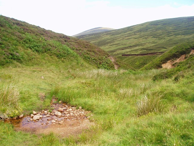
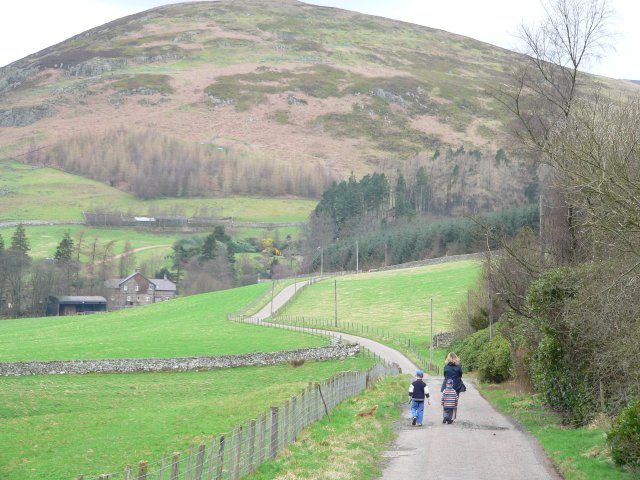
Situated near the village of Hexham, Hangingstone Hill is a popular destination for hikers and outdoor enthusiasts. Its distinctive shape, resembling a hanging stone, gives the hill its name and makes it easily recognizable from a distance. The hill is composed mainly of limestone, which has eroded over time, creating a rugged and picturesque landscape.
The ascent to Hangingstone Hill can be challenging, with steep gradients and uneven terrain, but the reward is well worth the effort. From the summit, visitors can enjoy panoramic vistas of the Northumberland National Park, the Cheviot Hills, and the rolling countryside of Northumberland. On clear days, it is even possible to catch a glimpse of the Scottish Borders in the distance.
The hill is also home to a diverse range of flora and fauna, including heather, bilberry bushes, and a variety of bird species. It is not uncommon to spot grouse, curlews, and other upland birds during a hike.
Overall, Hangingstone Hill is a natural gem in Northumberland, offering a challenging yet rewarding outdoor experience for those who seek to explore its rugged beauty and take in the stunning views it has to offer.
If you have any feedback on the listing, please let us know in the comments section below.
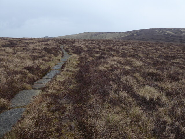
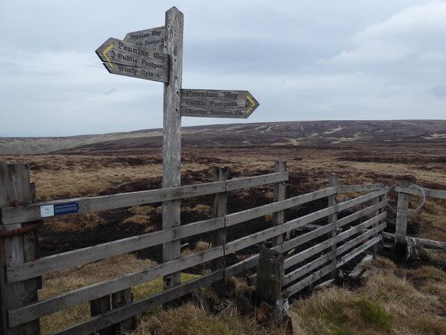
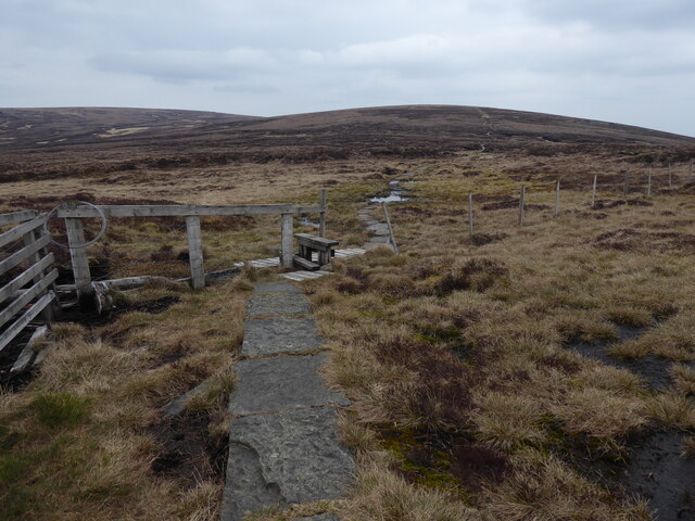
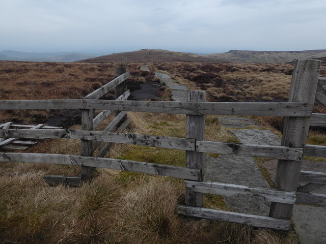
Hangingstone Hill Images
Images are sourced within 2km of 55.46744/-2.1664109 or Grid Reference NT8919. Thanks to Geograph Open Source API. All images are credited.


Hangingstone Hill is located at Grid Ref: NT8919 (Lat: 55.46744, Lng: -2.1664109)
Unitary Authority: Northumberland
Police Authority: Northumbria
What 3 Words
///routines.fence.glassware. Near Kirknewton, Northumberland
Nearby Locations
Related Wikis

Cheviot Hills
The Cheviot Hills (), or sometimes The Cheviots, are a range of uplands straddling the Anglo-Scottish border between Northumberland and the Scottish Borders...

The Cheviot
The Cheviot () is an extinct volcano and the highest summit in the Cheviot Hills and in the county of Northumberland. Located in the extreme north of England...

Hedgehope Hill
Hedgehope Hill is a mountain in the Cheviot Hills of north Northumberland in northeast England, and categorised as a Hewitt. At a height of 714 metres...

Windy Gyle
Windy Gyle is a mountain in the Cheviot Hills range, on the border between England and Scotland. Like the other hills in the area, it is rounded and grass...

Kidland
Kidland is a former civil parish, now in the parish of Alwinton in Northumberland, England, about 2 miles (3 km) northwest of Alwinton village. In 1951...
Linhope
Linhope is a small village in Northumberland, England. It is located in the Cheviots on the River Breamish, and within Northumberland National Park. Linhope...

Threestoneburn Stone Circle
Threestoneburn Stone Circle is an archaeological site, a stone circle near the village of Ilderton and about 5 miles (8 km) south of Wooler, in Northumberland...

Newton Tors
The Newton Tors are large, free-standing residual masses (rock outcrop) that form the western rim of the Great Moor which runs from the market town of...
Have you been to Hangingstone Hill?
Leave your review of Hangingstone Hill below (or comments, questions and feedback).