Carr Brow Moor
Hill, Mountain in Durham
England
Carr Brow Moor

Carr Brow Moor is a prominent hill located in County Durham, England. Situated within the North Pennines Area of Outstanding Natural Beauty, it offers breathtaking panoramic views of the surrounding landscape. The hill stands at an elevation of approximately 398 meters (1,306 feet) and is a popular destination for hikers, nature enthusiasts, and photographers.
The moor is characterized by its heather-covered slopes and rugged terrain, providing a picturesque setting for outdoor activities. Its location within the North Pennines, a designated Area of Outstanding Natural Beauty, ensures that the area is well-preserved and rich in biodiversity. Visitors can expect to encounter a variety of wildlife, including birds of prey, sheep, and wild ponies.
Carr Brow Moor is part of the broader Weardale and Teesdale uplands, which are renowned for their geological significance. The area is composed of a mixture of sedimentary rocks, including limestone and sandstone, resulting in unique landforms and scenic beauty. The hill also boasts several walking trails, allowing visitors to explore its natural wonders and immerse themselves in the tranquility of the surrounding countryside.
Throughout the year, Carr Brow Moor showcases a vibrant display of colors, with purple heather dominating the landscape during the summer months. The hill offers a peaceful retreat away from the hustle and bustle of urban life, providing a chance to connect with nature and enjoy the serenity of the Durham countryside.
If you have any feedback on the listing, please let us know in the comments section below.
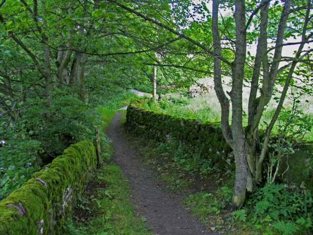
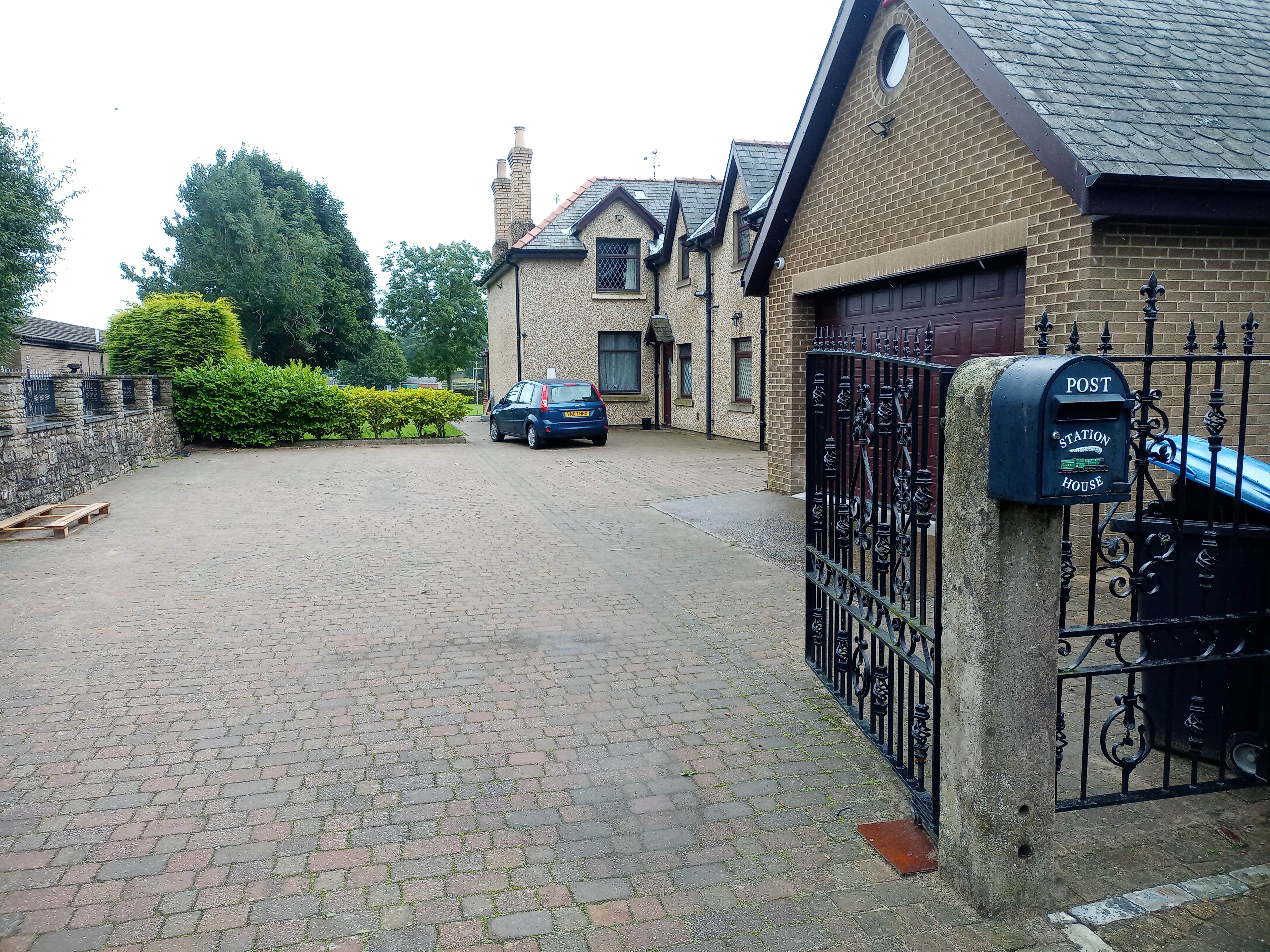
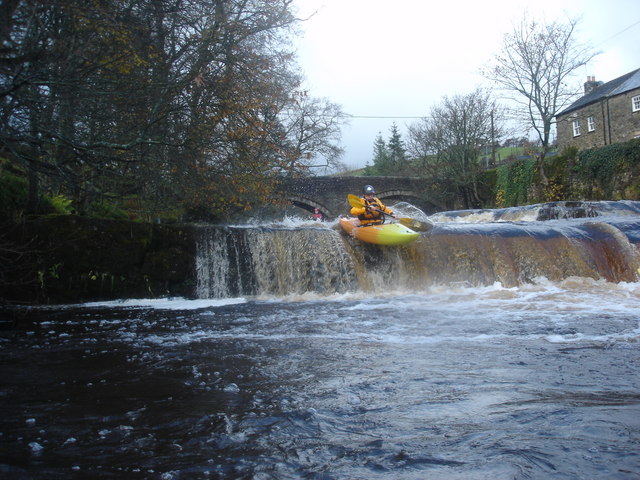
Carr Brow Moor Images
Images are sourced within 2km of 54.751222/-2.1710069 or Grid Reference NY8939. Thanks to Geograph Open Source API. All images are credited.


Carr Brow Moor is located at Grid Ref: NY8939 (Lat: 54.751222, Lng: -2.1710069)
Unitary Authority: County Durham
Police Authority: Durham
What 3 Words
///hobbit.sushi.rolled. Near Stanhope, Co. Durham
Nearby Locations
Related Wikis

East Blackdene
East Blackdene is a hamlet in the civil parish of Stanhope, in County Durham, England. It is situated to the north of the River Wear, on the opposite side...
St John's Chapel railway station
St John's Chapel railway station served the village of St John's Chapel, County Durham, England, from 1895 to 1965 on the Weardale Railway. == History... ==

Slit Woods
Slitt Woods is a Site of Special Scientific Interest in the Wear Valley district of County Durham, England. It occupies the valley of Middlehope Burn,...

St John's Chapel, County Durham
St John's Chapel is a village in the civil parish of Stanhope, in County Durham, England. It is situated in Weardale, on the south side of the River Wear...

Daddry Shield
Daddry Shield is a village in the civil parish of Stanhope, in County Durham, England. It is situated on the south side of the River Wear in Weardale,...

West Rigg Open Cutting
West Rigg Open Cutting is a Site of Special Scientific Interest in the Wear Valley district of west County Durham, England. It is a disused ironstone...

Westgate Methodist Chapel
Westgate Methodist Chapel stands on the A689 road in the village of Westgate, some 5 miles (8 km) west of Stanhope, County Durham, England (grid reference...
West Blackdene
West Blackdene is a village in the civil parish of Stanhope, in County Durham, England. It is situated to the north of the River Wear, opposite Ireshopeburn...
Nearby Amenities
Located within 500m of 54.751222,-2.1710069Have you been to Carr Brow Moor?
Leave your review of Carr Brow Moor below (or comments, questions and feedback).