Barnett Hill
Hill, Mountain in Worcestershire Wyre Forest
England
Barnett Hill
Barnett Hill is a prominent hill located in Worcestershire, England. Standing at an elevation of approximately 1,017 feet (310 meters), it is a notable feature in the county's landscape. The hill is part of the larger Malvern Hills range, which stretches across Worcestershire and Herefordshire.
Barnett Hill is known for its picturesque views, offering visitors stunning vistas of the surrounding countryside. On a clear day, one can see as far as the Cotswolds and the Welsh border. The hill is covered with lush greenery, including grasslands, woodlands, and patches of heather, providing a diverse habitat for various wildlife species.
The area around Barnett Hill is popular among outdoor enthusiasts, as it offers fantastic opportunities for hiking and exploring nature. There are several trails that lead up the hill, allowing visitors to enjoy a challenging yet rewarding climb. Along the way, walkers can appreciate the natural beauty of the region and observe the rich flora and fauna.
In addition to its natural attractions, Barnett Hill also has historical significance. It is believed that the hill was once used as a burial ground during the Neolithic period, with several ancient burial mounds discovered in the vicinity. The hill has also been mentioned in various literary works, including poems by William Wordsworth and Alfred, Lord Tennyson.
Overall, Barnett Hill is a cherished natural landmark in Worcestershire, offering visitors a chance to immerse themselves in the beauty of the English countryside while enjoying its historical and ecological treasures.
If you have any feedback on the listing, please let us know in the comments section below.
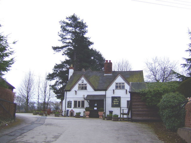
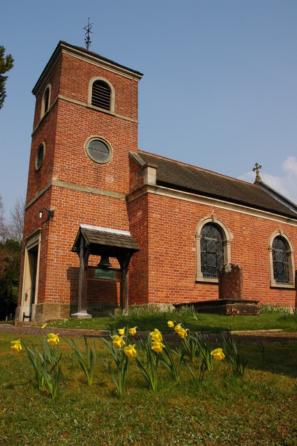
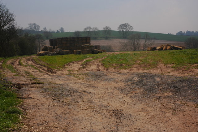
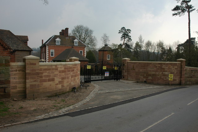
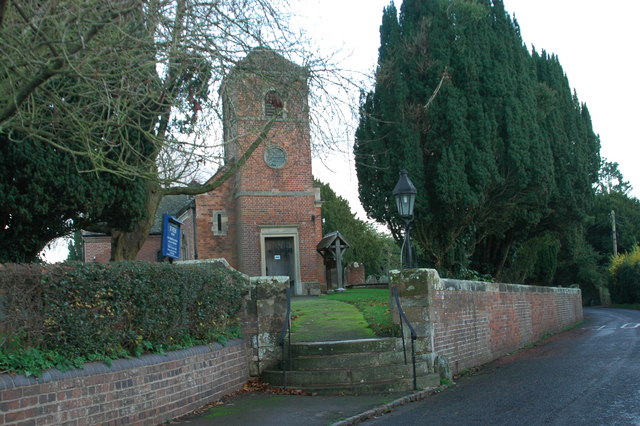
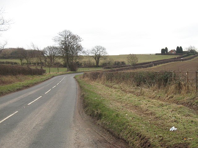
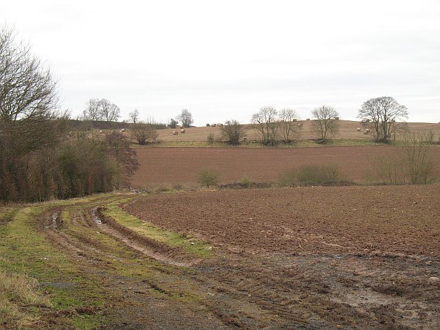
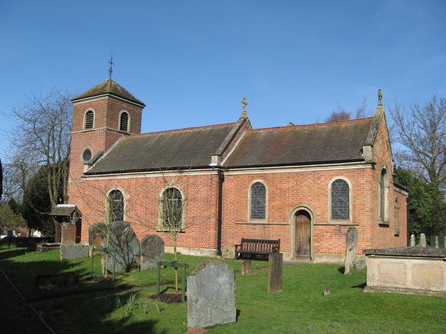
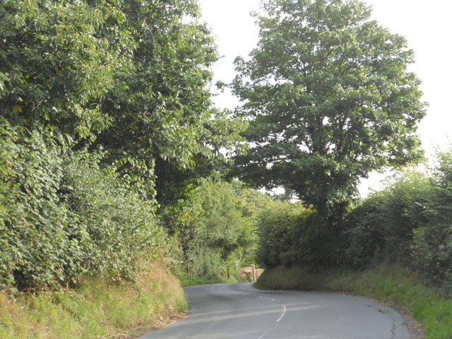
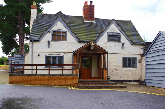
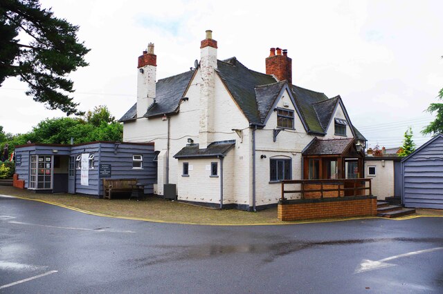
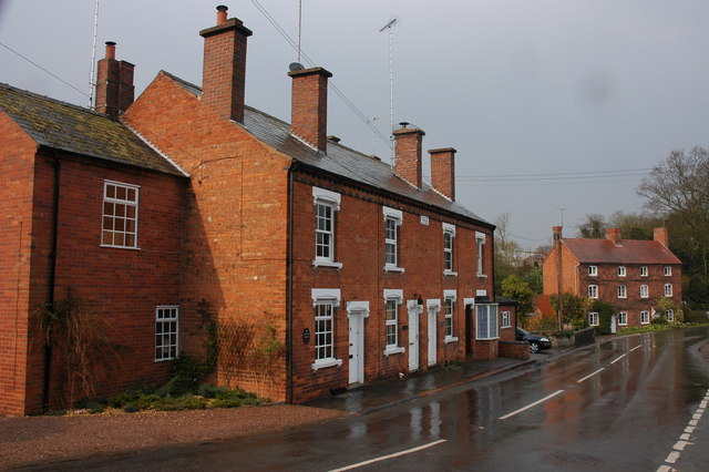
Barnett Hill Images
Images are sourced within 2km of 52.391099/-2.163388 or Grid Reference SO8877. Thanks to Geograph Open Source API. All images are credited.


Barnett Hill is located at Grid Ref: SO8877 (Lat: 52.391099, Lng: -2.163388)
Administrative County: Worcestershire
District: Wyre Forest
Police Authority: West Mercia
What 3 Words
///nickname.unusable.doors. Near Belbroughton, Worcestershire
Nearby Locations
Related Wikis

Hackmans Gate
Hackmans Gate is a hamlet in the parish of Broome, and the district of Wyre Forest District of Worcestershire, England.

Blakedown
Blakedown is a village in the Wyre Forest District lying along the A456 in the north of the county of Worcestershire, England. Following enclosures and...
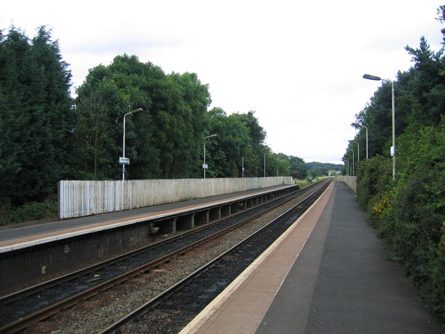
Blakedown railway station
Blakedown railway station serves the English village of Blakedown, Worcestershire. It was opened as Churchill in 1852, later becoming known for a time...

Broome, Worcestershire
Broome is a village and civil parish in the Wyre Forest District of Worcestershire, England. According to the 2001 census it had a population of 338. The...
Drayton, Worcestershire
Drayton is a hamlet in Worcestershire, England which remains part of the ecclesiastical parish of Chaddesley Corbett, which from its select vestry formed...
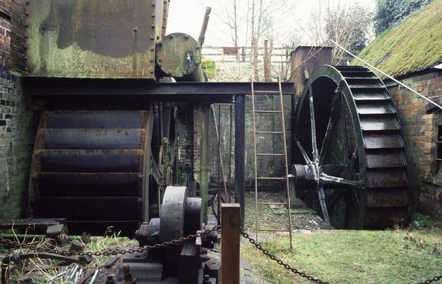
Churchill Forge Mill
Churchill Forge Mill, situated in the Worcestershire village of Churchill, is one of the last water-powered forge mills remaining in an intact state in...

Churchill, Wyre Forest
Churchill is a village and former civil parish, now in the parish of Churchill and Blakedown, in the Wyre Forest district of Worcestershire, England. It...

King's Norton and Northfield Urban District
King's Norton and Northfield Urban District was a local government administrative district in north Worcestershire, England, from 1898 until 1911. Much...
Nearby Amenities
Located within 500m of 52.391099,-2.163388Have you been to Barnett Hill?
Leave your review of Barnett Hill below (or comments, questions and feedback).