Knoll Hill
Hill, Mountain in Worcestershire Wyre Forest
England
Knoll Hill
Knoll Hill is a prominent hill located in Worcestershire, England. Situated approximately 5 miles northwest of the city of Worcester, it forms part of the Malvern Hills range, offering breathtaking panoramic views of the surrounding countryside.
Rising to an elevation of 363 meters (1,191 feet), Knoll Hill is often referred to as a mountain due to its significant height. It is characterized by its distinctive conical shape, covered in lush green vegetation that transforms into a vibrant display of autumnal colors during the fall season.
The hill is a popular destination for hikers, nature enthusiasts, and photographers, who are drawn to its natural beauty and serene atmosphere. Numerous footpaths and trails crisscross the hill, allowing visitors to explore its diverse flora and fauna. The summit provides an excellent vantage point from which to admire the picturesque Worcestershire landscape, with far-reaching views stretching as far as the nearby Malvern Hills, the Severn Valley, and even the Welsh mountains on clear days.
Knoll Hill is a designated Area of Outstanding Natural Beauty (AONB), showcasing its importance in preserving the region's natural heritage. It offers a haven for wildlife, including various bird species, butterflies, and small mammals. The hill's unique geological features also make it of interest to geologists, as it boasts exposed rock formations dating back millions of years.
Overall, Knoll Hill in Worcestershire stands as a magnificent natural landmark that captivates visitors with its beauty, tranquility, and stunning vistas, making it a must-visit destination for nature lovers and outdoor enthusiasts alike.
If you have any feedback on the listing, please let us know in the comments section below.
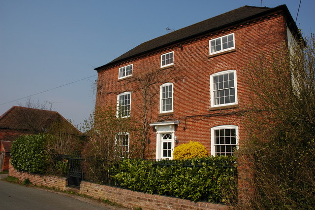
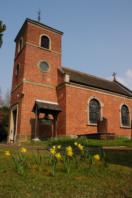
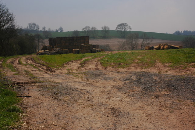
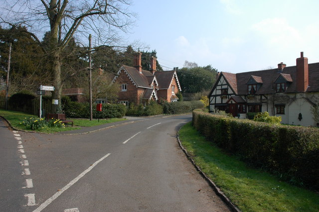
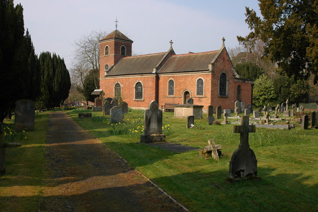
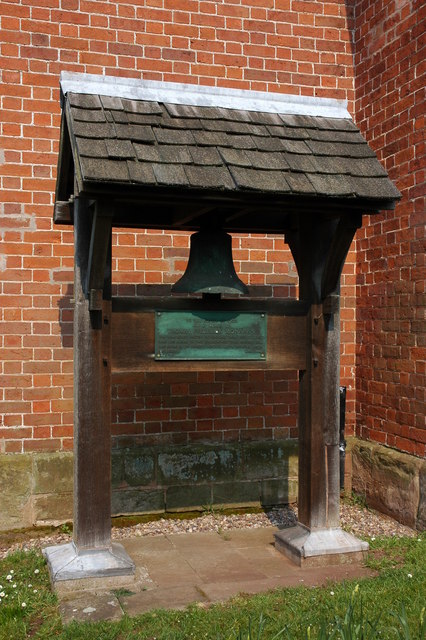
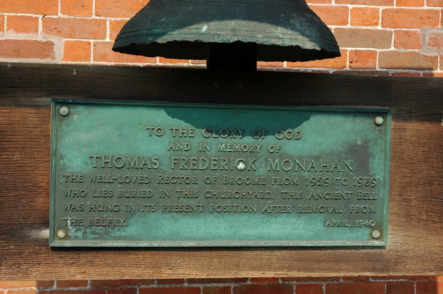
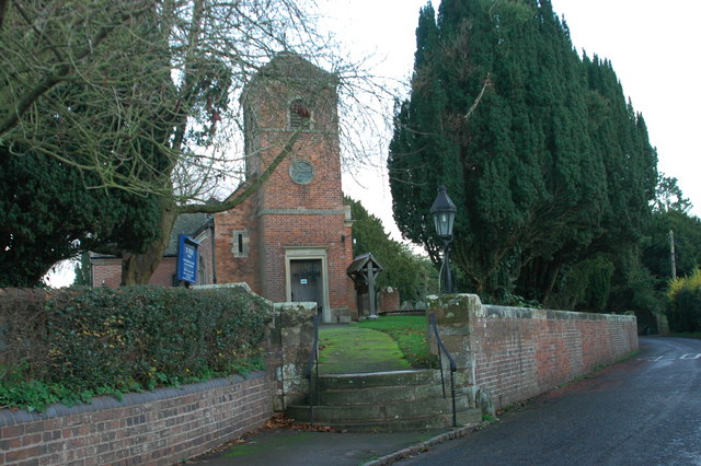
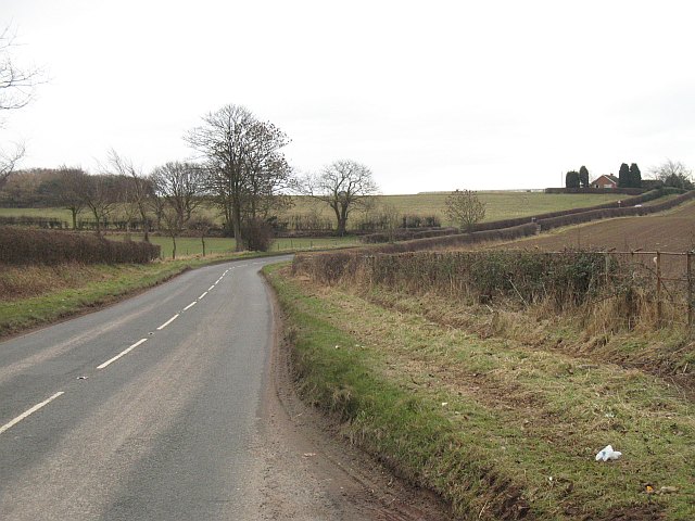
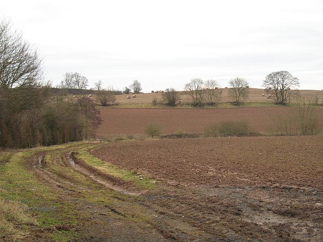
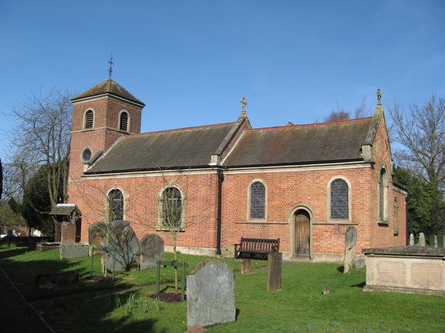
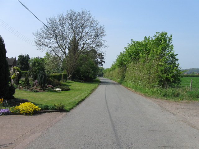
Knoll Hill Images
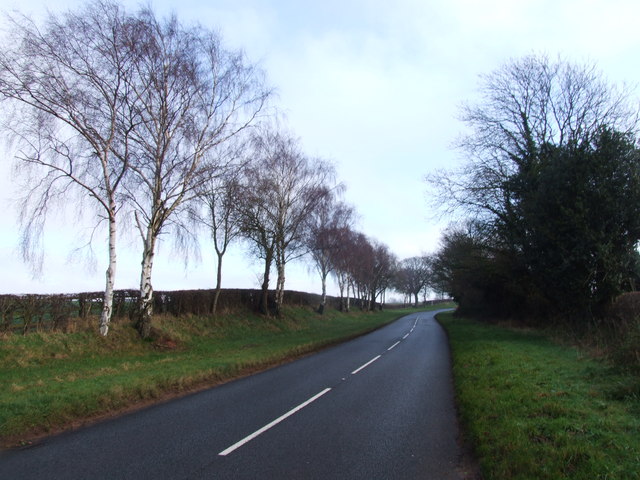
Images are sourced within 2km of 52.39973/-2.1635375 or Grid Reference SO8877. Thanks to Geograph Open Source API. All images are credited.


Knoll Hill is located at Grid Ref: SO8877 (Lat: 52.39973, Lng: -2.1635375)
Administrative County: Worcestershire
District: Wyre Forest
Police Authority: West Mercia
What 3 Words
///catapult.important.sang. Near Belbroughton, Worcestershire
Nearby Locations
Related Wikis

Hackmans Gate
Hackmans Gate is a hamlet in the parish of Broome, and the district of Wyre Forest District of Worcestershire, England.
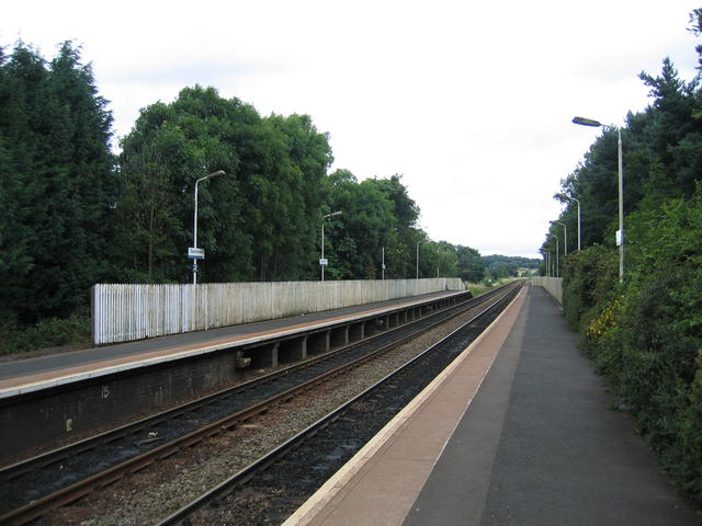
Blakedown railway station
Blakedown railway station serves the English village of Blakedown, Worcestershire. It was opened as Churchill in 1852, later becoming known for a time...

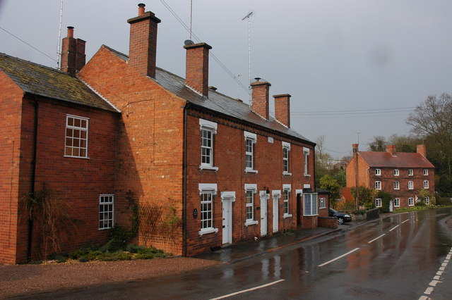
Blakedown
Blakedown is a village in the Wyre Forest District lying along the A456 in the north of the county of Worcestershire, England. Following enclosures and...

Broome, Worcestershire
Broome is a village and civil parish in the Wyre Forest District of Worcestershire, England. According to the 2001 census it had a population of 338. The...
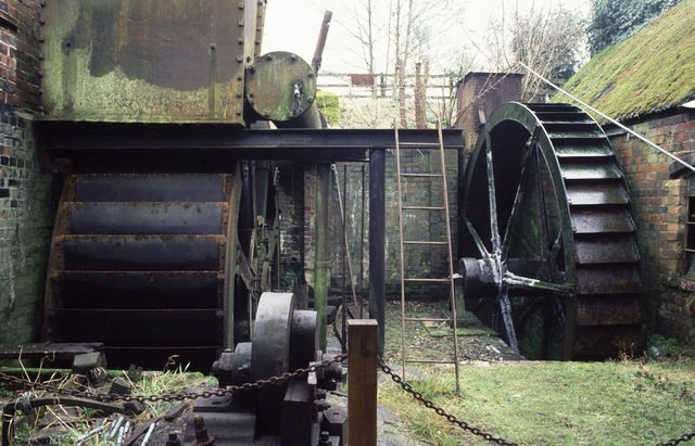
Churchill Forge Mill
Churchill Forge Mill, situated in the Worcestershire village of Churchill, is one of the last water-powered forge mills remaining in an intact state in...

King's Norton and Northfield Urban District
King's Norton and Northfield Urban District was a local government administrative district in north Worcestershire, England, from 1898 until 1911. Much...

Churchill, Wyre Forest
Churchill is a village and former civil parish, now in the parish of Churchill and Blakedown, in the Wyre Forest district of Worcestershire, England. It...
Drayton, Worcestershire
Drayton is a hamlet in Worcestershire, England which remains part of the ecclesiastical parish of Chaddesley Corbett, which from its select vestry formed...
Nearby Amenities
Located within 500m of 52.39973,-2.1635375Have you been to Knoll Hill?
Leave your review of Knoll Hill below (or comments, questions and feedback).