Miry Hill
Hill, Mountain in Yorkshire Craven
England
Miry Hill
Miry Hill is a small hill located in Yorkshire, England. Situated in the northwestern part of the county, it is a prominent feature of the landscape in this region. The hill is known for its muddy and marshy terrain, which led to its name, as "miry" means muddy or boggy.
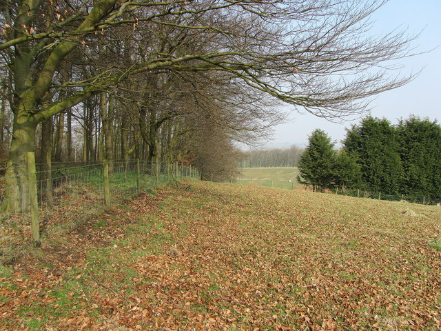
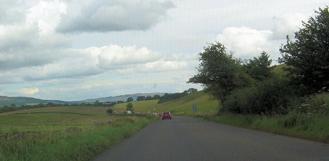
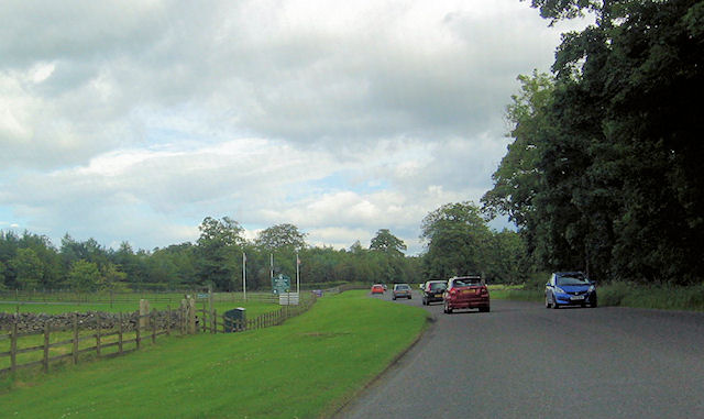
With an elevation of approximately 200 meters, Miry Hill is not particularly tall, but it offers breathtaking views of the surrounding countryside. It is covered in lush green grass and dotted with scattered trees, creating a picturesque scene. The hill is also home to a variety of wildlife, including birds, rabbits, and foxes.
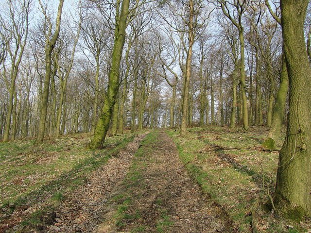
Miry Hill is a popular destination for outdoor enthusiasts and nature lovers. Its muddy terrain provides an excellent opportunity for hiking and walking, although appropriate footwear is recommended. Many visitors enjoy exploring the hill's trails and pathways, immersing themselves in the tranquil beauty of the surrounding nature.
In addition to its natural beauty, Miry Hill holds historical significance. It is believed to have been used as a defensive site during ancient times, possibly during the Roman era. Archaeological finds have included pottery fragments and other artifacts, suggesting human activity in the area centuries ago.
Overall, Miry Hill is a charming and scenic location that offers a peaceful escape from the hustle and bustle of everyday life. Whether it's for a leisurely walk, birdwatching, or a glimpse into the past, this hill provides a unique experience for visitors of all ages.
If you have any feedback on the listing, please let us know in the comments section below.
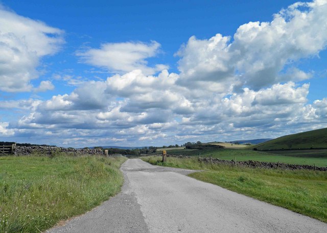
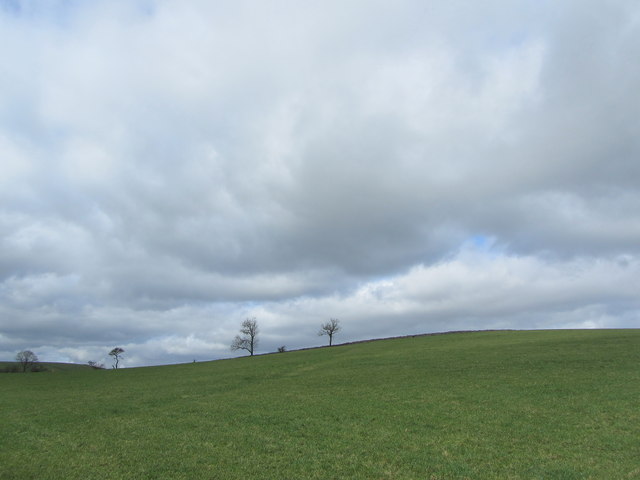
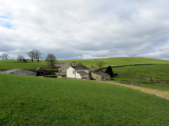
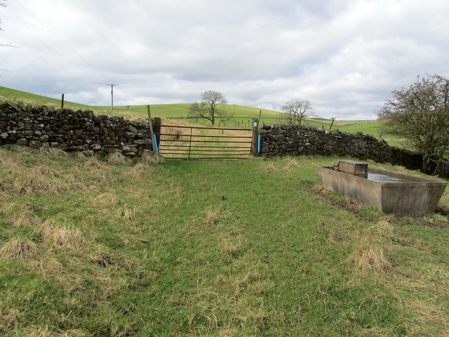
Miry Hill Images
Images are sourced within 2km of 53.994168/-2.1694713 or Grid Reference SD8855. Thanks to Geograph Open Source API. All images are credited.
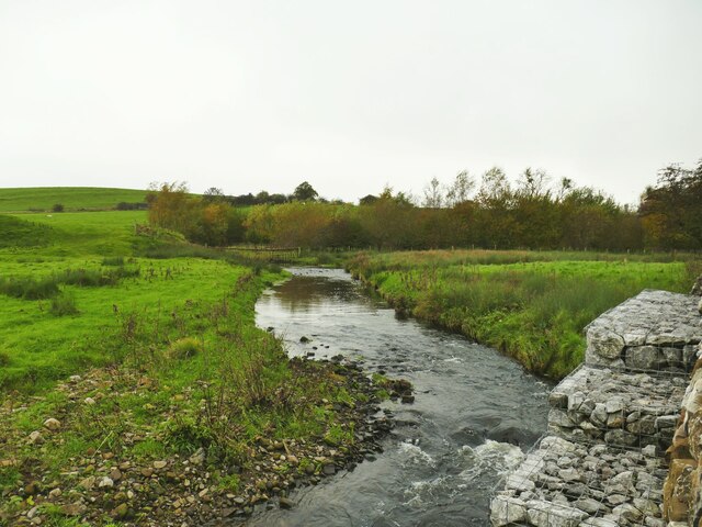
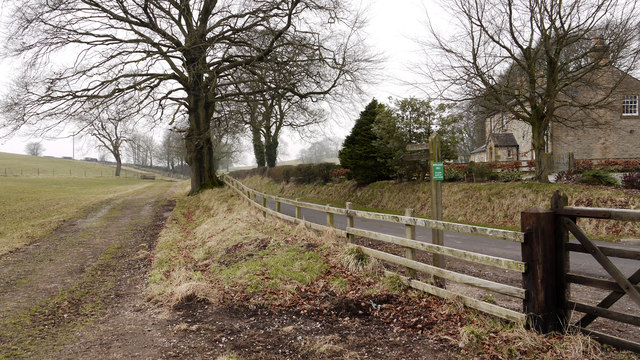
![Marsh by the road to Otterburn The parish boundary between Coniston Cold and Otterburn passes through this marsh (indeed the 1909 map indicates the boundary being 'C[entre of] Marsh') and it may therefore mark a previous course of Otterburn Beck.](https://s3.geograph.org.uk/geophotos/07/64/02/7640215_9135d7ac.jpg)

Miry Hill is located at Grid Ref: SD8855 (Lat: 53.994168, Lng: -2.1694713)
Division: West Riding
Administrative County: North Yorkshire
District: Craven
Police Authority: North Yorkshire
What 3 Words
///sprinkle.sling.ratio. Near Hellifield, North Yorkshire
Nearby Locations
Related Wikis

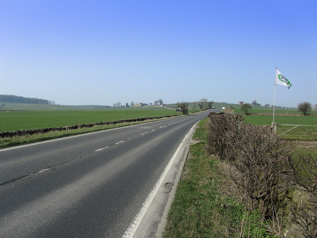
A65 road
The A65 is a major road in England. It runs north west from Leeds in West Yorkshire via Kirkstall, Horsforth, Yeadon, Guiseley, Ilkley and Skipton, west...

Aire Gap
Aire Gap is a pass through the Pennines in England formed by geologic faults and carved out by glaciers. The term is used to describe a geological division...

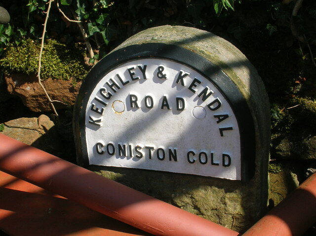
Coniston Cold
Coniston Cold is a village and civil parish in the Craven district of North Yorkshire, England. Historically part of the Staincliffe Wapentake of the West...

Bell Busk railway station
Bell Busk railway station served the hamlet of Bell Busk in North Yorkshire, England. It was located on the Leeds to Morecambe Line between Gargrave and...

Bell Busk
Bell Busk is a hamlet situated in the Craven district of North Yorkshire, England. The hamlet is located at the southern end of Malhamdale where the nascent...

Otterburn, North Yorkshire
Otterburn (historically known as Otterburn-in-Craven) is a village and civil parish in the Craven district of North Yorkshire, England. It is at OS Grid...

Bank Newton
Bank Newton is a small settlement and civil parish in the Craven district of North Yorkshire, England. According to the 2001 census the parish had a population...

Swinden
Swinden is a village in the civil parish of Hellifield, in North Yorkshire, England. It is near Halton West and Nappa and about 7 miles north of Barnoldswick...
Nearby Amenities
Located within 500m of 53.994168,-2.1694713Have you been to Miry Hill?
Leave your review of Miry Hill below (or comments, questions and feedback).