Harborough Hill
Hill, Mountain in Worcestershire Wyre Forest
England
Harborough Hill
Harborough Hill is a prominent geographical feature located in Worcestershire, England. Situated in the scenic Malvern Hills, it stands at an elevation of approximately 390 meters (1,280 feet) above sea level. This hill is well-known for its stunning panoramic views of the surrounding countryside, making it a popular destination for hikers, nature enthusiasts, and photographers.
The terrain of Harborough Hill is characterized by its undulating slopes, covered with lush green vegetation and occasional rocky outcrops. The hill is predominantly composed of ancient igneous rock, formed millions of years ago during volcanic activity in the region. This geological composition adds to the visual appeal of the landscape, creating a unique and diverse environment.
Harborough Hill is accessible via various footpaths and trails, making it easily reachable for outdoor enthusiasts. The area offers a range of recreational activities, such as hiking, walking, and bird-watching. The hill is home to a variety of wildlife, including deer, rabbits, and a plethora of bird species, providing ample opportunities for nature lovers to observe and appreciate the local fauna.
At the summit of Harborough Hill, visitors are rewarded with breathtaking vistas that stretch across the Worcestershire countryside. On a clear day, one can see as far as the nearby Malvern Hills, the Cotswolds, and even the Welsh Mountains in the distance. This panoramic view is particularly spectacular during sunrise or sunset, as the changing light paints the landscape with vibrant colors.
Overall, Harborough Hill is a picturesque and captivating natural landmark in Worcestershire, offering visitors a chance to immerse themselves in the beauty of the English countryside.
If you have any feedback on the listing, please let us know in the comments section below.
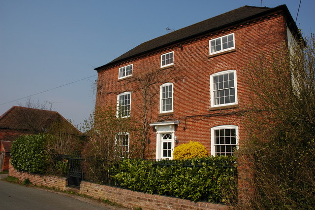
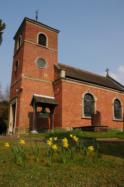
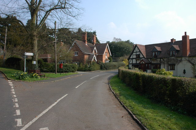
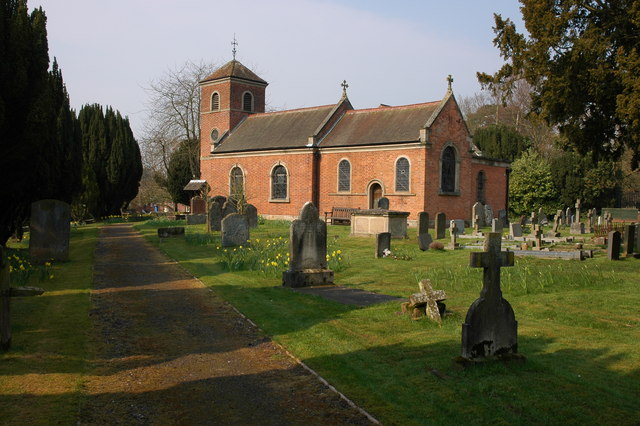
Harborough Hill Images
Images are sourced within 2km of 52.4104/-2.1641357 or Grid Reference SO8879. Thanks to Geograph Open Source API. All images are credited.


Harborough Hill is located at Grid Ref: SO8879 (Lat: 52.4104, Lng: -2.1641357)
Administrative County: Worcestershire
District: Wyre Forest
Police Authority: West Mercia
What 3 Words
///ulterior.blatantly.establish. Near Hagley, Worcestershire
Nearby Locations
Related Wikis

King's Norton and Northfield Urban District
King's Norton and Northfield Urban District was a local government administrative district in north Worcestershire, England, from 1898 until 1911. Much...
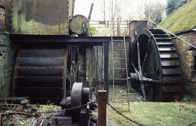
Churchill Forge Mill
Churchill Forge Mill, situated in the Worcestershire village of Churchill, is one of the last water-powered forge mills remaining in an intact state in...

Churchill, Wyre Forest
Churchill is a village and former civil parish, now in the parish of Churchill and Blakedown, in the Wyre Forest district of Worcestershire, England. It...
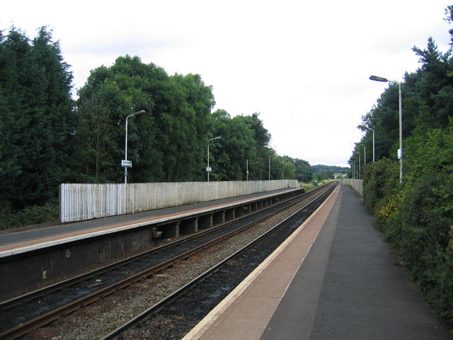
Blakedown railway station
Blakedown railway station serves the English village of Blakedown, Worcestershire. It was opened as Churchill in 1852, later becoming known for a time...

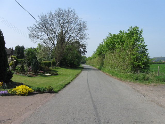
Blakedown
Blakedown is a village in the Wyre Forest District lying along the A456 in the north of the county of Worcestershire, England. Following enclosures and...

Hackmans Gate
Hackmans Gate is a hamlet in the parish of Broome, and the district of Wyre Forest District of Worcestershire, England.

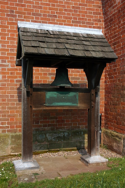
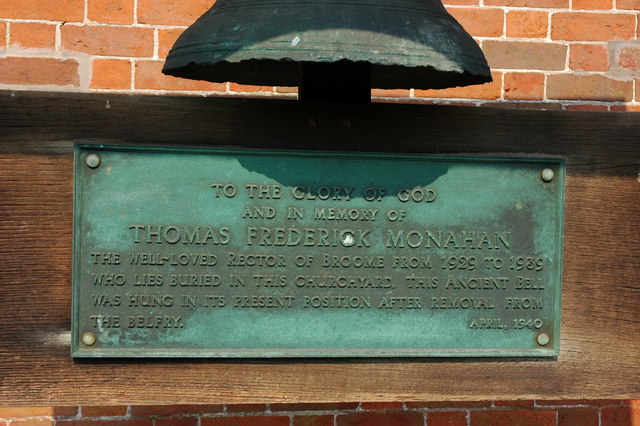
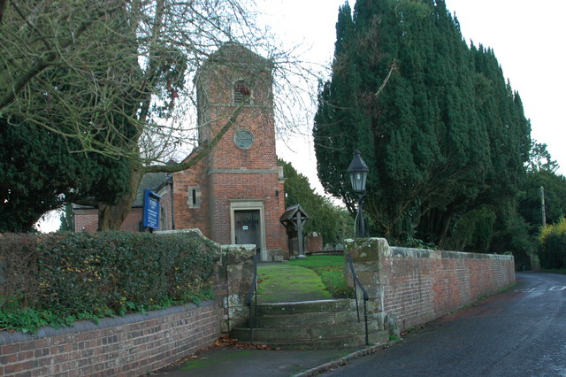
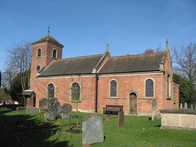
Broome, Worcestershire
Broome is a village and civil parish in the Wyre Forest District of Worcestershire, England. According to the 2001 census it had a population of 338. The...
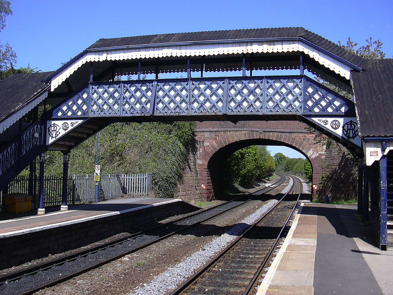
Hagley railway station
Hagley railway station serves the English village of Hagley, Worcestershire. Trains call in each direction, running to or through Kidderminster westwards...
Nearby Amenities
Located within 500m of 52.4104,-2.1641357Have you been to Harborough Hill?
Leave your review of Harborough Hill below (or comments, questions and feedback).