Stakenbridge
Settlement in Worcestershire Wyre Forest
England
Stakenbridge
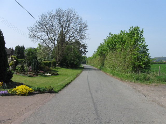
Stakenbridge is a small village located in the county of Worcestershire, England. Situated approximately 5 miles southeast of the town of Bromsgrove, it is nestled amidst picturesque countryside and is surrounded by lush green fields and rolling hills.
The village is characterized by its charming rural atmosphere and tranquil surroundings. It is home to a tight-knit community of around 500 residents who enjoy a peaceful and close-knit lifestyle. Stakenbridge boasts a rich history, with references to the village dating back to the Domesday Book of 1086.
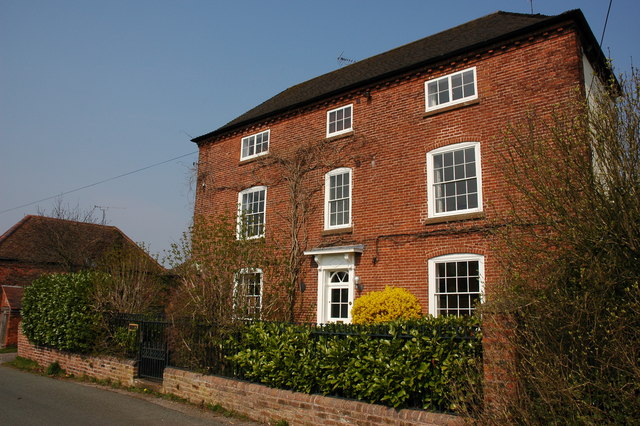
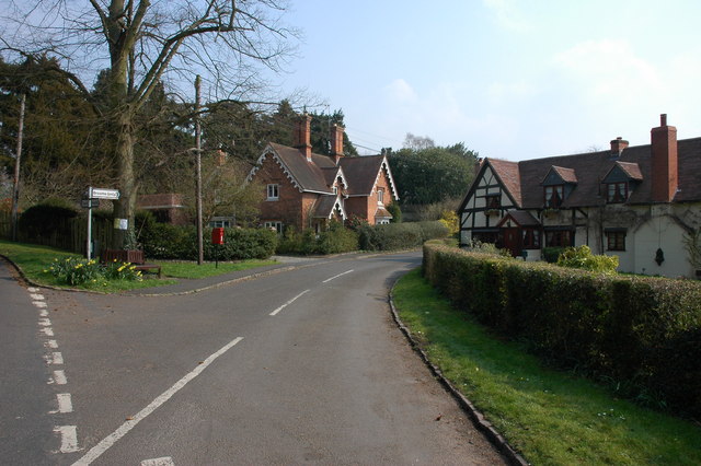
The heart of Stakenbridge is its village center, which features a few local amenities including a traditional pub, a village hall, and a small convenience store. The village is primarily residential, with a mix of old cottages and newer houses, all contributing to its unique character and charm.
Stakenbridge is well-positioned for those who appreciate outdoor activities, with numerous footpaths and bridleways crisscrossing the surrounding countryside, providing ample opportunities for walking, cycling, and horse riding. The nearby Lickey Hills Country Park is a popular destination among locals and visitors alike, offering stunning views, woodland walks, and picnic spots.
Although Stakenbridge may be small in size, it benefits from its proximity to larger towns and cities. The nearby town of Bromsgrove offers a wider range of amenities, including supermarkets, shops, and leisure facilities. Additionally, Stakenbridge benefits from good transport links, with the M5 motorway just a short drive away, providing easy access to Birmingham and Worcester.
Overall, Stakenbridge is a quiet and idyllic village that appeals to those seeking a peaceful and rural lifestyle, while still offering convenient access to nearby towns and cities.
If you have any feedback on the listing, please let us know in the comments section below.
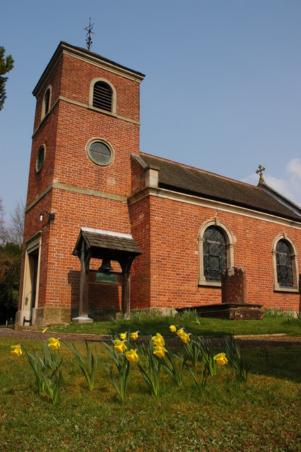
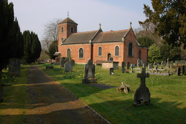
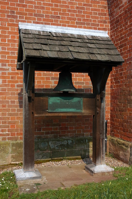
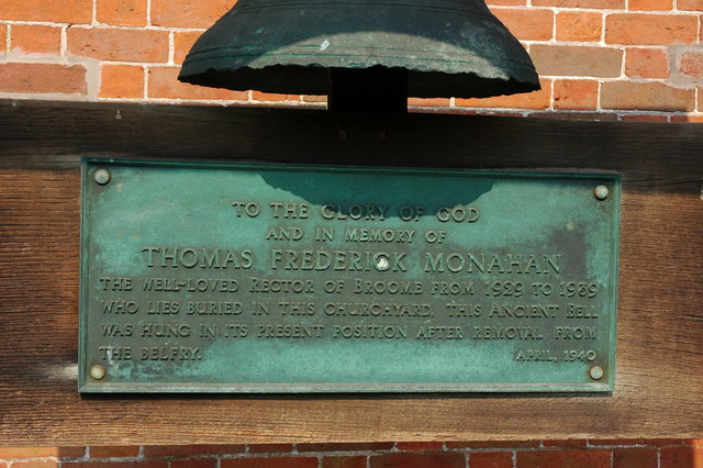
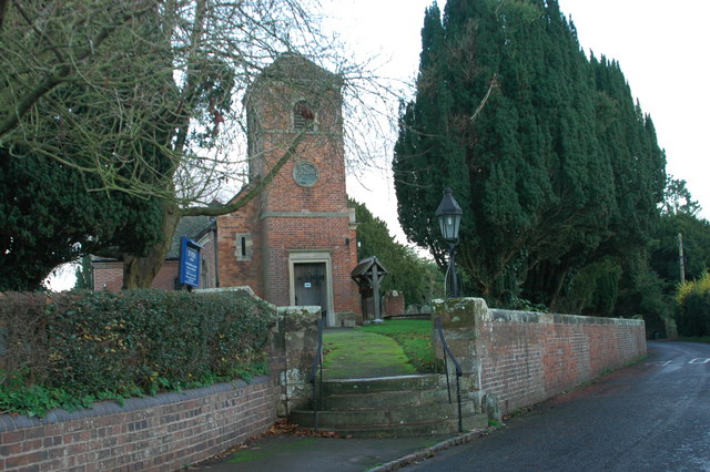
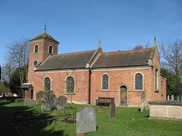
Stakenbridge Images
Images are sourced within 2km of 52.413112/-2.164073 or Grid Reference SO8879. Thanks to Geograph Open Source API. All images are credited.


Stakenbridge is located at Grid Ref: SO8879 (Lat: 52.413112, Lng: -2.164073)
Administrative County: Worcestershire
District: Wyre Forest
Police Authority: West Mercia
What 3 Words
///cherubs.prefect.gossiped. Near Hagley, Worcestershire
Nearby Locations
Related Wikis

King's Norton and Northfield Urban District
King's Norton and Northfield Urban District was a local government administrative district in north Worcestershire, England, from 1898 until 1911. Much...
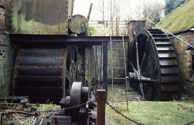
Churchill Forge Mill
Churchill Forge Mill, situated in the Worcestershire village of Churchill, is one of the last water-powered forge mills remaining in an intact state in...

Churchill, Wyre Forest
Churchill is a village and former civil parish, now in the parish of Churchill and Blakedown, in the Wyre Forest district of Worcestershire, England. It...
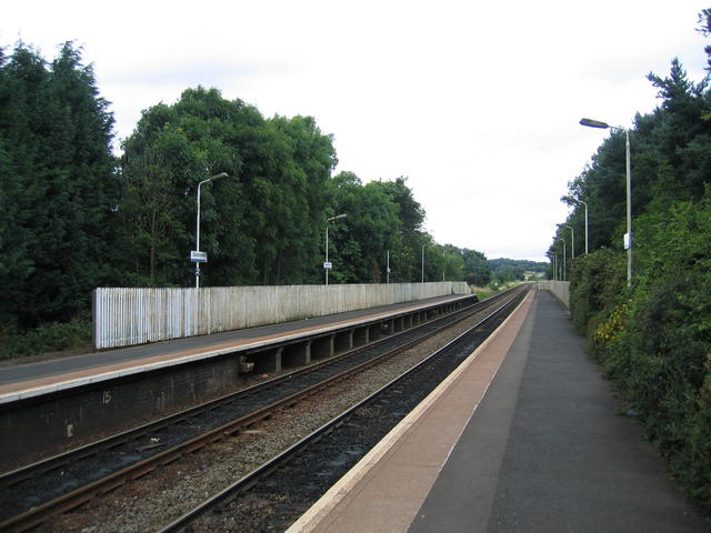
Blakedown railway station
Blakedown railway station serves the English village of Blakedown, Worcestershire. It was opened as Churchill in 1852, later becoming known for a time...

Blakedown
Blakedown is a village in the Wyre Forest District lying along the A456 in the north of the county of Worcestershire, England. Following enclosures and...
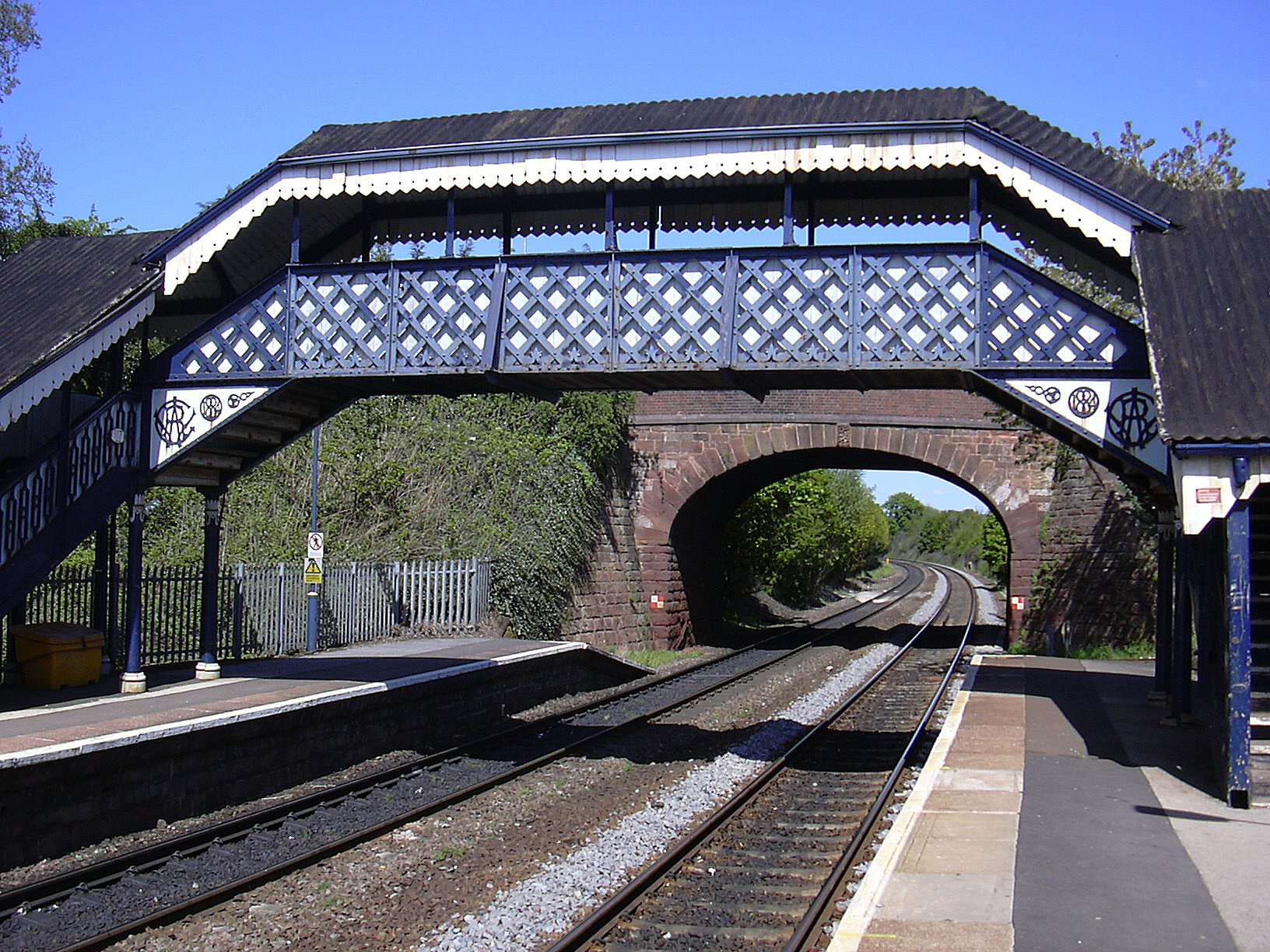
Hagley railway station
Hagley railway station serves the English village of Hagley, Worcestershire. Trains call in each direction, running to or through Kidderminster westwards...

Hagley Roman Catholic High School
Hagley Catholic High School is a coeducational school for ages 11–18 situated in the village of Hagley, Worcestershire, England. Currently a member of...
Haybridge High School
Haybridge High School and Sixth Form is an 11–18 mixed academy school with approximately 1,250 students (420 in the sixth form) in Hagley, Stourbridge...
Nearby Amenities
Located within 500m of 52.413112,-2.164073Have you been to Stakenbridge?
Leave your review of Stakenbridge below (or comments, questions and feedback).