South Field Hill

Hill, Mountain in Yorkshire Craven

England

South Field Hill

Lightning Tree on the Road to Otterburn Situated on the road from Airton to Otterburn.
Lightning Tree on the Road to Otterburn Credit: Andy Beecroft

South Field Hill is a prominent hill located in the county of Yorkshire, England. Situated in the southern part of the region, it is a well-known landmark in the area.

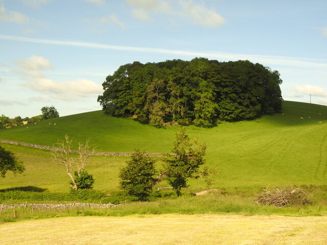
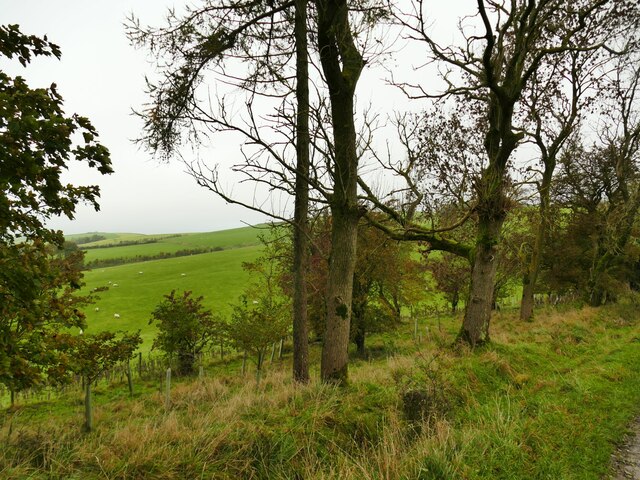
Rising to an elevation of approximately 330 meters (1,082 feet), South Field Hill offers breathtaking views of the surrounding countryside. The hill is part of the wider Pennine range, which stretches across the northern part of England. Its location within this range contributes to its picturesque landscape, with rolling green hills and valleys adorning the area.

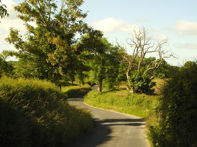
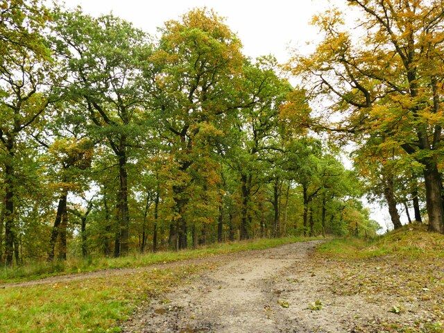
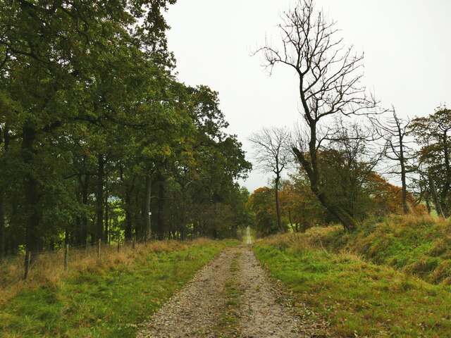
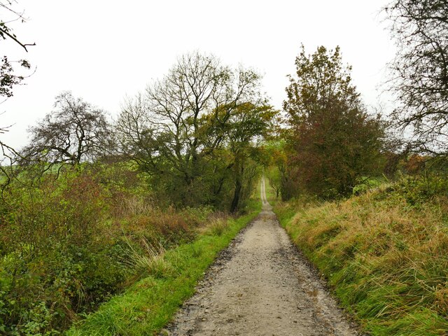
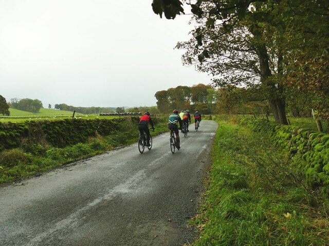
The hill is a popular destination for hikers, nature enthusiasts, and outdoor adventurers. It offers various walking trails that wind their way to the summit, providing visitors with an opportunity to explore the natural beauty of the region. The paths are well-maintained and suitable for individuals of different fitness levels.

At the peak of South Field Hill, there is a stone marker that signifies its summit. From this vantage point, on clear days, one can enjoy panoramic views of the surrounding countryside, including the nearby towns and villages nestled among the hills.

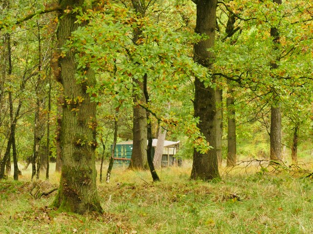
South Field Hill is also home to a diverse range of flora and fauna. The hillside is covered in heather and grasses, while birds such as skylarks and pheasants can often be spotted in the area. The hill serves as an important habitat for wildlife, contributing to the biodiversity of the region.

Overall, South Field Hill stands as a natural and scenic attraction in Yorkshire, offering visitors a chance to immerse themselves in the beauty of the English countryside.

If you have any feedback on the listing, please let us know in the comments section below.

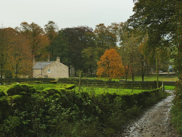
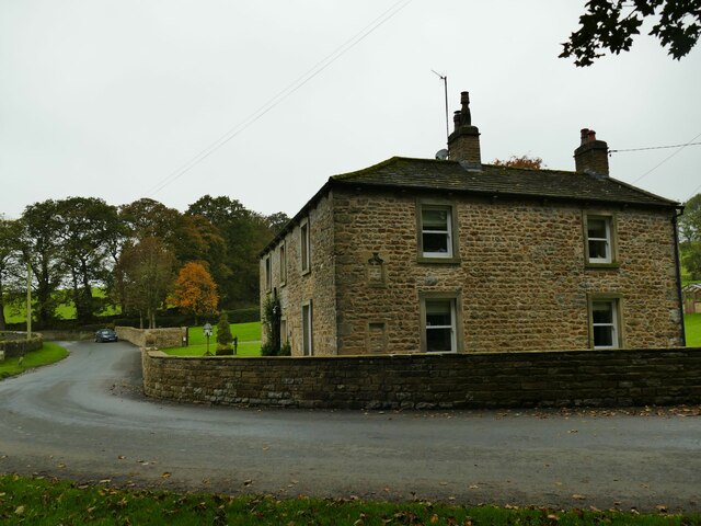
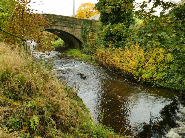
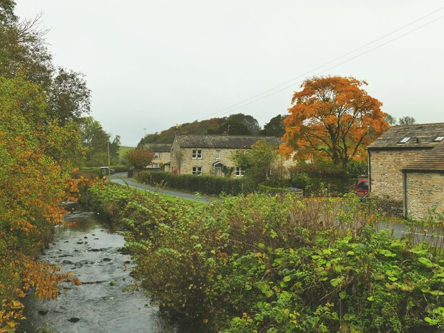
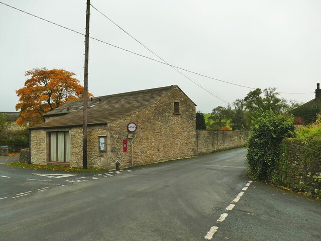
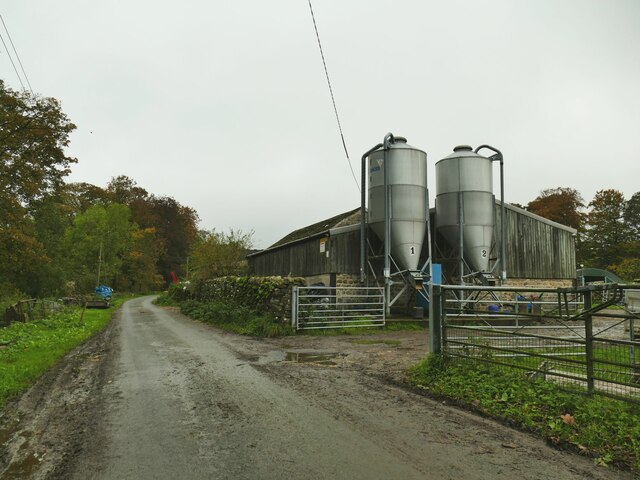
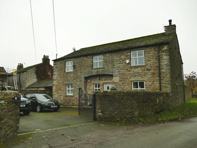
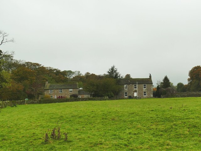
South Field Hill Images

Images are sourced within 2km of 54.008036/-2.1761956 or Grid Reference SD8856. Thanks to Geograph Open Source API. All images are credited.

Lightning Tree on the Road to Otterburn Situated on the road from Airton to Otterburn.
Lightning Tree on the Road to Otterburn
Situated on the road from Airton to Otterburn.
Hillside Copse near Otterburn
Ford and Cat at Kirk Syke Farm This ford is found on Kirk Syke Lane. Another image when the ford was not so dry can be viewed at:
<a title="https://www.geograph.org.uk/photo/2838230" href="https://www.geograph.org.uk/photo/2838230">Link</a>
Ford and Cat at Kirk Syke Farm
This ford is found on Kirk Syke Lane. Another image when the ford was not so dry can be viewed at: Link
Path junction on Dacre Lane Dacre Lane, bending right here towards Otterburn village, is a public footpath. To the left is a private road into Crook Beck Plantation.
Path junction on Dacre Lane
Dacre Lane, bending right here towards Otterburn village, is a public footpath. To the left is a private road into Crook Beck Plantation.
Hut in the woods below Tranlinber Seen from the public footpath (Dacre Lane).
Hut in the woods below Tranlinber
Seen from the public footpath (Dacre Lane).
Looking down Dacre Lane The track is dead straight for 650 metres from this point.
Looking down Dacre Lane
The track is dead straight for 650 metres from this point.
View towards Crossber from Dacre Lane The post-glacial drumlins in this area are sheep pasture country.
View towards Crossber from Dacre Lane
The post-glacial drumlins in this area are sheep pasture country.
Dacre Lane, looking north-west Part of a long route linking Otterburn to Settle.
Dacre Lane, looking north-west
Part of a long route linking Otterburn to Settle.
Young oaks alongside Dacre Lane New oaks have been planted in among mature trees.
Young oaks alongside Dacre Lane
New oaks have been planted in among mature trees.
Dacre Lane, approaching Otterburn The end of a long route from Settle.
Dacre Lane, approaching Otterburn
The end of a long route from Settle.
House on a bend in Hellifield Road  My eye was caught by the small, blocked, arched opening between ground and first floor window levels. I wonder what that was for?
House on a bend in Hellifield Road
My eye was caught by the small, blocked, arched opening between ground and first floor window levels. I wonder what that was for?
Otterburn Bridge  The grade II listed bridge is dated to the late 18th or early 19th century. List entry 1132058.
Otterburn Bridge
The grade II listed bridge is dated to the late 18th or early 19th century. List entry 1132058.
View north along Otterburn Beck from the bridge The furthest of the three buildings in the photo is the Grade II listed Grove Farm.
View north along Otterburn Beck from the bridge
The furthest of the three buildings in the photo is the Grade II listed Grove Farm.
Hellifield Road out of Otterburn Note three pieces of street furniture: the road sign for a width restriction, the postbox in a wall, and the county marker (possibly relocated from the nearby bridge?) <a href="https://www.geograph.org.uk/photo/4669588">SD8857 : West Riding marker beside building at cross roads</a>. The building itself looks like an agricultural one converted to residential.
Hellifield Road out of Otterburn
Note three pieces of street furniture: the road sign for a width restriction, the postbox in a wall, and the county marker (possibly relocated from the nearby bridge?) SD8857 : West Riding marker beside building at cross roads. The building itself looks like an agricultural one converted to residential.
Cattle farm at Otterburn Hall A local website says 'Otterburn Hall Farm is a 170 hectare permanent grassland farm in Otterburn Village, bordering Otterburn Beck, with 850 breeding sheep and 40 beef cattle'. Some of the cattle could be heard in the shed here.
Cattle farm at Otterburn Hall
A local website says 'Otterburn Hall Farm is a 170 hectare permanent grassland farm in Otterburn Village, bordering Otterburn Beck, with 850 breeding sheep and 40 beef cattle'. Some of the cattle could be heard in the shed here.
Hall Barn, Otterburn A barn conversion at Otterburn Hall Farm.
Hall Barn, Otterburn
A barn conversion at Otterburn Hall Farm.
Otterburn Hall A cattle and sheep farm on the outskirts of the village. To the right is the grade II listed farmhouse (list entry 1316881) and to the left is a converted barn <a href="https://www.geograph.org.uk/photo/7640188">SD8857 : Hall Barn, Otterburn</a>.
Otterburn Hall
A cattle and sheep farm on the outskirts of the village. To the right is the grade II listed farmhouse (list entry 1316881) and to the left is a converted barn SD8857 : Hall Barn, Otterburn.
Cyclists on the road from Otterburn to Bell Busk One of three groups I saw within a few minutes - possibly all part of the same club ride.
Cyclists on the road from Otterburn to Bell Busk
One of three groups I saw within a few minutes - possibly all part of the same club ride.
Show me another place!

South Field Hill is located at Grid Ref: SD8856 (Lat: 54.008036, Lng: -2.1761956)

Division: West Riding

Administrative County: North Yorkshire

District: Craven

Police Authority: North Yorkshire

What 3 Words

///remaking.bounded.stems. Near Hellifield, North Yorkshire

Related Wikis

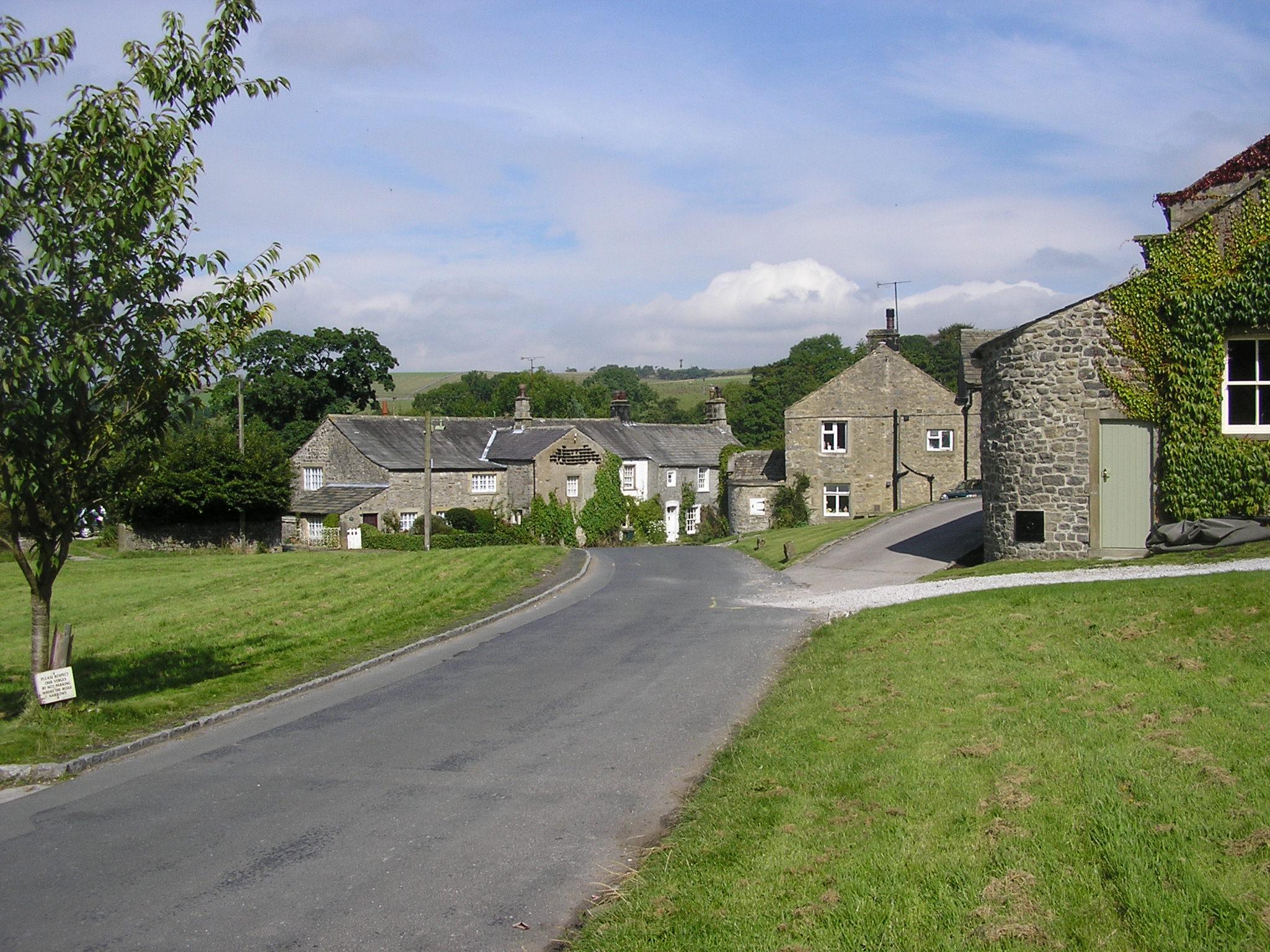
Otterburn, North Yorkshire

Otterburn (historically known as Otterburn-in-Craven) is a village and civil parish in the Craven district of North Yorkshire, England. It is at OS Grid...

Aire Gap

Aire Gap is a pass through the Pennines in England formed by geologic faults and carved out by glaciers. The term is used to describe a geological division...

Bell Busk railway station

Bell Busk railway station served the hamlet of Bell Busk in North Yorkshire, England. It was located on the Leeds to Morecambe Line between Gargrave and...

A65 road

The A65 is a major road in England. It runs north west from Leeds in West Yorkshire via Kirkstall, Horsforth, Yeadon, Guiseley, Ilkley and Skipton, west...

Bell Busk

Bell Busk is a hamlet situated in the Craven district of North Yorkshire, England. The hamlet is located at the southern end of Malhamdale where the nascent...

Coniston Cold

Coniston Cold is a village and civil parish in the Craven district of North Yorkshire, England. Historically part of the Staincliffe Wapentake of the West...

Newfield Hall

Newfield Hall is a former country house located 1 mile (1.6 km) to the southeast of the village of Airton, North Yorkshire, England. It is now a hotel...

Airton

Airton (also known as Airton-in-Craven) is a small village and civil parish in the Craven district of North Yorkshire, England, situated 10 miles (16 km...

Related Videos

Walking from Airton to Bell Busk, Otterburn and back in the Yorkshire Dales

Photos from a walk on 28 March 2018 in the Yorkshire Dales.

Khan on holiday

Skipton Coniston hotel.

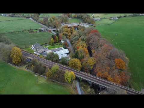
Dji Mini2 Drone in Coniston Cold The Yorkshire Dales.

Sunday Morning. Flying my DJI Mini 2 Drone above the car whilst my friend drove. This is the Yorkshire Dales near Skipton.

Dog joining in wedding dancing!

Coniston Hotel near Gargrave is dog friendly wedding venue which allows dogs on the dance floor as well as staying in one of the ...

Nearby Amenities

Located within 500m of 54.008036,-2.1761956
tumulus
Archaeological Site: tumulus
Historic: archaeological_site
Source: OS 1:25k
Lat/Long: 54.0091485/-2.1806142
barrow
Archaeological Site: tumulus
Historic: archaeological_site
Source: OS 1:25k;OS sheet 150,publ 1853
Lat/Long: 54.0064247/-2.1742627
South Field Hill
Ele Ft: 575
Is In Country Code: GB
Natural: peak
Source: OS 1:25k
Lat/Long: 54.0083162/-2.1761296
The data included in this document is from www.openstreetmap.org. The data is made available under ODbL.

Have you been to South Field Hill?

Leave your review of South Field Hill below (or comments, questions and feedback).