Compton Down
Hill, Mountain in Dorset
England
Compton Down
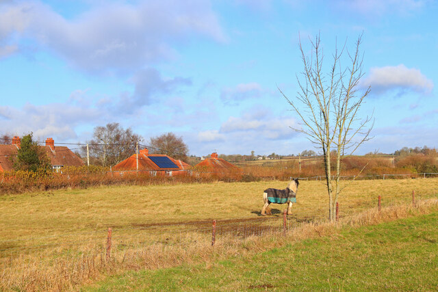
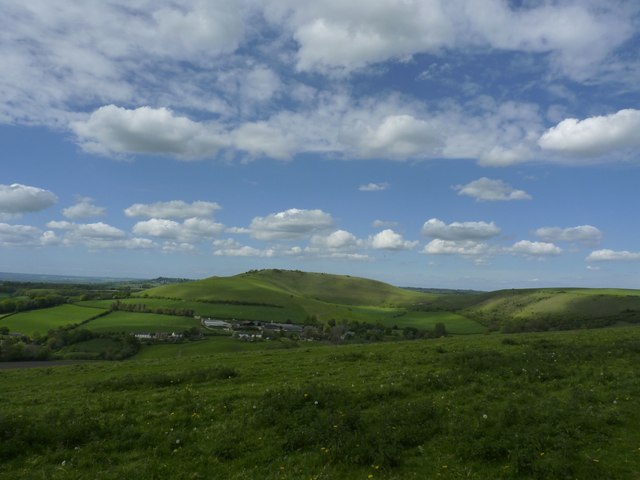
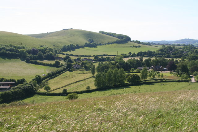
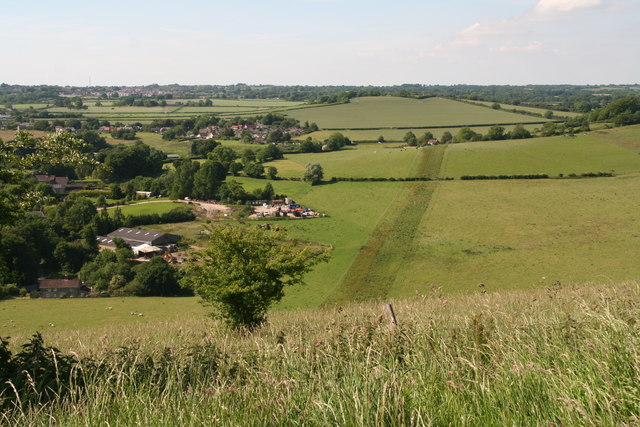
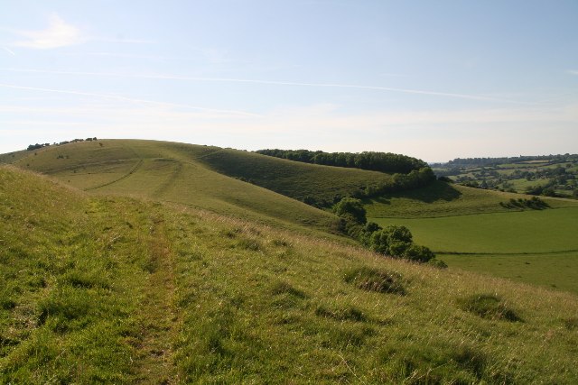
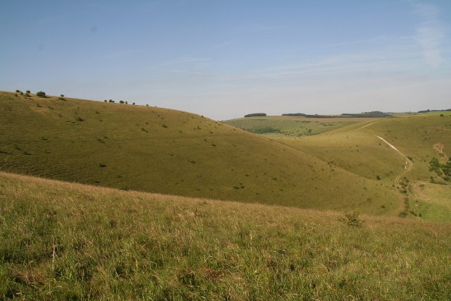
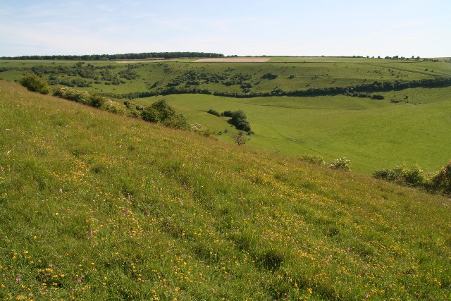
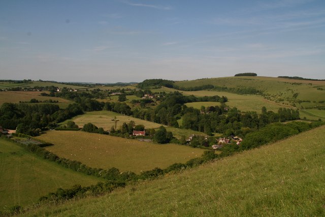
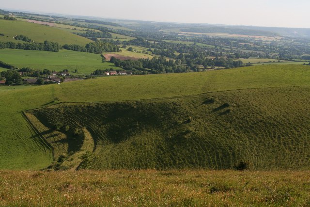
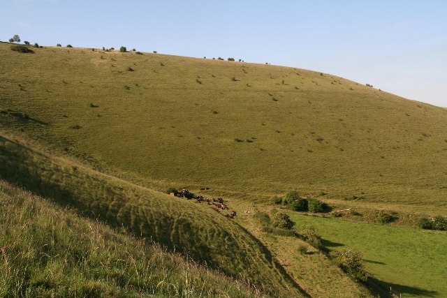
Compton Down is a prominent hill located in the county of Dorset, England. Situated near the village of Compton Abbas, it forms part of the larger Cranborne Chase Area of Outstanding Natural Beauty. Standing at an elevation of 268 meters (879 feet), it offers breathtaking panoramic views of the surrounding countryside.
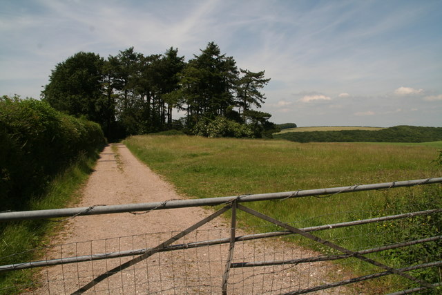
This hill is characterized by its gentle slopes and lush green vegetation, which make it a popular destination for nature enthusiasts and hikers. The area is known for its diverse flora and fauna, with a variety of wildflowers, butterflies, and bird species calling it home. Visitors can enjoy leisurely walks along the well-maintained footpaths that traverse the hill, taking in the picturesque landscapes along the way.
Compton Down also has a rich archaeological history, with evidence of human habitation dating back thousands of years. The hill is known to contain Iron Age hill forts, which were once defensive structures used by ancient communities. These historical sites add an extra layer of intrigue and fascination for those interested in the region's past.
For those seeking a more adventurous experience, Compton Down offers opportunities for paragliding and hang gliding, thanks to its favorable wind conditions and open spaces. These activities provide a unique perspective of the surrounding countryside, allowing participants to appreciate the hill's natural beauty from a different vantage point.
Overall, Compton Down is a cherished natural landmark in Dorset, offering stunning views, tranquil walks, and a glimpse into the area's intriguing past.
If you have any feedback on the listing, please let us know in the comments section below.
Compton Down Images
Images are sourced within 2km of 50.969968/-2.1644392 or Grid Reference ST8818. Thanks to Geograph Open Source API. All images are credited.


Compton Down is located at Grid Ref: ST8818 (Lat: 50.969968, Lng: -2.1644392)
Unitary Authority: Dorset
Police Authority: Dorset
What 3 Words
///police.breezy.outlawing. Near Shaftesbury, Dorset
Nearby Locations
Related Wikis

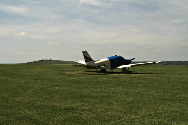
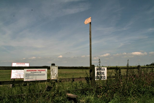
Compton Abbas Airfield
Compton Abbas Airfield (IATA: n/a, ICAO: EGHA) is a grass airstrip 2.7 NM (5.0 km; 3.1 mi) south of Shaftesbury, Dorset, England. Compton Abbas Aerodrome...

Melbury Abbas
Melbury Abbas is a village and civil parish in north Dorset, England, 3 km SSW of the town of Shaftesbury, east of the A350 Shaftesbury to Blandford Forum...

Melbury Down
Melbury Down is an area of downland in northern Dorset, England. It is owned by the National Trust. The chalk grassland here supports large butterfly populations...
Melbury Hill
Melbury Hill, whose summit is also called Melbury Beacon, is a prominent hill, 263 metres high, on the high chalk escarpment of the North Dorset Downs...
Nearby Amenities
Located within 500m of 50.969968,-2.1644392Have you been to Compton Down?
Leave your review of Compton Down below (or comments, questions and feedback).