Crawshaw Hill
Hill, Mountain in Lancashire Pendle
England
Crawshaw Hill
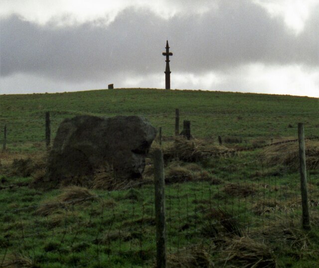
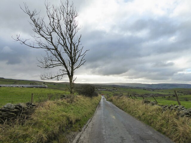
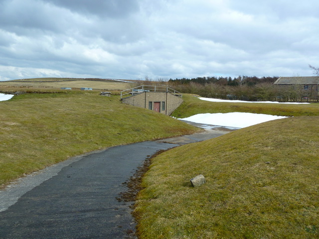
Crawshaw Hill, located in the county of Lancashire, England, is a prominent hill that forms part of the Pennine range. Standing at an elevation of approximately 1,312 feet (400 meters), it offers breathtaking views of the surrounding landscape. The hill is situated near the town of Cliviger, in the eastern part of Lancashire, and is a popular destination for hikers and nature enthusiasts.
Crawshaw Hill is characterized by its rugged and rocky terrain, covered in thick vegetation that includes grasses, heather, and shrubs. The hill is known for its distinct geological features, including exposed sandstone outcrops that attract geology enthusiasts. The hill's summit is marked by a trig point, providing a reference point for surveying and navigation.
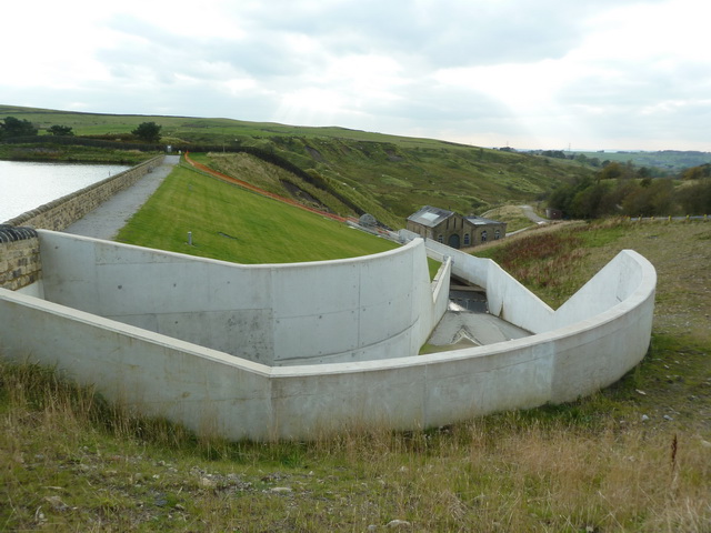
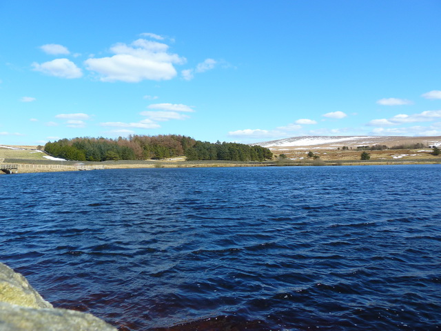
The area surrounding Crawshaw Hill is a designated Area of Outstanding Natural Beauty, offering a diverse range of flora and fauna. Visitors can spot various species of birds, such as grouse and kestrels, as well as mammals like hares and rabbits. The hill also boasts a rich history, with evidence of ancient settlements and Bronze Age burial mounds in the vicinity.
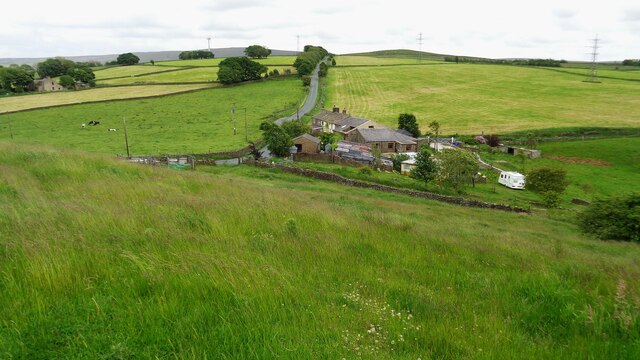
Access to Crawshaw Hill is facilitated by a network of footpaths and trails, making it easily reachable for walkers of all abilities. The hill is a popular spot for recreational activities such as walking, hiking, and picnicking. Its commanding position provides stunning panoramic views of the Lancashire countryside, making it a sought-after destination for visitors seeking solace in nature.
If you have any feedback on the listing, please let us know in the comments section below.
Crawshaw Hill Images
Images are sourced within 2km of 53.829998/-2.1755376 or Grid Reference SD8837. Thanks to Geograph Open Source API. All images are credited.


Crawshaw Hill is located at Grid Ref: SD8837 (Lat: 53.829998, Lng: -2.1755376)
Administrative County: Lancashire
District: Pendle
Police Authority: Lancashire
What 3 Words
///limes.caves.post. Near Nelson, Lancashire
Nearby Locations
Related Wikis

Castercliff
Castercliff is an Iron Age multivallate hillfort situated close to the towns of Nelson and Colne in Lancashire, Northern England. It is located on a hilltop...

Pendle Vale College
Pendle Vale College is a mixed 11 to 16 comprehensive school located in Nelson, Lancashire. == History == The school initially opened in 2006 as part of...
Ss John Fisher and Thomas More Roman Catholic High School
Ss John Fisher and Thomas More RC High School is a coeducational secondary school located in Colne in the English county of Lancashire. The school is named...
Bott Lane Halt railway station
Bott Lane Halt railway station was a station on the East Lancashire line between Nelson and Colne, in Lancashire, England. It was situated off Bott House...

Haggate
Haggate is a small village within the parish of Briercliffe, situated three miles north of Burnley, Lancashire. The village is mostly built around a small...
Colne Primet Academy
Colne Primet Academy (formerly Colne Primet High School) is a mixed secondary school located in Colne in the English county of Lancashire.Previously a...

Briercliffe
Briercliffe (historically Briercliffe-with-Extwistle) is a civil parish in the borough of Burnley, in Lancashire, England. It is situated 3 miles (4.8...

Pendle (UK Parliament constituency)
Pendle is a constituency in Lancashire represented in the House of Commons of the UK Parliament since 2010 by Andrew Stephenson, a Conservative. The constituency...
Nearby Amenities
Located within 500m of 53.829998,-2.1755376Have you been to Crawshaw Hill?
Leave your review of Crawshaw Hill below (or comments, questions and feedback).