Barn Hill
Hill, Mountain in Kincardineshire
Scotland
Barn Hill
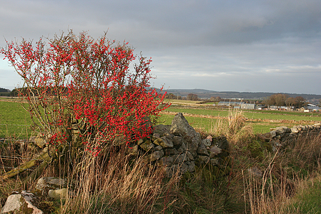
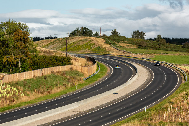
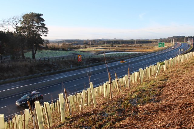
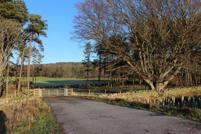
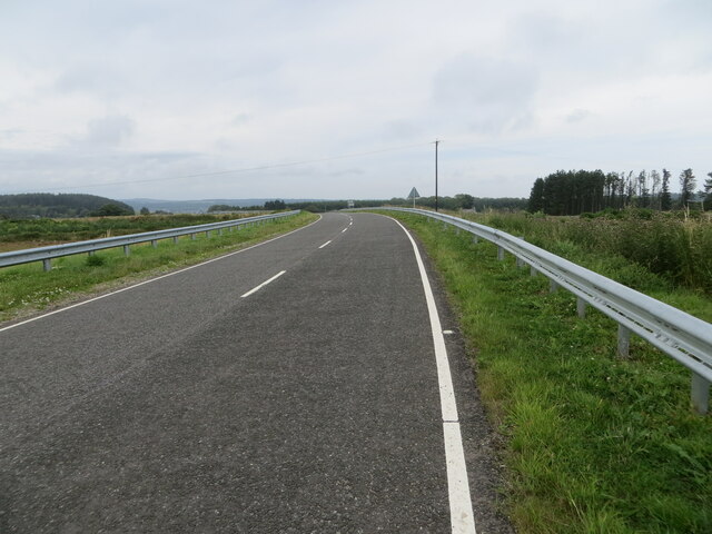
Barn Hill, located in Kincardineshire, Scotland, is a prominent hill/mountain that offers breathtaking views and an abundance of natural beauty. Standing at an elevation of approximately 815 feet (248 meters), it is a popular destination for nature lovers, hikers, and outdoor enthusiasts.
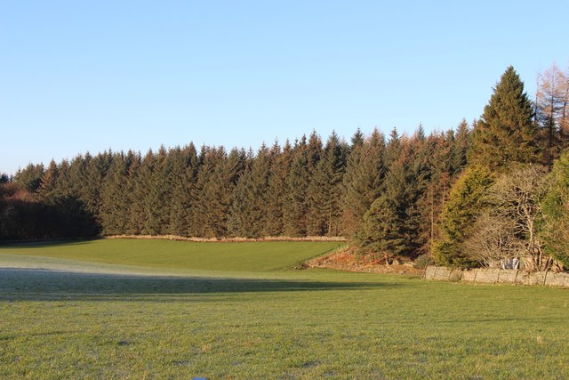
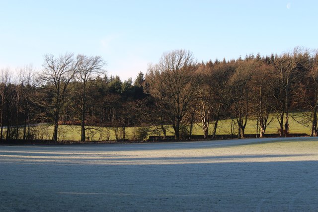
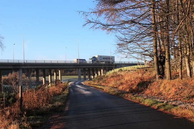
The hill is characterized by its gentle slopes and lush greenery, making it an ideal spot for leisurely walks or challenging hikes. The terrain is mostly composed of grassy slopes, heather moorland, and rocky outcrops, providing a diverse landscape for exploration.
At the summit of Barn Hill, visitors are rewarded with panoramic views of the surrounding countryside, including the picturesque coastline and the North Sea. On clear days, it is possible to spot landmarks such as the Grampian Mountains and the historic Dunnottar Castle in the distance.
The hill is home to a variety of flora and fauna, including heather, gorse, and wildflowers, as well as numerous bird species. It is not uncommon to see buzzards soaring overhead or catch a glimpse of deer grazing in the distance.
For those seeking a more challenging adventure, there are several walking trails that traverse the hill, offering a range of difficulty levels to suit all abilities. These paths are well-maintained and provide access to some of the most scenic spots on the hill.
Overall, Barn Hill in Kincardineshire is a natural gem, offering visitors the opportunity to immerse themselves in the great outdoors and experience the beauty of the Scottish countryside.
If you have any feedback on the listing, please let us know in the comments section below.
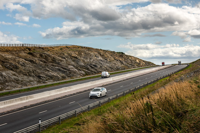
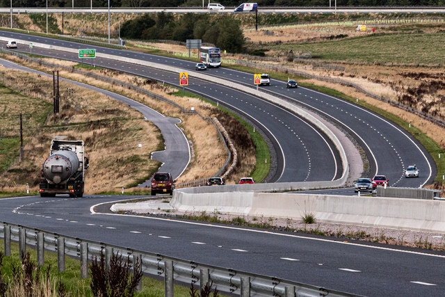
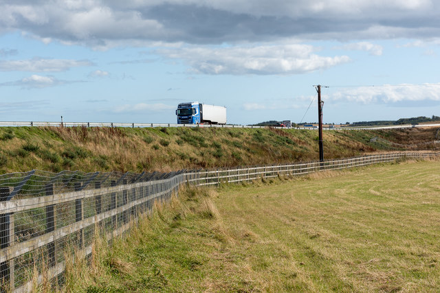
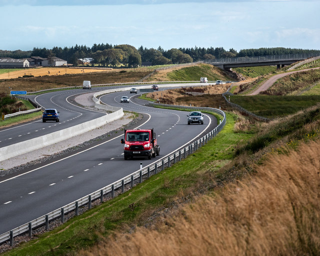
Barn Hill Images
Images are sourced within 2km of 57.073184/-2.1985134 or Grid Reference NO8898. Thanks to Geograph Open Source API. All images are credited.

Barn Hill is located at Grid Ref: NO8898 (Lat: 57.073184, Lng: -2.1985134)
Unitary Authority: Aberdeenshire
Police Authority: North East
What 3 Words
///coiling.meal.differ. Near Portlethen, Aberdeenshire
Nearby Locations
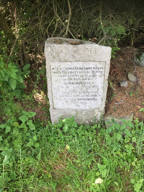
Related Wikis

Oldman Wood
Oldman Wood is a publicly owned forest in Kincardineshire, Scotland. Crynoch Burn, a tributary of the River Dee, flows through the Oldman Wood. == References ==
Maryculter
Maryculter () or Kirkton of Maryculter is a village in the Lower Deeside area of Aberdeenshire, Scotland. The River Dee separates it from the town of...
The Den and the Glen
The Den and the Glen (formerly known as Storybook Glen) is a children's park in Maryculter, Scotland, opened in 1984, near the city of Aberdeen. It is...

Kingcausie
Kingcausie is an ancient estate in lower Deeside, Scotland. Once part of the Temple lands of the Knights Templar in Scotland, it passed in the 16th century...

Blairs College
St Mary's College, Blairs (commonly known as Blairs College), situated near Aberdeen in Scotland, was from 1829 to 1986 a junior seminary for boys and...
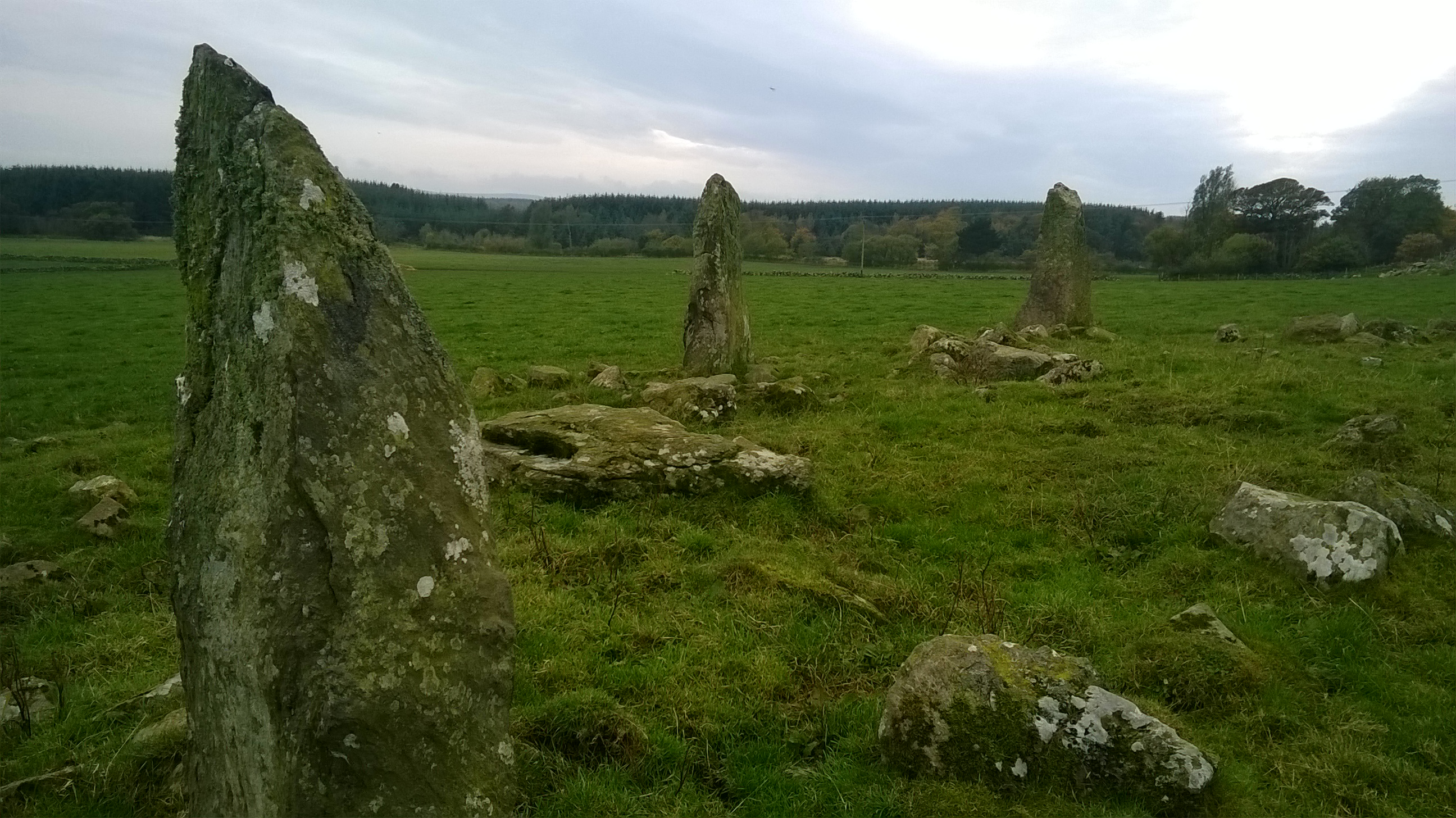
Auld Bourtreebush
Auld Bourtreebush is a large Neolithic stone circle near Portlethen in Aberdeenshire, Scotland. It is also known as Old Bourtree Bush or Old Bourtreebush...
Hare Moss
Hare Moss is a bog in Aberdeenshire, Scotland, in the vicinity of Banchory-Devenick. Hare Moss is a significant wetland ecosystem. == History == Hare...
Lower Deeside
Lower Deeside is a region along the River Dee in Aberdeenshire and Aberdeen in Scotland. The boundaries of this area are subject to interpretation, since...
Nearby Amenities
Located within 500m of 57.073184,-2.1985134Have you been to Barn Hill?
Leave your review of Barn Hill below (or comments, questions and feedback).