Towbury Hill
Hill, Mountain in Gloucestershire Tewkesbury
England
Towbury Hill

Towbury Hill is a prominent geographical feature located in Gloucestershire, England. It is classified as a hill rather than a mountain, standing at an elevation of approximately 277 meters (909 feet) above sea level. The hill is situated in the Cotswolds Area of Outstanding Natural Beauty, which is renowned for its picturesque landscapes and charming villages.
Towbury Hill offers breathtaking panoramic views of the surrounding countryside, including the rolling hills, lush green meadows, and enchanting woodlands. The hill itself is covered in a patchwork of vibrant vegetation, predominantly consisting of grasses, wildflowers, and some scattered trees, creating a visually appealing sight throughout the year.
This natural landmark also holds historical significance. It is believed to have been a site of an Iron Age hillfort, which can still be seen as earthworks and ditches today. The hillfort is thought to have been occupied from the late Bronze Age to the early Roman period, serving as a defensive settlement.
The location of Towbury Hill makes it an ideal destination for outdoor enthusiasts. It offers numerous walking trails and footpaths that traverse the hill and its surroundings, allowing visitors to explore the area's natural beauty. The hill is a popular spot for hikers, nature lovers, and photographers seeking stunning vistas.
Overall, Towbury Hill in Gloucestershire is a captivating natural landmark that combines scenic beauty with historical significance. Its picturesque landscapes, ancient hillfort, and recreational opportunities make it a must-visit destination for those exploring the Cotswolds region.
If you have any feedback on the listing, please let us know in the comments section below.
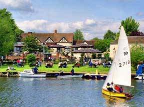
Towbury Hill Images
Images are sourced within 2km of 52.031278/-2.1754522 or Grid Reference SO8837. Thanks to Geograph Open Source API. All images are credited.


Towbury Hill is located at Grid Ref: SO8837 (Lat: 52.031278, Lng: -2.1754522)
Administrative County: Gloucestershire
District: Tewkesbury
Police Authority: Gloucestershire
What 3 Words
///furnish.huddled.fools. Near Bredon, Worcestershire
Nearby Locations
Related Wikis

Ripple, Worcestershire
Ripple is a village and civil parish in the county of Worcestershire, England. Ripple is one of the most southerly parishes in the county and is situated...
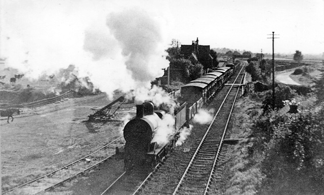
Ripple railway station
Ripple railway station was a station on the Midland Railway between Great Malvern and Evesham. It opened on 16 May 1864 by the Tewkesbury and Malvern...
Battle of Ripple Field
The Battle of Ripple Field, fought on 13 April 1643, was an engagement in the First English Civil War. In the battle, a Royalist cavalry force led by Prince...
Twyning
Twyning is a village and civil parish on the River Avon in the north of Gloucestershire, near Tewkesbury, England. The parish is first mentioned in the...

Bredon School
Bredon School, formerly Pull Court, is a private school in Bushley, Worcestershire, England. The house was built for the Reverend Canon E. C. Dowdeswell...

Queenhill
Queenhill is a civil parish and hamlet in the Malvern Hills District of the county of Worcestershire, England. It is one of three parishes administered...

Naunton, Worcestershire
Naunton is a village in the parish of Ripple, near Upton-upon-Severn in Worcestershire, England. Records for Naunton date back to the 12th Century, where...

Lordship of Saxons Lode
The Lordship of Saxons Lode or warlord of Saxons Lode (Old English for 'Lord of Viking's Iron') (Icelandic: Lávarður Saxa Lode, Danish: Herre af Sakserne...
Nearby Amenities
Located within 500m of 52.031278,-2.1754522Have you been to Towbury Hill?
Leave your review of Towbury Hill below (or comments, questions and feedback).