Hill of Blairs

Hill, Mountain in Kincardineshire

Scotland

Hill of Blairs

Drystone dyke frames the verdant field Photographer is standing at the verge of the minor paved road, looking across the field access gate.
Drystone dyke frames the verdant field Credit: C Michael Hogan

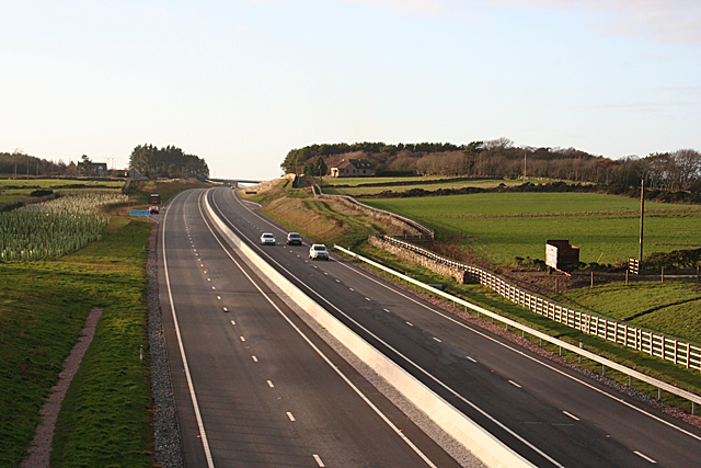
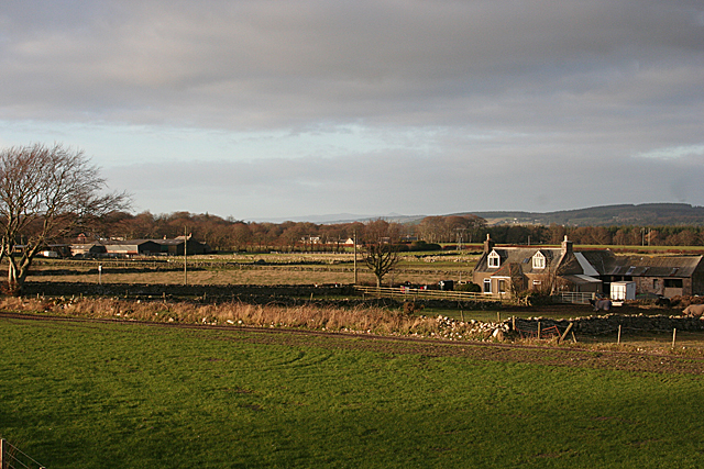
The Hill of Blairs is located in the county of Kincardineshire, Scotland. It is a prominent hill/mountain that stands at an elevation of approximately 349 meters (1,145 feet) above sea level. Situated near the town of Aboyne, the Hill of Blairs offers stunning panoramic views of the surrounding countryside.

Covered in lush green vegetation, the hill is a popular destination for hikers and nature enthusiasts. It is known for its diverse flora and fauna, with a variety of plant species thriving on its slopes. The hill is also home to several species of birds, making it a haven for birdwatchers.

The ascent to the summit of the Hill of Blairs is relatively moderate, with a well-defined path that leads to the top. From there, visitors can enjoy breathtaking vistas of the rolling hills, valleys, and rivers that stretch out as far as the eye can see.

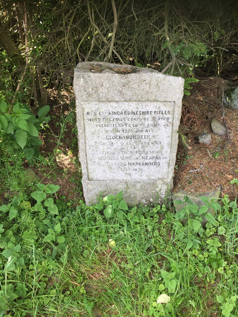
The Hill of Blairs holds historical significance as well. It is believed to have been a site of ancient settlements, with archaeological evidence suggesting human activity dating back thousands of years. The hill is also associated with local folklore and legends, adding to its mystique.

In recent years, efforts have been made to preserve and protect the Hill of Blairs' natural beauty and cultural heritage. It has become a designated nature reserve, attracting visitors from far and wide who come to explore its scenic trails and experience its tranquility.

If you have any feedback on the listing, please let us know in the comments section below.

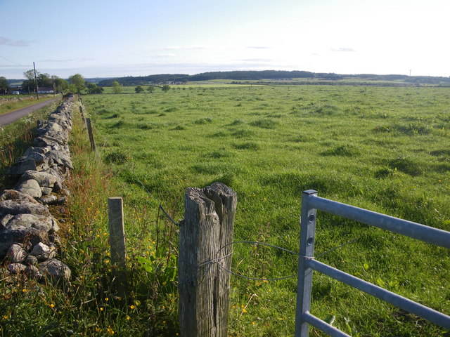
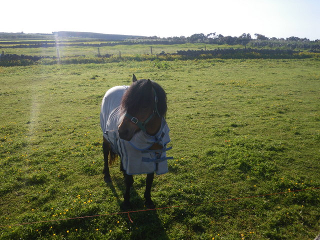
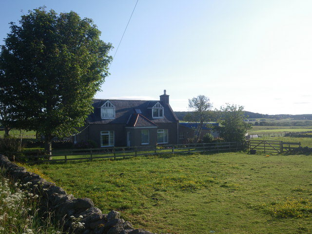
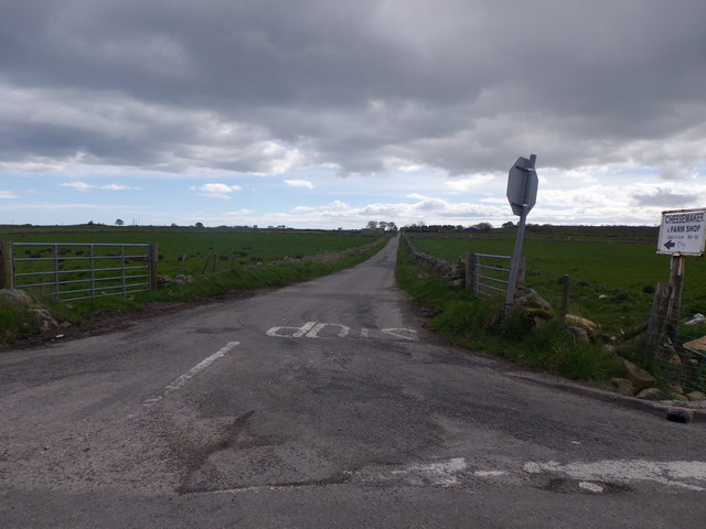
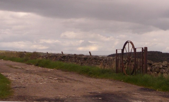
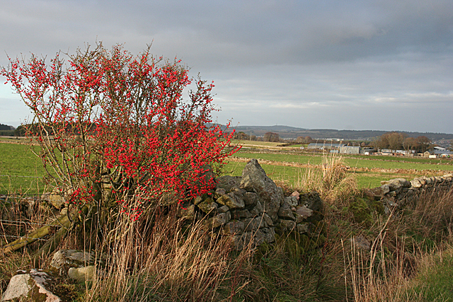
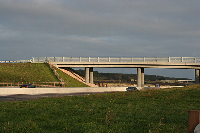
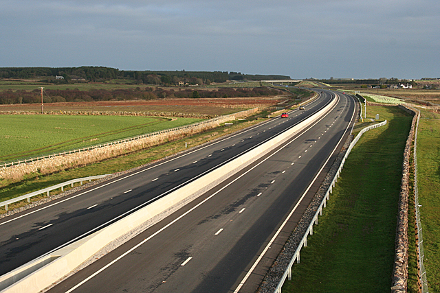
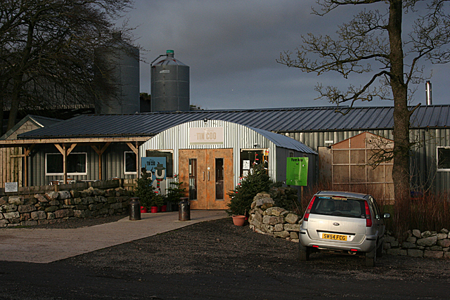
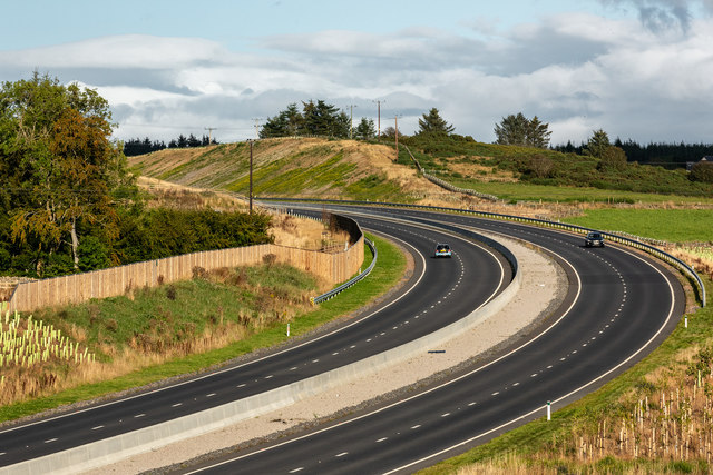
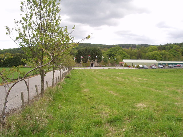
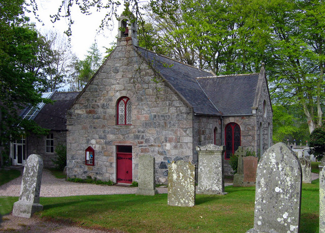
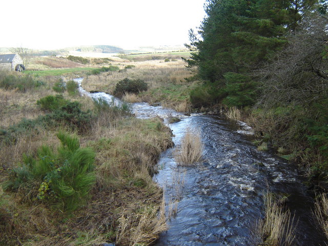
Hill of Blairs Images

Images are sourced within 2km of 57.081746/-2.1915973 or Grid Reference NO8898. Thanks to Geograph Open Source API. All images are credited.

Drystone dyke frames the verdant field Photographer is standing at the verge of the minor paved road, looking across the field access gate.
Drystone dyke frames the verdant field
Photographer is standing at the verge of the minor paved road, looking across the field access gate.
Horse clad for the morning chill Even though the temperature this morning is 13 degees C, this pampered animal is prepared for colder. Photographer is standing somewhat east of the minor road.
Horse clad for the morning chill
Even though the temperature this morning is 13 degees C, this pampered animal is prepared for colder. Photographer is standing somewhat east of the minor road.
Little Bishopston in the morning light This view is from slightly east of the minor road. A small sliver of Hare Moss is faintly visible at image right.
Little Bishopston in the morning light
This view is from slightly east of the minor road. A small sliver of Hare Moss is faintly visible at image right.
Minor road to Bishopston With sign indicating the way to a Cheesemaker and Farm Shop.
Minor road to Bishopston
With sign indicating the way to a Cheesemaker and Farm Shop.
An iron gate Made from a cartwheel.
An iron gate
Made from a cartwheel.
Berries by the Dyke A presumably self-seeded non-native cotoneaster provides a splash of colour beside a rather tumbledown drystane dyke.
Berries by the Dyke
A presumably self-seeded non-native cotoneaster provides a splash of colour beside a rather tumbledown drystane dyke.
Aberdeen Western Peripheral Route This is the overbridge that carries the road between Bishopston and Little Bishopston. Almost all of the overbridges involve a deviation from the original line of the road they replace. Interestingly, there are 'no through route' signs at both ends of this particular bridge, but the road is a through road.
Aberdeen Western Peripheral Route
This is the overbridge that carries the road between Bishopston and Little Bishopston. Almost all of the overbridges involve a deviation from the original line of the road they replace. Interestingly, there are 'no through route' signs at both ends of this particular bridge, but the road is a through road.
Aberdeen Western Peripheral Route This is the view from the Bishopston overbridge eastwards along the spur to Charlestown and the harbour area. As this is 2 January, it is still a public holiday; no doubt it will be much busier when people go back to work after the New Year holidays.
Aberdeen Western Peripheral Route
This is the view from the Bishopston overbridge eastwards along the spur to Charlestown and the harbour area. As this is 2 January, it is still a public holiday; no doubt it will be much busier when people go back to work after the New Year holidays.
Aberdeen Western Peripheral Route This is the view west from Bishopston overbridge towards the roundabout where the spur from Charlestown joins the main route. The white object on the right is a billboard advertising the <a href="https://www.geograph.org.uk/photo/6019576">NO8998 : The Tin Coo</a>, which is on the line of the road replaced by this overbridge.
Aberdeen Western Peripheral Route
This is the view west from Bishopston overbridge towards the roundabout where the spur from Charlestown joins the main route. The white object on the right is a billboard advertising the NO8998 : The Tin Coo, which is on the line of the road replaced by this overbridge.
Little Bishopston Little Bishopston is to the right, close to the ramp up to the overbridge, and the more distant farm is Cowford.
Little Bishopston
Little Bishopston is to the right, close to the ramp up to the overbridge, and the more distant farm is Cowford.
Drystane Dyke The dyke is looking rather the worse for wear and wouldn't be much use for containing livestock. Nor, come to that, would the fence alongside it. The distant farm is Scatterburn.
Drystane Dyke
The dyke is looking rather the worse for wear and wouldn't be much use for containing livestock. Nor, come to that, would the fence alongside it. The distant farm is Scatterburn.
Roadside Memorial Clochandighter A granite stone by the roadside on the route of the National Cycle Route 1, to the south of Aberdeen marks a curious event in history.

The Stone bears the inscription, "No. 6 Company Kincardineshire Rifles were the first corps of Scotch volunteers to go camp which they did at Clochandighter from 19th - 26th June 1869. Erected by their successors Buchan, Mar and Mearns BN of the Gordon Highlanders July 1930."

<span class="nowrap"><a title="http://www.gairney.plus.com/Trivial_History/TH-Aberdeen/Aberdeen-Clochandighter.htm" rel="nofollow ugc noopener" href="http://www.gairney.plus.com/Trivial_History/TH-Aberdeen/Aberdeen-Clochandighter.htm">Link</a><img style="margin-left:2px;" alt="External link" title="External link - shift click to open in new window" src="https://s1.geograph.org.uk/img/external.png" width="10" height="10"/></span>

A small eddy in the tide of the British Empire.
Roadside Memorial Clochandighter
A granite stone by the roadside on the route of the National Cycle Route 1, to the south of Aberdeen marks a curious event in history. The Stone bears the inscription, "No. 6 Company Kincardineshire Rifles were the first corps of Scotch volunteers to go camp which they did at Clochandighter from 19th - 26th June 1869. Erected by their successors Buchan, Mar and Mearns BN of the Gordon Highlanders July 1930." LinkExternal link A small eddy in the tide of the British Empire.
OS Rivet on Roadside Monument Clochandighter OS Rivet on Roadside Monument Clochandighter - on the top of monument
OS Rivet on Roadside Monument Clochandighter
OS Rivet on Roadside Monument Clochandighter - on the top of monument
Close Up of OS Rivet Roadside Monument Clochandighter Close Up of OS Rivet Roadside Monument Clochandighter  - a good example
Close Up of OS Rivet Roadside Monument Clochandighter
Close Up of OS Rivet Roadside Monument Clochandighter - a good example
The Tin Coo I'd never heard of the Tin Coo until I saw a sign near Portlethen. It turns out to be the farm shop, coffee shop and viewing room of Bishopton Farm, which produces and markets a range of cheeses under the 'Devenick Dairy' brand. (The name of the parish in which it stands is Banchory-Devenick, not to be confused with next-door parish of Banchory-Ternan, better known because the town of Banchory is there.) I had often seen, bought and eaten the cheeses and after today my fridge is well-stocked again. The company web site is at <span class="nowrap"><a title="https://www.devenickdairy.co.uk/" rel="nofollow ugc noopener" href="https://www.devenickdairy.co.uk/">Link</a><img style="margin-left:2px;" alt="External link" title="External link - shift click to open in new window" src="https://s1.geograph.org.uk/img/external.png" width="10" height="10"/></span>.
The Tin Coo
I'd never heard of the Tin Coo until I saw a sign near Portlethen. It turns out to be the farm shop, coffee shop and viewing room of Bishopton Farm, which produces and markets a range of cheeses under the 'Devenick Dairy' brand. (The name of the parish in which it stands is Banchory-Devenick, not to be confused with next-door parish of Banchory-Ternan, better known because the town of Banchory is there.) I had often seen, bought and eaten the cheeses and after today my fridge is well-stocked again. The company web site is at LinkExternal link.
Aberdeen Western Peripheral Route This is a spur from the main AWPR that links it eastwards to the harbour and industrial zones on the south side of the city.
Aberdeen Western Peripheral Route
This is a spur from the main AWPR that links it eastwards to the harbour and industrial zones on the south side of the city.
Dyke Plus It looks as if the farmer has been dumping field boulders alongside the drystane dyke. There's no shortage of those, because the land here is covered in material dumped by the melting ice at the end of the last ice age.
Dyke Plus
It looks as if the farmer has been dumping field boulders alongside the drystane dyke. There's no shortage of those, because the land here is covered in material dumped by the melting ice at the end of the last ice age.
A956 at Burnhead The A956, Aberdeen Western Peripheral Route (AWPR) at Burnhead near the Cleanhill roundabout.
A956 at Burnhead
The A956, Aberdeen Western Peripheral Route (AWPR) at Burnhead near the Cleanhill roundabout.
Show me another place!

Hill of Blairs is located at Grid Ref: NO8898 (Lat: 57.081746, Lng: -2.1915973)

Unitary Authority: Aberdeenshire

Police Authority: North East

What 3 Words

///stiletto.dressy.reminds. Near Portlethen, Aberdeenshire

Nearby Locations

Hill of Blairs Barn Hill

Related Wikis

Blairs College

St Mary's College, Blairs (commonly known as Blairs College), situated near Aberdeen in Scotland, was from 1829 to 1986 a junior seminary for boys and...

Hare Moss

Hare Moss is a bog in Aberdeenshire, Scotland, in the vicinity of Banchory-Devenick. Hare Moss is a significant wetland ecosystem. == History == Hare...

Oldman Wood

Oldman Wood is a publicly owned forest in Kincardineshire, Scotland. Crynoch Burn, a tributary of the River Dee, flows through the Oldman Wood. == References ==

The Den and the Glen

The Den and the Glen (formerly known as Storybook Glen) is a children's park in Maryculter, Scotland, opened in 1984, near the city of Aberdeen. It is...

Kingcausie

Kingcausie is an ancient estate in lower Deeside, Scotland. Once part of the Temple lands of the Knights Templar in Scotland, it passed in the 16th century...

Maryculter

Maryculter () or Kirkton of Maryculter is a village in the Lower Deeside area of Aberdeenshire, Scotland. The River Dee separates it from the town of...

Lower Deeside

Lower Deeside is a region along the River Dee in Aberdeenshire and Aberdeen in Scotland. The boundaries of this area are subject to interpretation, since...

Crynoch Burn

Crynoch Burn is a stream in Aberdeenshire that is a tributary to the River Dee. This stream rises somewhat above Netherley and flows near Netherley House...

Nearby Amenities

Located within 500m of 57.081746,-2.1915973
Power: pole
Lat/Long: 57.0794146/-2.1960106
Power: pole
Lat/Long: 57.0788807/-2.1965107
Power: pole
Lat/Long: 57.0857872/-2.1886611
Power: pole
Lat/Long: 57.0851199/-2.1883197
Power: pole
Lat/Long: 57.0843984/-2.1879591
Power: pole
Lat/Long: 57.0837264/-2.1876113
Power: pole
Lat/Long: 57.0829992/-2.1872613
Power: pole
Lat/Long: 57.08225/-2.1870407
Power: pole
Lat/Long: 57.0814858/-2.1868074
Power: pole
Lat/Long: 57.0807942/-2.1864596
Power: pole
Lat/Long: 57.0799804/-2.1860184
Power: pole
Lat/Long: 57.079343/-2.1857066
Power: pole
Lat/Long: 57.0794698/-2.1971111
Power: pole
Lat/Long: 57.0803112/-2.1979786
Power: pole
Lat/Long: 57.0809118/-2.1985385
Power: pole
Lat/Long: 57.0814224/-2.198091
Power: pole
Lat/Long: 57.0821762/-2.1974144
Power: pole
Lat/Long: 57.0828205/-2.1968714
Power: pole
Lat/Long: 57.0835593/-2.1962033
Power: pole
Lat/Long: 57.0842324/-2.1956158
Power: pole
Lat/Long: 57.0848363/-2.1953273
Power: pole
Lat/Long: 57.0854564/-2.1950347
Power: pole
Lat/Long: 57.079758/-2.1961227
Power: pole
Lat/Long: 57.0791286/-2.1954101
Power: pole
Lat/Long: 57.0787021/-2.194479
Power: pole
Lat/Long: 57.0781937/-2.1933761
Power: pole
Lat/Long: 57.0782617/-2.1925001
Power: pole
Lat/Long: 57.0783782/-2.1909603
Power: pole
Lat/Long: 57.0786306/-2.1898171
Power: pole
Lat/Long: 57.0787747/-2.1891617
Power: pole
Lat/Long: 57.0785384/-2.1882836
Power: pole
Lat/Long: 57.0786029/-2.1868774
The data included in this document is from www.openstreetmap.org. The data is made available under ODbL.

Have you been to Hill of Blairs?

Leave your review of Hill of Blairs below (or comments, questions and feedback).