Beattie's Hill

Hill, Mountain in Kincardineshire

Scotland

Beattie's Hill

Stonehaven railway station
Stonehaven railway station Credit: Mike Pennington

Beattie's Hill is a prominent landmark located in Kincardineshire, Scotland. As its name suggests, it is a hill that stands tall and offers breathtaking views of the surrounding landscape.

Situated in the eastern part of the county, Beattie's Hill is part of the Grampian Mountains range. It rises to an elevation of approximately 500 meters (1,640 feet) above sea level, making it a significant peak in the region. The hill is characterized by its rugged terrain, with steep slopes covered in heather and grasses.

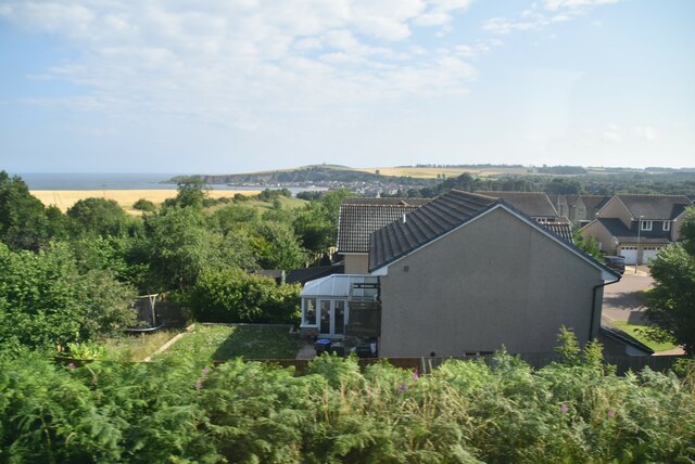
The summit of Beattie's Hill provides an impressive panorama of the surrounding countryside. On clear days, visitors can enjoy far-reaching views over the rolling hills and valleys of Kincardineshire, with glimpses of the North Sea in the distance. The hill is a popular spot for hikers and nature enthusiasts, who can explore its various walking trails and take in the beauty of the Scottish countryside.

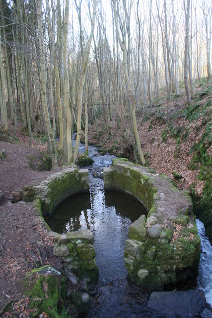
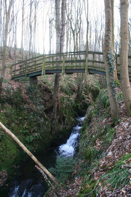
The area surrounding Beattie's Hill is rich in flora and fauna, with a diverse range of plant species and wildlife. The hillside is home to heather, gorse, and various grasses, while birds such as red grouse and curlews can often be spotted in the vicinity. The surrounding woodlands provide habitat for deer, foxes, and other mammals.

Overall, Beattie's Hill is not only a scenic landmark but also an important natural habitat in Kincardineshire. Its towering presence and stunning views make it a popular destination for outdoor enthusiasts seeking to immerse themselves in the beauty of the Scottish countryside.

If you have any feedback on the listing, please let us know in the comments section below.

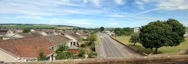
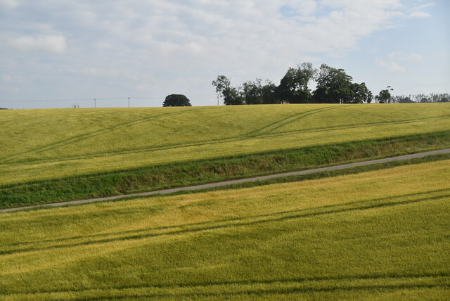
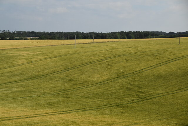
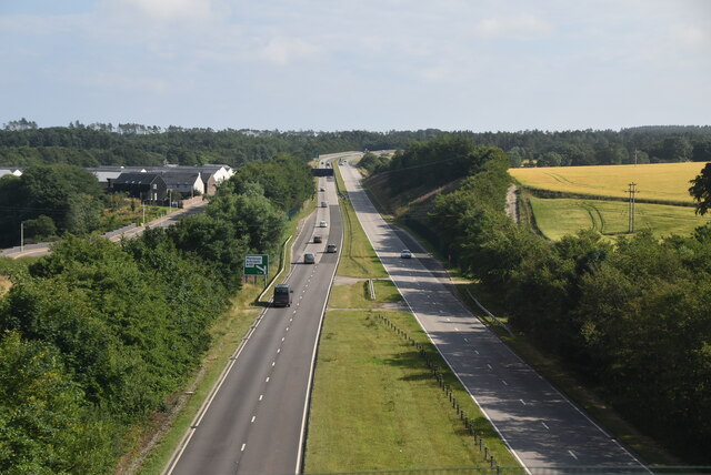
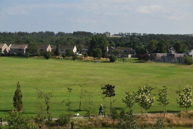
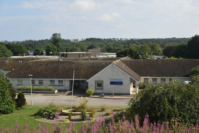
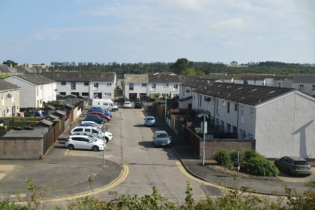
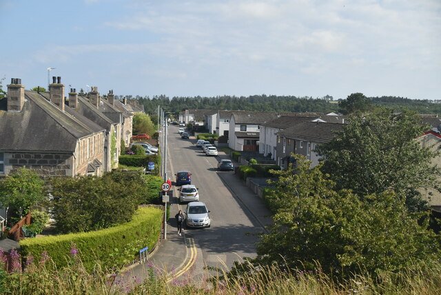
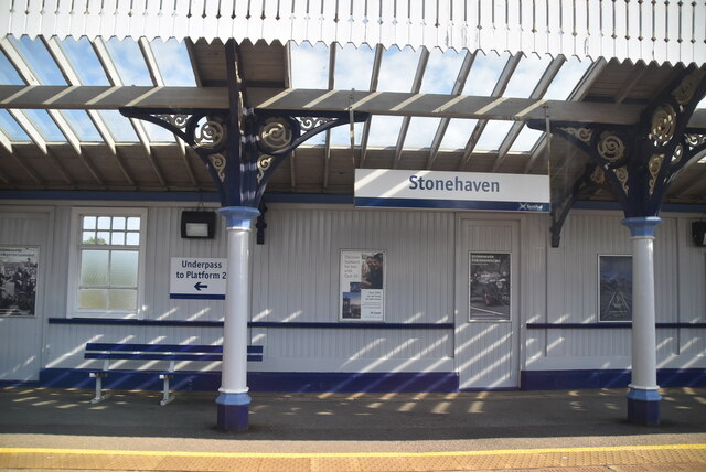
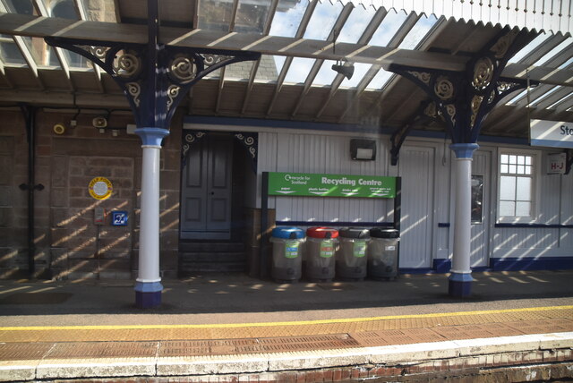
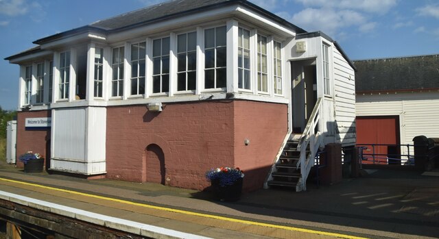
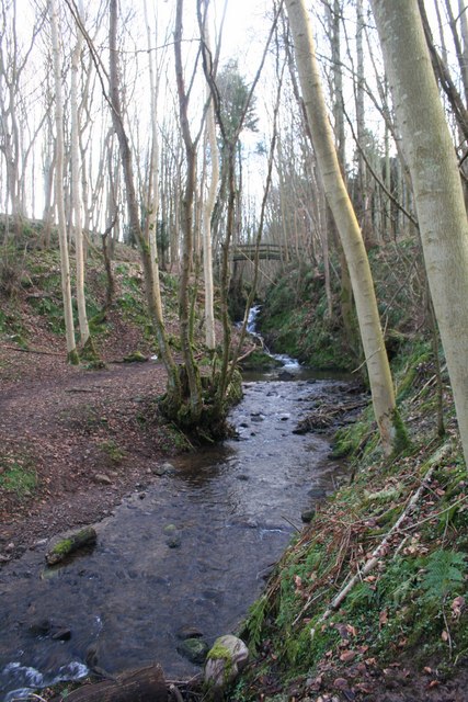
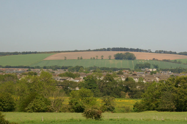
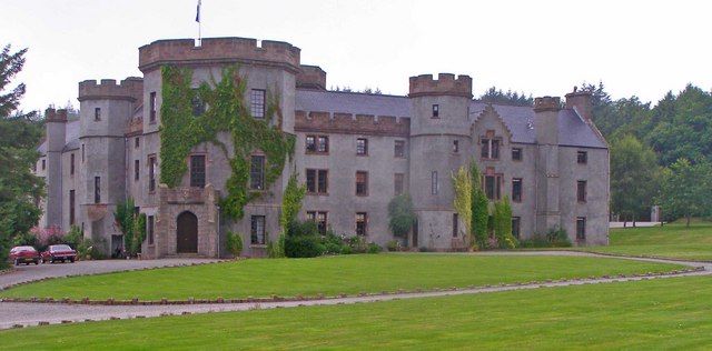
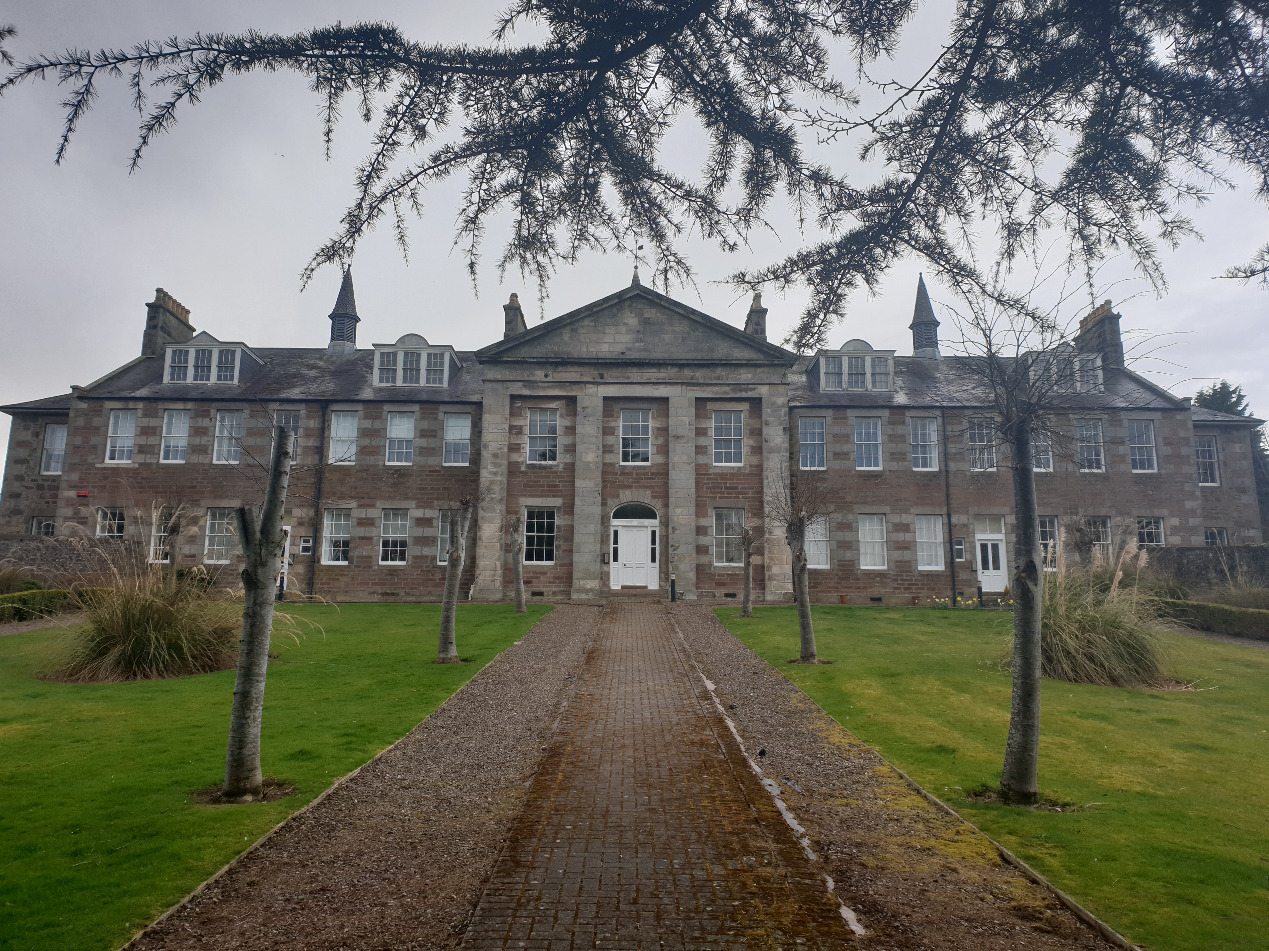
Beattie's Hill Images

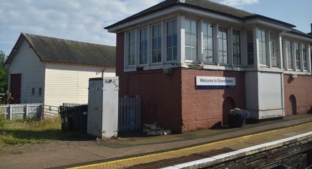
Images are sourced within 2km of 56.965466/-2.2485432 or Grid Reference NO8486. Thanks to Geograph Open Source API. All images are credited.

Stonehaven railway station
Slug Road, Stonehaven
Toucks Rd
Toucks Rd
Farmland on the edge of Stonehaven
A90, Stonehaven bypass The A90 road is a major north to south highway in eastern Scotland, starting in Edinburgh and running for 146 miles up the majority of the east coast to end in Fraserburgh (although immediately north of the Forth it has been replaced by the similarly numbered M90).
A90, Stonehaven bypass
The A90 road is a major north to south highway in eastern Scotland, starting in Edinburgh and running for 146 miles up the majority of the east coast to end in Fraserburgh (although immediately north of the Forth it has been replaced by the similarly numbered M90).
Forest Park playing fields
Forest View Day Centre
Forest Drive
Forest Drive
Brickfield Rd
Brickfield Rd
Stonehaven Station Stonehaven station serves Stonehaven in Aberdeenshire. It is sited on the Dundee to Aberdeen line, and is situated between Laurencekirk and Portlethen. The station opened in 1849. 
Wikipedia: <span class="nowrap"><a title="https://en.wikipedia.org/wiki/Stonehaven_railway_station" rel="nofollow ugc noopener" href="https://en.wikipedia.org/wiki/Stonehaven_railway_station">Link</a><img style="margin-left:2px;" alt="External link" title="External link - shift click to open in new window" src="https://s1.geograph.org.uk/img/external.png" width="10" height="10"/></span>
Stonehaven Station
Stonehaven station serves Stonehaven in Aberdeenshire. It is sited on the Dundee to Aberdeen line, and is situated between Laurencekirk and Portlethen. The station opened in 1849. Wikipedia: LinkExternal link
Recycling, Stonehaven Station Stonehaven station serves Stonehaven in Aberdeenshire. It is sited on the Dundee to Aberdeen line, and is situated between Laurencekirk and Portlethen. The station opened in 1849. 
Wikipedia: <span class="nowrap"><a title="https://en.wikipedia.org/wiki/Stonehaven_railway_station" rel="nofollow ugc noopener" href="https://en.wikipedia.org/wiki/Stonehaven_railway_station">Link</a><img style="margin-left:2px;" alt="External link" title="External link - shift click to open in new window" src="https://s1.geograph.org.uk/img/external.png" width="10" height="10"/></span>
Recycling, Stonehaven Station
Stonehaven station serves Stonehaven in Aberdeenshire. It is sited on the Dundee to Aberdeen line, and is situated between Laurencekirk and Portlethen. The station opened in 1849. Wikipedia: LinkExternal link
Stonehaven signalbox Category B listed.
Stonehaven signalbox
Category B listed.
Stonehaven signalbox Category B listed.
Stonehaven signalbox
Category B listed.
House, East Glebe
House, East Glebe
Lady Kennedy's Bath A stone structure, reputedly for bathing, in the Burn of Glaslaw.
Lady Kennedy's Bath
A stone structure, reputedly for bathing, in the Burn of Glaslaw.
Footbridge over the Glaslaw A footbridge over the Glaslaw Burn.
Footbridge over the Glaslaw
A footbridge over the Glaslaw Burn.
Glaslaw Burn The Glaslaw Burn flowing north towards Stonehaven.
Glaslaw Burn
The Glaslaw Burn flowing north towards Stonehaven.
Southern part of Stonehaven from the A90
Show me another place!

Beattie's Hill is located at Grid Ref: NO8486 (Lat: 56.965466, Lng: -2.2485432)

Unitary Authority: Aberdeenshire

Police Authority: North East

What 3 Words

///snows.parsnip.gardens. Near Stonehaven, Aberdeenshire

Related Wikis

Nearby Amenities

Located within 500m of 56.965466,-2.2485432
Crossing
Crossing: unmarked
Crossing Island: yes
Lat/Long: 56.96321/-2.2428255
Post Box
Post Box Mounting: telegraph_pole
Post Box Type: lamp
Ref: AB39 415
Royal Cypher: scottish_crown
Lat/Long: 56.9627771/-2.2420683
Bus Stop
Kirkton of Fetteresso
Bus: yes
Naptan AtcoCode: 630061522
Naptan NaptanCode: 23629498
Operator: Stagecoach
Public Transport: platform
Ref: 630061522
Lat/Long: 56.9629735/-2.2418789
Power: pole
Lat/Long: 56.9647616/-2.2553689
Power: pole
Lat/Long: 56.965008/-2.2546126
Power: pole
Lat/Long: 56.9648734/-2.2535454
Power: pole
Lat/Long: 56.964776/-2.2525841
Power: pole
Lat/Long: 56.9645885/-2.2510759
Power: pole
Lat/Long: 56.9644094/-2.2496295
Power: pole
Lat/Long: 56.964264/-2.248419
Power: pole
Lat/Long: 56.9640801/-2.2469285
Power: pole
Lat/Long: 56.9639563/-2.2458304
Power: pole
Lat/Long: 56.9638024/-2.2445824
Power: pole
Lat/Long: 56.9637411/-2.2440753
Give Way
Direction: backward
Lat/Long: 56.9675048/-2.2421642
The data included in this document is from www.openstreetmap.org. The data is made available under ODbL.

Have you been to Beattie's Hill?

Leave your review of Beattie's Hill below (or comments, questions and feedback).