Cook Hill

Hill, Mountain in Yorkshire Pendle

England

Cook Hill

Gutteridge Farm
Gutteridge Farm Credit: Anthony Parkes

Cook Hill is a prominent hill located in the county of Yorkshire, England. Situated in the region's beautiful countryside, it forms part of the Pennines, a range of hills and mountains that stretches across northern England. Rising to a height of approximately 510 meters (1,673 feet), Cook Hill offers breathtaking panoramic views of the surrounding landscapes.

The hill is renowned for its picturesque scenery, characterized by rolling green fields, meandering rivers, and charming villages nestled in the valleys below. Its slopes are covered in lush vegetation, including grasses, heather, and scattered trees, creating a diverse and vibrant ecosystem. Cook Hill is also home to various wildlife species, including rabbits, foxes, and a variety of birds.

The hill is a popular destination for outdoor enthusiasts, offering a range of recreational activities such as hiking, walking, and cycling. There are several well-maintained trails that lead visitors to the summit, allowing them to fully appreciate the stunning vistas. Additionally, the hill is often used for paragliding and offers a thrilling experience for adventure seekers.

Cook Hill holds historical significance as well, as it is believed to have been used as a lookout point during ancient times. The hill's strategic position allowed for surveillance of the surrounding areas, making it a valuable location for early settlers.

Overall, Cook Hill in Yorkshire is a natural gem, offering visitors a chance to immerse themselves in the beauty of the region's countryside, enjoy outdoor activities, and experience the rich history of the area.

If you have any feedback on the listing, please let us know in the comments section below.
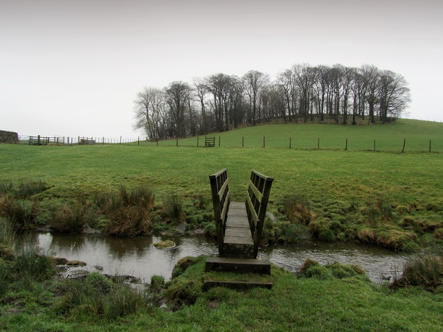
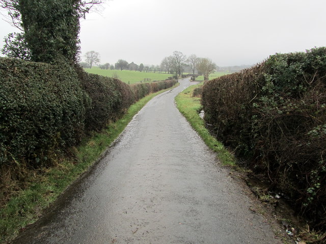
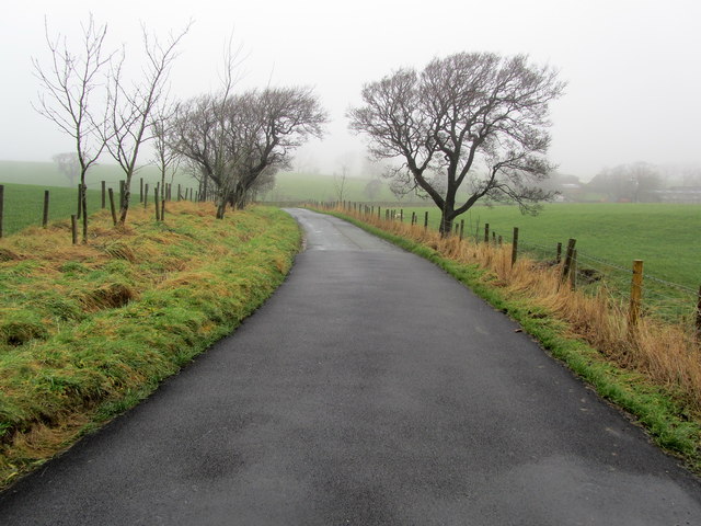
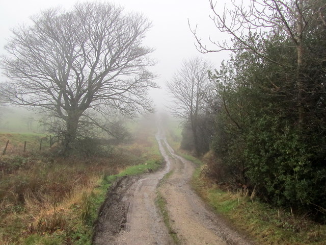
Cook Hill Images

Images are sourced within 2km of 53.924403/-2.2302053 or Grid Reference SD8447. Thanks to Geograph Open Source API. All images are credited.

Gutteridge Farm
Gutteridge Farm
Fields East of Gisburn
Walter Hill Approaching the summit of Walter Hill near Gisburn - one of many drumlins that abound in this area
Walter Hill
Approaching the summit of Walter Hill near Gisburn - one of many drumlins that abound in this area
Below Walter Hill Plantation Lonely tree on Walter Hill.
Below Walter Hill Plantation
Lonely tree on Walter Hill.
The Footbridge below Walter Hill On the footpath between Gisburn and Bracewell
The Footbridge below Walter Hill
On the footpath between Gisburn and Bracewell
Descending towards Big Covert Following a footpath between Gisburn and Bracewell - at this point it breaches the summit of a highly soggy drumlin, and gradually tapers down towards Big Covert, somewhat shrouded in mist.
Descending towards Big Covert
Following a footpath between Gisburn and Bracewell - at this point it breaches the summit of a highly soggy drumlin, and gradually tapers down towards Big Covert, somewhat shrouded in mist.
Beside Big Covert A secret little valley squeezed between drumlins
Beside Big Covert
A secret little valley squeezed between drumlins
Footbridge below Calf House Hill Crossing a stream below the tree crowned drumlin of Calf House Hill
Footbridge below Calf House Hill
Crossing a stream below the tree crowned drumlin of Calf House Hill
Ornamental Lake beside Big Covert Pleasing landscape near Bracewell
Ornamental Lake beside Big Covert
Pleasing landscape near Bracewell
Fools Syke Watercourse running down towards Stock Beck to the north of Barnoldswick - the channel being particularly full due to days of heavy rain.
Fools Syke
Watercourse running down towards Stock Beck to the north of Barnoldswick - the channel being particularly full due to days of heavy rain.
Brogden Lane A narrow back lane that runs from the north end of Barnoldswick to the A682 Nelson/Gisburn Road
Brogden Lane
A narrow back lane that runs from the north end of Barnoldswick to the A682 Nelson/Gisburn Road
On the Footpath between Brogden Hall and Barlick Barlick is what the locals refer to the town of Barnoldswick.
The photograph shows part of a little used footpath running from Brogden Hall, crossing squelchy fields before entering the western part of the town.
On the Footpath between Brogden Hall and Barlick
Barlick is what the locals refer to the town of Barnoldswick. The photograph shows part of a little used footpath running from Brogden Hall, crossing squelchy fields before entering the western part of the town.
Brogden Lane beside Kirk Clough Part of the narrow lane that runs from the north end of Barnoldswick to the A682 Gisburn/Nelson Road
Brogden Lane beside Kirk Clough
Part of the narrow lane that runs from the north end of Barnoldswick to the A682 Gisburn/Nelson Road
Driveway to Brogden Hall Access to Brogden Hall Farm from Brogden Lane
Driveway to Brogden Hall
Access to Brogden Hall Farm from Brogden Lane
On Brogden Lane The lane on a misty winters day as it descends toward Brogden Hall en route to Barnoldswick
On Brogden Lane
The lane on a misty winters day as it descends toward Brogden Hall en route to Barnoldswick
Flass House Farm in the Mist Brogden Lane passing Flass House Farm on a miserable misty winters day
Flass House Farm in the Mist
Brogden Lane passing Flass House Farm on a miserable misty winters day
Coal Pit Lane Unmetalled Lane descending gradually towards the Ribble Valley, recently adopted by the Pennine Bridleway.
Coal Pit Lane
Unmetalled Lane descending gradually towards the Ribble Valley, recently adopted by the Pennine Bridleway.
Access Drive to Coverdale The driveway seen on a rather grim misty day, from Coal Pit Lane
Access Drive to Coverdale
The driveway seen on a rather grim misty day, from Coal Pit Lane
Show me another place!

Cook Hill is located at Grid Ref: SD8447 (Lat: 53.924403, Lng: -2.2302053)

Division: West Riding

Administrative County: Lancashire

District: Pendle

Police Authority: Lancashire

What 3 Words

///website.glassware.risk. Near Barnoldswick, Lancashire

Related Wikis

Nearby Amenities

Located within 500m of 53.924403,-2.2302053
ancient earthwork
Historic: archaeological_site
Source: OS 1:25k
Lat/Long: 53.9211737/-2.2335495
West Field Hill
Natural: peak
Source: OS 1:25k
Lat/Long: 53.9206304/-2.2293009
Cook Hill
Natural: peak
Source: OS 1:25k
Lat/Long: 53.9243839/-2.2302664
Pond Hill
Natural: peak
Source: OS 1:25k
Lat/Long: 53.9239543/-2.2335924
The data included in this document is from www.openstreetmap.org. The data is made available under ODbL.

Have you been to Cook Hill?

Leave your review of Cook Hill below (or comments, questions and feedback).