West Clove Hill

Hill, Mountain in Yorkshire

England

West Clove Hill

Lune Head Stone Circle
Lune Head Stone Circle Credit: Anthony Parkes

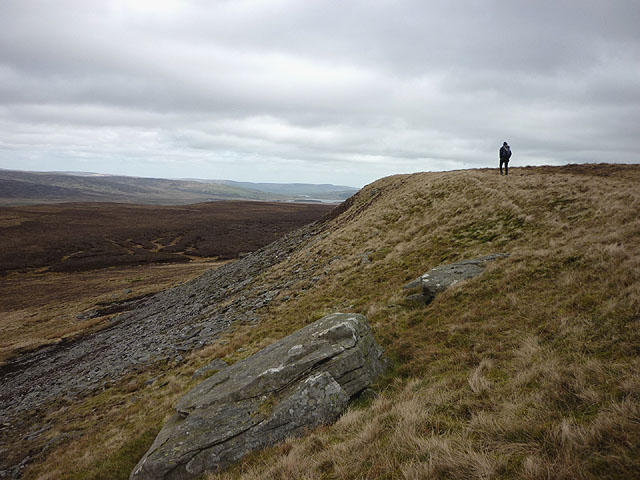
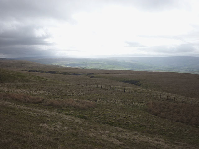
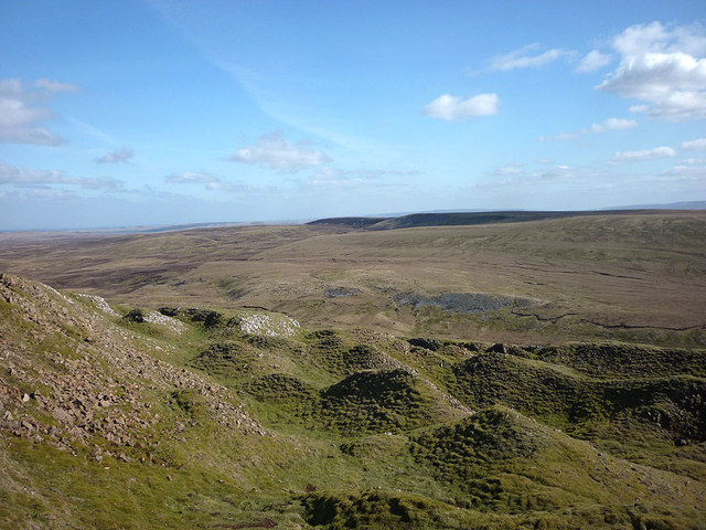
West Clove Hill is a prominent natural landmark located in the breathtaking region of Yorkshire, England. Rising majestically to an elevation of 1,254 feet (382 meters), it stands as a prominent hill in the North York Moors National Park. Situated near the village of Hutton-le-Hole, West Clove Hill offers visitors a captivating blend of rugged beauty and panoramic views.

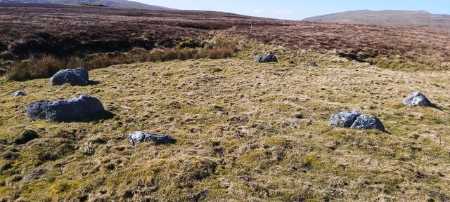
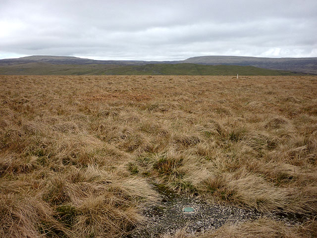
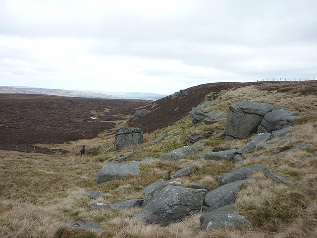
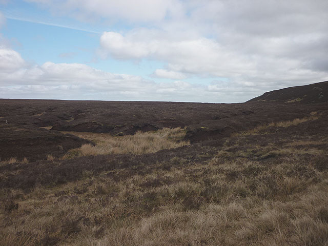
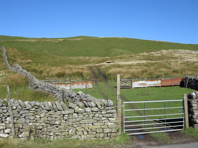
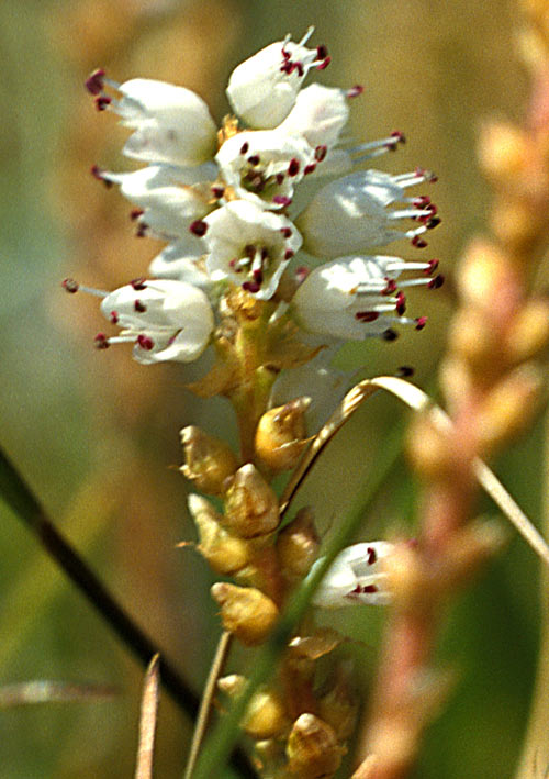
Characterized by its distinctive geological formation, West Clove Hill boasts a commanding presence with its steep slopes and rocky outcrops. The hill is predominantly covered in rich heather moorland, providing a stunning tapestry of vibrant purple hues during the summer months. This pristine landscape serves as a sanctuary for a diverse range of flora and fauna, including various species of birds, mammals, and insects.

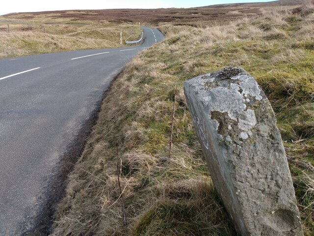
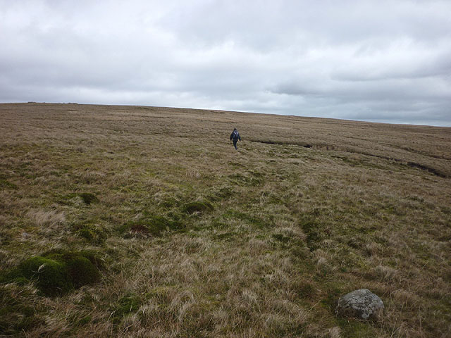
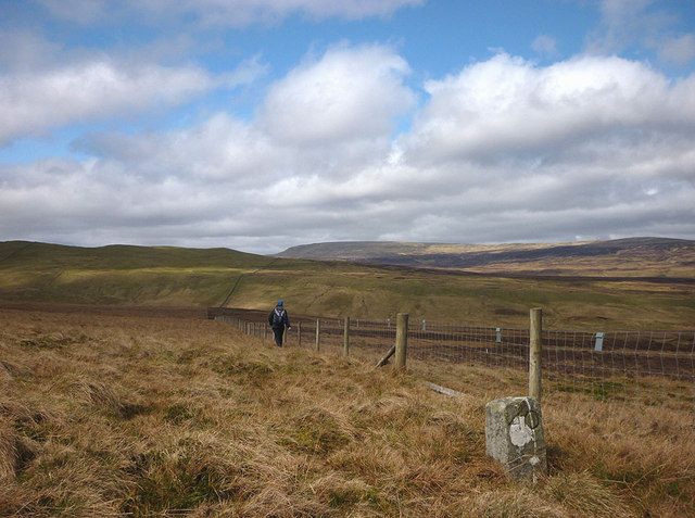
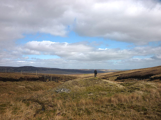
Explorers and nature enthusiasts are drawn to West Clove Hill for its extensive network of walking trails, which offer opportunities for both leisurely strolls and challenging hikes. The paths wind through the hill's undulating terrain, revealing breathtaking vistas of the surrounding countryside, including the picturesque village of Hutton-le-Hole nestled in the valley below.

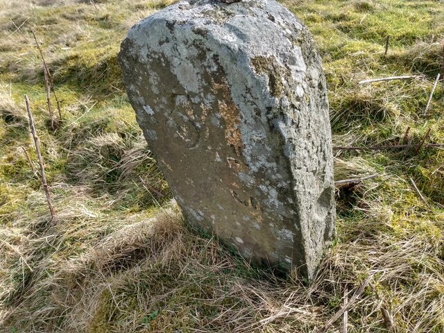
West Clove Hill also holds historical significance, with remnants of ancient settlements and burial mounds found in the vicinity. These archaeological sites provide intriguing insights into the area's past, attracting archaeologists and history buffs alike.

Whether it's the allure of its natural beauty, the thrill of exploration, or the desire to immerse oneself in history, West Clove Hill offers a captivating experience that leaves a lasting impression on all who venture to its summit.

If you have any feedback on the listing, please let us know in the comments section below.

West Clove Hill Images

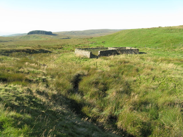
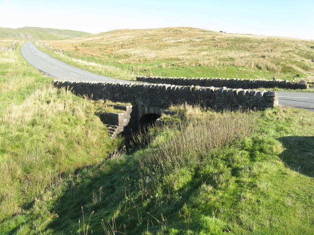
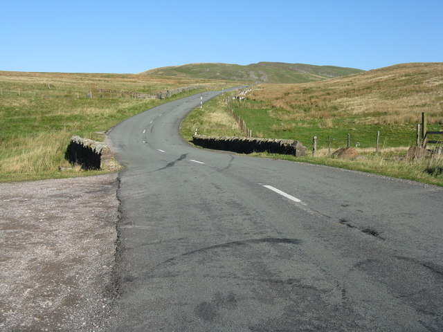
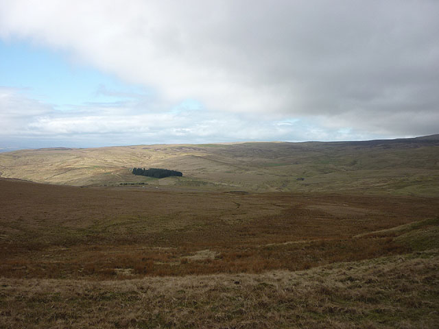
Images are sourced within 2km of 54.570298/-2.2464554 or Grid Reference NY8419. Thanks to Geograph Open Source API. All images are credited.

Lune Head Stone Circle
Old milestone A newer photo of the Brough 5 milestone on the B6276 towards Middleton in Teesdale just over the old border between Westmorland and North Yorkshire but now Cumbria and Co. Durham.  The stone is now leaning slightly forwards.   The worn legend reads 5 ML/(BROU)GH.   The abundance of white lichens shows how clear the air is on this hilly road.  The Brough and Middleton turnpike was operative from 1817 to 1873 and this stone will date from that period.
Old milestone
A newer photo of the Brough 5 milestone on the B6276 towards Middleton in Teesdale just over the old border between Westmorland and North Yorkshire but now Cumbria and Co. Durham. The stone is now leaning slightly forwards. The worn legend reads 5 ML/(BROU)GH. The abundance of white lichens shows how clear the air is on this hilly road. The Brough and Middleton turnpike was operative from 1817 to 1873 and this stone will date from that period.
Old milestone Travelling along the B6276 towards Middleton in Teesdale, empty moorland.   In the turnpike era no tarmacked surface but the route must have been important enough for trade across the hills.
Old milestone
Travelling along the B6276 towards Middleton in Teesdale, empty moorland. In the turnpike era no tarmacked surface but the route must have been important enough for trade across the hills.
Old Boundary Marker on Stainmore Common Estate Boundary Marker built into a drystone wall 375 metres northwest of the B6276. Inscribed 49. On the boundary of Stainmore parish, Westmorland, now Cumbria, and Lunedale parish, North Riding, now County Durham.

Milestone Society National ID: WE_CBDM049em
Old Boundary Marker on Stainmore Common
Estate Boundary Marker built into a drystone wall 375 metres northwest of the B6276. Inscribed 49. On the boundary of Stainmore parish, Westmorland, now Cumbria, and Lunedale parish, North Riding, now County Durham. Milestone Society National ID: WE_CBDM049em
Sheepfold by Deadman Gill One of about 50 restored by the artist Andy Goldsworthy in the North Pennines area, as part of a Sheepfolds Project supported by local councils. See also <a href="https://www.geograph.org.uk/photo/2384565">NY8218 : Sheepfold beside Deadman Gill</a>.
Sheepfold by Deadman Gill
One of about 50 restored by the artist Andy Goldsworthy in the North Pennines area, as part of a Sheepfolds Project supported by local councils. See also NY8218 : Sheepfold beside Deadman Gill.
Bridge over Deadman Gill The bridge carries the B6276 Brough-Middleton-in-Teesdale road. The gill's source is in Shot Moss, to the right, and it flows into Swindale Beck, which goes into the River Eden near Brough.
Bridge over Deadman Gill
The bridge carries the B6276 Brough-Middleton-in-Teesdale road. The gill's source is in Shot Moss, to the right, and it flows into Swindale Beck, which goes into the River Eden near Brough.
The road to Middleton-in-Teesdale The B6276 at Deadman Gill Bridge, crossing Stainmore Common.
The road to Middleton-in-Teesdale
The B6276 at Deadman Gill Bridge, crossing Stainmore Common.
Hart Side Bleak moorland with only the plantation on Seavey Rigg drawing the eye.
Hart Side
Bleak moorland with only the plantation on Seavey Rigg drawing the eye.
West Dow Crag An escarpment with a scattering of gritstone boulders and scree at the eastern edge of Iron Band.
West Dow Crag
An escarpment with a scattering of gritstone boulders and scree at the eastern edge of Iron Band.
The curry stool trig mark on Iron Band We haven't seen one of these type of trig marks before but the OS say it's at 561.746m asl which is not the highest point on the hill (563m a little to the east). To the north west is Ley Seat (where we are heading later), overtopped by Little Fell (left) and Mickle Fell. The white stick is a marker for a grit tray for the grouse (it helps them digest their heather diet).
The curry stool trig mark on Iron Band
We haven't seen one of these type of trig marks before but the OS say it's at 561.746m asl which is not the highest point on the hill (563m a little to the east). To the north west is Ley Seat (where we are heading later), overtopped by Little Fell (left) and Mickle Fell. The white stick is a marker for a grit tray for the grouse (it helps them digest their heather diet).
Heading for Iron Band Fairly easy going over rough moorland grass on this side. In 2008 we abandoned an approach from the east due to deep heather and soft snow <a title="https://www.geograph.org.uk/photo/1312180" href="https://www.geograph.org.uk/photo/1312180">Link</a>
Heading for Iron Band
Fairly easy going over rough moorland grass on this side. In 2008 we abandoned an approach from the east due to deep heather and soft snow Link
Moorland, Mickle Gill
Dow Crag A collection of gritstone boulders and outcrops possibly less impressive than its Lakeland namesake? The fence is the county boundary (Durham beyond, Cumbria this side)
Dow Crag
A collection of gritstone boulders and outcrops possibly less impressive than its Lakeland namesake? The fence is the county boundary (Durham beyond, Cumbria this side)
Moorland below Dow Crag Just inside County Durham!
Moorland below Dow Crag
Just inside County Durham!
The Cumbria Durham boundary Along the boundary there are regularly placed stones (this is number 40). We are just within Cumbria here (which has much less heather than County Durham) but will temporarily switch to the Durham side to ascend Ley Seat visible ahead. Above and beyond is Mickle Fell which is nowadays the highest point of County Durham but which used to reign supreme in Yorkshire (pre-1974 boundary changes when this would have been Westmorland and Yorkshire).
The Cumbria Durham boundary
Along the boundary there are regularly placed stones (this is number 40). We are just within Cumbria here (which has much less heather than County Durham) but will temporarily switch to the Durham side to ascend Ley Seat visible ahead. Above and beyond is Mickle Fell which is nowadays the highest point of County Durham but which used to reign supreme in Yorkshire (pre-1974 boundary changes when this would have been Westmorland and Yorkshire).
Boundary Shaft, Peaks Moss Sike There are many lead mine workings in this vicinity, mainly to the east in the headwaters of Lunedale. This is a fairly typical bell pit. I found some traces of galena (lead ore) in the spoil.
Boundary Shaft, Peaks Moss Sike
There are many lead mine workings in this vicinity, mainly to the east in the headwaters of Lunedale. This is a fairly typical bell pit. I found some traces of galena (lead ore) in the spoil.
Lead mine workings on Ley Seat The limestone ground here has been extensively disturbed and dissected by trenches in the search for lead. Looking towards Iron Band and Dow Crag which we had ascended earlier in the day.
Lead mine workings on Ley Seat
The limestone ground here has been extensively disturbed and dissected by trenches in the search for lead. Looking towards Iron Band and Dow Crag which we had ascended earlier in the day.
Sheep pen on north side of B6276 The B6276 crosses the Pennines between Lunedale and Brough; close to its highest point lies this pen. A bridleway starts from the road here; its line ascends beside the wall and not by the farm track though few walkers would ignore the easier way.
Sheep pen on north side of B6276
The B6276 crosses the Pennines between Lunedale and Brough; close to its highest point lies this pen. A bridleway starts from the road here; its line ascends beside the wall and not by the farm track though few walkers would ignore the easier way.
Show me another place!

West Clove Hill is located at Grid Ref: NY8419 (Lat: 54.570298, Lng: -2.2464554)

Division: North Riding

Unitary Authority: County Durham

Police Authority: Durham

What 3 Words

///basic.cackling.same. Near Holwick, Co. Durham

Related Wikis

Lune Forest

Lune Forest is a Site of Special Scientific Interest covering an extensive area of moorland in the Teesdale district of west Durham, England. In the north...

Foster's Hush

Foster's Hush is a Site of Special Scientific Interest in the Teesdale district of west County Durham, England. It is located in the valley of Lune Head...

Grains o' th' Beck Meadows

Grains o' th' Beck Meadows is a Site of Special Scientific Interest in the Teesdale district of south-west County Durham, England. It consists of three...

Close House Mine

Close House Mine is a Site of Special Scientific Interest in the Teesdale district of west County Durham, England. It is a working opencast mine located...

Nearby Amenities

Located within 500m of 54.570298,-2.2464554
High Clove Hill
Natural: peak
Source: OS_OpenData_StreetView
Lat/Long: 54.5677206/-2.2436351
East Clove Hill
Natural: peak
Source: OS_OpenData_StreetView
Lat/Long: 54.5703205/-2.2389144
West Clove Hill
Natural: peak
Source: OS_OpenData_StreetView
Lat/Long: 54.5704946/-2.2450083
Man Made: mineshaft
Source: OS_OpenData_StreetView
Lat/Long: 54.5746869/-2.2450299
Man Made: mineshaft
Source: OS_OpenData_StreetView
Lat/Long: 54.5739282/-2.2473473
The data included in this document is from www.openstreetmap.org. The data is made available under ODbL.

Have you been to West Clove Hill?

Leave your review of West Clove Hill below (or comments, questions and feedback).