Gatley Hill
Hill, Mountain in Cheshire
England
Gatley Hill
Gatley Hill is a prominent natural feature located in the county of Cheshire, England. Situated near the village of Gatley, just south of Manchester, it is part of the broader Pennines range that stretches across northern England. While not reaching the height of a mountain, Gatley Hill stands as a notable hill in the area, offering picturesque views and recreational opportunities for residents and visitors alike.
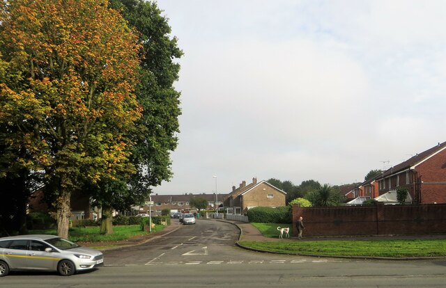
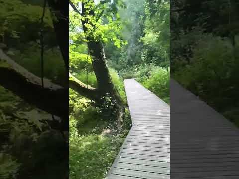
The hill is characterized by its gentle slopes and lush greenery, making it an ideal spot for leisurely walks and outdoor activities. Its elevation provides panoramic vistas of the surrounding countryside, including the neighboring towns of Stockport and Cheadle. On clear days, it is even possible to catch glimpses of the Manchester city skyline in the distance.
Gatley Hill's natural beauty is enhanced by the presence of several native plant species, such as heather and bilberry, which contribute to its diverse ecosystem. The hill also boasts a rich history, with evidence of human habitation dating back to the Bronze Age. Archaeological excavations have unearthed various artifacts and remains, offering insights into the lives of ancient communities that once inhabited the area.
In recent years, Gatley Hill has become a popular destination for locals seeking a tranquil escape from urban life. Its accessibility and well-maintained paths make it an attractive location for walking, jogging, and cycling enthusiasts. Additionally, the hill is often used as a venue for community events, such as outdoor concerts and festivals, further highlighting its significance as a social and recreational hub.
Overall, Gatley Hill stands as a cherished natural landmark in Cheshire, offering a combination of scenic beauty, historical significance, and recreational opportunities for all to enjoy.
If you have any feedback on the listing, please let us know in the comments section below.
Gatley Hill Images
Images are sourced within 2km of 53.388761/-2.2396917 or Grid Reference SJ8488. Thanks to Geograph Open Source API. All images are credited.


![Delta House, Wavell Road, Manchester An interesting Y-shaped 1960s office block, the upper storeys above a hexagonal ground floor.
I would have tried to get a closer look, but the &quot;ISO27001-compliant building has some of the most sophisticated security of any data centre in Europe ... with an on-site police-linked, NSI Gold Approved, BS5979 certified control room and alarm receiving centre [it is] unique in the UK. ...biometric access controls, virtual tripwires, visitor turnstiles and man-traps, and full-height perimeter fencing provide multiple layers of physical security.&quot; Operated by Teledata UK Ltd.](https://s0.geograph.org.uk/geophotos/07/57/16/7571684_3af7842c.jpg)


Gatley Hill is located at Grid Ref: SJ8488 (Lat: 53.388761, Lng: -2.2396917)
Unitary Authority: Stockport
Police Authority: Greater Manchester
What 3 Words
///miles.famous.lived. Near Didsbury, Manchester
Nearby Locations
Related Wikis
Gatley
Gatley is a suburb in the Metropolitan Borough of Stockport, Greater Manchester, England, 3 miles north-east of Manchester Airport. == History == ��3...

Wythenshawe F.C.
Wythenshawe Football Club is a football club based in Wythenshawe, Manchester, England. They are currently members of the North West Counties League Premier...
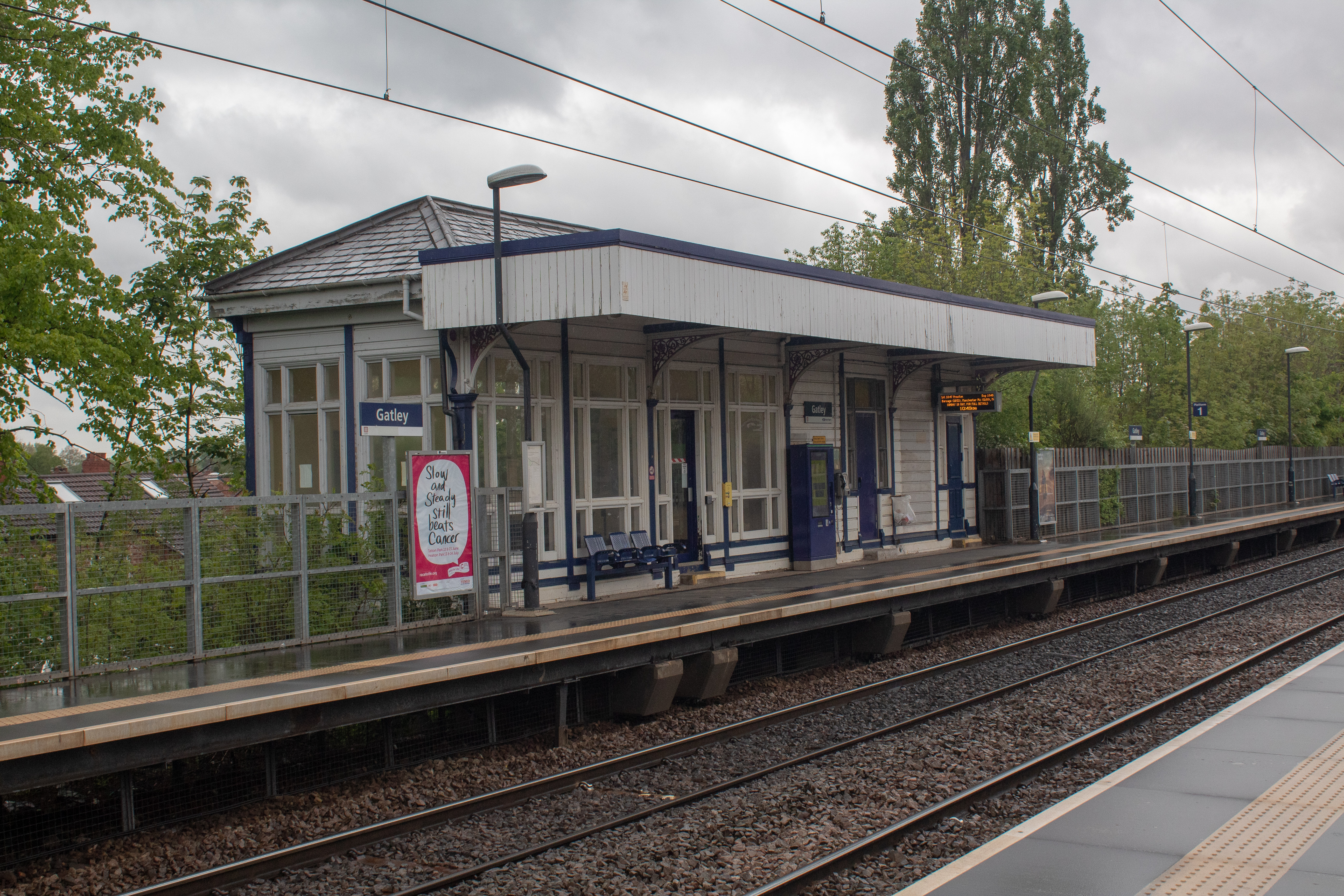
Gatley railway station
Gatley railway station is on the Styal Line in Greater Manchester, England. It serves the village of Gatley in the Metropolitan Borough of Stockport....
Stockport Etchells
Stockport Etchells was a township in Cheshire, England. == Geography == Stockport Etchells covered the rural area that includes modern-day Gatley and Heald...
Related Videos

Didsbury UK Walking Tour Few Days Before Lockdown Eases
Day out at the Parsonage Gardens and a tour of the street shop.


Walking around the end of the troublesome hill at Mile Post 2 1/2 on the old Cheadle Branch!
Walking around the end of the troublesome hill at Mile Post 2 1/2 on the old Cheadle Branch in Staffordshire.
Nearby Amenities
Located within 500m of 53.388761,-2.2396917Have you been to Gatley Hill?
Leave your review of Gatley Hill below (or comments, questions and feedback).