Height How
Hill, Mountain in Yorkshire Richmondshire
England
Height How
Height How is a prominent hill located in the county of Yorkshire, England. Rising to an elevation of 372 meters (1,220 feet), it is considered one of the highest points in the region, making it a popular destination for outdoor enthusiasts and hikers seeking breathtaking panoramic views of the surrounding countryside.
Situated in the North York Moors National Park, Height How offers a diverse landscape characterized by rolling hills, vast moorland, and picturesque valleys. The hill itself is covered in heather and grass, providing a rich habitat for a variety of flora and fauna. Its slopes are fairly steep, offering a moderate challenge for those venturing to its summit, and its exposed nature means that it can be subject to strong winds.
From the top of Height How, visitors are rewarded with stunning vistas that stretch as far as the eye can see. On clear days, it is possible to see the North Sea to the east and the Pennines to the west. The hill also offers magnificent views of the neighboring hills and dales, including the iconic Roseberry Topping and the Cleveland Hills.
Access to Height How is available through well-marked trails and footpaths that wind their way through the surrounding countryside. The hill is a popular destination for walkers, nature lovers, and photographers seeking to capture the beauty of the North York Moors. Whether it is a leisurely stroll or a more challenging hike, Height How promises an unforgettable experience for all who visit.
If you have any feedback on the listing, please let us know in the comments section below.
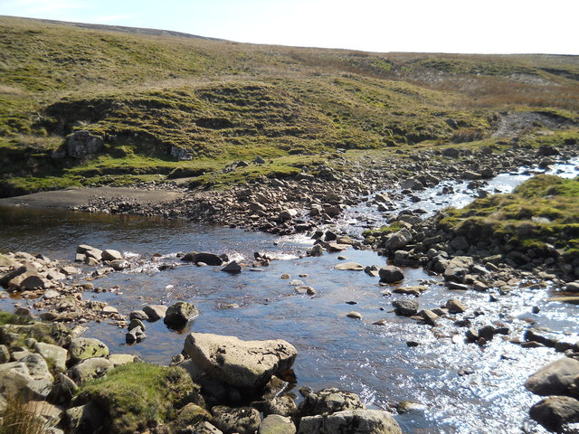
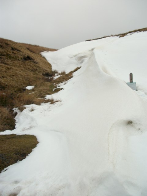
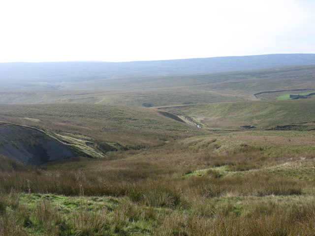
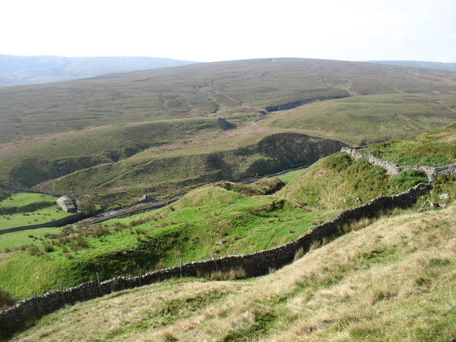
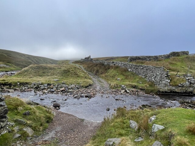
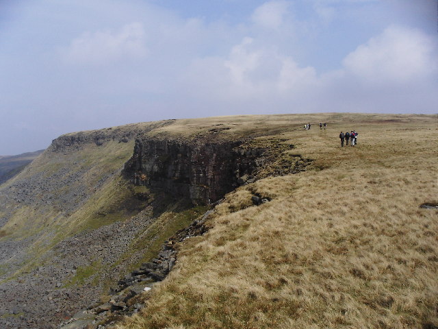
Height How Images
Images are sourced within 2km of 54.414799/-2.2455055 or Grid Reference NY8402. Thanks to Geograph Open Source API. All images are credited.


Height How is located at Grid Ref: NY8402 (Lat: 54.414799, Lng: -2.2455055)
Division: North Riding
Administrative County: North Yorkshire
District: Richmondshire
Police Authority: North Yorkshire
What 3 Words
///gums.searching.waged. Near Kirkby Stephen, Cumbria
Nearby Locations
Related Wikis

Birkdale, North Yorkshire
Birkdale (sometimes written out as Birk Dale) is a dale in the Yorkshire Dales National Park, in North Yorkshire, England. It lies at the far western end...
High Seat (Yorkshire Dales)
High Seat is a fell in the dale of Mallerstang, Cumbria. With a summit at 709 metres (2,326 ft), it is the fourth highest fell in the Yorkshire Dales...

Wain Wath Force
Wain Wath Force is a waterfall on the River Swale in the Yorkshire Dales National Park, North Yorkshire, England. The falls are at grid reference NY883015...

Gregory Chapel
Gregory Chapel is one of the high points of the fells on the border between Cumbria and North Yorkshire. The summit is marked by a nearby sheep shelter...
Nearby Amenities
Located within 500m of 54.414799,-2.2455055Have you been to Height How?
Leave your review of Height How below (or comments, questions and feedback).