Keighley
Settlement in Yorkshire
England
Keighley
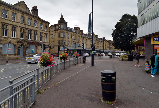
Keighley is a historic town located in West Yorkshire, England. Situated at the confluence of the River Aire and River Worth, it lies approximately 11 miles northwest of Bradford and 10 miles east of the famous Yorkshire Dales National Park. With a population of around 57,000 people, Keighley is the third-largest civil parish in England.
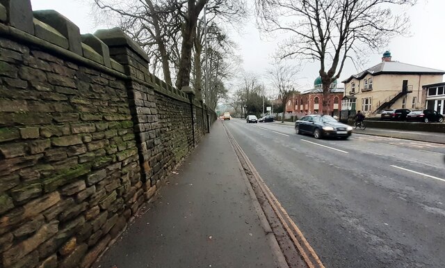
The town has a rich industrial heritage, particularly in the textile industry, where it played a significant role during the Industrial Revolution. Keighley was known for its thriving wool and cotton mills, which brought prosperity to the area. Today, remnants of this industrial past can still be seen in the form of heritage mills and Victorian architecture that dot the town's landscape.
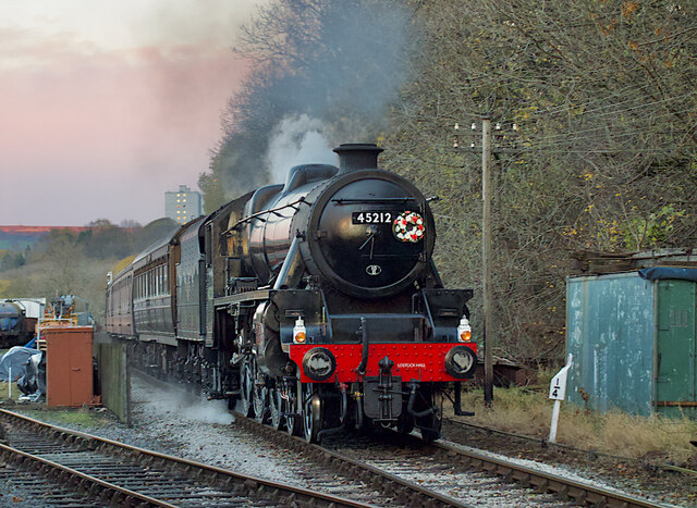
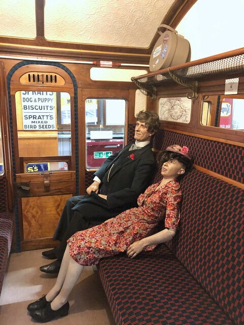
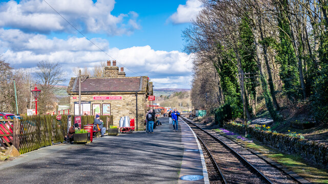
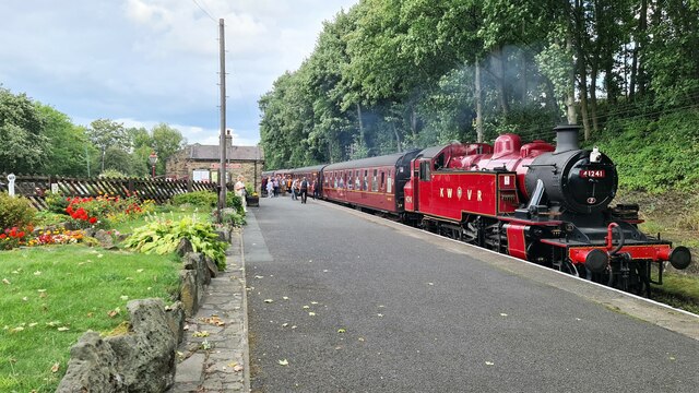
Keighley offers a range of amenities and attractions for both residents and visitors. The Keighley and Worth Valley Railway, a preserved heritage railway, is a major tourist draw. It operates steam trains on a five-mile stretch between Keighley and Oxenhope, offering a nostalgic experience. The town also boasts Cliffe Castle Museum, housed in a stunning Victorian mansion, which showcases local history and art.
The surrounding natural beauty of the Yorkshire Dales provides ample opportunities for outdoor enthusiasts, with scenic walking trails, cycling routes, and stunning landscapes just a short distance away. Additionally, Keighley is known for its vibrant local markets, where visitors can browse a variety of stalls offering fresh produce, crafts, and other goods.
Overall, Keighley is a town steeped in history and natural beauty, offering a combination of industrial heritage, cultural attractions, and access to the stunning Yorkshire Dales.
If you have any feedback on the listing, please let us know in the comments section below.
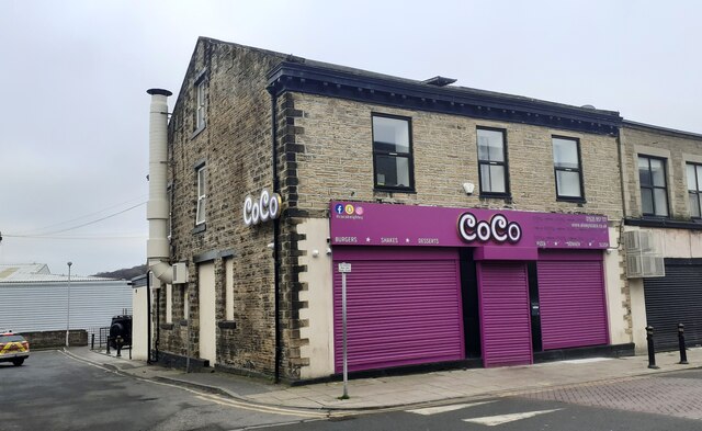
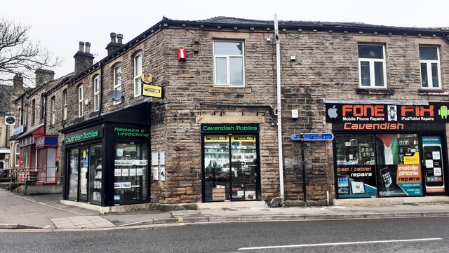
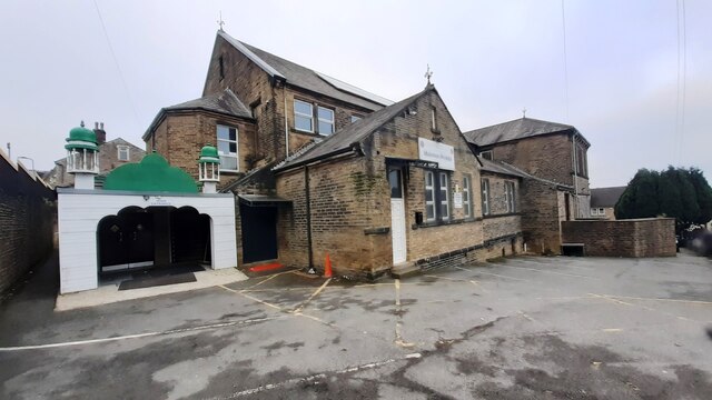
Keighley Images
Images are sourced within 2km of 53.868771/-1.903398 or Grid Reference SE0641. Thanks to Geograph Open Source API. All images are credited.


Keighley is located at Grid Ref: SE0641 (Lat: 53.868771, Lng: -1.903398)
Division: West Riding
Unitary Authority: Bradford
Police Authority: West Yorkshire
What 3 Words
///envy.discrepancy.remove. Near Keighley, West Yorkshire
Nearby Locations
Related Wikis

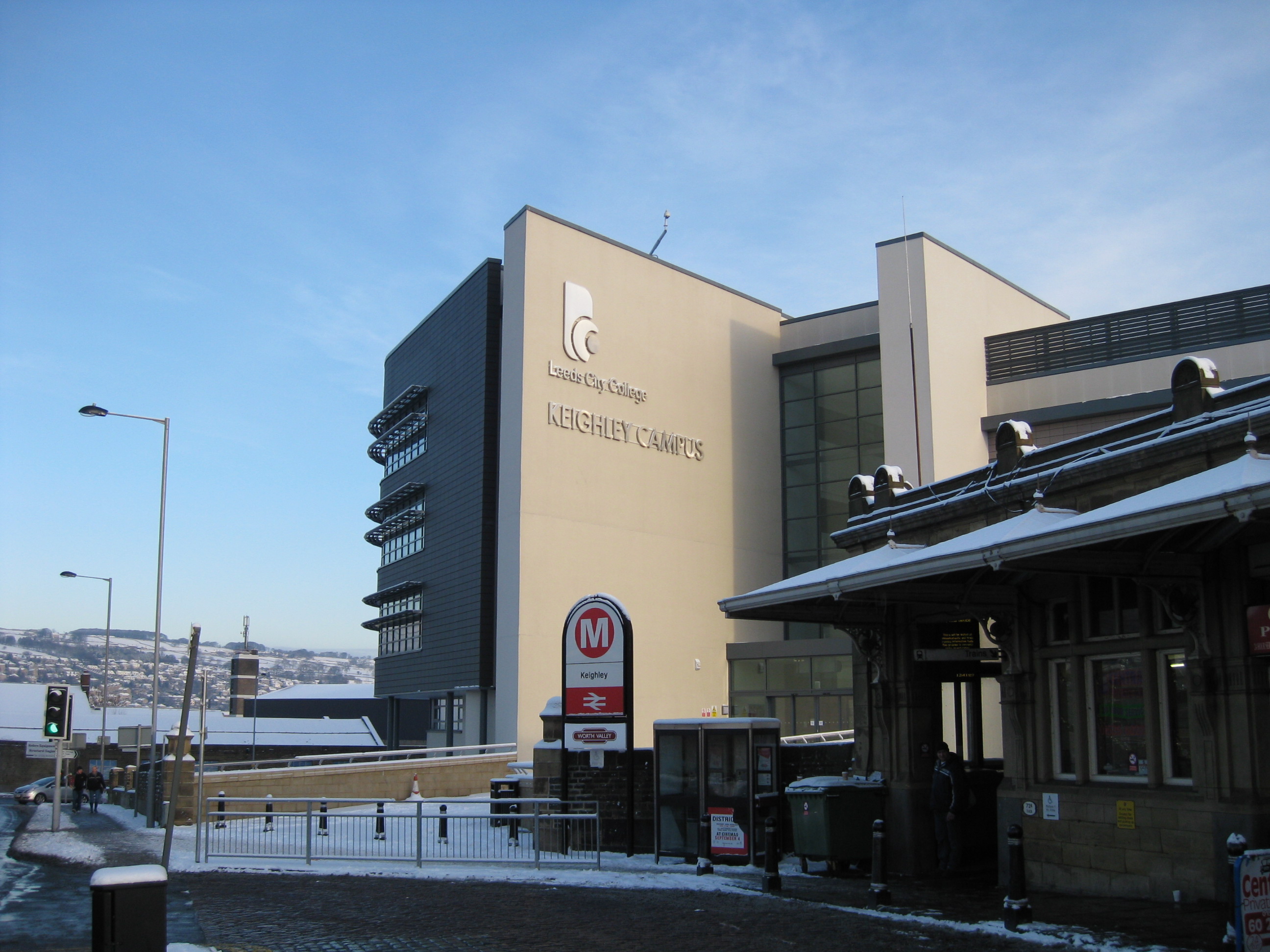
Keighley railway station
Keighley railway station serves the town of Keighley in West Yorkshire, England. The station is located on the Airedale line, with electric services to...
Keighley College
Keighley College is a further education college in Keighley, West Yorkshire, England. It traces its origins to Keighley Mechanics' Institute, founded in...

Keighley Central
Keighley Central is a ward in City of Bradford Metropolitan District Council in the county of West Yorkshire, England. Its population is 16,276 as per...

Low Mill
Low Mill is a former textile mill in Keighley, West Yorkshire, England. It was the first industrial building in Keighley, and the first mill in Yorkshire...

Aire Valley Fault
The Aire Valley Fault (also known as the Keighley Fault) is an inactive strike slip fault in Yorkshire, England. It is considered a northwestern continuation...
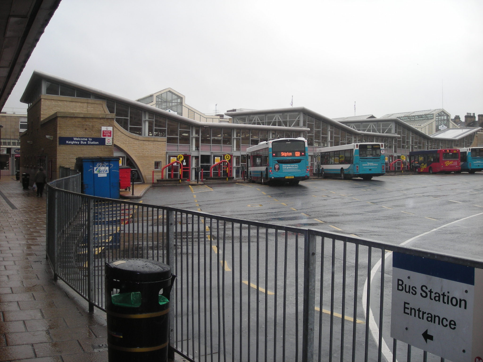
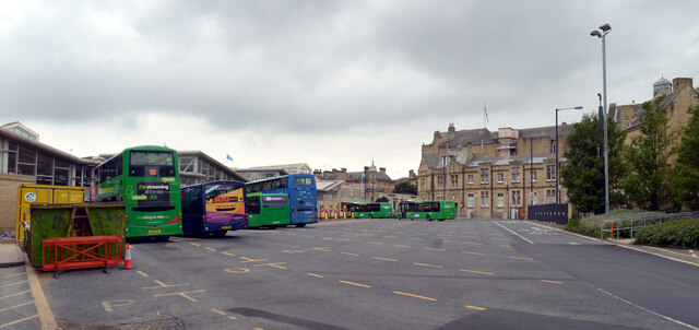
Keighley bus station
Keighley bus station serves the town of Keighley, West Yorkshire, England. The bus station is owned and managed by Metro. == History == The bus station...

Keighley Town Hall
Keighley Town Hall is an early 20th century municipal building in Keighley, West Yorkshire, England. It is a Grade II listed building. == History == After...

Keighley Picture House
Keighley Picture House is a cinema located in Keighley, West Yorkshire, England. It opened in 1913 as a receiving house theatre which also showed films...
Nearby Amenities
Located within 500m of 53.868771,-1.903398Have you been to Keighley?
Leave your review of Keighley below (or comments, questions and feedback).