Worms Hill
Hill, Mountain in Cheshire
England
Worms Hill
Worms Hill, located in Cheshire, England, is a prominent geological feature that rises to an elevation of approximately 125 meters (410 feet) above sea level. It is classified as a hill rather than a mountain due to its modest height. Situated in the village of Acton Bridge, Worms Hill is nestled within the picturesque countryside of Cheshire, surrounded by rolling green hills and lush farmland.
The hill itself is composed mainly of sandstone, a sedimentary rock formed millions of years ago. The sandstone provides a sturdy foundation for the hill, which has been shaped over time by natural processes such as erosion and weathering. Its distinct shape and gentle slopes make it a popular destination for hikers and nature enthusiasts.
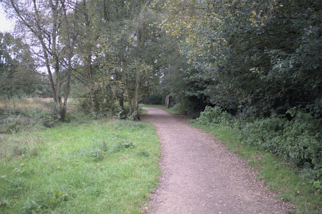
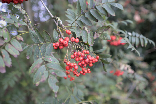
Worms Hill offers breathtaking panoramic views of the surrounding countryside and the River Weaver, which meanders through the area. The hill is covered in a patchwork of fields and hedgerows, providing a habitat for various flora and fauna. Visitors to Worms Hill can expect to encounter a diverse range of wildlife, including birds, rabbits, and other small mammals.
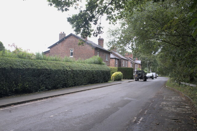
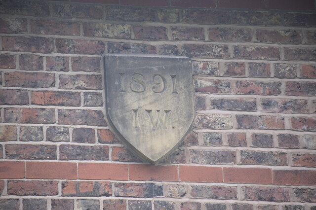
Access to Worms Hill is relatively easy, with footpaths and trails leading to the summit. Along the way, walkers may pass through charming villages and historic landmarks, such as the nearby Acton Bridge Railway Station, which dates back to the mid-19th century. Whether for a leisurely stroll or a more challenging hike, Worms Hill offers a tranquil and scenic escape for those seeking to explore the natural beauty of Cheshire.
If you have any feedback on the listing, please let us know in the comments section below.
Worms Hill Images
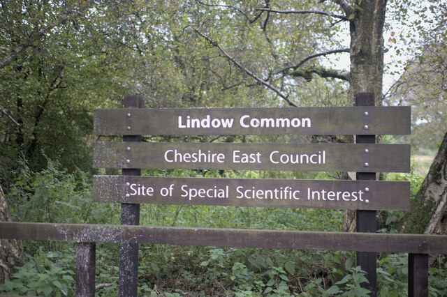
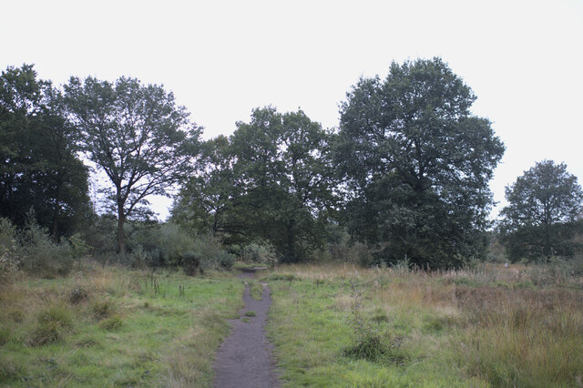
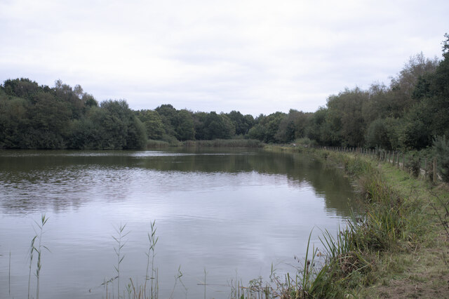
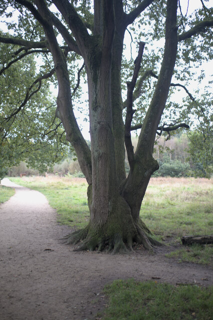
Images are sourced within 2km of 53.342043/-2.2415621 or Grid Reference SJ8482. Thanks to Geograph Open Source API. All images are credited.


Worms Hill is located at Grid Ref: SJ8482 (Lat: 53.342043, Lng: -2.2415621)
Unitary Authority: Cheshire East
Police Authority: Cheshire
What 3 Words
///falls.locate.woke. Near Wilmslow, Cheshire
Nearby Locations
Related Wikis

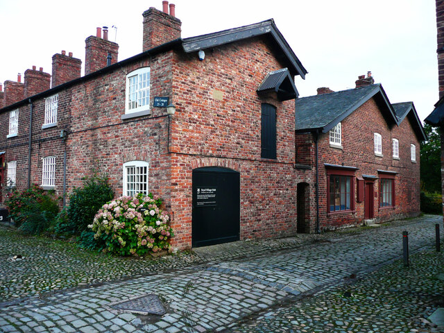
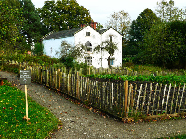
Styal Cottage Homes
Styal Cottage Homes were open from October 1898 to 1956 and housed destitute children from the Manchester area. They were established in Styal by the...
HM Prison Styal
HM Prison Styal is a Closed Category prison for female adults and young offenders in Styal, Cheshire, England. The prison is operated by His Majesty's...

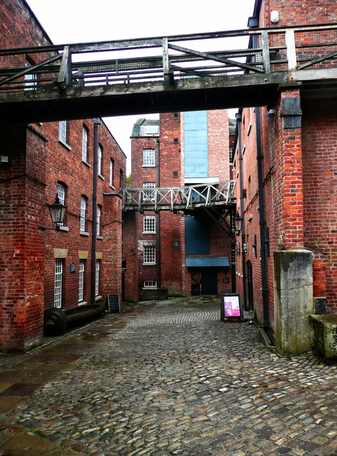
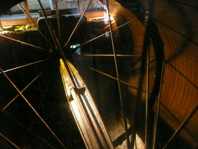
Quarry Bank Mill
Quarry Bank Mill (also known as Styal Mill) in Styal, Cheshire, England, is one of the best preserved textile factories of the Industrial Revolution....
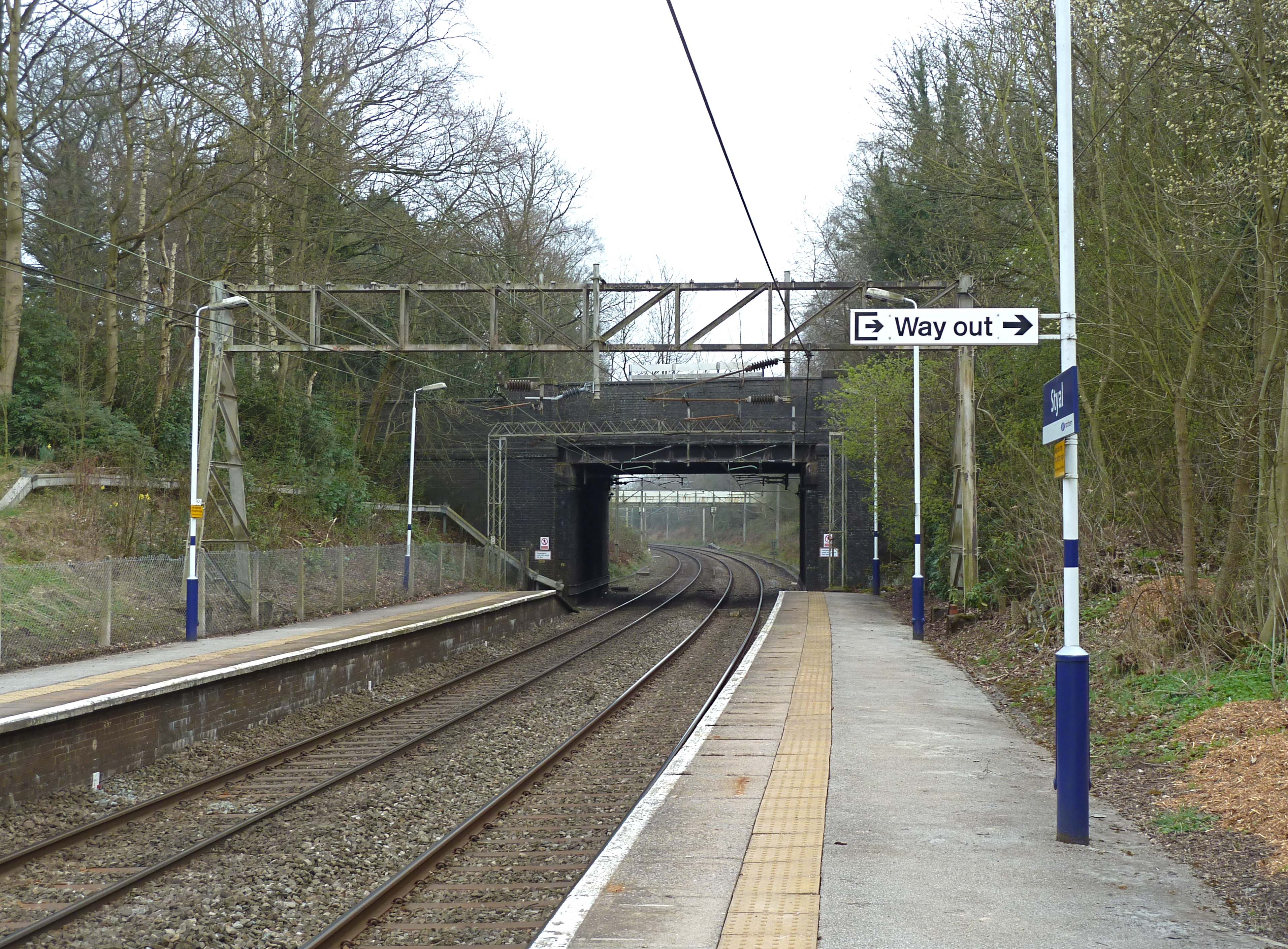
Styal railway station
Styal railway station is near Manchester Airport in Cheshire, England. == History == The station was opened in 1909 with the construction of the line from...
Nearby Amenities
Located within 500m of 53.342043,-2.2415621Have you been to Worms Hill?
Leave your review of Worms Hill below (or comments, questions and feedback).