Swindon Hill

Hill, Mountain in Roxburghshire

Scotland

Swindon Hill

Old milestone This milestone, about ½ mile from the end of tarmac at Cocklawfoot used to stand much higher.   In 2019 it was reported lying fully exposed on the banking on the opposite side of the road.   Fortunately it has been set back on its correct side, the east, although well sunken.   This stone has H/11½ on its left face with the mileage under the soil level.   KELSO, sloping upwards, with 15, not visible, is on the right.  It was hoped that there might be more milestones on the track, Clennell Street, over to Alwinton and Harbottle but none were found on the 2½ mile walk up to the border with England.
Old milestone Credit: Chris Minto

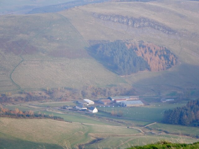
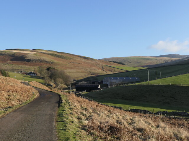
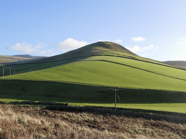
Swindon Hill is a prominent natural landmark located in Roxburghshire, Scotland. Situated within the scenic Scottish Borders region, this hill is known for its impressive elevation and stunning panoramic views of the surrounding countryside.

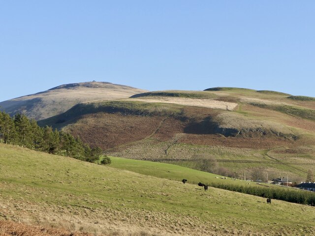
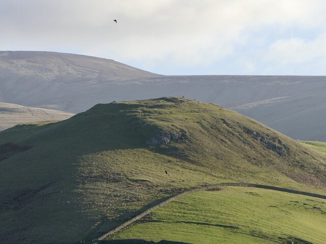
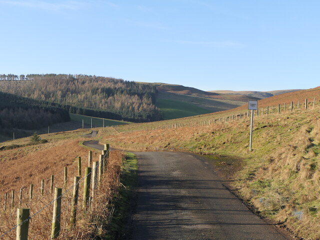
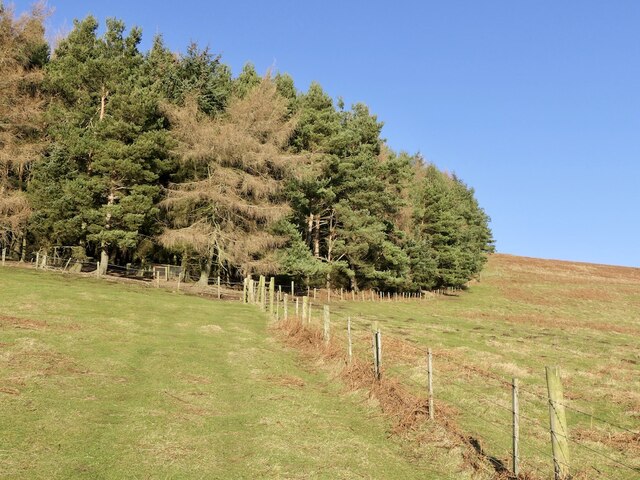
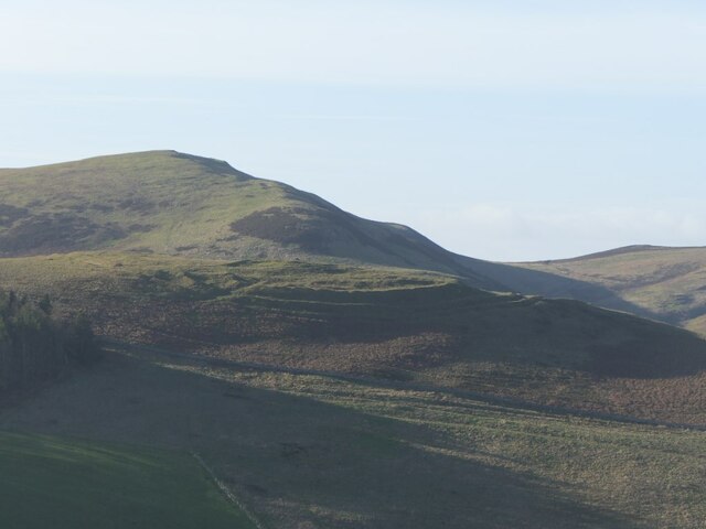
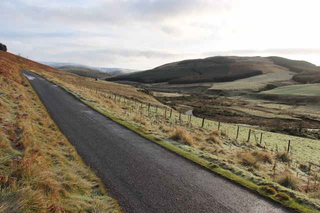
Standing at an approximate height of 420 meters (1,378 feet), Swindon Hill is classified as a hill rather than a mountain. Despite this, its commanding presence and distinct shape make it a notable feature in the local landscape. The hill is composed of rugged terrain and is predominantly covered in grass and heather, giving it a picturesque appearance that is characteristic of the Scottish countryside.

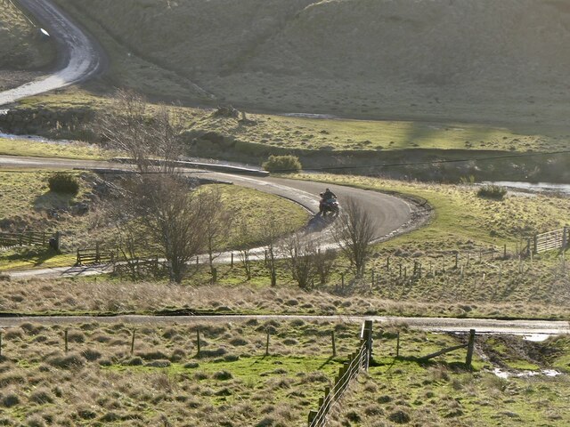
Swindon Hill is a popular destination for outdoor enthusiasts and nature lovers, offering numerous walking and hiking trails for visitors to explore. These trails provide opportunities to immerse oneself in the natural beauty of the area, with sightings of wildlife such as deer and various bird species being common.

The hill's strategic location also grants visitors breathtaking vistas of the nearby towns and villages. On clear days, the summit of Swindon Hill offers unobstructed views of the rolling hills, meandering rivers, and lush green valleys that make up the Roxburghshire region.

In addition to its natural beauty, Swindon Hill holds historical significance. The hill is said to have been used as a lookout point during ancient times, allowing inhabitants to survey the surrounding land for any potential threats or opportunities.

Overall, Swindon Hill is a captivating natural landmark in Roxburghshire, Scotland, offering visitors both natural beauty and a glimpse into the region's rich history.

If you have any feedback on the listing, please let us know in the comments section below.
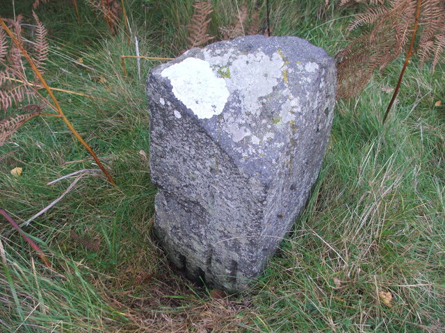
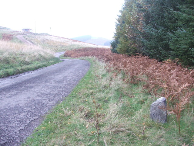
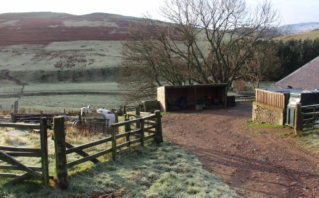
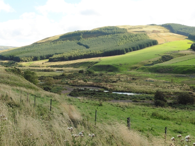
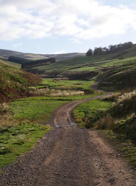
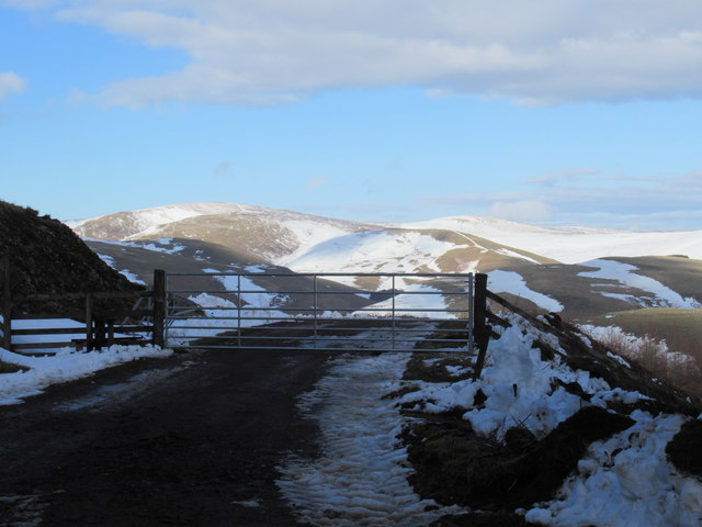
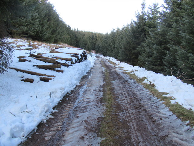
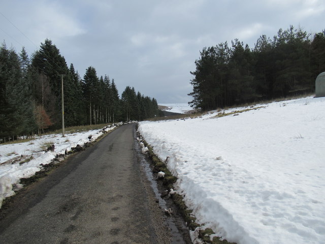
Swindon Hill Images

Images are sourced within 2km of 55.463182/-2.2542609 or Grid Reference NT8418. Thanks to Geograph Open Source API. All images are credited.

Old milestone This milestone, about ½ mile from the end of tarmac at Cocklawfoot used to stand much higher.   In 2019 it was reported lying fully exposed on the banking on the opposite side of the road.   Fortunately it has been set back on its correct side, the east, although well sunken.   This stone has H/11½ on its left face with the mileage under the soil level.   KELSO, sloping upwards, with 15, not visible, is on the right.  It was hoped that there might be more milestones on the track, Clennell Street, over to Alwinton and Harbottle but none were found on the 2½ mile walk up to the border with England.
Old milestone
This milestone, about ½ mile from the end of tarmac at Cocklawfoot used to stand much higher. In 2019 it was reported lying fully exposed on the banking on the opposite side of the road. Fortunately it has been set back on its correct side, the east, although well sunken. This stone has H/11½ on its left face with the mileage under the soil level. KELSO, sloping upwards, with 15, not visible, is on the right. It was hoped that there might be more milestones on the track, Clennell Street, over to Alwinton and Harbottle but none were found on the 2½ mile walk up to the border with England.
Old milestone A view looking northwards up the Bowmont Water valley with the Kelso 15 milestone on the verge.
Old milestone
A view looking northwards up the Bowmont Water valley with the Kelso 15 milestone on the verge.
Calroust View from Craik Moor.
Calroust
View from Craik Moor.
Road to Sourhope
Road to Sourhope
Park Law A spur above the Bowmont Water with a hill fort at the summit.
Park Law
A spur above the Bowmont Water with a hill fort at the summit.
Road to Cocklawfoot
Road to Cocklawfoot
Cattle, Sourhope
Cattle, Sourhope
Park Law hill fort View across Sourhope Burn with the slopes of The Cheviot in the background.
Park Law hill fort
View across Sourhope Burn with the slopes of The Cheviot in the background.
Road from Sourhope The way out, down the Bowmont Water.
Road from Sourhope
The way out, down the Bowmont Water.
Plantation, Bught Stack Above the Bowmont Water.
Plantation, Bught Stack
Above the Bowmont Water.
The Castles One of the many earthworks and hill forts along the Bowmont Water.
The Castles
One of the many earthworks and hill forts along the Bowmont Water.
Bowmont Water Valley at Swindon
Swindon A farm on Bowmont Water.
Swindon
A farm on Bowmont Water.
Swindon Haugh and the forested slopes of Swindon Hill In the upper Bowmont valley.
Swindon Haugh and the forested slopes of Swindon Hill
In the upper Bowmont valley.
The track to Calroust Hopehead A track heading into one of the many small valleys penetrating the Cheviot range.
The track to Calroust Hopehead
A track heading into one of the many small valleys penetrating the Cheviot range.
Gateway out of forest near Cocklawfoot, Kelso Snowfields on western aspects courtesy of 'The Beast from the East'- a week or so of bitter easterlies out of Siberia so dubbed by the media. A reversal of the jet stream consequent to sudden warming at stratospheric level (at 30km there was a 50c temperature rise) saw Siberian air push across the North Atlantic as far as Greenland.
Gateway out of forest near Cocklawfoot, Kelso
Snowfields on western aspects courtesy of 'The Beast from the East'- a week or so of bitter easterlies out of Siberia so dubbed by the media. A reversal of the jet stream consequent to sudden warming at stratospheric level (at 30km there was a 50c temperature rise) saw Siberian air push across the North Atlantic as far as Greenland.
Forest track at Blackcock Hole by Cocklawfoot, Kelso Snow newly cleared - timber operations imminent!
Forest track at Blackcock Hole by Cocklawfoot, Kelso
Snow newly cleared - timber operations imminent!
Snowy road to Cocklawfoot, Kelso
Show me another place!

Swindon Hill is located at Grid Ref: NT8418 (Lat: 55.463182, Lng: -2.2542609)

Unitary Authority: The Scottish Borders

Police Authority: The Lothians and Scottish Borders

What 3 Words

///issuer.friend.waistcoat. Near Kirknewton, Northumberland

Related Wikis

Mowhaugh

Mowhaugh is a hamlet and farm steading near the Calroust Burn and the Bowmont Water, near Morebattle, in the Scottish Borders area of Scotland, and in...

Windy Gyle

Windy Gyle is a mountain in the Cheviot Hills range, on the border between England and Scotland. Like the other hills in the area, it is rounded and grass...

Hownam

Hownam or Hounam is a small village and parish situated 8 miles east of Jedburgh in the Scottish Borders area of Scotland, near the Anglo-Scottish border...

Cheviot Hills

The Cheviot Hills (), or sometimes The Cheviots, are a range of uplands straddling the Anglo-Scottish border between Northumberland and the Scottish Borders...

Related Videos

Windy Gyle - The Hill on the Border | Scotland to England | The Donalds

This week sees Alistair and Douglas heading south - all the way to the border! Windy Gyle is in the Cheviots and lies astride the ...

Nearby Amenities

Located within 500m of 55.463182,-2.2542609
Swindon Hill
Natural: peak
Lat/Long: 55.4628497/-2.2544288
Natural: peak
Lat/Long: 55.4605773/-2.2532994
The data included in this document is from www.openstreetmap.org. The data is made available under ODbL.

Have you been to Swindon Hill?

Leave your review of Swindon Hill below (or comments, questions and feedback).