Bale Hill

Hill, Mountain in Yorkshire Ribble Valley

England

Bale Hill

One man and his dog Man and dog work together to move the sheep from one pasture to the next.
One man and his dog Credit: Phil and Juliette Platt

Bale Hill is a prominent hill located in the Yorkshire Dales, England. Situated in the western part of the Yorkshire Dales National Park, it forms part of the Pennines, a range of hills and mountains stretching across Northern England. With an elevation of 607 meters (1,991 feet), Bale Hill is classified as a Marilyn, a term used to describe hills and mountains in the British Isles with a prominence of at least 150 meters (492 feet).

The hill is known for its distinctive shape, characterized by a broad and flat summit, making it an easily identifiable landmark in the area. It offers stunning panoramic views of the surrounding countryside, including the picturesque valleys and rolling hills of the Yorkshire Dales. On a clear day, one can even catch glimpses of the distant Lake District and the North York Moors.

Bale Hill is a popular destination among hikers and outdoor enthusiasts. There are multiple routes to reach the summit, including paths that start from the nearby village of Thwaite. The ascent can be challenging, especially in adverse weather conditions, but the reward is well worth the effort. The hill provides a tranquil and serene environment, allowing visitors to immerse themselves in the natural beauty of the Yorkshire Dales.

Overall, Bale Hill is a remarkable landmark in Yorkshire, offering breathtaking views and a memorable hiking experience for those who venture to its summit.

If you have any feedback on the listing, please let us know in the comments section below.
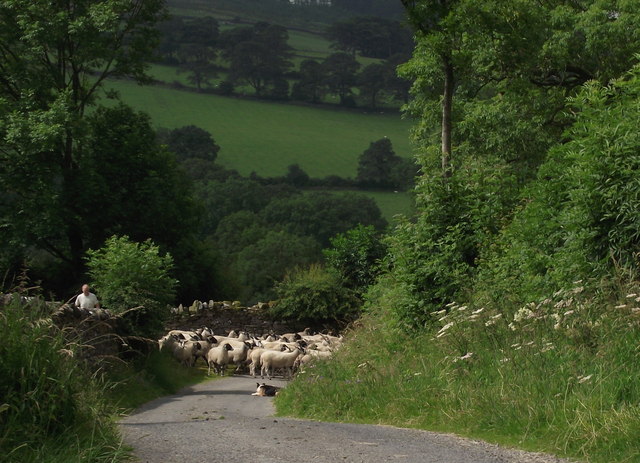
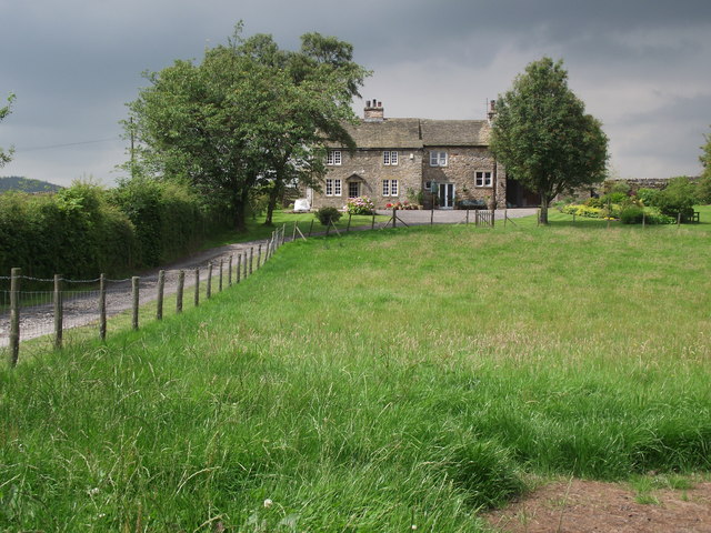
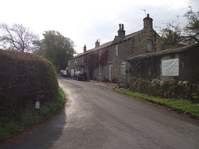
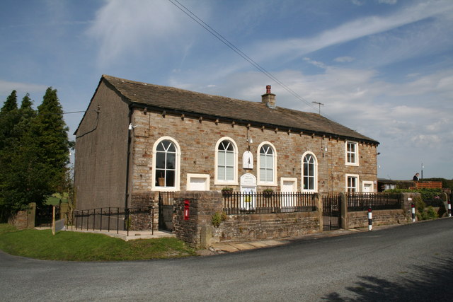
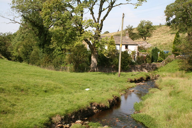
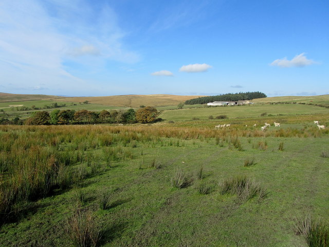
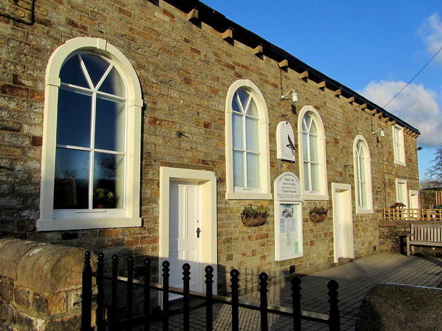
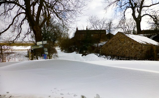
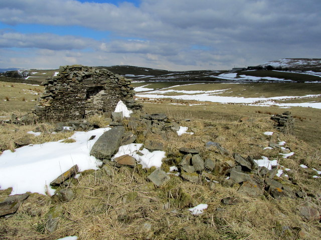
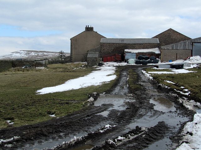
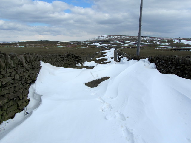
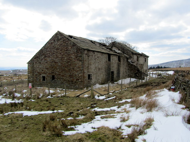
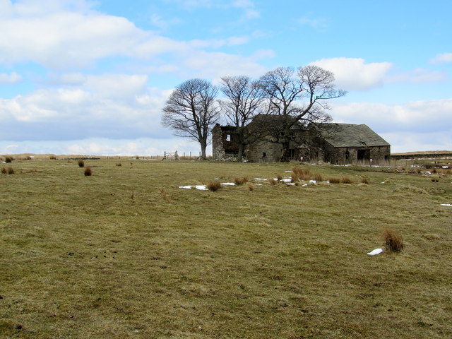
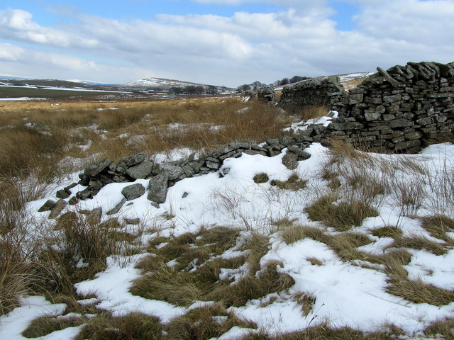
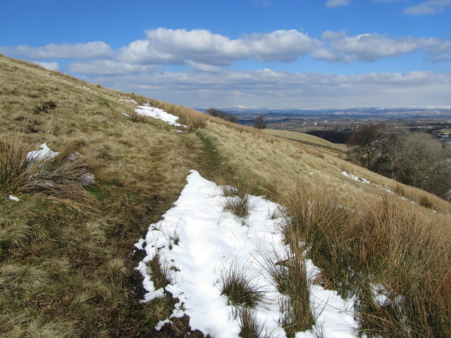
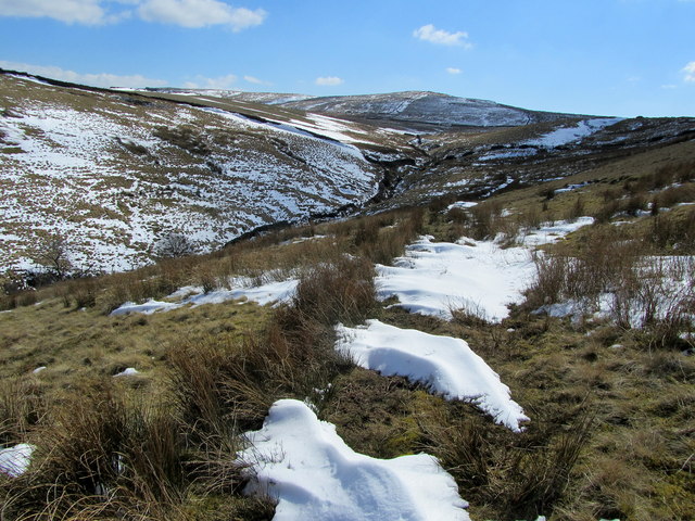
Bale Hill Images

Images are sourced within 2km of 53.891973/-2.2581154 or Grid Reference SD8344. Thanks to Geograph Open Source API. All images are credited.

One man and his dog Man and dog work together to move the sheep from one pasture to the next.
One man and his dog
Man and dog work together to move the sheep from one pasture to the next.
Hill Top Farmhouse Grade two listed building - and no wonder!
Hill Top Farmhouse
Grade two listed building - and no wonder!
Cottages on Martin Top Lane At the junction of Stopper Lane and Martin Top Lane.
Cottages on Martin Top Lane
At the junction of Stopper Lane and Martin Top Lane.
Rimington:  Salem Congregational  Chapel Built in 1861.  The far end of the building is actually the manse, while a small Sunday School (out of view) adjoins the far end.  The chapel is still in use.  The road in front of the chapel has the name 'Long Lover's Lane', which must rank high in my order of favourite road names, after Hull's 'Land of Green Ginger'.
Rimington: Salem Congregational Chapel
Built in 1861. The far end of the building is actually the manse, while a small Sunday School (out of view) adjoins the far end. The chapel is still in use. The road in front of the chapel has the name 'Long Lover's Lane', which must rank high in my order of favourite road names, after Hull's 'Land of Green Ginger'.
The Ancient Border - lest we forget This small stream is Ings Beck and along it runs the ancient boundary between Lancashire (Twiston Parish) and Yorkshire (Rimington Parish).  But in 1974, faceless timeservers in Whitehall tampered with boundaries so that now both these parishes are administered by Lancashire County Council.  The cottage is, by rights, just in Yorkshire.  Its name is Mines Cottage, reflecting small scale lead mining activity that once took place at the York and Lancaster Mine, which was just on the Yorkshire side of the beck, beyond the cottage. There was also another small lead mine at Skeleron, just a little further down the beck. Also, even further down, but on the Lancashire side this time, there was once a barytes mine.  Barytes is actually barium sulphate, and is very rare - I know of no other barytes mine in Lancashire or Yorkshire.
The Ancient Border - lest we forget
This small stream is Ings Beck and along it runs the ancient boundary between Lancashire (Twiston Parish) and Yorkshire (Rimington Parish). But in 1974, faceless timeservers in Whitehall tampered with boundaries so that now both these parishes are administered by Lancashire County Council. The cottage is, by rights, just in Yorkshire. Its name is Mines Cottage, reflecting small scale lead mining activity that once took place at the York and Lancaster Mine, which was just on the Yorkshire side of the beck, beyond the cottage. There was also another small lead mine at Skeleron, just a little further down the beck. Also, even further down, but on the Lancashire side this time, there was once a barytes mine. Barytes is actually barium sulphate, and is very rare - I know of no other barytes mine in Lancashire or Yorkshire.
View towards Mountain Farm View over upland and rough pasture towards Mountain Farm on Higher Black Moss
View towards Mountain Farm
View over upland and rough pasture towards Mountain Farm on Higher Black Moss
Salem Congregational Chapel at Martin Top The chapel and manse living quarters are combined in one building.
Salem Congregational Chapel at Martin Top
The chapel and manse living quarters are combined in one building.
Series of Gates at Ox Close Farm Three gates lead into a muddy trackway - one of them allowing a public footpath from the fields to enter the confines of the farmyard
Series of Gates at Ox Close Farm
Three gates lead into a muddy trackway - one of them allowing a public footpath from the fields to enter the confines of the farmyard
Road Block By Drifting Snow Near  Lower Gate Three miles to Barley but it looks like nobody had attempted to drive down this minor road for at least 48 hours.  I managed to turn around a headed back to Chatburn over a few minor drifts.
Road Block By Drifting Snow Near Lower Gate
Three miles to Barley but it looks like nobody had attempted to drive down this minor road for at least 48 hours. I managed to turn around a headed back to Chatburn over a few minor drifts.
Ruins of Craven Laithe The ordnance survey map shows two "Craven Laithes" within close proximity to each other - the other is a substantial farm.
This one is the remains of a stone barn, with barely one wall left standing.
Ruins of Craven Laithe
The ordnance survey map shows two "Craven Laithes" within close proximity to each other - the other is a substantial farm. This one is the remains of a stone barn, with barely one wall left standing.
Footpath between Craven Laithe and Craven Laithe The title is not a misprint.  This is part of the path from the farm called Craven Laithe to the ruins of a stone barn also called Craven Laithe, before it continues onto the A682 Gisburn/Nelson Road.
Footpath between Craven Laithe and Craven Laithe
The title is not a misprint. This is part of the path from the farm called Craven Laithe to the ruins of a stone barn also called Craven Laithe, before it continues onto the A682 Gisburn/Nelson Road.
Craven Laithe The Ordnance Survey shows two "Craven Laithes" within close proximity to each other - this one a substantial hill farm. Close by to the north is a ruined stone barn also called Craven Laithe.
Craven Laithe
The Ordnance Survey shows two "Craven Laithes" within close proximity to each other - this one a substantial hill farm. Close by to the north is a ruined stone barn also called Craven Laithe.
Snow Drift at Craven Laithe Piled up snow blocks one exit from the farm buildings at Craven Laithe
Snow Drift at Craven Laithe
Piled up snow blocks one exit from the farm buildings at Craven Laithe
Firber House Ruined farmhouse that lies in isolation on Twiston Moor - subject to the whims of nature as it slowly crumbles into dereliction.
Firber House
Ruined farmhouse that lies in isolation on Twiston Moor - subject to the whims of nature as it slowly crumbles into dereliction.
Approaching the Ruins of Firber House They stand alone and neglected on the expanses of Twiston Moor.
Approaching the Ruins of Firber House
They stand alone and neglected on the expanses of Twiston Moor.
Below Jackson Slack Hill Scene at the western base of Jackson Slack Hill - Moorland, reeds and broken dry stone walls.
Below Jackson Slack Hill
Scene at the western base of Jackson Slack Hill - Moorland, reeds and broken dry stone walls.
On Bale Hill Footpath contouring around the flanks of Bale Hill, above Tory Log Clough.
On Bale Hill
Footpath contouring around the flanks of Bale Hill, above Tory Log Clough.
View from Bale Hill Looking south from the flanks of Bale Hill, over Tory Log Clough towards Wheathead Height.
View from Bale Hill
Looking south from the flanks of Bale Hill, over Tory Log Clough towards Wheathead Height.
Show me another place!

Bale Hill is located at Grid Ref: SD8344 (Lat: 53.891973, Lng: -2.2581154)

Division: West Riding

Administrative County: Lancashire

District: Ribble Valley

Police Authority: Lancashire

What 3 Words

///ends.delved.haystack. Near Barnoldswick, Lancashire

Related Wikis

Middop

Middop is a rural hamlet and civil parish in Lancashire, England. It is in Ribble Valley district. Middop is near the villages of Rimington and Gisburn...

Twiston

Twiston is a village and a civil parish in the Ribble Valley District, in the English county of Lancashire. It is near the town of Clitheroe and the village...

Black Moss Reservoirs

Upper and Lower Black Moss Reservoirs are reservoirs close to the village of Barley, in the Borough of Pendle, close to the market town of Burnley, England...

Weets Hill

Weets Hill is a hill in the West Craven area of Pendle, Lancashire, England. It is 2+1⁄2 miles (4.0 km) south-west of the town of Barnoldswick and is 4...

Have you been to Bale Hill?

Leave your review of Bale Hill below (or comments, questions and feedback).