Round Hill

Hill, Mountain in Worcestershire Wyre Forest

England

Round Hill

Spennells Valley Nature Reserve A nature reserve situated within an extensive housing development. Picture taken looking west into the reserve from grid reference SO84790 75310, a few metres west of the A448.
Spennells Valley Nature Reserve Credit: Martyn B

Round Hill is a prominent hill located in Worcestershire, England. Situated in the Malvern Hills Area of Outstanding Natural Beauty, it is a popular destination for both locals and tourists alike. Rising to an elevation of approximately 425 meters (1,394 feet), it offers breathtaking panoramic views of the surrounding countryside.

The hill is characterized by its rounded shape, which is believed to have been formed by glacial action during the last Ice Age. Its summit is covered with grassland and scattered with rocks, providing an ideal spot for picnics and leisurely walks. The diverse flora and fauna found here make it a haven for nature enthusiasts and photographers, with an abundance of wildflowers, insects, and bird species to be discovered.

Round Hill is easily accessible by foot, with several well-marked trails leading to its summit. One of the most popular routes is the Worcestershire Beacon Walk, which passes through stunning landscapes and offers stunning views of the surrounding countryside. Along the way, visitors can also explore other notable landmarks such as the Iron Age British Camp and the Herefordshire Beacon.

The hill is also steeped in history, with evidence of human activity dating back thousands of years. Archaeological finds suggest that it was once used as a burial site during the Bronze Age. Additionally, Round Hill played a significant role in the defense of the region during the Civil War, as it provided an advantageous vantage point for monitoring enemy movements.

Overall, Round Hill in Worcestershire is a remarkable natural landmark that offers a perfect blend of scenic beauty, outdoor activities, and historical significance.

If you have any feedback on the listing, please let us know in the comments section below.
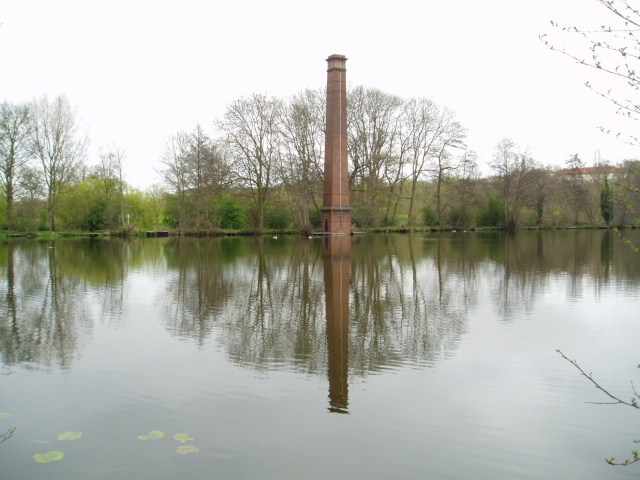
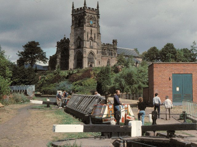
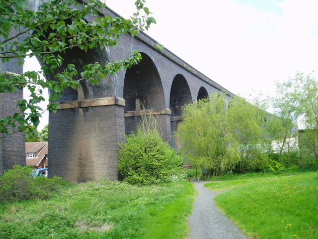
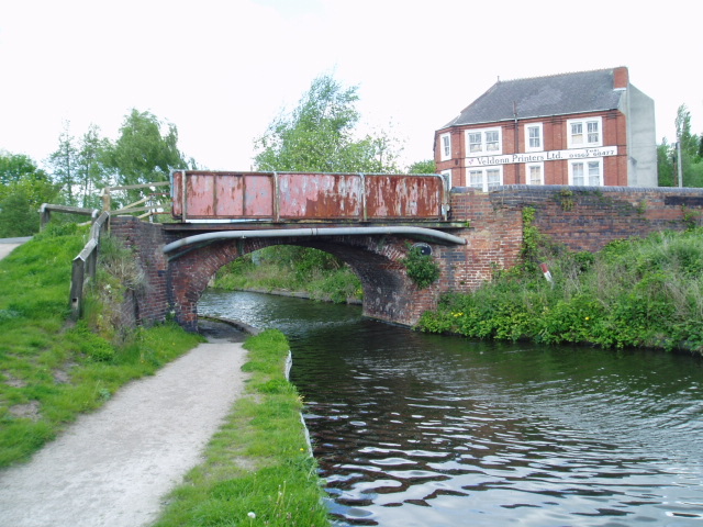
Round Hill Images

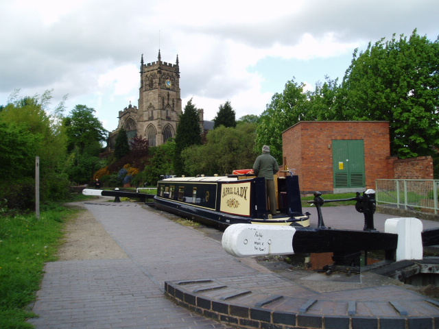
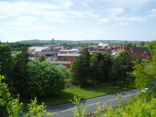
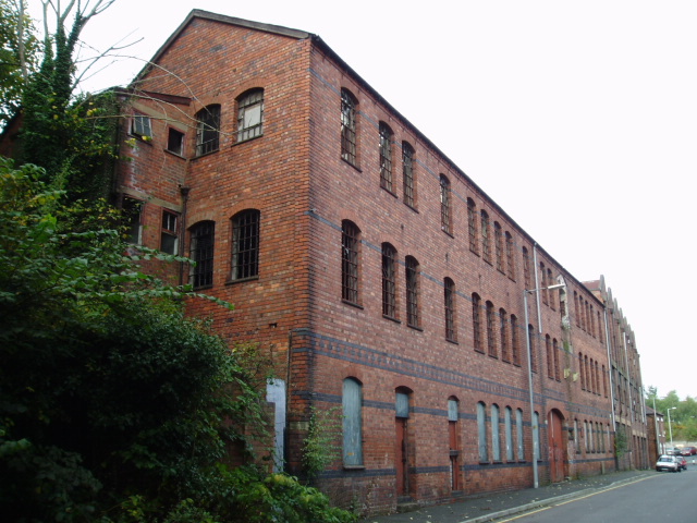
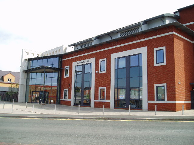
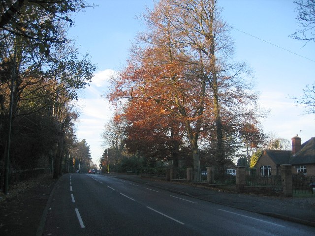
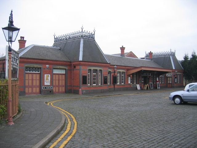
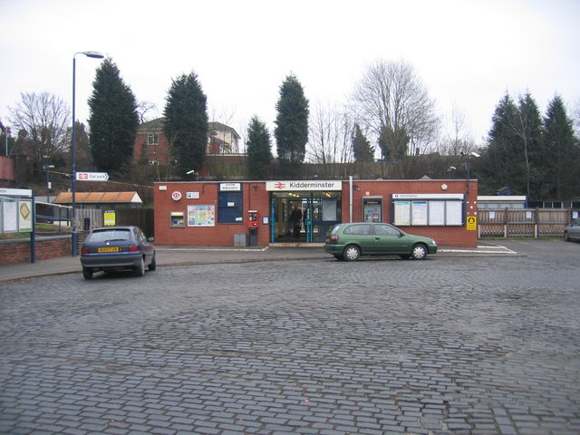
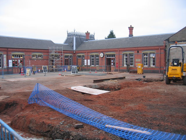
Images are sourced within 2km of 52.38115/-2.2537463 or Grid Reference SO8275. Thanks to Geograph Open Source API. All images are credited.

Spennells Valley Nature Reserve A nature reserve situated within an extensive housing development. Picture taken looking west into the reserve from grid reference SO84790 75310, a few metres west of the A448.
Spennells Valley Nature Reserve
A nature reserve situated within an extensive housing development. Picture taken looking west into the reserve from grid reference SO84790 75310, a few metres west of the A448.
Caldwall Bridge, Staffs.& Worcs. Canal Caldwall Lock has a split iron bridge to accommodate the rope in days of horse-drawn narrowboats. The sandstone cliff behind the lock is geologically interesting, being the southern tip of a bed of similar rock which stretches some 15 miles north. The picture was taken from grid reference SO 82765 75549.
Caldwall Bridge, Staffs.& Worcs. Canal
Caldwall Lock has a split iron bridge to accommodate the rope in days of horse-drawn narrowboats. The sandstone cliff behind the lock is geologically interesting, being the southern tip of a bed of similar rock which stretches some 15 miles north. The picture was taken from grid reference SO 82765 75549.
Falling Sands Lock, Staffs.& Worcs. Canal The picture shows the canal at a point close to the River Stour, the course of which can be seen running almost parallel to the canal. The Stour was navigable in the 18th century to a point a few hundred metres downstream from where the picture was taken, at SO 82774 74520.
Falling Sands Lock, Staffs.& Worcs. Canal
The picture shows the canal at a point close to the River Stour, the course of which can be seen running almost parallel to the canal. The Stour was navigable in the 18th century to a point a few hundred metres downstream from where the picture was taken, at SO 82774 74520.
Severn Valley & mainline railways, Kidderminster Looking South from the footbridge at SO 83727 75926, a steam train slowly makes its way along the last few hundred metres into the Severn Valley railway station in Kidderminster. On the left is the main line between Kidderminster & Worcester. Towards the top right of the picture is the back of the stand at Kidderminster Harriers Football Club.
Severn Valley & mainline railways, Kidderminster
Looking South from the footbridge at SO 83727 75926, a steam train slowly makes its way along the last few hundred metres into the Severn Valley railway station in Kidderminster. On the left is the main line between Kidderminster & Worcester. Towards the top right of the picture is the back of the stand at Kidderminster Harriers Football Club.
Stack Pool, Kidderminster The chimney built at the edge of the pool can be identified on the 1:25,000 map as the small dot on the north bank of the main pool. Picture taken from SO 83389 77754.
Stack Pool, Kidderminster
The chimney built at the edge of the pool can be identified on the 1:25,000 map as the small dot on the north bank of the main pool. Picture taken from SO 83389 77754.
Kidderminster Kidderminster Lock on the Staffordshire and Worcestershire Canal.
Kidderminster
Kidderminster Lock on the Staffordshire and Worcestershire Canal.
Viaduct, Kidderminster The viaduct carrying the Kidderminster to Worcester mainline railway over the main A449 at Chester Road South, on the south side of Kidderminster. Picture taken from the public footpath alongside the railway at SO 8371 7464.
Viaduct, Kidderminster
The viaduct carrying the Kidderminster to Worcester mainline railway over the main A449 at Chester Road South, on the south side of Kidderminster. Picture taken from the public footpath alongside the railway at SO 8371 7464.
Limekiln Bridge, Staffs & Worcs. Canal, Kidderminster Any evidence of a Limekiln has long since vanished, and clearly, the bridge has enjoyed better days. Some of the upper brickwork on both sides has been replaced by the rather unattractive metal sheeting.
Limekiln Bridge, Staffs & Worcs. Canal, Kidderminster
Any evidence of a Limekiln has long since vanished, and clearly, the bridge has enjoyed better days. Some of the upper brickwork on both sides has been replaced by the rather unattractive metal sheeting.
Kidderminster Lock 2005 It is interesting to compare this shot with David's, taken some 15 years earlier. A great deal of time and money has been recently been spent improving the overall condition of the canal and towpath in this area. The electricity sub-station looks uncannily similar to how it did all those years ago.
Kidderminster Lock 2005
It is interesting to compare this shot with David's, taken some 15 years earlier. A great deal of time and money has been recently been spent improving the overall condition of the canal and towpath in this area. The electricity sub-station looks uncannily similar to how it did all those years ago.
Kidderminster Taken from the minor road at SO 83515 76309, the photograph depicts the view looking north-west across the town centre of Kidderminster. This is a view which has changed considerably over the past four years during which time some of the former carpet factories have made way for new retail developments. Much of the town’s layout  differs from its current representation on the OS map : the bus station and law courts now occupy different sites, and the river has been re-routed in order to accommodate a super-market car park.
Kidderminster
Taken from the minor road at SO 83515 76309, the photograph depicts the view looking north-west across the town centre of Kidderminster. This is a view which has changed considerably over the past four years during which time some of the former carpet factories have made way for new retail developments. Much of the town’s layout differs from its current representation on the OS map : the bus station and law courts now occupy different sites, and the river has been re-routed in order to accommodate a super-market car park.
Dilapidated warehouse Situated just outside the newly developed part of Kidderminster, this dilapidated warehouse patiently awaits its fate. Refurbishment perhaps, a renovated exterior housing state of the art offices, or the final death knell, demolition, to make way for housing ? Watch this space !
Dilapidated warehouse
Situated just outside the newly developed part of Kidderminster, this dilapidated warehouse patiently awaits its fate. Refurbishment perhaps, a renovated exterior housing state of the art offices, or the final death knell, demolition, to make way for housing ? Watch this space !
Kidderminster Magistrates Court The new Magistrates Court building is situated in Comberton Place, just below the Severn Valley Railway station.
Kidderminster Magistrates Court
The new Magistrates Court building is situated in Comberton Place, just below the Severn Valley Railway station.
Sutton Park Road This is a busy local road to skirting the west of Kidderminster, seen looking NW with a low sun catching what remains of the autumn leaves.
Sutton Park Road
This is a busy local road to skirting the west of Kidderminster, seen looking NW with a low sun catching what remains of the autumn leaves.
Kidderminster Town Station This is the southern terminus of the Severn Valley Railway <span class="nowrap"><a title="http://www.svr.org.uk" rel="nofollow ugc noopener" href="http://www.svr.org.uk">Link</a><img style="margin-left:2px;" alt="External link" title="External link - shift click to open in new window" src="https://s1.geograph.org.uk/img/external.png" width="10" height="10"/></span> , not to be confused with the more modest affair next door <a href="https://www.geograph.org.uk/photo/118927">SO8376 : Kidderminster (Network Rail) Station</a> .  Despite appearances the station building was only constructed in 1986 and is a classic Great Western Railway design modelled on the now closed Ross on Wye station <span class="nowrap"><a title="http://www.ross-on-wye.com/index.php?page=ross_541-Old_pictures_and_photos_from_Ross&pg=1" rel="nofollow ugc noopener" href="http://www.ross-on-wye.com/index.php?page=ross_541-Old_pictures_and_photos_from_Ross&pg=1">Link</a><img style="margin-left:2px;" alt="External link" title="External link - shift click to open in new window" src="https://s1.geograph.org.uk/img/external.png" width="10" height="10"/></span> on the former Gloucester to Hereford line. Details such as the roof crestings and the porte cochere (the canopy over the entrance) have been added over the years through the work of The Friends of Kidderminster Station <span class="nowrap"><a title="http://www.kfriends.org.uk" rel="nofollow ugc noopener" href="http://www.kfriends.org.uk">Link</a><img style="margin-left:2px;" alt="External link" title="External link - shift click to open in new window" src="https://s1.geograph.org.uk/img/external.png" width="10" height="10"/></span> .  Extension work is currently in progress by the SVR to extend the station building with another wing and a canopy over the concourse <a href="https://www.geograph.org.uk/photo/118931">SO8376 : Building work at Kidderminster Town Station</a>.
Kidderminster Town Station
This is the southern terminus of the Severn Valley Railway LinkExternal link , not to be confused with the more modest affair next door SO8376 : Kidderminster (Network Rail) Station . Despite appearances the station building was only constructed in 1986 and is a classic Great Western Railway design modelled on the now closed Ross on Wye station LinkExternal link on the former Gloucester to Hereford line. Details such as the roof crestings and the porte cochere (the canopy over the entrance) have been added over the years through the work of The Friends of Kidderminster Station LinkExternal link . Extension work is currently in progress by the SVR to extend the station building with another wing and a canopy over the concourse SO8376 : Building work at Kidderminster Town Station.
Kidderminster (Network Rail) Station The small modern building on the main line at Kidderminster.  This replaced a grand black and white timber framed building which was demolished in the 1960s as being beyond repair. Looking at the modern replacement building it is hardly surprising that it is not unknown for intending passengers to mistakenly go to the much more traditional Severn Valley Railway station <a href="https://www.geograph.org.uk/photo/118920">SO8376 : Kidderminster Town Station</a> next door to try and by their main line tickets!
Kidderminster (Network Rail) Station
The small modern building on the main line at Kidderminster. This replaced a grand black and white timber framed building which was demolished in the 1960s as being beyond repair. Looking at the modern replacement building it is hardly surprising that it is not unknown for intending passengers to mistakenly go to the much more traditional Severn Valley Railway station SO8376 : Kidderminster Town Station next door to try and by their main line tickets!
Building work at Kidderminster Town Station Work in progress to build a second wing to the SVR <span class="nowrap"><a title="http://www.svr.org.uk" rel="nofollow ugc noopener" href="http://www.svr.org.uk">Link</a><img style="margin-left:2px;" alt="External link" title="External link - shift click to open in new window" src="https://s1.geograph.org.uk/img/external.png" width="10" height="10"/></span> station building (seen from the front in <a href="https://www.geograph.org.uk/photo/118920">SO8376 : Kidderminster Town Station</a>) and to add a traditional Great Western Railway style canopy covering the concourse area within. The next stage of construction can be seen in <a href="https://www.geograph.org.uk/photo/134319">SO8376 : New Canopy at Kidderminster Town Station</a>
Building work at Kidderminster Town Station
Work in progress to build a second wing to the SVR LinkExternal link station building (seen from the front in SO8376 : Kidderminster Town Station) and to add a traditional Great Western Railway style canopy covering the concourse area within. The next stage of construction can be seen in SO8376 : New Canopy at Kidderminster Town Station
Kidderminster Town Station forecourt A few of the incidental items in the forecourt of <a href="https://www.geograph.org.uk/photo/118920">SO8376 : Kidderminster Town Station</a>.  The blue shed was a coal merchant's office as a reminder that until the new station was constructed in the early 1980s, this was actually the goods & coalyard of Kidderminster main line station.  The green Bundy time clock was originally used on the Birmingham Tramways for accurate time recording and was once a common sight at strategic points on the streets around the network.  The example was moved here and recommissioned on this site by The Friends of Kidderminster Station <span class="nowrap"><a title="http://www.kfriends.org.uk/" rel="nofollow ugc noopener" href="http://www.kfriends.org.uk/">Link</a><img style="margin-left:2px;" alt="External link" title="External link - shift click to open in new window" src="https://s1.geograph.org.uk/img/external.png" width="10" height="10"/></span> in 2001.
Kidderminster Town Station forecourt
A few of the incidental items in the forecourt of SO8376 : Kidderminster Town Station. The blue shed was a coal merchant's office as a reminder that until the new station was constructed in the early 1980s, this was actually the goods & coalyard of Kidderminster main line station. The green Bundy time clock was originally used on the Birmingham Tramways for accurate time recording and was once a common sight at strategic points on the streets around the network. The example was moved here and recommissioned on this site by The Friends of Kidderminster Station LinkExternal link in 2001.
Wrangaton Signal Box The signal box formerly at Wrangaton SX680574 on the ex-GWR West of England main line was carefully dismantled after closure and is now being faithfully reconstructed at the Kidderminster Railway Museum as an example of a typical GWR signal box.
Wrangaton Signal Box
The signal box formerly at Wrangaton SX680574 on the ex-GWR West of England main line was carefully dismantled after closure and is now being faithfully reconstructed at the Kidderminster Railway Museum as an example of a typical GWR signal box.
Show me another place!

Round Hill is located at Grid Ref: SO8275 (Lat: 52.38115, Lng: -2.2537463)

Administrative County: Worcestershire

District: Wyre Forest

Police Authority: West Mercia

What 3 Words

///remote.cake.years. Near Kidderminster, Worcestershire

Nearby Locations

Round Hill Foley Park

Related Wikis

Caldwall Castle

Caldwall Castle, also spelt Caldwell Castle and now known as Caldwall Tower, is a former manor house in the town of Kidderminster in Worcestershire, England...

Kidderminster College

Kidderminster College is a post 16 Comprehensive College in Kidderminster, England providing full and part-time adult education. The College offers courses...

Museum of Carpet

The Museum of Carpet is a textile museum in the town of Kidderminster in Worcestershire, England. == History == A Carpet Museum Trust was founded in 1981...

Military Wireless Museum in the Midlands

The Military Wireless Museum is a private museum operated from Kidderminster, Worcestershire which displays a collection of military wireless equipment...

Nearby Amenities

Located within 500m of 52.38115,-2.2537463
Seamark Type: gate
Waterway: lock_gate
Lat/Long: 52.3777841/-2.2547899
Seamark Type: gate
Waterway: lock_gate
Lat/Long: 52.377996/-2.2547754
Bus Stop
New Road
Bus: yes
Naptan AtcoCode: 2000G000298
Naptan Bearing: N
Naptan CommonName: New Road
Naptan Indicator: Northbound
Naptan NaptanCode: wocdwtjg
Naptan PlusbusZoneRef: KDRMNST
Naptan Street: New Road
Naptan Verified: no
Public Transport: platform
Source: naptan_import
Lat/Long: 52.3830552/-2.2491446
Bus Stop
New Road
Bus: yes
Naptan AtcoCode: 2000G000299
Naptan Bearing: N
Naptan CommonName: New Road
Naptan Indicator: Adj
Naptan Landmark: Dixon Street
Naptan NaptanCode: wocdwtjm
Naptan PlusbusZoneRef: KDRMNST
Naptan Street: Dixon Street
Naptan Verified: no
Public Transport: platform
Source: naptan_import
Lat/Long: 52.3830497/-2.248966
Bus Stop
Cobham Road
Bus: yes
Naptan AtcoCode: 2000G103094
Naptan Bearing: S
Naptan CommonName: Cobham Road
Naptan Crossing: Cobham Road
Naptan Indicator: Adj
Naptan NaptanCode: wocgmpad
Naptan PlusbusZoneRef: KDRMNST
Naptan Street: Worcester Road
Naptan Verified: no
Public Transport: platform
Source: naptan_import
Lat/Long: 52.3788007/-2.2503907
Bus Stop
Cobham Road
Bus: yes
Naptan AtcoCode: 2000G103097
Naptan Bearing: N
Naptan CommonName: Cobham Road
Naptan Crossing: Cobham Road
Naptan Indicator: Opp
Naptan NaptanCode: wocgmpam
Naptan PlusbusZoneRef: KDRMNST
Naptan Street: Worcester Road
Naptan Verified: no
Public Transport: platform
Source: naptan_import
Lat/Long: 52.377999/-2.250653
Bus Stop
Worcester Road Island
Bus: yes
Naptan AtcoCode: 2000G502469
Naptan Bearing: W
Naptan CommonName: Worcester Road Island
Naptan Indicator: Westbound
Naptan Landmark: Worcester Road Island
Naptan NaptanCode: wocgmjat
Naptan PlusbusZoneRef: KDRMNST
Naptan Street: Stourport Road
Naptan Verified: no
Public Transport: platform
Source: naptan_import
Lat/Long: 52.3799898/-2.2535267
Bus Stop
Worcester Road Island
Bus: yes
Naptan AtcoCode: 2000G502493
Naptan Bearing: E
Naptan CommonName: Worcester Road Island
Naptan Indicator: Eastbound
Naptan Landmark: Worcester Road Island
Naptan NaptanCode: wocgmpwp
Naptan PlusbusZoneRef: KDRMNST
Naptan Street: Stourport Road
Naptan Verified: no
Public Transport: platform
Source: naptan_import
Lat/Long: 52.3802328/-2.2533958
Note: Water conservation (anti-vandal) key required for operation of lock.
Lat/Long: 52.3778865/-2.2547829
Telephone
Booth: KX100
Covered: booth
Note: e-mail; text
Payment Coins: yes
Source: gps_survey
Lat/Long: 52.3836399/-2.2491323
Crossing
Crossing Island: yes
Lat/Long: 52.3795101/-2.2554285
Grit Bin
Lat/Long: 52.3788462/-2.2559043
Grit Bin
Lat/Long: 52.3835374/-2.2584201
Mini Roundabout
Direction: clockwise
Lat/Long: 52.3824734/-2.2529806
Post Box
Brand: Royal Mail
Brand Wikidata: Q638098
Brand Wikipedia: en:Royal Mail
Collection Times: Mo-Fr 09:00; Sa 07:00
Drive Through: no
Operator: Royal Mail
Operator Wikidata: Q638098
Post Box Design: type_b
Post Box Type: wall
Ref: DY11 40D
Royal Cypher: VR
Royal Cypher Wikidata: Q33102356
Lat/Long: 52.3848625/-2.2567021
Castle Road Motors
Shop: car_repair
Lat/Long: 52.3843276/-2.2533951
Grit Bin
Lat/Long: 52.3823637/-2.253557
Grit Bin
Ref: 152
Lat/Long: 52.3812655/-2.258399
Pub
The Castle Inn
Lat/Long: 52.3836686/-2.2518546
Talbot Street
Power: substation
Ref: 5725
Lat/Long: 52.3813052/-2.260912
Caldwall Crescent
Power: substation
Ref: 0707769
Lat/Long: 52.3824028/-2.2534929
Grit Bin
Ref: 150
Lat/Long: 52.3839715/-2.2519192
Grit Bin
Lat/Long: 52.3826008/-2.2542855
Post Box
Brand: Post Office
Brand Wikidata: Q1783168
Brand Wikipedia: en:Post Office Ltd
Operator: Post Office
Operator Wikidata: Q1783168
Post Box Type: wall
Ref: DY11 34
Royal Cypher: VR
Royal Cypher Wikidata: Q33102356
Lat/Long: 52.3839939/-2.2519392
Hume Street
Power: substation
Ref: 8337
Lat/Long: 52.3832842/-2.2590392
Caldwall Tower
Historic: memorial
Inscription: Caldwall Tower, 14th Century, Kidderminster's oldest secular building
Memorial: blue_plaque
Memorial Plaque Colour: blue
Operator: Kidderminster Civic Society
Lat/Long: 52.3838179/-2.24985
Barrier: bollard
Bicycle: yes
Foot: yes
Lat/Long: 52.378934/-2.2576181
The Wrens
Disused Amenity: pub
Lat/Long: 52.3795419/-2.2560795
Barrier: bollard
Lat/Long: 52.3799559/-2.2549335
Crossing
Lat/Long: 52.3849424/-2.2502118
Post Box
Collection Plate: CP1
Collection Times: Mo-Fr 18:30; Sa 11:45
Post Box Design: indoor_pillar
Post Box Type: pillar
Ref: DY11 625
Royal Cypher: EIIR
Royal Cypher Wikidata: Q33102113
Source: survey;memory
Lat/Long: 52.3844847/-2.2507153
Waste Disposal
Lat/Long: 52.3821805/-2.2523866
Crossing
Lat/Long: 52.3805922/-2.2480938
Crossing
Lat/Long: 52.3809574/-2.2481151
Crossing
Lat/Long: 52.3809853/-2.2482029
Crossing
Crossing: traffic_signals
Crossing Ref: toucan
Lat/Long: 52.3825847/-2.247878
Post Box
Ref: DY10 54
Lat/Long: 52.3788513/-2.25038
Fast Food
Anatolia Pizza & Kebab House
Phone: +44 1562 754555
Website: https://www.anatoliapizzahouse.co.uk/
Lat/Long: 52.3832397/-2.2475153
Nightclub
Nubu
Source: survey
Lat/Long: 52.3833782/-2.2481359
Cinema
Lume Cinema
Addr Postcode: DY10 1JF
Addr Street: Green Street
Contact Facebook: https://www.facebook.com/lumecinema/
Phone: 01562 219042
Screen: 4
Source: survey
Website: https://www.lumecinema.com
Lat/Long: 52.3819202/-2.2487266
Man Made: street_cabinet
Ref: 5047
Street Cabinet: traffic_signals
Lat/Long: 52.3825712/-2.2479495
Traffic Signals
Source: survey
Traffic Signals Direction: forward
Lat/Long: 52.3834538/-2.2486861
Traffic Signals
Source: survey
Lat/Long: 52.3835297/-2.2484127
Traffic Signals
Source: survey
Traffic Signals Direction: forward
Lat/Long: 52.383648/-2.2488987
Traffic Signals
Source: survey
Traffic Signals Direction: backward
Lat/Long: 52.3836639/-2.2485349
Power: substation
Source: survey
Lat/Long: 52.3840386/-2.2502953
Cafe
Tesco Cafe
Lat/Long: 52.3847687/-2.2494708
Richard Eve Monument
Access: yes
Historic: monument
Inscription: Charity was ever his end and aim. Devoted to the Masonic craft he was grand treasurer of England 1889;and for years the chairman of the Masonic boys school.
Lat/Long: 52.379378/-2.2583847
Bench
Backrest: yes
Colour: black
Material: metal
Lat/Long: 52.379294/-2.2585633
Bench
Backrest: yes
Colour: black
Material: metal
Lat/Long: 52.3793613/-2.2584925
Bench
Backrest: yes
Colour: black
Material: metal
Lat/Long: 52.37942/-2.2582982
Bench
Backrest: yes
Colour: black
Material: metal
Lat/Long: 52.3793934/-2.2581667
Leisure: bandstand
Lat/Long: 52.3796961/-2.2579879
Bench
Backrest: no
Colour: brown
Material: wood
Lat/Long: 52.3805135/-2.2605419
Bench
Backrest: no
Colour: brown
Material: wood
Lat/Long: 52.3806449/-2.260541
Bench
Backrest: no
Colour: brown
Material: wood
Lat/Long: 52.380736/-2.2605402
Bench
Backrest: no
Colour: brown
Material: wood
Lat/Long: 52.3807688/-2.2604231
Bench
Backrest: no
Colour: brown
Material: wood
Lat/Long: 52.3806908/-2.2604079
Bench
Backrest: no
Colour: brown
Material: wood
Lat/Long: 52.3803203/-2.2606071
Bench
Backrest: no
Colour: brown
Material: wood
Lat/Long: 52.3804203/-2.2606106
Atm
Operator: Asda
Lat/Long: 52.3816138/-2.2508201
Charging Station
Lat/Long: 52.3850704/-2.2506013
Atm
Cash In: no
Drive Through: no
Operator: Tesco Bank
Lat/Long: 52.3848709/-2.2497421
Waste Basket
Lat/Long: 52.384224/-2.2536486
Pub
Weavers
Lat/Long: 52.3845305/-2.2512569
The data included in this document is from www.openstreetmap.org. The data is made available under ODbL.

Have you been to Round Hill?

Leave your review of Round Hill below (or comments, questions and feedback).