Foley Park
Settlement in Worcestershire Wyre Forest
England
Foley Park
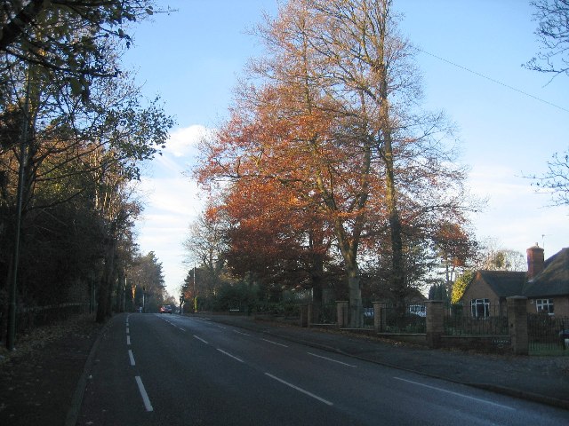
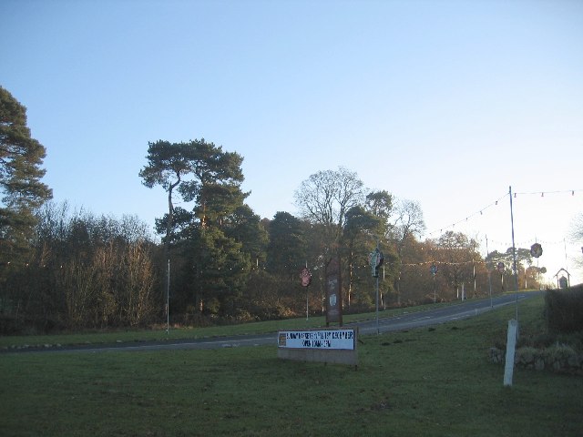
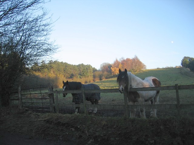
Foley Park is a small village located in the county of Worcestershire, England. Situated just outside the town of Kidderminster, it is a peaceful and picturesque area surrounded by lush green fields and rolling countryside.
The village itself is characterized by its charming traditional cottages, many of which date back to the 19th century. The architecture reflects the area's rich history and provides a glimpse into the rural way of life that has existed here for centuries.
Foley Park is known for its close-knit community and friendly atmosphere. The locals are welcoming and take great pride in their village, working together to maintain its beauty and preserve its heritage. The village has a strong sense of community spirit, with regular events and gatherings that bring residents together.
The village is also home to a number of amenities and facilities. There is a local primary school, providing education for the younger residents, as well as a village hall that serves as a hub for various activities and events. Additionally, there are several shops and services within close proximity, ensuring that residents have easy access to their daily necessities.
For those who enjoy outdoor activities, Foley Park offers numerous opportunities for exploration. The surrounding countryside provides ample space for walking, cycling, and picnicking, allowing residents to enjoy the natural beauty of the area.
Overall, Foley Park is a charming village that offers a peaceful and idyllic way of life. With its picturesque scenery, strong sense of community, and convenient amenities, it is a desirable place to call home in Worcestershire.
If you have any feedback on the listing, please let us know in the comments section below.
Foley Park Images
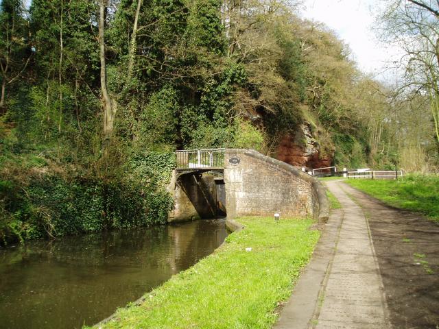
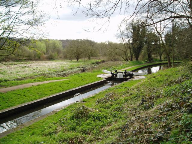
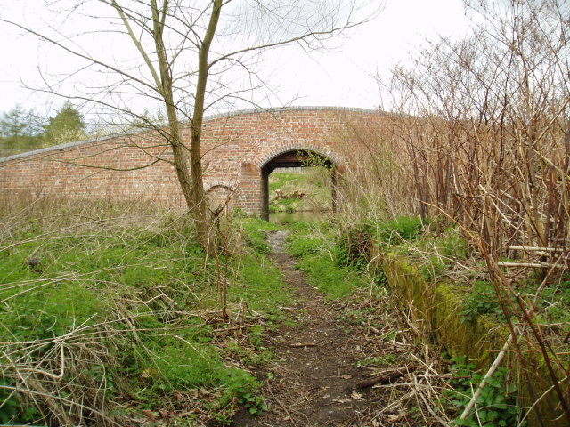
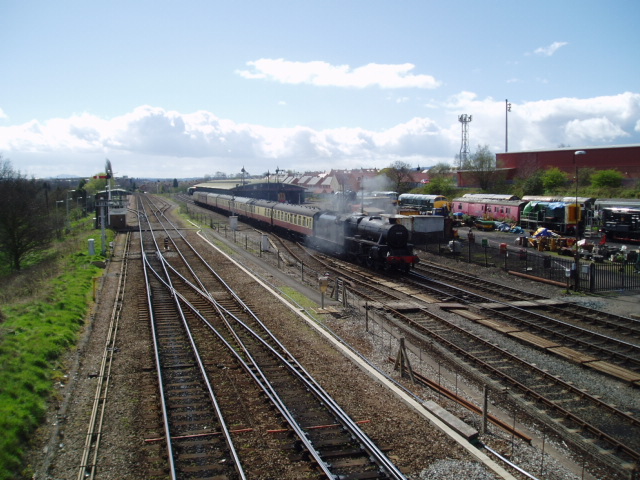
Images are sourced within 2km of 52.375604/-2.259828 or Grid Reference SO8275. Thanks to Geograph Open Source API. All images are credited.


Foley Park is located at Grid Ref: SO8275 (Lat: 52.375604, Lng: -2.259828)
Administrative County: Worcestershire
District: Wyre Forest
Police Authority: West Mercia
What 3 Words
///harsh.lands.policy. Near Kidderminster, Worcestershire
Nearby Locations
Related Wikis

Foley Park Halt railway station
Foley Park Halt was the first stop on the GWR Kidderminster to Bewdley loop line which now forms part of the Severn Valley Railway. It was located in the...

Caldwall Castle
Caldwall Castle, also spelt Caldwell Castle and now known as Caldwall Tower, is a former manor house in the town of Kidderminster in Worcestershire, England...

Kidderminster Hospital
Kidderminster Hospital is an acute general hospital in Kidderminster in Worcestershire, England. It is managed by the Worcestershire Acute Hospitals NHS...

St John's Church, Kidderminster
St John's Church, Kidderminster is a Church of England parish church in Kidderminster, Worcestershire, England. The church is a Grade II listed building...
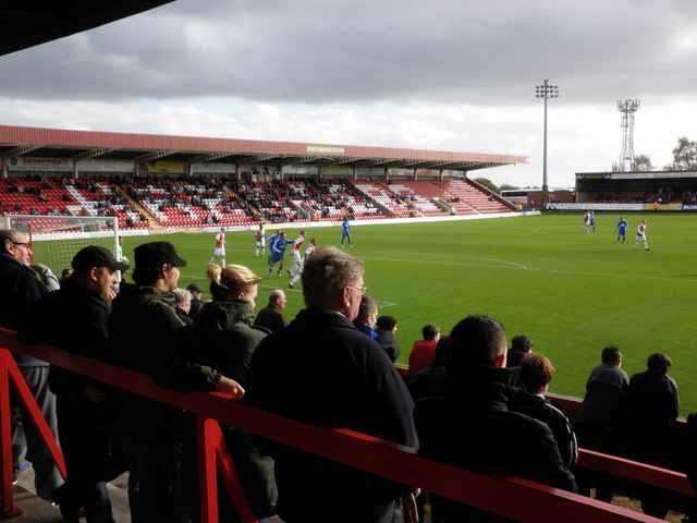
Aggborough Stadium
Aggborough Stadium is a football stadium in Kidderminster, England. It is the home ground of Kidderminster Harriers, and has a capacity of 7,000, of which...

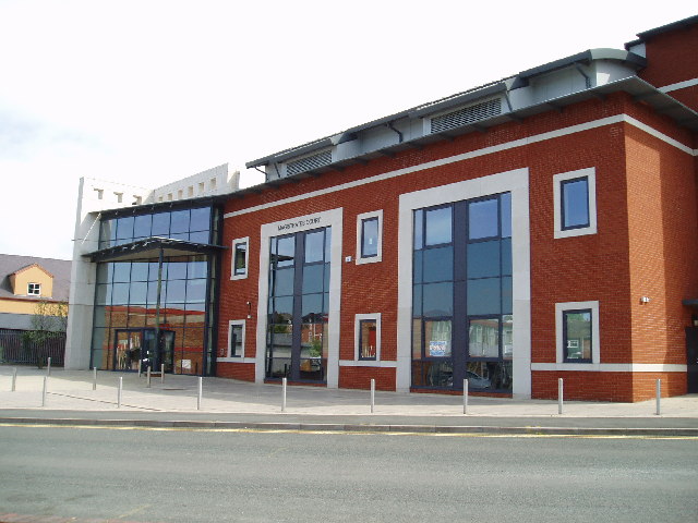
Kidderminster Register Office
Kidderminster Register Office is the former Register Office for the town of Kidderminster, Worcestershire, England. As such, it was a designated venue...

Kidderminster College
Kidderminster College is a post 16 Comprehensive College in Kidderminster, England providing full and part-time adult education. The College offers courses...
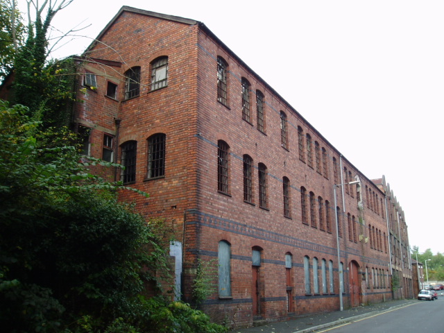
Museum of Carpet
The Museum of Carpet is a textile museum in the town of Kidderminster in Worcestershire, England. == History == A Carpet Museum Trust was founded in 1981...
Nearby Amenities
Located within 500m of 52.375604,-2.259828Have you been to Foley Park?
Leave your review of Foley Park below (or comments, questions and feedback).