Abbot's Castle Hill
Hill, Mountain in Shropshire
England
Abbot's Castle Hill
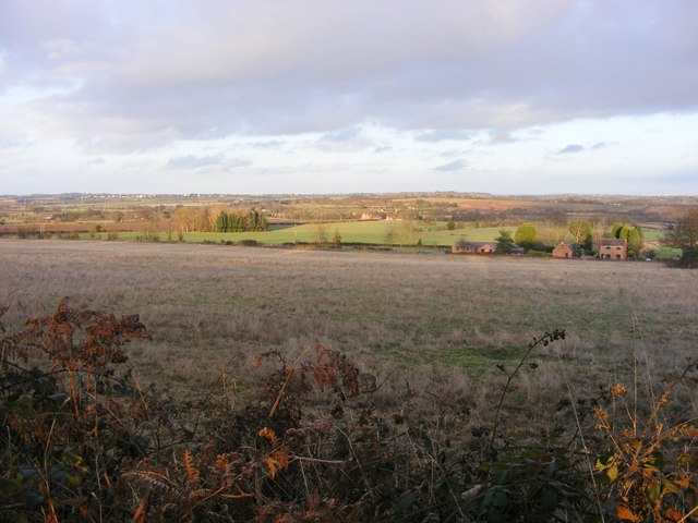
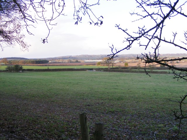
Abbot's Castle Hill is a prominent landmark located in Shropshire, England. This historical hill, often referred to as a castle, is situated near the town of Shrewsbury. Rising to an elevation of approximately 195 meters (640 feet), it offers breathtaking panoramic views of the surrounding countryside.
The hill's name suggests a connection to an abbey or monastery, but no concrete evidence of such a structure has been found. However, it is believed that there might have been a small religious building or fortification on the site during the medieval period. The remnants of an ancient rampart encircle the summit, indicating its historical significance.
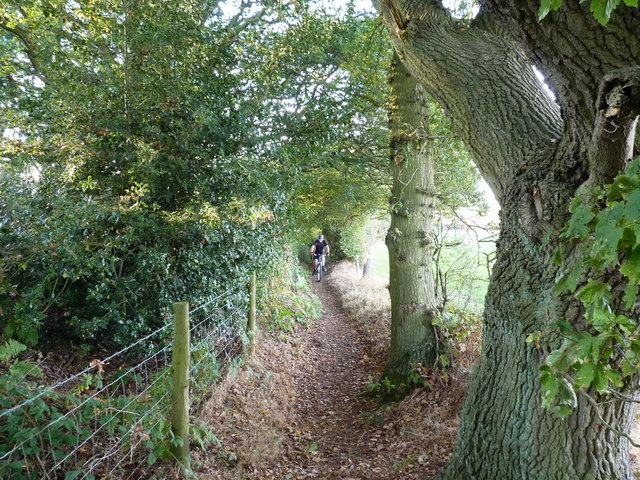
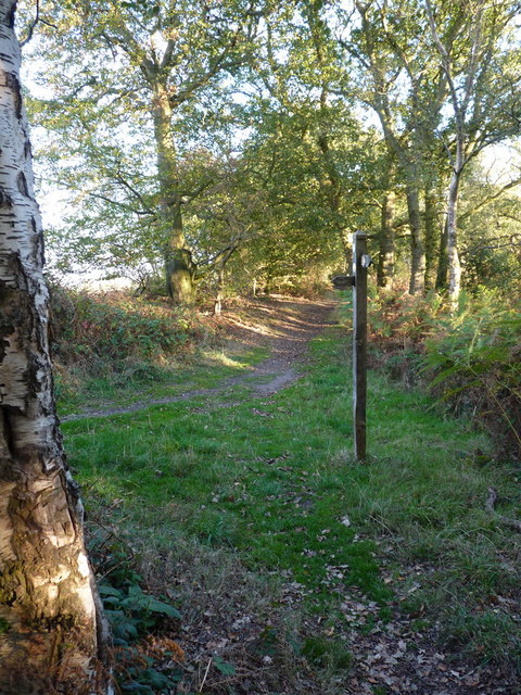
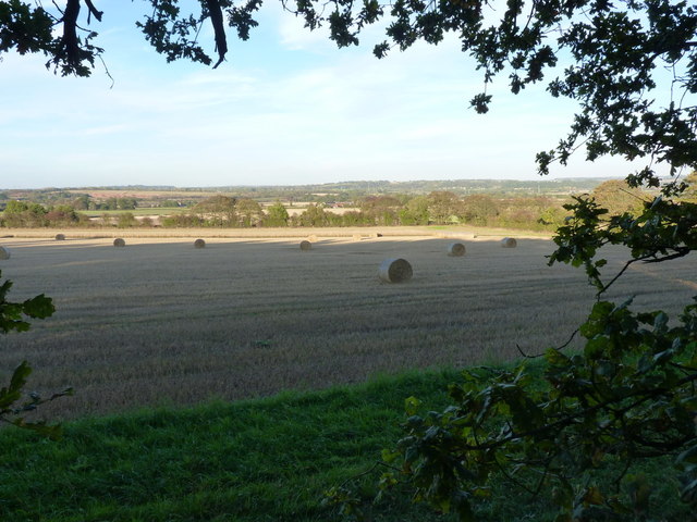
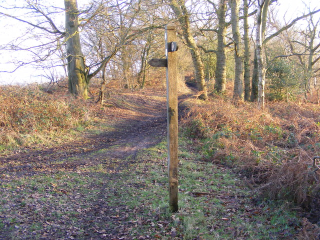
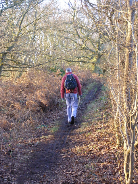
Abbot's Castle Hill is a popular destination for hikers and nature enthusiasts due to its accessibility and stunning vistas. The well-maintained footpaths leading to the top of the hill make it an enjoyable experience for people of all ages and abilities. On clear days, visitors can enjoy sweeping views of the rolling Shropshire Hills, the River Severn, and the charming town of Shrewsbury.
Aside from its natural beauty, Abbot's Castle Hill also holds archaeological importance. Excavations have unearthed pottery fragments and other artifacts from different periods, providing valuable insights into the area's history.
Whether you are a history buff, a nature lover, or simply seeking a peaceful spot to admire the scenery, Abbot's Castle Hill is a captivating destination that offers a glimpse into the past while showcasing the stunning beauty of Shropshire.
If you have any feedback on the listing, please let us know in the comments section below.
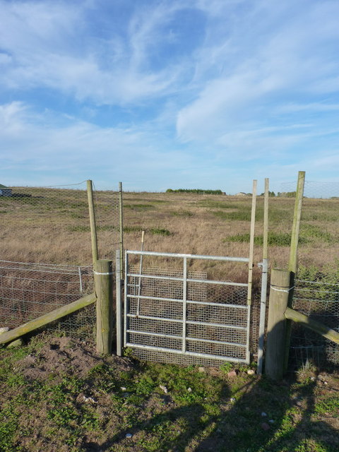
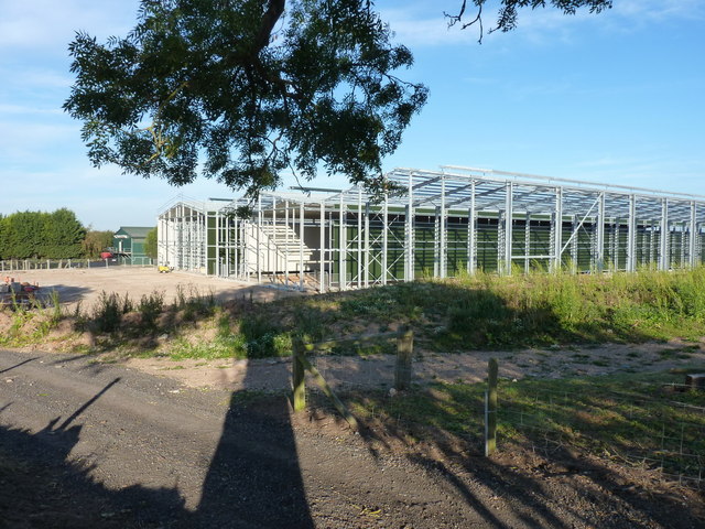
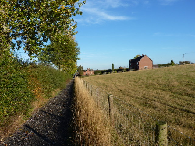
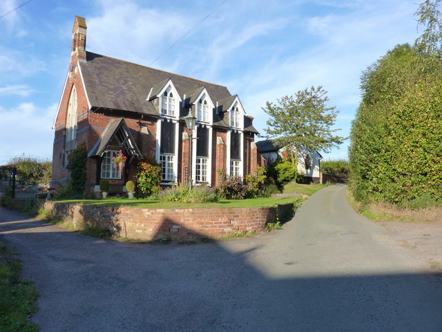
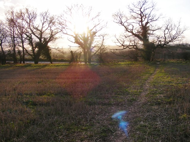
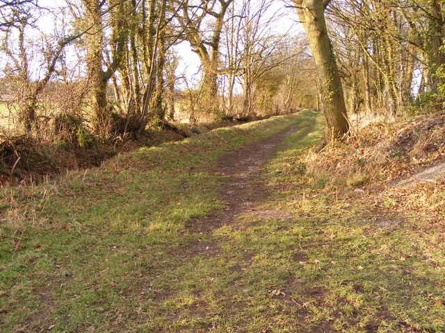
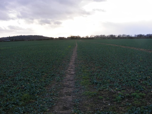
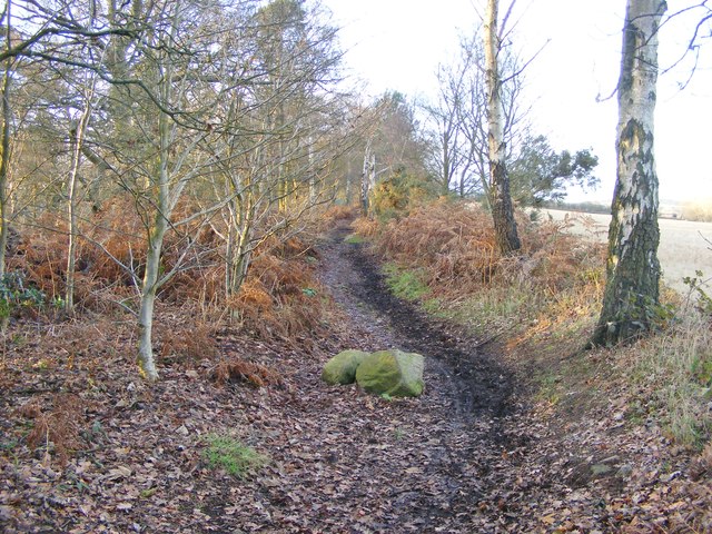
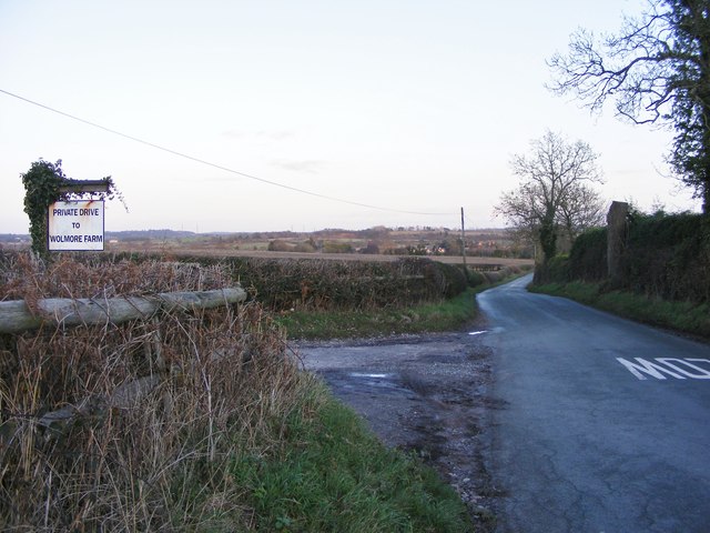
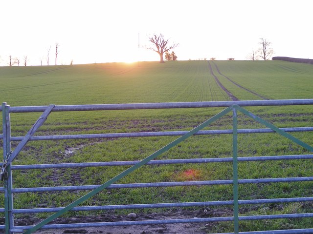
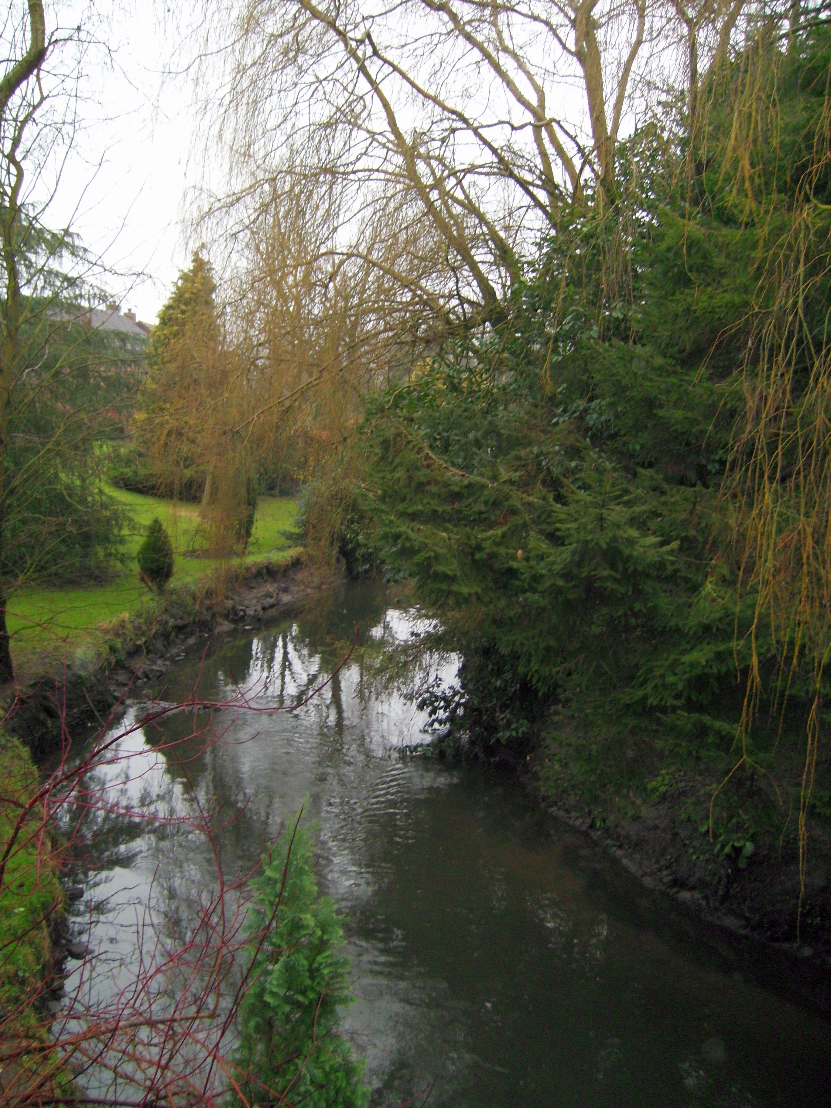
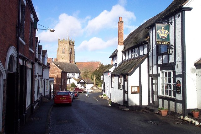
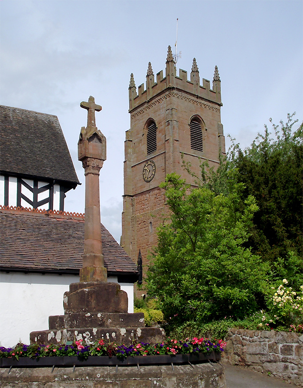
Abbot's Castle Hill Images
Images are sourced within 2km of 52.544742/-2.2614874 or Grid Reference SO8294. Thanks to Geograph Open Source API. All images are credited.
Abbot's Castle Hill is located at Grid Ref: SO8294 (Lat: 52.544742, Lng: -2.2614874)
Unitary Authority: Shropshire
Police Authority: West Mercia
What 3 Words
///highly.fastening.quintet. Near Pattingham, Staffordshire
Nearby Locations
Related Wikis
Seisdon
Seisdon is a rural village in the parish of Trysull and Seisdon, Staffordshire approximately six miles west of Wolverhampton and the name of one of the...

Seisdon Rural District
Seisdon was a rural district in Staffordshire, England from 1894 to 1974. It lay to the west of Wolverhampton and was formed under the Local Government...

Trysull and Seisdon
Trysull and Seisdon is a conjoined civil parish in the South Staffordshire non-metropolitan district, in the county of Staffordshire, England. The population...

Trysull
Trysull is a rural village in the county of Staffordshire, England approximately five miles south-west of Wolverhampton. With the adjacent village of...
Wolverhampton Airport
Wolverhampton Halfpenny Green Airport (ICAO: EGBO), formerly Halfpenny Green Airport and Wolverhampton Business Airport, locally Bobbington Airport, is...
Claverley
Claverley is a village and civil parish in east Shropshire, England. The parish also includes the hamlets of Beobridge, Hopstone, Upper Aston, Ludstone...
All Saints Church, Claverley
All Saints Church is in the village of Claverley, Shropshire, England. It is an active Anglican parish church in the deanery of Bridgnorth, the archdeaconry...

Rudge, Shropshire
Rudge is a settlement and civil parish about 6 miles east of Bridgnorth, in the Shropshire district, in the ceremonial county of Shropshire, England. In...
Nearby Amenities
Located within 500m of 52.544742,-2.2614874Have you been to Abbot's Castle Hill?
Leave your review of Abbot's Castle Hill below (or comments, questions and feedback).