Moat Rough
Wood, Forest in Staffordshire South Staffordshire
England
Moat Rough

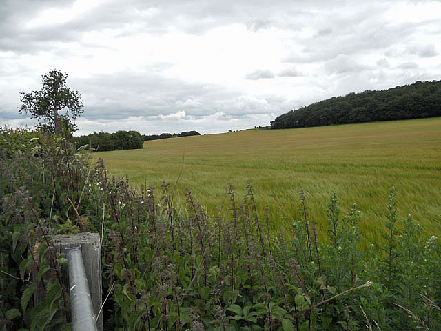
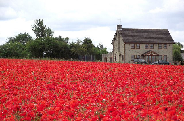
Moat Rough, located in Staffordshire, England, is a picturesque woodland area known for its natural beauty and rich history. Spread across several acres, it offers a serene and tranquil escape for nature enthusiasts and history buffs alike.
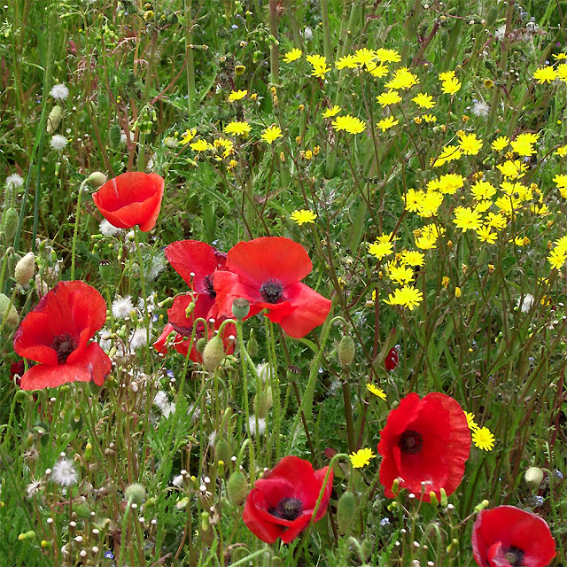
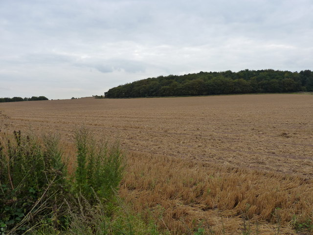
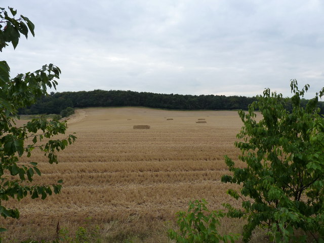
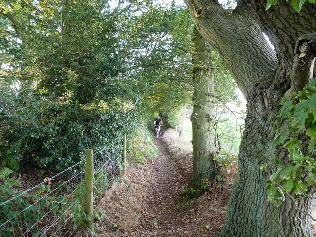
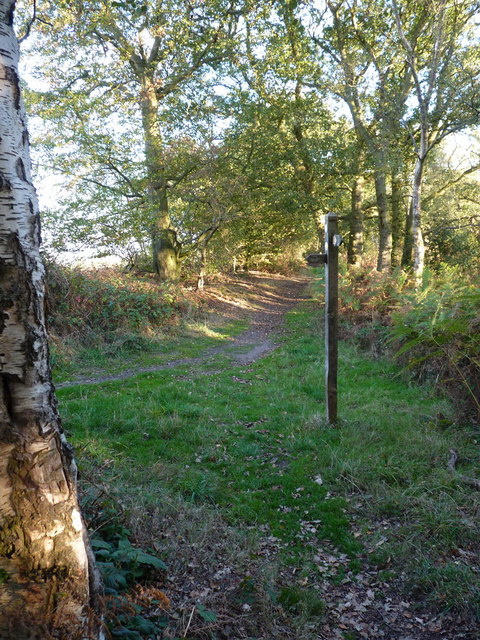
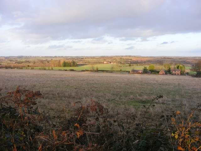
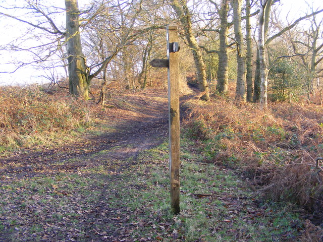
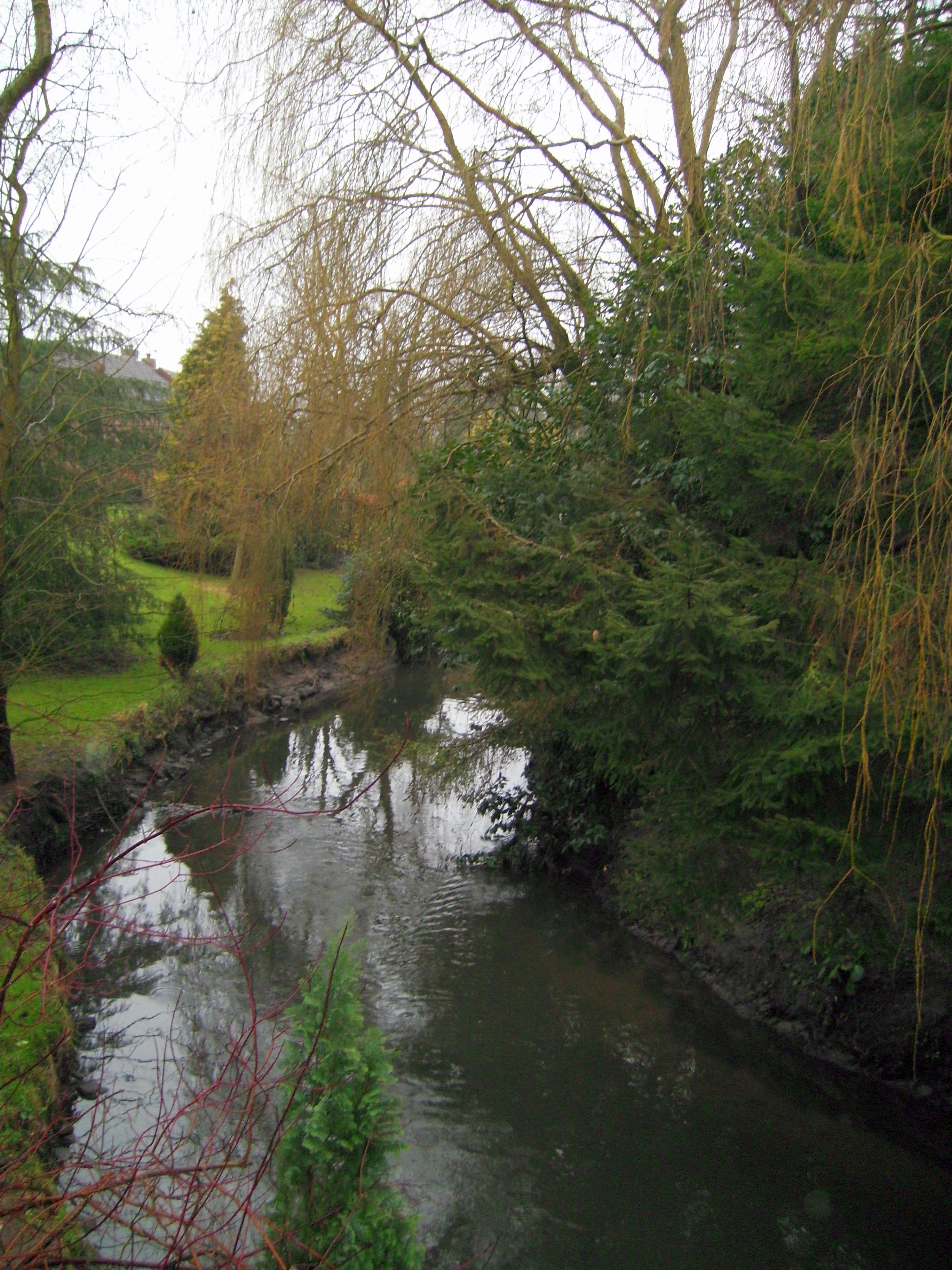
The woodland, as the name suggests, is characterized by its rough terrain, featuring undulating hills, dense forests, and a meandering stream that adds to its charm. This creates a diverse ecosystem, attracting a variety of flora and fauna. The woodland is predominantly covered with ancient oak and beech trees, providing a lush canopy that is perfect for exploring on foot or by bike.
Moat Rough holds great historical significance, with remnants of a medieval moat still visible today. This moat was once part of a grand manor house that stood on the site during the Middle Ages. Visitors can still see the remains of the foundations, giving them a glimpse into the area's past.
The woodland is also home to a variety of wildlife, including deer, foxes, and a wide range of bird species. This makes it an ideal spot for birdwatchers and nature photographers. The peaceful atmosphere and the abundance of wildlife create a perfect setting for those looking to reconnect with nature.
Moat Rough offers several walking trails and picnic areas, allowing visitors to immerse themselves in the natural surroundings. There are also designated areas for camping, making it an excellent destination for outdoor enthusiasts and families looking to spend a night under the stars.
Overall, Moat Rough in Staffordshire is a captivating woodland retreat that combines natural beauty with a rich historical legacy, offering something for everyone to enjoy.
If you have any feedback on the listing, please let us know in the comments section below.
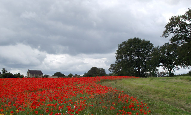
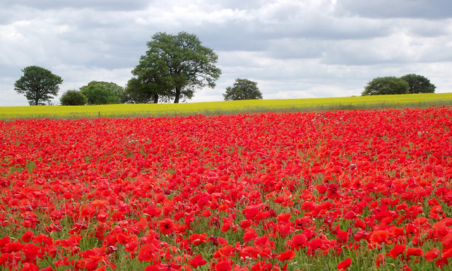
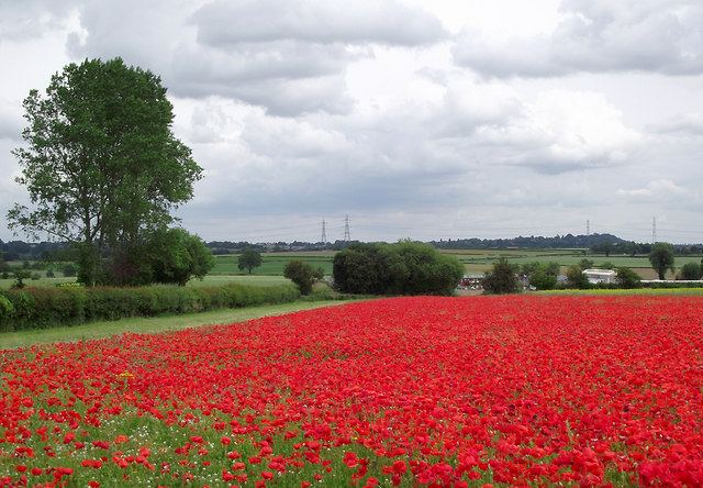
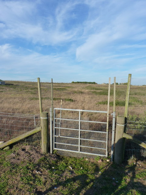
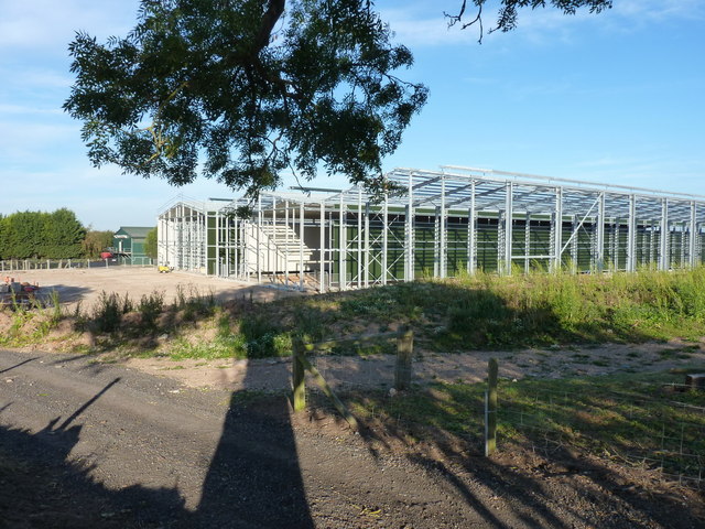
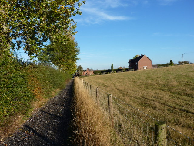
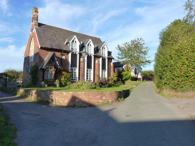
Moat Rough Images
Images are sourced within 2km of 52.552316/-2.2633171 or Grid Reference SO8294. Thanks to Geograph Open Source API. All images are credited.

Moat Rough is located at Grid Ref: SO8294 (Lat: 52.552316, Lng: -2.2633171)
Administrative County: Staffordshire
District: South Staffordshire
Police Authority: Staffordshire
What 3 Words
///eyelid.deflation.mailboxes. Near Pattingham, Staffordshire
Nearby Locations
Related Wikis
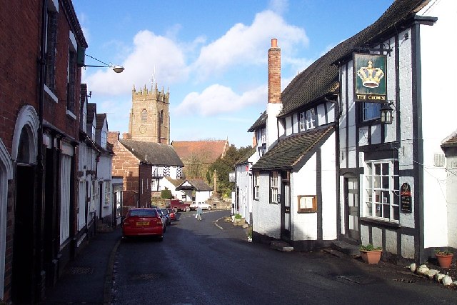
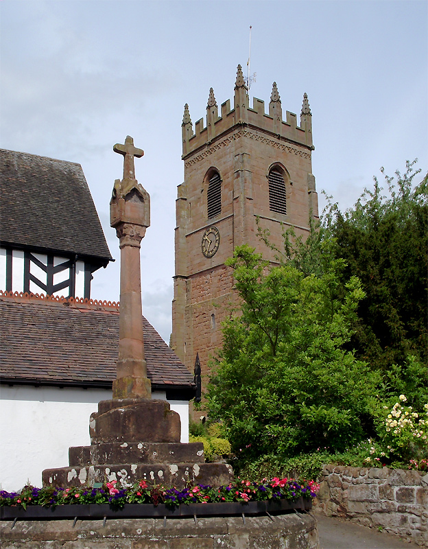
Seisdon
Seisdon is a rural village in the parish of Trysull and Seisdon, Staffordshire approximately six miles west of Wolverhampton and the name of one of the...

Seisdon Rural District
Seisdon was a rural district in Staffordshire, England from 1894 to 1974. It lay to the west of Wolverhampton and was formed under the Local Government...

Trysull and Seisdon
Trysull and Seisdon is a conjoined civil parish in the South Staffordshire non-metropolitan district, in the county of Staffordshire, England. The population...

Rudge, Shropshire
Rudge is a settlement and civil parish about 6 miles east of Bridgnorth, in the Shropshire district, in the ceremonial county of Shropshire, England. In...

Trysull
Trysull is a rural village in the county of Staffordshire, England approximately five miles south-west of Wolverhampton. With the adjacent village of...
Claverley
Claverley is a village and civil parish in east Shropshire, England. The parish also includes the hamlets of Beobridge, Hopstone, Upper Aston, Ludstone...
All Saints Church, Claverley
All Saints Church is in the village of Claverley, Shropshire, England. It is an active Anglican parish church in the deanery of Bridgnorth, the archdeaconry...
Wolverhampton Airport
Wolverhampton Halfpenny Green Airport (ICAO: EGBO), formerly Halfpenny Green Airport and Wolverhampton Business Airport, locally Bobbington Airport, is...
Have you been to Moat Rough?
Leave your review of Moat Rough below (or comments, questions and feedback).