Pen Wood

Wood, Forest in Gloucestershire Stroud

England

Pen Wood

Woodchester Mansion
Woodchester Mansion Credit: Helena Downton

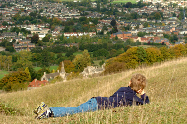
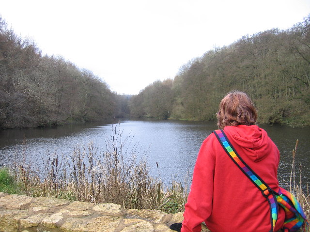
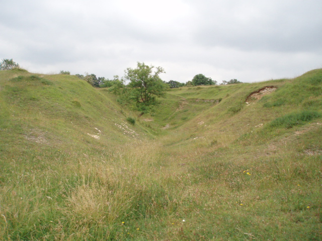
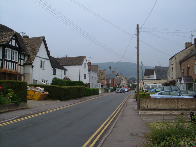
Pen Wood is a picturesque forest located in Gloucestershire, England. It covers an area of approximately 500 acres and is known for its diverse range of flora and fauna. The woodland is situated near the village of Wood and is easily accessible by foot or by car.

The forest is predominantly made up of deciduous trees, including oak, beech, and birch. These trees provide a stunning display of colors during the autumn months, attracting visitors from near and far. The woodland floor is covered in a variety of wildflowers, such as bluebells and primroses, adding to the beauty of the surroundings.

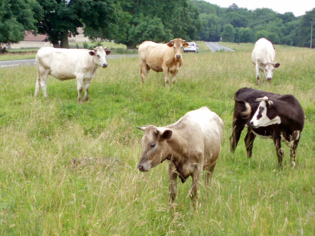
Pen Wood is also home to a wide range of wildlife, making it a popular spot for nature enthusiasts. Visitors may encounter deer, foxes, badgers, and a variety of bird species while exploring the forest. The tranquil atmosphere of the wood provides an ideal habitat for these creatures.

There are several walking trails within Pen Wood, catering to different levels of fitness and interests. These trails offer visitors the opportunity to explore the forest at their own pace and take in the natural beauty that surrounds them. Additionally, the forest is equipped with picnic areas and benches, allowing visitors to relax and enjoy a meal amidst nature.

Overall, Pen Wood in Gloucestershire is a serene and enchanting forest, offering visitors a chance to immerse themselves in nature and escape the hustle and bustle of daily life.

If you have any feedback on the listing, please let us know in the comments section below.
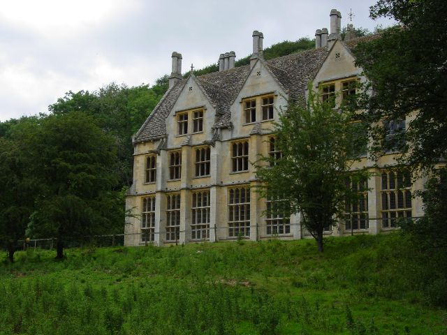
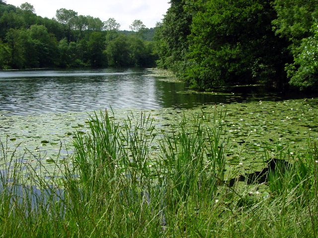
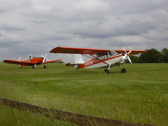
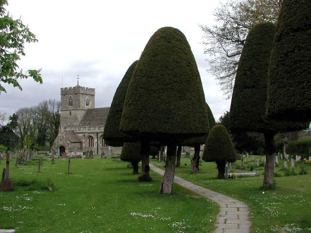
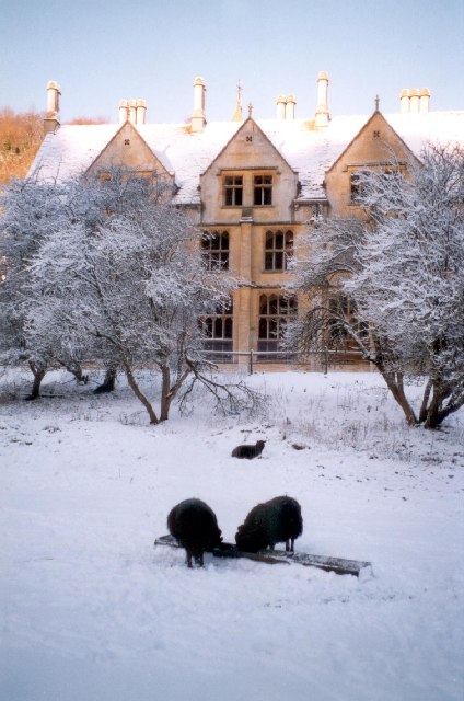
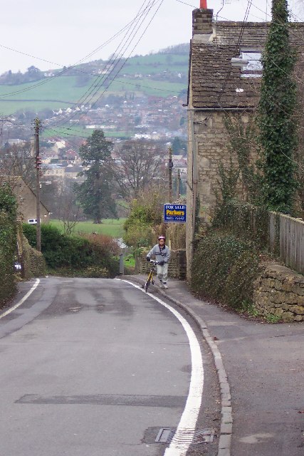
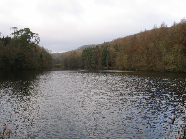
Pen Wood Images

Images are sourced within 2km of 51.720426/-2.2584234 or Grid Reference SO8202. Thanks to Geograph Open Source API. All images are credited.

Woodchester Mansion
Woodchester Mansion
Lake at Woodchester Park
Bristol and Gloucestershire Gliding Club Planes on the air strip at the Bristol and Gloucestershire Gliding Club
Bristol and Gloucestershire Gliding Club
Planes on the air strip at the Bristol and Gloucestershire Gliding Club
King's Stanley (Glos) St George's Church The churchyard is exceptionally large and there is an avenue of clipped yew trees .
King's Stanley (Glos) St George's Church
The churchyard is exceptionally large and there is an avenue of clipped yew trees .
Views from Selsley Ridge View of Selsley and Caincross
Views from Selsley Ridge
View of Selsley and Caincross
Woodchester Mansion in snow
Selsley The B4066 road rises through Selsley a bit too steeply for this cyclist. Randwick rises across the other side of the valley.
Selsley
The B4066 road rises through Selsley a bit too steeply for this cyclist. Randwick rises across the other side of the valley.
Parkmill Pond Parkmill Pond is the last in the chain of man-made lakes in Woodchester Park.
Parkmill Pond
Parkmill Pond is the last in the chain of man-made lakes in Woodchester Park.
Kennel Pond This is between Kennel Pond and Parkmill Pond looking towards Kennel Pond. These ponds are a chain of man-made ponds in Woodchester Park.
Kennel Pond
This is between Kennel Pond and Parkmill Pond looking towards Kennel Pond. These ponds are a chain of man-made ponds in Woodchester Park.
Woodchester Mansion Woodchester Mansion is an uncompleted Victorian Dream. This is the ground floor corridor, looking from the entrance hall towards the Drawing Room and Chapel. Now the haunt of rare bats, the house is open to the public at certain times.
Woodchester Mansion
Woodchester Mansion is an uncompleted Victorian Dream. This is the ground floor corridor, looking from the entrance hall towards the Drawing Room and Chapel. Now the haunt of rare bats, the house is open to the public at certain times.
Selsley.  All Saints church This church which was built in 1862, was copied from one in the Austrian Tyrol, the designer was G.F.Bodley.
Selsley. All Saints church
This church which was built in 1862, was copied from one in the Austrian Tyrol, the designer was G.F.Bodley.
North Woodchester church St Mary's Church in north Woodchester was consecrated in 1863.  It replaced a previous church which was located on a different site in Woodchester, and was pulled down in the mid 1800s.
North Woodchester church
St Mary's Church in north Woodchester was consecrated in 1863. It replaced a previous church which was located on a different site in Woodchester, and was pulled down in the mid 1800s.
Uneven ground on Selsley Common The humpy, bumpy nature of the ground in this area of Selsey Common is because there was once a fairly large Cotswold stone (oolitic limestone) quarry here.  The quarry was already disused by 1888, as indicated on maps of that date.
Uneven ground on Selsley Common
The humpy, bumpy nature of the ground in this area of Selsey Common is because there was once a fairly large Cotswold stone (oolitic limestone) quarry here. The quarry was already disused by 1888, as indicated on maps of that date.
Convent of Poor Clares, Woodchester This convent of Franciscan nuns was established in 1860.  Between 1862 and 1927 there was also an orphanage for girls on this site.
Convent of Poor Clares, Woodchester
This convent of Franciscan nuns was established in 1860. Between 1862 and 1927 there was also an orphanage for girls on this site.
Frogmarsh Mill The mill was already in use by 1658 and continued producing cloth until mid 1800s.  The buildings date from the 19th Century. The Woodchester area  was ideal for cloth manufacture because of deep valleys and rapid streams in this part of the Cotswolds.
Frogmarsh Mill
The mill was already in use by 1658 and continued producing cloth until mid 1800s. The buildings date from the 19th Century. The Woodchester area was ideal for cloth manufacture because of deep valleys and rapid streams in this part of the Cotswolds.
Teasel Tower Once part of Frogmarsh woollen mill, the teasel tower dates from the early 1600s.  It has been converted into a private residence.
Teasel Tower
Once part of Frogmarsh woollen mill, the teasel tower dates from the early 1600s. It has been converted into a private residence.
Cows on Selsley Common With so much land to roam on, these cows have chosen to find pasture perilously close to the B4066.  Cattle grids placed a strategic locations prevent the cattle from straying from the commonland.
Cows on Selsley Common
With so much land to roam on, these cows have chosen to find pasture perilously close to the B4066. Cattle grids placed a strategic locations prevent the cattle from straying from the commonland.
High Street, King's Stanley Looking up the High Street from the edge of the green opposite the King's Head.
High Street, King's Stanley
Looking up the High Street from the edge of the green opposite the King's Head.
Show me another place!

Pen Wood is located at Grid Ref: SO8202 (Lat: 51.720426, Lng: -2.2584234)

Administrative County: Gloucestershire

District: Stroud

Police Authority: Gloucestershire

What 3 Words

///shook.treatment.struts. Near Stonehouse, Gloucestershire

Related Wikis

Selsley

Selsley is a village within the civil parish of King's Stanley and district of Stroud, in Gloucestershire, England. It is composed of around 175 houses...

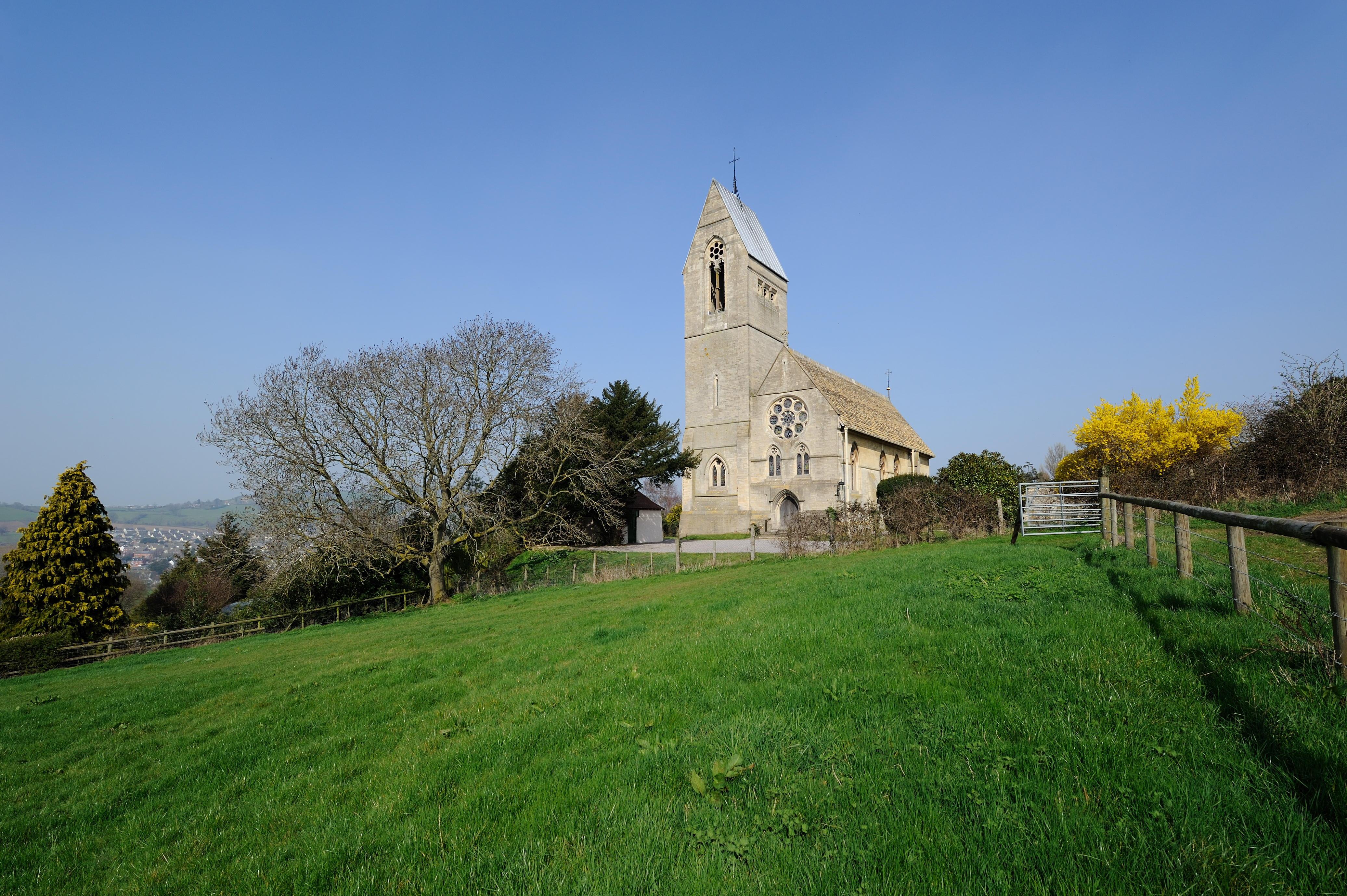
All Saints Church, Selsley

All Saints Church is the parish church for Selsley in Gloucestershire. == Background == It is a celebrated early work by the important church architect...

Woodchester Park SSSI

Woodchester Park (grid reference SO820014) is a 214.9-hectare (531-acre) biological Site of Special Scientific Interest in Gloucestershire, notified in...

King's Stanley

King's Stanley is a civil parish and village in Gloucestershire, England, to the south of Stonehouse and southwest of the town of Stroud. == Geography... ==

Woodchester

Woodchester is a Gloucestershire village in the Nailsworth (or Woodchester) Valley, a valley in the South Cotswolds in England, running southwards from...

Woodchester Roman Villa

Woodchester Roman Villa was situated at Woodchester near Stroud in the English county of Gloucestershire. It is one of many Roman villas discovered in...

Woodchester railway station

Woodchester railway station served the villages of Woodchester and Amberley in Gloucestershire, England. It was on the 9.3 km-long Stonehouse and Nailsworth...

Easter Park Farm Quarry

Easter Park Farm Quarry (grid reference SO810009) is a 0.15-hectare (0.37-acre) geological Site of Special Scientific Interest in Gloucestershire, notified...

Nearby Amenities

Located within 500m of 51.720426,-2.2584234
Barrier: cattle_grid
Lat/Long: 51.7194871/-2.2558601
Bown Hill
Created By: Potlatch 0.10f
Ele: 230
Natural: peak
Note: Ele from NPE converted to meters
Source: NPE
Lat/Long: 51.716129/-2.258626
Power: pole
Lat/Long: 51.7195219/-2.2550805
Material: wood
Power: pole
Lat/Long: 51.7223256/-2.2546647
Power: pole
Lat/Long: 51.7188656/-2.2540963
Material: wood
Power: pole
Lat/Long: 51.7232442/-2.2554401
Material: wood
Power: pole
Lat/Long: 51.7213373/-2.2538563
Material: wood
Power: pole
Lat/Long: 51.724654/-2.2565479
Material: wood
Power: pole
Lat/Long: 51.720548/-2.2543794
Power: pole
Lat/Long: 51.7181427/-2.2530094
Material: wood
Power: pole
Lat/Long: 51.7241547/-2.2561429
Barrier: stile
Foot: designated
Lat/Long: 51.7231364/-2.2611595
Barrier: stile
Foot: designated
Lat/Long: 51.7243319/-2.2610098
Crossing
Lat/Long: 51.7192078/-2.2600135
Barrier: cattle_grid
Lat/Long: 51.7195771/-2.2549905
Barrier: stile
Stile: squeezer
Lat/Long: 51.7195942/-2.2549662
The data included in this document is from www.openstreetmap.org. The data is made available under ODbL.

Have you been to Pen Wood?

Leave your review of Pen Wood below (or comments, questions and feedback).