Dark Wood
Wood, Forest in Gloucestershire Stroud
England
Dark Wood
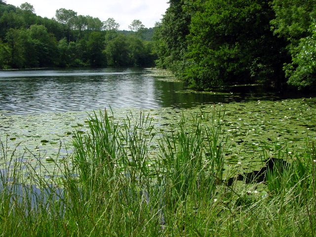
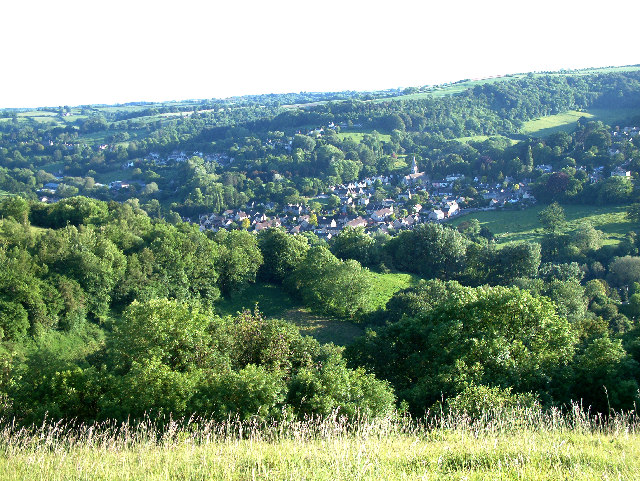
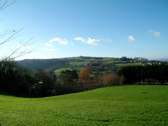
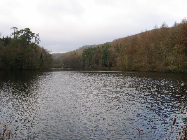
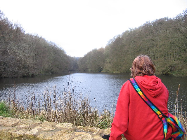
Dark Wood is a picturesque forest located in Gloucestershire, England. Covering an area of approximately 100 hectares, this ancient woodland is renowned for its natural beauty and rich biodiversity. The forest is situated in the heart of the Forest of Dean, a designated Area of Outstanding Natural Beauty.
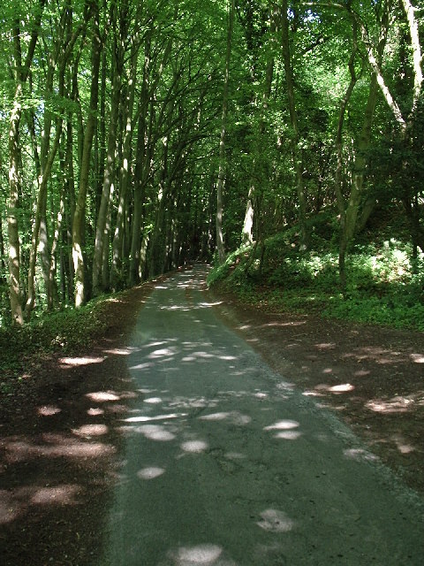
Dark Wood is characterized by its dense canopy of mature trees, predominantly consisting of oak and beech. These towering trees create a dark and mysterious atmosphere, which gives the woodland its name. The forest floor is carpeted with a diverse range of flora, including bluebells, foxgloves, and wild garlic, providing a vibrant display of colors throughout the year.
The woodland is home to a wide variety of wildlife, making it a haven for nature enthusiasts and wildlife photographers. Visitors may spot roe deer, badgers, foxes, and a rich array of bird species, including woodpeckers, tawny owls, and buzzards. The forest also supports a diverse range of insect life, including butterflies and dragonflies.
Dark Wood offers several walking trails that allow visitors to explore its natural wonders. These paths wind through the forest, providing opportunities for peaceful strolls and wildlife observation. The forest is also popular among mountain bikers and horse riders, who can enjoy the network of trails that traverse the woodland.
Dark Wood is not only a sanctuary for wildlife but also a place of tranquility and natural beauty. Its ancient trees, vibrant flora, and diverse wildlife make it a cherished destination for nature lovers seeking a peaceful escape in the heart of Gloucestershire.
If you have any feedback on the listing, please let us know in the comments section below.
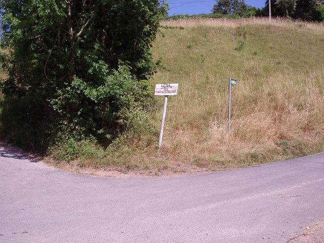
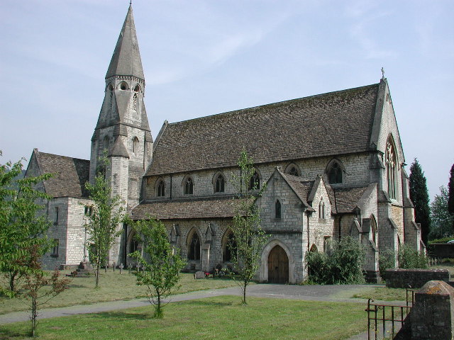
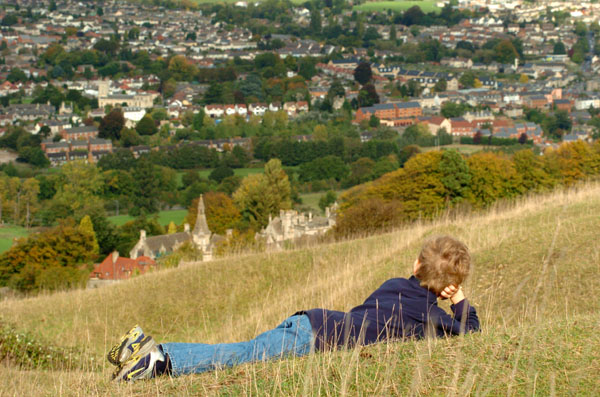
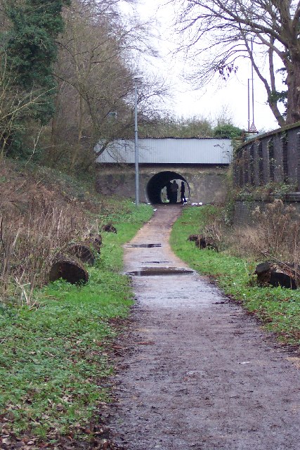
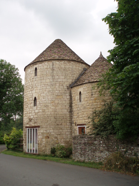
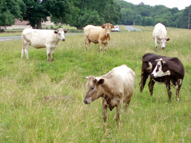
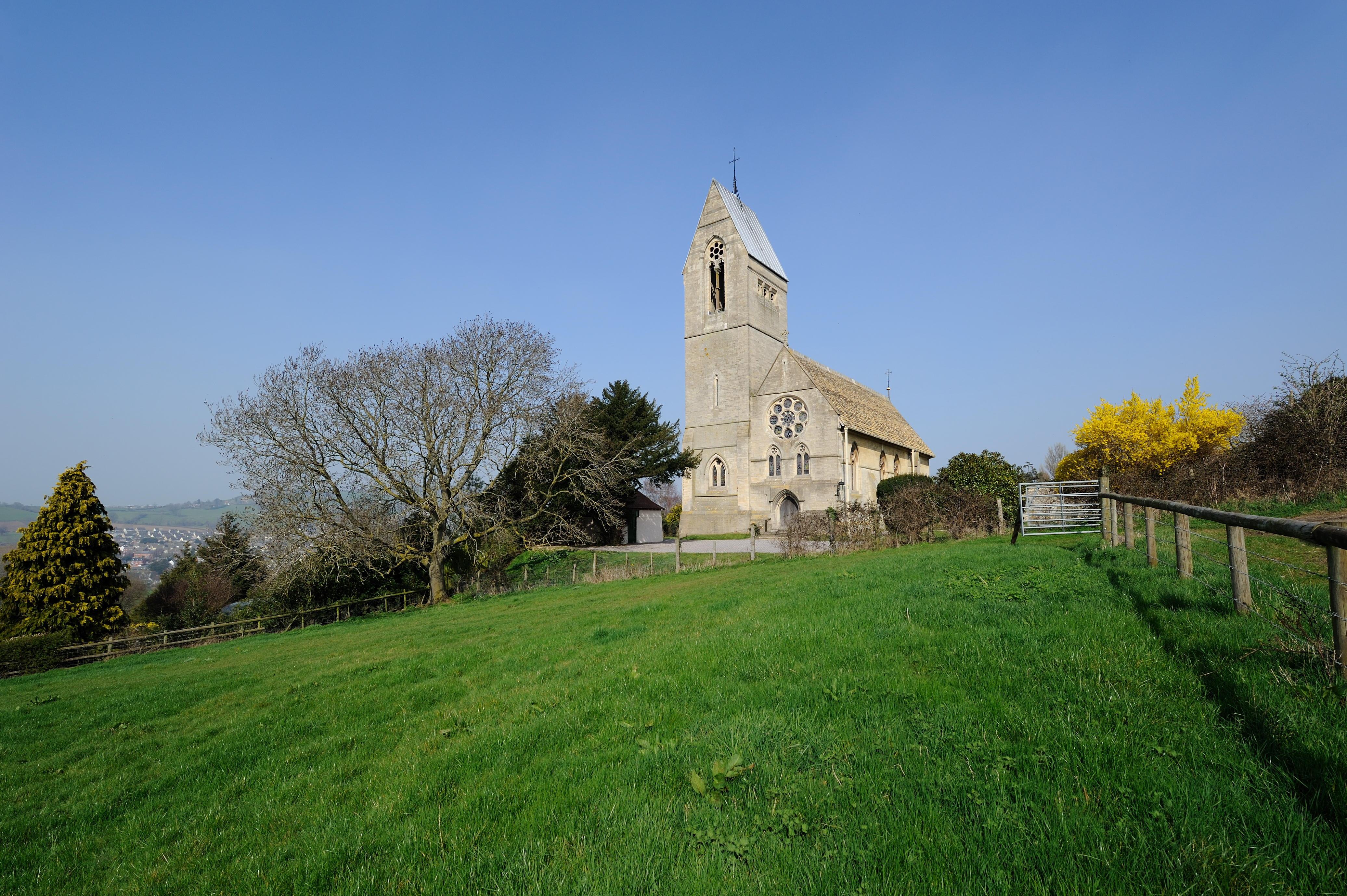
Dark Wood Images
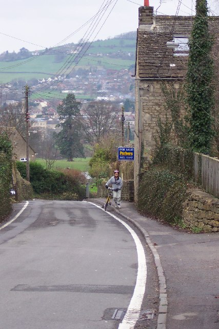
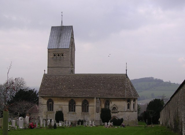
Images are sourced within 2km of 51.720517/-2.249854 or Grid Reference SO8202. Thanks to Geograph Open Source API. All images are credited.
Dark Wood is located at Grid Ref: SO8202 (Lat: 51.720517, Lng: -2.249854)
Administrative County: Gloucestershire
District: Stroud
Police Authority: Gloucestershire
What 3 Words
///squeezed.detriment.spotted. Near Nailsworth, Gloucestershire
Nearby Locations
Related Wikis

Selsley
Selsley is a village within the civil parish of King's Stanley and district of Stroud, in Gloucestershire, England. It is composed of around 175 houses...

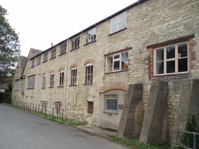
Woodchester
Woodchester is a Gloucestershire village in the Nailsworth (or Woodchester) Valley, a valley in the South Cotswolds in England, running southwards from...

Woodchester railway station
Woodchester railway station served the villages of Woodchester and Amberley in Gloucestershire, England. It was on the 9.3 km-long Stonehouse and Nailsworth...

Woodchester Roman Villa
Woodchester Roman Villa was situated at Woodchester near Stroud in the English county of Gloucestershire. It is one of many Roman villas discovered in...
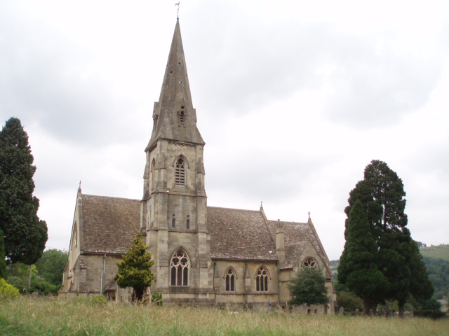
All Saints Church, Selsley
All Saints Church is the parish church for Selsley in Gloucestershire. == Background == It is a celebrated early work by the important church architect...

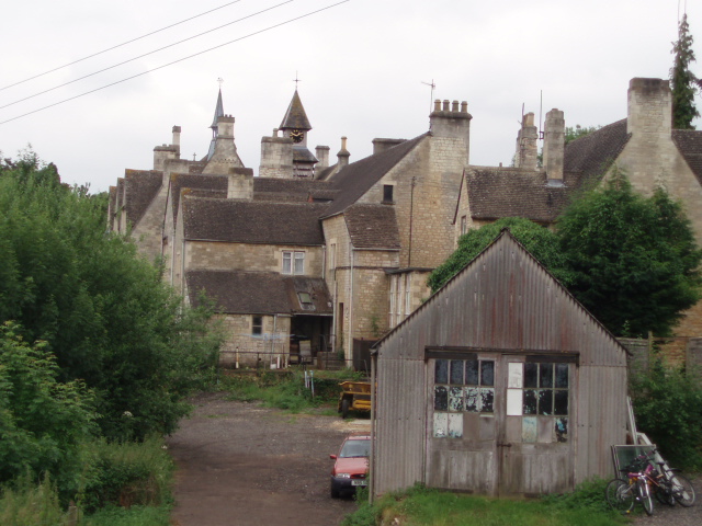
Convent of Poor Clares, Woodchester
A former Convent of Poor Clares is located in Woodchester, near Stroud in Gloucestershire. The convent was home to nuns of the Poor Clares order from 1850...
Erinoid Ground
Erinoid Ground was a cricket ground in Stroud, Gloucestershire. The first recorded important match on the ground was in 1880, when Stroud played a United...

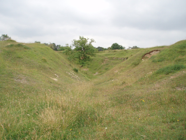
Neu-Lindsey Nature Reserve
Neu-Lindsey Nature Reserve (grid reference SO845014) is a 0.4-hectare (0.99-acre) nature reserve in Gloucestershire. The site is listed in the ‘Stroud...
Nearby Amenities
Located within 500m of 51.720517,-2.249854Have you been to Dark Wood?
Leave your review of Dark Wood below (or comments, questions and feedback).