Shillingstone Hill
Hill, Mountain in Dorset
England
Shillingstone Hill

Shillingstone Hill is a prominent landmark located in the county of Dorset, England. Situated near the village of Shillingstone, it is part of the Cranborne Chase and West Wiltshire Downs Area of Outstanding Natural Beauty. While not classified as a mountain, it is often referred to as Shillingstone Hill or Shillingstone Beacon due to its distinctive shape and elevation.
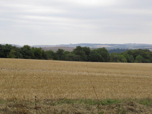
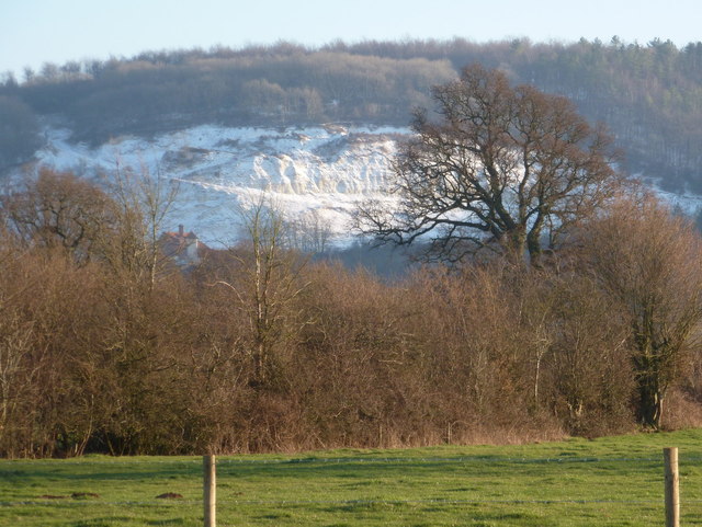
Rising to a height of approximately 242 meters (794 feet) above sea level, Shillingstone Hill offers commanding views of the surrounding countryside. From its summit, visitors can enjoy panoramic vistas of rolling green fields, picturesque villages, and distant hills. On clear days, the Isle of Wight can even be seen in the distance.
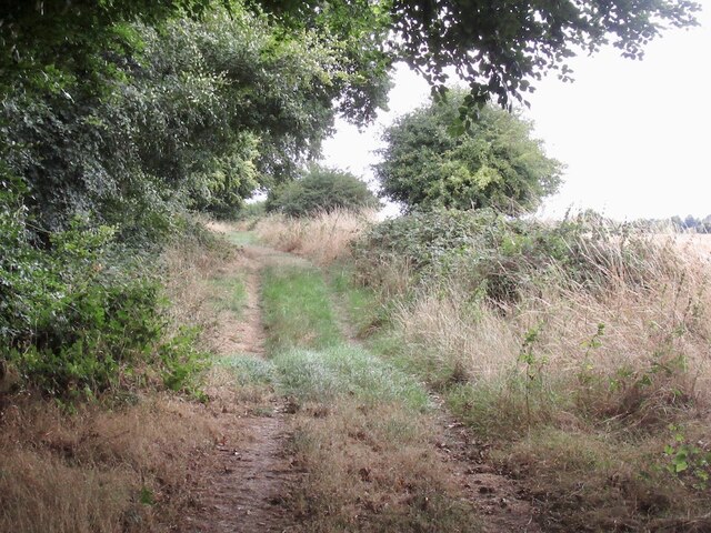
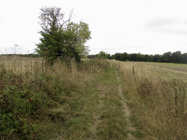
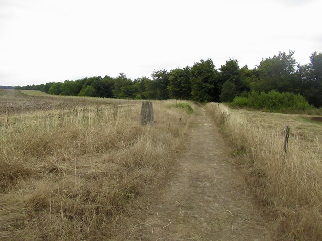
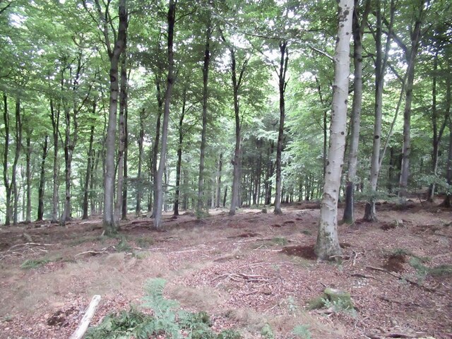
The hill is covered in a mix of grassland, heathland, and woodland, providing a diverse habitat for a variety of flora and fauna. It is home to several species of birds, including buzzards and kestrels, as well as butterflies and other insects. The area is also rich in archaeological remains, with evidence of prehistoric settlements and ancient burial mounds.
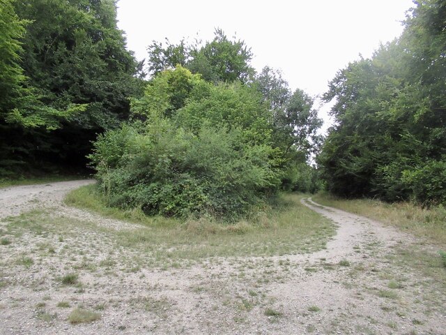
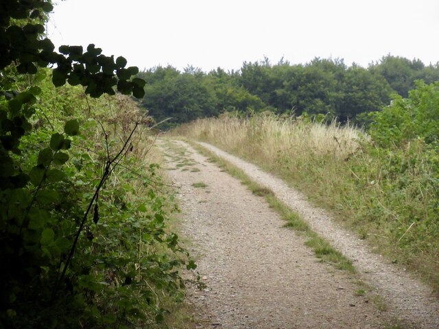
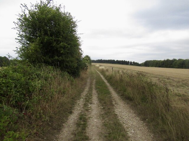
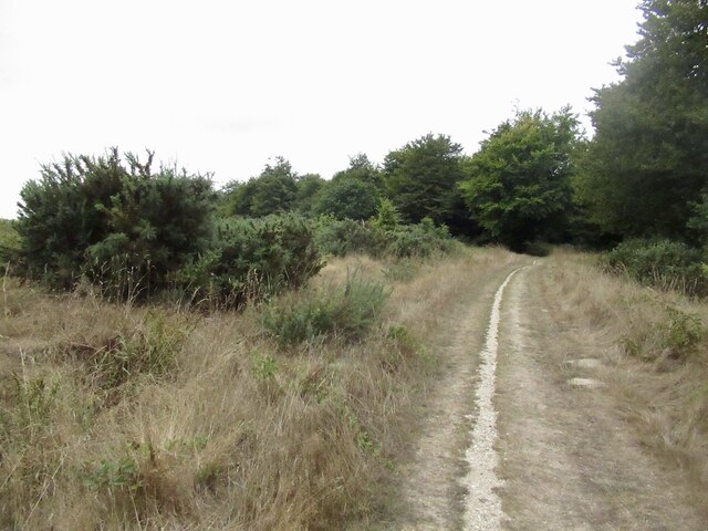
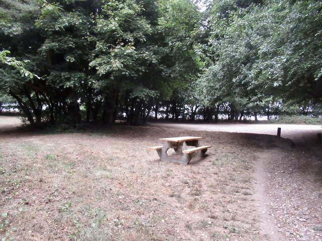
Shillingstone Hill is a popular destination for outdoor enthusiasts and nature lovers. It offers numerous walking trails and paths, allowing visitors to explore its natural beauty at their own pace. The hill is easily accessible by foot, with a car park located nearby for those arriving by car.
Overall, Shillingstone Hill is a remarkable natural feature, offering breathtaking views and a tranquil setting for both locals and tourists to enjoy.
If you have any feedback on the listing, please let us know in the comments section below.
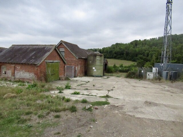
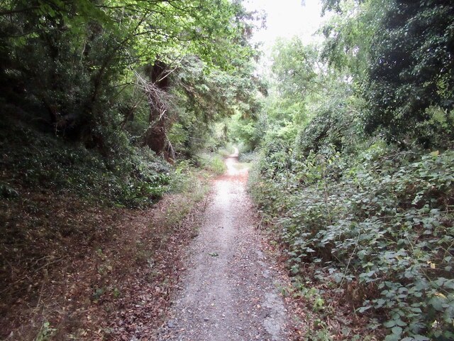
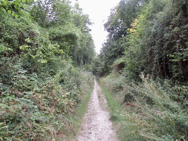
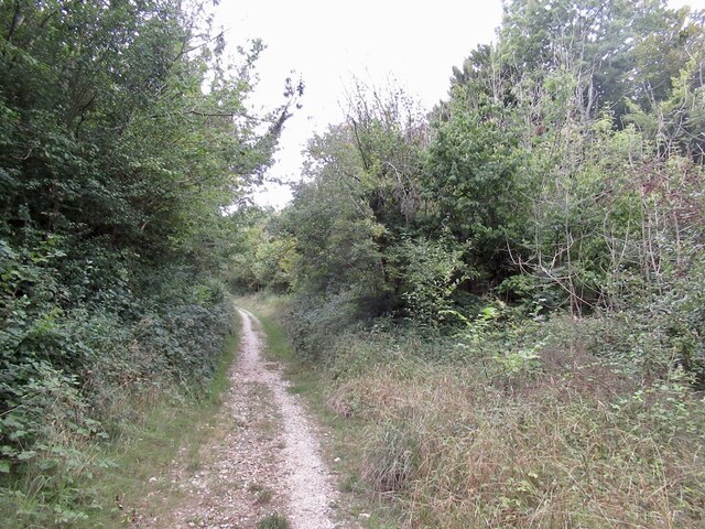
Shillingstone Hill Images
Images are sourced within 2km of 50.884321/-2.2521166 or Grid Reference ST8209. Thanks to Geograph Open Source API. All images are credited.


Shillingstone Hill is located at Grid Ref: ST8209 (Lat: 50.884321, Lng: -2.2521166)
Unitary Authority: Dorset
Police Authority: Dorset
What 3 Words
///curving.limped.reinstate. Near Shillingstone, Dorset
Nearby Locations
Related Wikis
Shillingstone Quarry
Shillingstone Quarry SSSI, Dorset (grid reference ST823098) is an 8.13 hectare geological Site of Special Scientific Interest in Dorset, England, notified...

Ringmoor
The Ringmoor settlement is an Iron Age/Romano-British farming settlement in Dorset, England. It is between the villages of Okeford Fitzpaine and Turnworth...
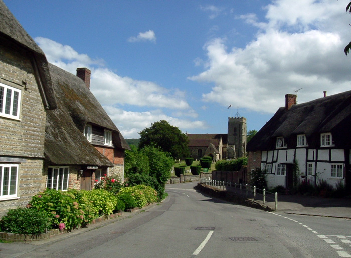
Shillingstone
Shillingstone is a village and civil parish in the Blackmore Vale area of north Dorset, England, situated on the River Stour between Sturminster Newton...

Turnworth
Turnworth is a small village and civil parish in north Dorset, England, situated on the Dorset Downs five miles (eight kilometres) west of Blandford Forum...

North Dorset Railway
North Dorset Railway (previously known as the Shillingstone Station Project, the North Dorset Railway Trust and the Shillingstone Railway Project) is a...

Shillingstone railway station
Shillingstone railway station was a station on the Somerset and Dorset Joint Railway (S&DJR), serving the village of Shillingstone in the English county...
Okeford Fitzpaine
Okeford Fitzpaine is a village and civil parish in the English county of Dorset, situated in the Blackmore Vale three miles (five kilometres) south of...

Bell Hill, Dorset
At 258 metres, Bell Hill is one of the highest hills in the county of Dorset, England and a high point on the Wessex Ridgeway. == Location == Bell Hill...
Related Videos


Nearby Amenities
Located within 500m of 50.884321,-2.2521166Have you been to Shillingstone Hill?
Leave your review of Shillingstone Hill below (or comments, questions and feedback).