Pen Hill

Hill, Mountain in Gloucestershire Stroud

England

Pen Hill

Woodchester Mansion
Woodchester Mansion Credit: Helena Downton

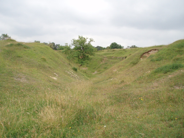
Pen Hill is a prominent hill located in the county of Gloucestershire, England. Situated in the Cotswold Hills, it is part of the larger range known as the Cotswolds Area of Outstanding Natural Beauty. Rising to an elevation of approximately 305 meters (1,000 feet), Pen Hill stands as a distinct landmark in the region.

The hill's name is derived from the Old English word "pen," meaning "hill" or "promontory," and it accurately describes the hill's prominent position in the landscape. Its location offers breathtaking panoramic views of the surrounding countryside, with sweeping vistas of rolling hills, picturesque villages, and lush farmlands.

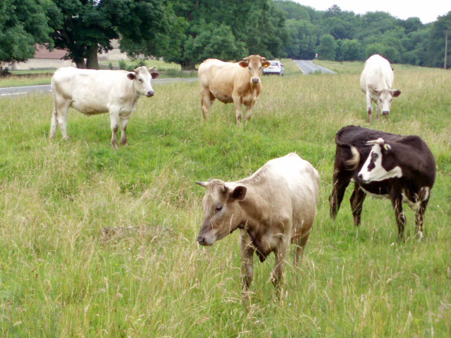
Covered in a patchwork of fields, Pen Hill showcases the typical agricultural landscape of the Cotswolds. The hill is adorned with ancient stone walls, hedgerows, and grazing sheep, adding to its charm and character. Visitors can explore the network of footpaths and bridleways that crisscross the hill, providing opportunities for leisurely walks and hikes amidst the idyllic countryside.

At the summit of Pen Hill, there is a trig point, which serves as a reference point for mapping purposes. This spot is a popular destination for outdoor enthusiasts and nature lovers seeking a peaceful retreat in nature. Additionally, the hill is a favored spot for paragliding and hang gliding, attracting adventurous individuals who enjoy taking to the skies and admiring the stunning views from above.

Pen Hill in Gloucestershire offers a serene and picturesque setting, inviting visitors to immerse themselves in the natural beauty of the Cotswolds and experience the tranquility and charm of the English countryside.

If you have any feedback on the listing, please let us know in the comments section below.
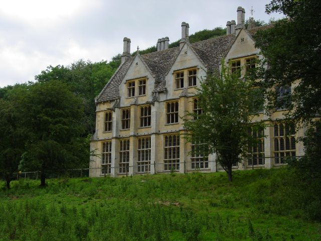
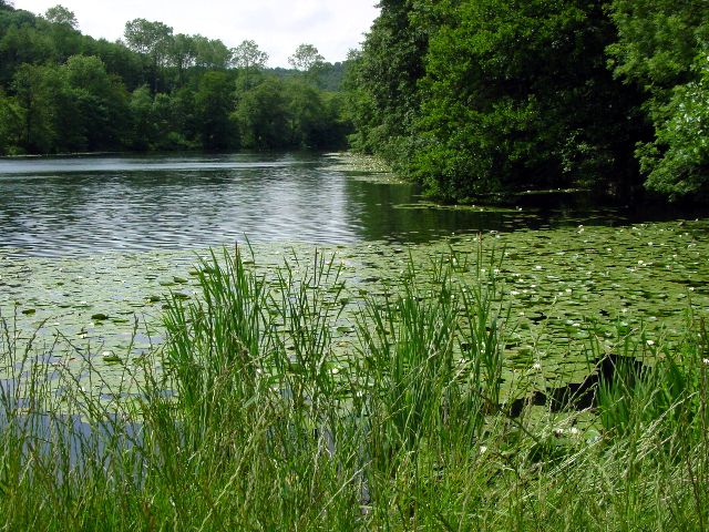
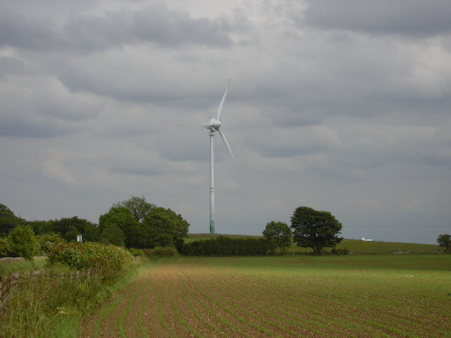
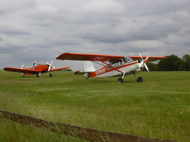
Pen Hill Images

Images are sourced within 2km of 51.720425/-2.2632728 or Grid Reference SO8102. Thanks to Geograph Open Source API. All images are credited.

Woodchester Mansion
Woodchester Mansion
Lake at Woodchester Park
Wind Turbine at Nympsfield A solitary wind turbine just outside the village of Nympsfield in the Cotswolds
Wind Turbine at Nympsfield
A solitary wind turbine just outside the village of Nympsfield in the Cotswolds
Bristol and Gloucestershire Gliding Club Planes on the air strip at the Bristol and Gloucestershire Gliding Club
Bristol and Gloucestershire Gliding Club
Planes on the air strip at the Bristol and Gloucestershire Gliding Club
King's Stanley (Glos) St George's Church The churchyard is exceptionally large and there is an avenue of clipped yew trees .
King's Stanley (Glos) St George's Church
The churchyard is exceptionally large and there is an avenue of clipped yew trees .
Leonard Stanley (Glos) Priory Church Dedicated to St Swithun, remains of the domestic buildings are incorporated in nearby farm buildings.
Leonard Stanley (Glos) Priory Church
Dedicated to St Swithun, remains of the domestic buildings are incorporated in nearby farm buildings.
Views from Selsley Ridge View of Selsley and Caincross
Views from Selsley Ridge
View of Selsley and Caincross
Woodchester Mansion in snow
Parkmill Pond Parkmill Pond is the last in the chain of man-made lakes in Woodchester Park.
Parkmill Pond
Parkmill Pond is the last in the chain of man-made lakes in Woodchester Park.
Kennel Pond This is between Kennel Pond and Parkmill Pond looking towards Kennel Pond. These ponds are a chain of man-made ponds in Woodchester Park.
Kennel Pond
This is between Kennel Pond and Parkmill Pond looking towards Kennel Pond. These ponds are a chain of man-made ponds in Woodchester Park.
Woodchester Mansion Woodchester Mansion is an uncompleted Victorian Dream. This is the ground floor corridor, looking from the entrance hall towards the Drawing Room and Chapel. Now the haunt of rare bats, the house is open to the public at certain times.
Woodchester Mansion
Woodchester Mansion is an uncompleted Victorian Dream. This is the ground floor corridor, looking from the entrance hall towards the Drawing Room and Chapel. Now the haunt of rare bats, the house is open to the public at certain times.
Selsley.  All Saints church This church which was built in 1862, was copied from one in the Austrian Tyrol, the designer was G.F.Bodley.
Selsley. All Saints church
This church which was built in 1862, was copied from one in the Austrian Tyrol, the designer was G.F.Bodley.
North Woodchester church St Mary's Church in north Woodchester was consecrated in 1863.  It replaced a previous church which was located on a different site in Woodchester, and was pulled down in the mid 1800s.
North Woodchester church
St Mary's Church in north Woodchester was consecrated in 1863. It replaced a previous church which was located on a different site in Woodchester, and was pulled down in the mid 1800s.
Uneven ground on Selsley Common The humpy, bumpy nature of the ground in this area of Selsey Common is because there was once a fairly large Cotswold stone (oolitic limestone) quarry here.  The quarry was already disused by 1888, as indicated on maps of that date.
Uneven ground on Selsley Common
The humpy, bumpy nature of the ground in this area of Selsey Common is because there was once a fairly large Cotswold stone (oolitic limestone) quarry here. The quarry was already disused by 1888, as indicated on maps of that date.
Cows on Selsley Common With so much land to roam on, these cows have chosen to find pasture perilously close to the B4066.  Cattle grids placed a strategic locations prevent the cattle from straying from the commonland.
Cows on Selsley Common
With so much land to roam on, these cows have chosen to find pasture perilously close to the B4066. Cattle grids placed a strategic locations prevent the cattle from straying from the commonland.
High Street, King's Stanley Looking up the High Street from the edge of the green opposite the King's Head.
High Street, King's Stanley
Looking up the High Street from the edge of the green opposite the King's Head.
Kings' Stanley: War Memorial and King's Head On the green at King's Stanley, with the High Street on the right.
Kings' Stanley: War Memorial and King's Head
On the green at King's Stanley, with the High Street on the right.
Stanley Mills Important woollen mill. Built 1812-13 and one of the first truly fireproof cloth mills being built of brick with a skeleton of iron arches. Very decorative and much photographed. Now in multiple occupancy.
Stanley Mills
Important woollen mill. Built 1812-13 and one of the first truly fireproof cloth mills being built of brick with a skeleton of iron arches. Very decorative and much photographed. Now in multiple occupancy.
Show me another place!

Pen Hill is located at Grid Ref: SO8102 (Lat: 51.720425, Lng: -2.2632728)

Administrative County: Gloucestershire

District: Stroud

Police Authority: Gloucestershire

What 3 Words

///jammy.montage.unspoiled. Near Stonehouse, Gloucestershire

Nearby Locations

Pen Hill Stanley Wood

Related Wikis

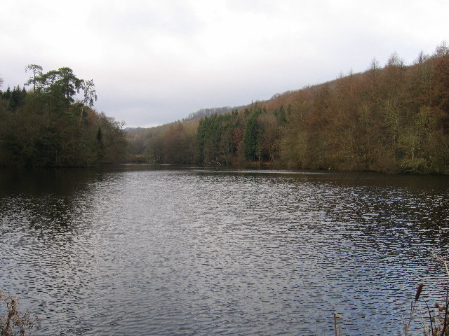
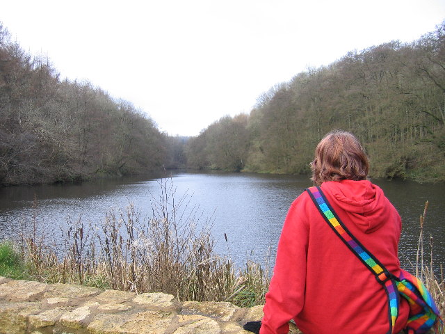
Woodchester Park SSSI

Woodchester Park (grid reference SO820014) is a 214.9-hectare (531-acre) biological Site of Special Scientific Interest in Gloucestershire, notified in...
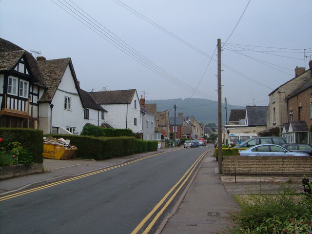
King's Stanley

King's Stanley is a civil parish and village in Gloucestershire, England, to the south of Stonehouse and southwest of the town of Stroud. == Geography... ==

Selsley

Selsley is a village within the civil parish of King's Stanley and district of Stroud, in Gloucestershire, England. It is composed of around 175 houses...

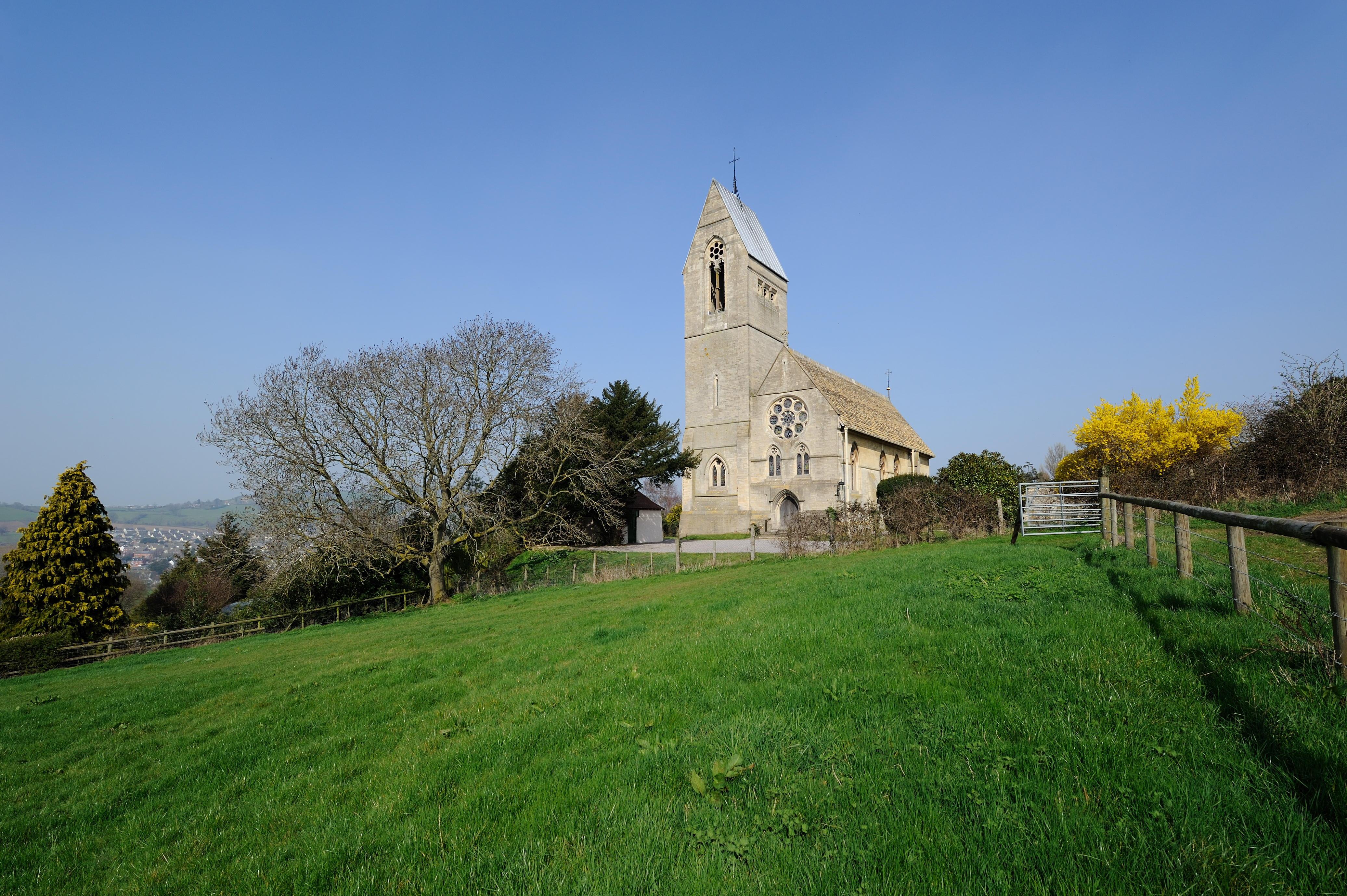
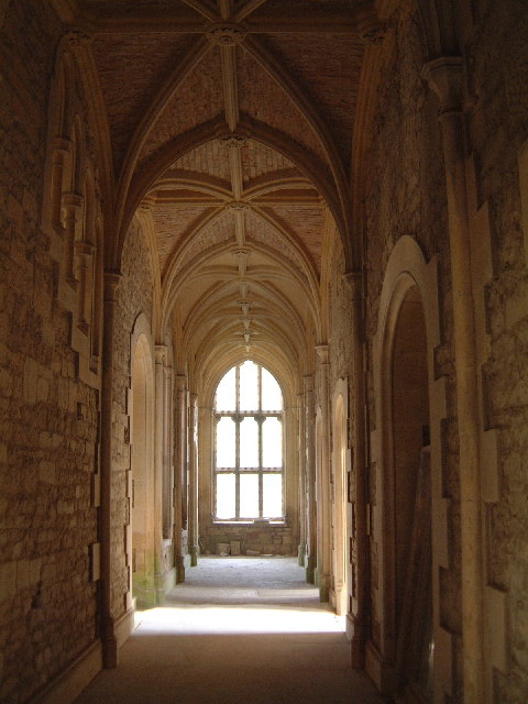
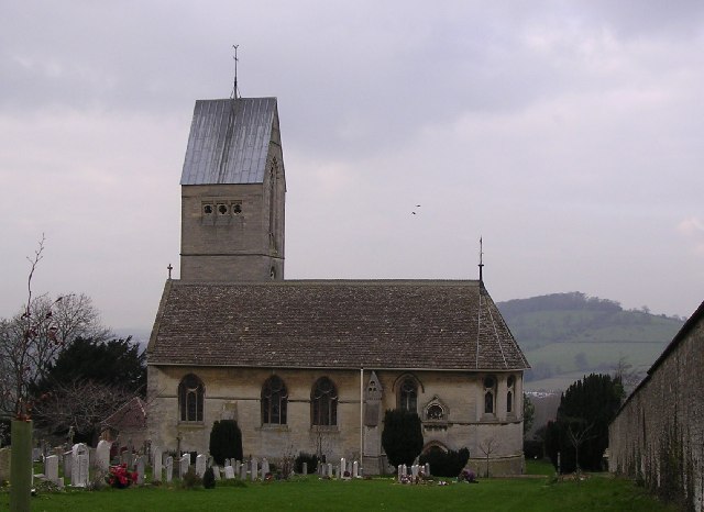
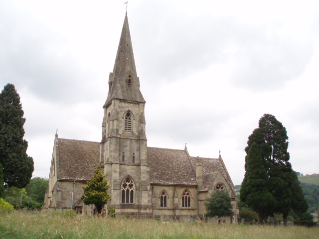
All Saints Church, Selsley

All Saints Church is the parish church for Selsley in Gloucestershire. == Background == It is a celebrated early work by the important church architect...

Nearby Amenities

Located within 500m of 51.720425,-2.2632728
Barrier: stile
Foot: designated
Lat/Long: 51.7231364/-2.2611595
Barrier: stile
Foot: designated
Lat/Long: 51.7243319/-2.2610098
Crossing
Lat/Long: 51.7192078/-2.2600135
Generator Method: photovoltaic
Generator Output Electricity: yes
Generator Source: solar
Generator Type: solar_photovoltaic_panel
Location: roof
Power: generator
Lat/Long: 51.7246008/-2.2637871
The data included in this document is from www.openstreetmap.org. The data is made available under ODbL.

Have you been to Pen Hill?

Leave your review of Pen Hill below (or comments, questions and feedback).