Wham Hill
Hill, Mountain in Lancashire Rossendale
England
Wham Hill

Wham Hill is a prominent hill located in the county of Lancashire, England. Situated near the town of Ramsbottom, it forms part of the West Pennine Moors, which are known for their stunning landscapes and natural beauty. With an elevation of approximately 1,312 feet (400 meters), it offers breathtaking panoramic views of the surrounding areas.
The hill is predominantly covered in heather and grass, creating a vibrant and colorful scenery, especially during the summer months when the heather blooms. Wham Hill is a popular destination for hikers, walkers, and nature enthusiasts, who are drawn to its tranquil atmosphere and diverse wildlife.
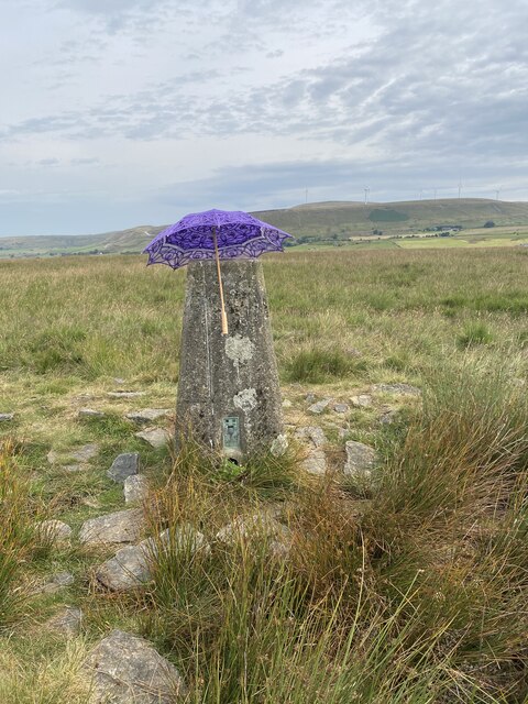
At the summit of Wham Hill, there is a trig point, which serves as a marker for surveying purposes. From this vantage point, one can enjoy sweeping vistas of the nearby towns, rolling hills, and the expansive moorland. On clear days, it is even possible to catch a glimpse of the distant city of Manchester.
Wham Hill is easily accessible, with several footpaths and trails leading to its peak. The ascent can be challenging at times, but the rewarding views and sense of accomplishment make it worthwhile. It is recommended to wear appropriate footwear and carry provisions, as there are limited facilities in the immediate vicinity.
Overall, Wham Hill is a captivating natural landmark in Lancashire, offering visitors a chance to immerse themselves in the stunning beauty of the West Pennine Moors and appreciate the tranquility of the countryside.
If you have any feedback on the listing, please let us know in the comments section below.
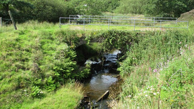
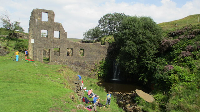
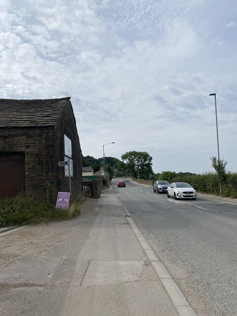
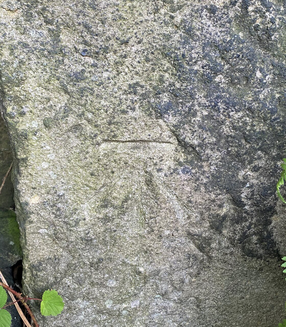
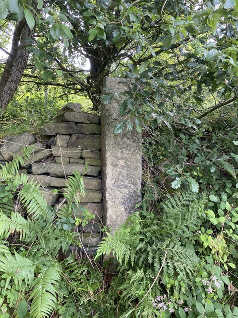
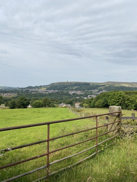
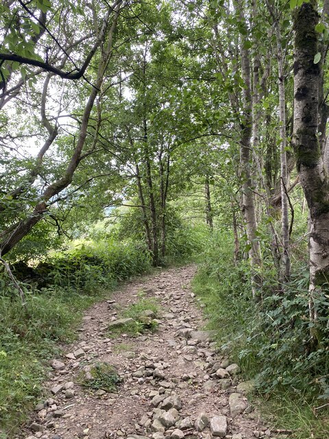
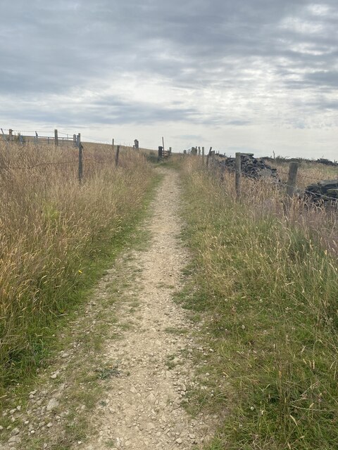
Wham Hill Images
Images are sourced within 2km of 53.646534/-2.2755673 or Grid Reference SD8116. Thanks to Geograph Open Source API. All images are credited.


Wham Hill is located at Grid Ref: SD8116 (Lat: 53.646534, Lng: -2.2755673)
Administrative County: Lancashire
District: Rossendale
Police Authority: Lancashire
What 3 Words
///penned.distanced.ranted. Near Ramsbottom, Manchester
Nearby Locations
Related Wikis

Shuttleworth, Greater Manchester
Shuttleworth is a hamlet at the northeastern extremity of the Metropolitan Borough of Bury, in Greater Manchester, England. It lies amongst the South Pennines...

Ashworth Moor Reservoir
Ashworth Moor Reservoir is an upland water supply reservoir amongst the Pennines in Greater Manchester, England close to the A680 road between Rochdale...

Turn Village
Turn Village is a hamlet in the Rossendale borough of Lancashire, England. It is located in the South Pennines, on the A680 road between Edenfield and...

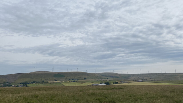
Scout Moor Wind Farm
Scout Moor Wind Farm is the second largest onshore wind farm in England. The wind farm, which was built for Peel Wind Power Ltd, produces electricity from...
Related Videos


Rossendale, Edenfield - 6 mile circular hike. Quick glance at Bury and East Lancashire Railway
6 mile circular hike from Edenfield, Rossendale with approx 900ft elevation. We enjoyed a quick explanation of Bury and its East ...

Nearby Amenities
Located within 500m of 53.646534,-2.2755673Have you been to Wham Hill?
Leave your review of Wham Hill below (or comments, questions and feedback).