Whitber Hill
Hill, Mountain in Yorkshire Craven
England
Whitber Hill
Whitber Hill is a prominent geographical feature located in the county of Yorkshire, England. Rising to an elevation of approximately 500 meters (1,640 feet), it is categorized as a hill rather than a mountain due to its height falling just short of the threshold typically used to distinguish between the two. Nevertheless, its commanding presence and picturesque surroundings make it a notable landmark in the region.
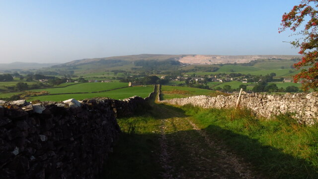
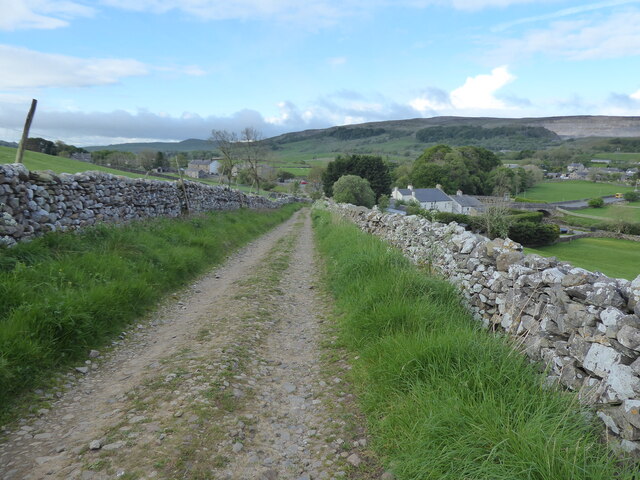
Situated in the heart of the Yorkshire Dales National Park, Whitber Hill offers breathtaking panoramic views of the surrounding countryside. Its location within the national park ensures that the hill is rich in diverse flora and fauna, attracting nature enthusiasts and hikers alike. The hill is characterized by its gently sloping sides, covered in lush green grass, which provides a delightful contrast against the rugged cliffs and crags that adorn its summit.
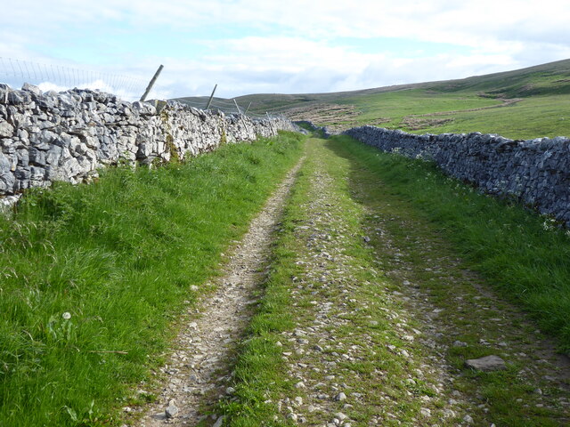
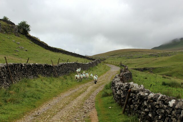
The ascent to the top of Whitber Hill can be challenging but rewarding, with various footpaths and trails available for visitors of different skill levels. The hill is a popular destination for outdoor activities such as hiking, hillwalking, and birdwatching. The summit provides an ideal vantage point to observe the surrounding landscape, including nearby valleys, rolling hills, and scattered villages.
Historically, Whitber Hill has also played a role in the local community. Its name is derived from the Old Norse word "hvitr," meaning white, which may be a reference to the pale limestone rock formations found on the hill. These rocks have been quarried for centuries to provide material for local buildings, adding to the hill's historical significance.
Overall, Whitber Hill stands as an impressive landmark in Yorkshire, offering visitors a chance to immerse themselves in the natural beauty and rich history of the region.
If you have any feedback on the listing, please let us know in the comments section below.
Whitber Hill Images
Images are sourced within 2km of 54.165628/-2.2784111 or Grid Reference SD8174. Thanks to Geograph Open Source API. All images are credited.


Whitber Hill is located at Grid Ref: SD8174 (Lat: 54.165628, Lng: -2.2784111)
Division: West Riding
Administrative County: North Yorkshire
District: Craven
Police Authority: North Yorkshire
What 3 Words
///elaborate.envoy.nodded. Near Settle, North Yorkshire
Nearby Locations
Related Wikis

Three Peaks Cyclo-Cross
The Three Peaks Cyclo-Cross is an annual cyclo-cross event over the Yorkshire three peaks of Ingleborough, Whernside and Pen-y-ghent, in Yorkshire, England...
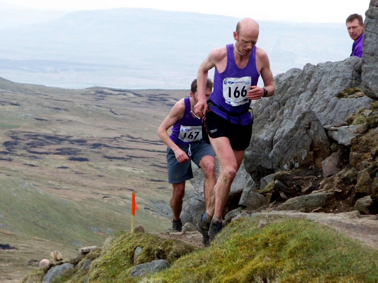
Three Peaks Race
The Three Peaks Race is a fell race held annually on the last weekend in April, starting and finishing in Horton in Ribblesdale. The course traverses the...
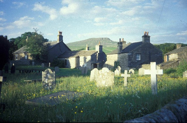
Horton in Ribblesdale
Horton in Ribblesdale is a small village and civil parish in the Craven district of North Yorkshire, England. It is situated in Ribblesdale on the Settle...

Pen-y-ghent
Pen-y-ghent or Penyghent is a fell in the Yorkshire Dales, England. It is the lowest of Yorkshire's Three Peaks at 2,277 feet (694 m); the other two being...
Nearby Amenities
Located within 500m of 54.165628,-2.2784111Have you been to Whitber Hill?
Leave your review of Whitber Hill below (or comments, questions and feedback).