Black Crag
Hill, Mountain in Northumberland
England
Black Crag

Black Crag is a prominent hill located in the county of Northumberland, England. Situated in the northern part of the Northumberland National Park, it rests within the Cheviot Hills range, which extends across the border with Scotland. With an elevation of approximately 335 meters (1,100 feet), Black Crag offers breathtaking panoramic views of the surrounding countryside.
This hill is characterized by its rugged and rocky terrain, formed by the geological processes of the area. The slopes of Black Crag are covered in heather and grasses, creating a picturesque landscape that changes with the seasons. The hill is also home to a variety of flora and fauna, including wildflowers, birds, and small mammals, making it a popular spot for nature enthusiasts.
Black Crag is a favorite destination for hikers and walkers, who can access it via various well-marked trails that wind through the Northumberland National Park. The ascent to the summit is moderate, providing an enjoyable challenge for outdoor enthusiasts of all levels. Once at the top, visitors are rewarded with stunning views of the surrounding hills, valleys, and the distant North Sea.
Due to its location within the Northumberland Dark Sky Park, Black Crag is also an excellent spot for stargazing. On clear nights, the lack of light pollution allows for a remarkable view of the night sky, revealing countless stars and celestial wonders.
Overall, Black Crag is a remarkable natural feature in Northumberland, offering both physical and visual delights for those who venture to its summit.
If you have any feedback on the listing, please let us know in the comments section below.
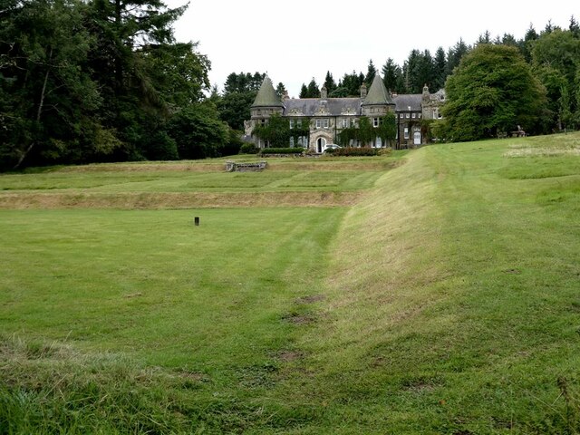
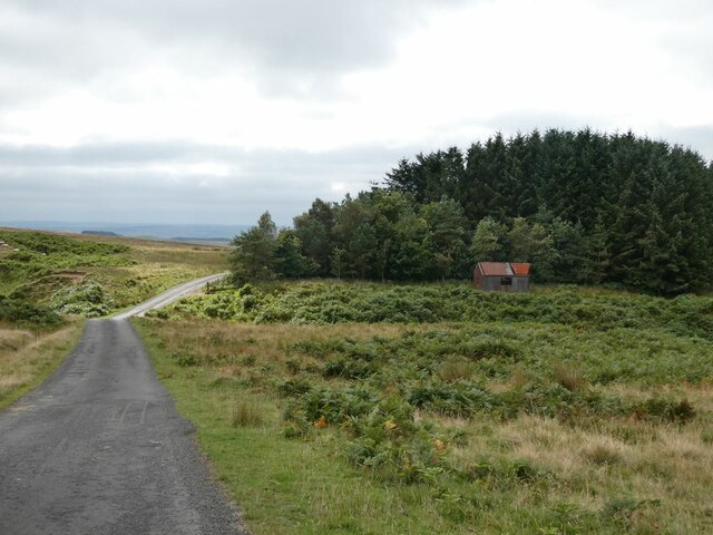
Black Crag Images
Images are sourced within 2km of 55.205314/-2.2930262 or Grid Reference NY8190. Thanks to Geograph Open Source API. All images are credited.


Black Crag is located at Grid Ref: NY8190 (Lat: 55.205314, Lng: -2.2930262)
Unitary Authority: Northumberland
Police Authority: Northumbria
What 3 Words
///monument.multiples.drooling. Near Bellingham, Northumberland
Nearby Locations
Related Wikis

Black Middens Bastle House
Black Middens Bastle House lies about 7 miles (11 km) northwest of Bellingham, Northumberland. It is a two-storey fortified stone farmhouse from the 16th...

Charlton, Northumberland
Charlton is a village in Northumberland, England. It is about 1.5 miles (2.4 km) to the northwest of Bellingham, on the River North Tyne. == Governance... ==
Tarset
Tarset is a civil parish in Northumberland, England, created in 1955 from parts of Bellingham, Tarset West and Thorneyburn parishes. It is 4 miles (6 km...

Tarset Castle
Tarset Castle is a ruin near Tarset in Northumberland. == History == A licence to crenellate was granted to John Comyn in 1267, and the castle was built...
Tarset railway station
Tarset railway station served the civil parish of Tarset, Northumberland, England from 1862 to 1958 on the Border Counties Railway. == History == The station...
Charlton (Northumberland) railway station
Charlton railway station served the village of Charlton, Northumberland, England from 1861 to 1862 on the Border Counties Railway. == History == The station...

Thorneyburn railway station
Thorneyburn railway station served the village of Thorneyburn, Northumberland, England from 1861 to 1956 on the Border Counties Railway. == History... ==
Thorneyburn
Thorneyburn is a village and former civil parish, now in the parish of Tarset, in Northumberland, England, to the northwest of Bellingham. In 1951 the...
Nearby Amenities
Located within 500m of 55.205314,-2.2930262Have you been to Black Crag?
Leave your review of Black Crag below (or comments, questions and feedback).