Badger Hill
Hill, Mountain in Yorkshire Richmondshire
England
Badger Hill

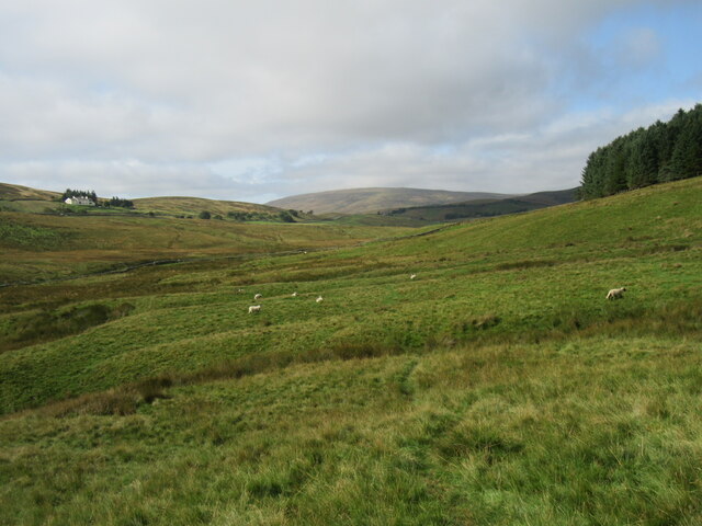
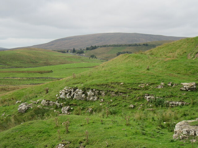
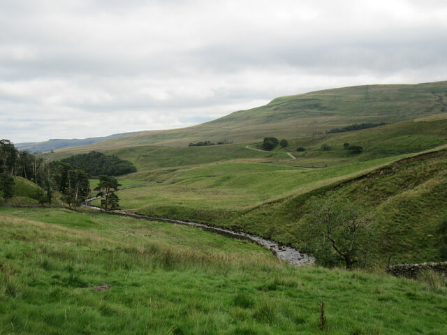
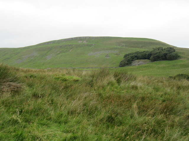
Badger Hill is a prominent hill located in the county of Yorkshire, England. Situated near the city of York, it forms part of the Howardian Hills Area of Outstanding Natural Beauty. Rising to an elevation of approximately 210 meters (690 feet), it offers breathtaking panoramic views of the surrounding countryside.
The hill derives its name from the presence of badgers that inhabit the area. Badger Hill is covered in a variety of vegetation, including patches of dense woodland, open grasslands, and heather moorland, providing a diverse habitat for a range of wildlife species.
Visitors to Badger Hill can explore its numerous walking trails, which wind their way through the picturesque landscape. These trails offer opportunities for leisurely walks, hikes, and nature watching. The hill is particularly popular among birdwatchers, as it provides a habitat for various bird species, including buzzards, kestrels, and owls.
Badger Hill is also steeped in history, with archaeological evidence suggesting human activity in the area dating back to the Neolithic period. The hill is home to several ancient burial mounds, known as barrows, which are believed to be over 4,000 years old. These barrows offer insights into the prehistoric inhabitants of the region and are of great cultural significance.
Overall, Badger Hill offers a tranquil and scenic escape for outdoor enthusiasts, history buffs, and nature lovers alike. Its natural beauty, diverse wildlife, and historical importance make it a must-visit destination for those exploring the Yorkshire region.
If you have any feedback on the listing, please let us know in the comments section below.
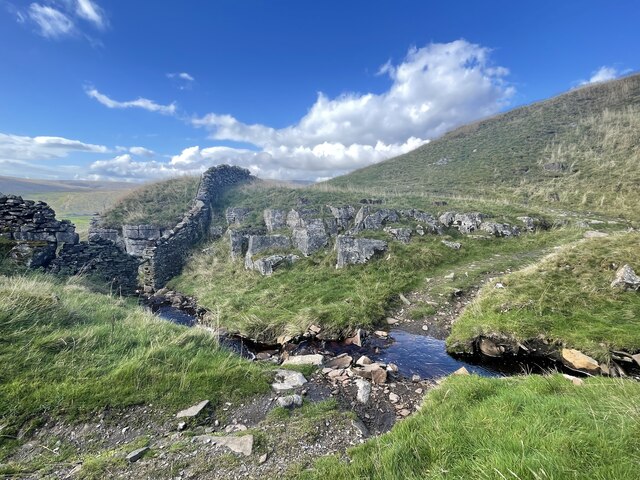
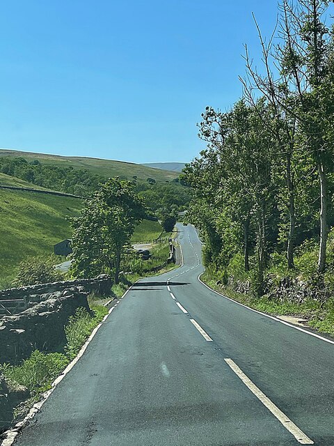
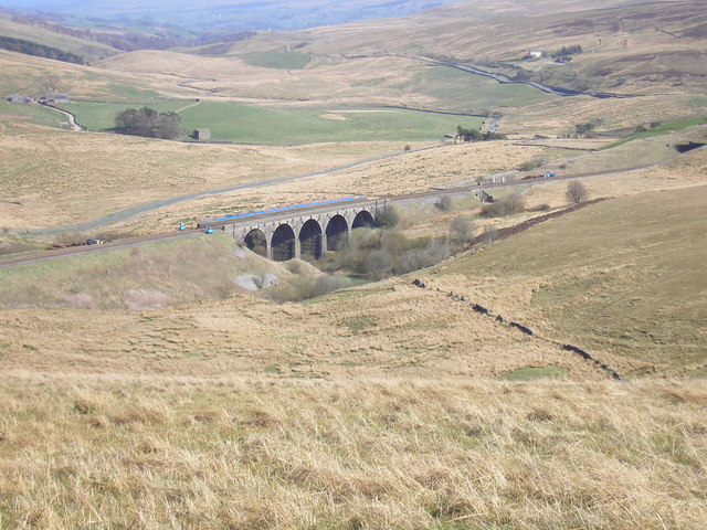
Badger Hill Images
Images are sourced within 2km of 54.326706/-2.286664 or Grid Reference SD8192. Thanks to Geograph Open Source API. All images are credited.


Badger Hill is located at Grid Ref: SD8192 (Lat: 54.326706, Lng: -2.286664)
Division: North Riding
Administrative County: North Yorkshire
District: Richmondshire
Police Authority: North Yorkshire
What 3 Words
///second.wired.increases. Near Sedbergh, Cumbria
Nearby Locations
Related Wikis
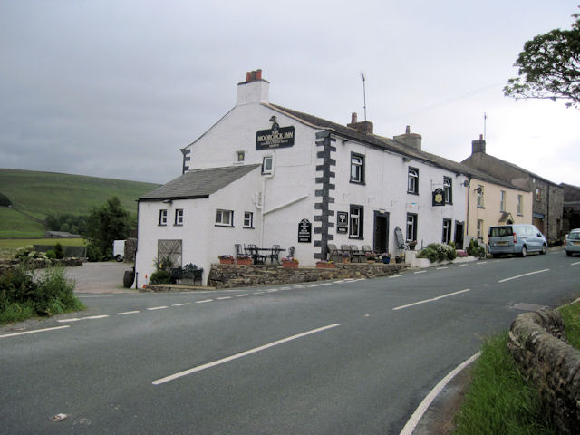
Moorcock Inn
The Moorcock Inn is a public house at the watershed of the Eden, Clough and Ure rivers, in Upper Wensleydale, North Yorkshire, England. It is adjacent...

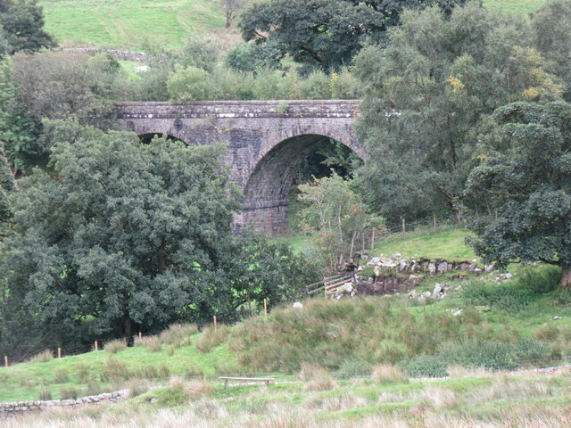
Dandry Mire Viaduct
Dandry Mire Viaduct, (or Dandrymire Viaduct), is a railway viaduct on the Settle & Carlisle line in Cumbria, England. It is just north of Garsdale station...

Cotterdale
Cotterdale is a small side dale and hamlet on the north side of Wensleydale in North Yorkshire, England. The dale lies to the west of Great Shunner Fell...

Garsdale railway station
Garsdale is a railway station in Cumbria, England (historically in the West Riding of Yorkshire), on the Settle and Carlisle Line, which runs between Carlisle...

Garsdale Head
Garsdale Head is a hamlet mainly within the South Lakeland district of Cumbria, England. Historically part of the West Riding of Yorkshire, the hamlet...
Hawes Junction rail crash
The Hawes Junction rail crash occurred at 5.49 am on 24 December 1910, just north of Lunds Viaduct between Hawes Junction (now known as Garsdale station...

Lunds, North Yorkshire
Lunds is a hamlet in North Yorkshire, England, near to the watershed of the Eden and Ure rivers. It is on the border between Cumbria and North Yorkshire...

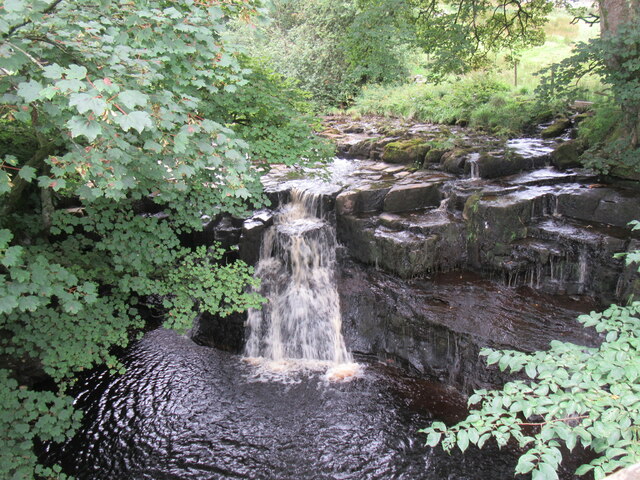
Cotter Force
Cotter Force is a small waterfall on Cotterdale Beck, a minor tributary of the River Ure, near the mouth of Cotterdale, a side dale in Wensleydale, North...
Nearby Amenities
Located within 500m of 54.326706,-2.286664Have you been to Badger Hill?
Leave your review of Badger Hill below (or comments, questions and feedback).