Corse Wood Hill
Hill, Mountain in Gloucestershire Forest of Dean
England
Corse Wood Hill

Corse Wood Hill is a prominent hill located in the county of Gloucestershire, England. It is part of the larger Cotswold Hills, which stretch across several counties in the southwestern region of the country. Rising to an elevation of approximately 210 meters (690 feet), Corse Wood Hill offers stunning panoramic views of the surrounding countryside.
The hill is characterized by its gentle slopes and is covered with a mix of woodland and open grassland. It is home to a diverse range of flora and fauna, including various species of trees such as oak, beech, and birch, as well as an array of wildflowers and grasses. The woodland areas provide habitats for numerous bird species, including woodpeckers and owls, while the grassland attracts butterflies and bees.
Corse Wood Hill is a popular destination for outdoor enthusiasts and nature lovers, offering a range of recreational activities. There are several well-maintained footpaths and trails that crisscross the hill, providing opportunities for hiking, walking, and exploring the beautiful countryside. The hill's elevation also makes it a favorite spot for paragliding and hang gliding, with enthusiasts taking advantage of the favorable wind conditions.
Additionally, Corse Wood Hill holds historical significance, with evidence of ancient settlements and burial mounds found in the surrounding area. The hill is also known for its geological features, including exposed rock formations and quarries that showcase the region's geological history.
Overall, Corse Wood Hill is a picturesque and ecologically diverse hill in Gloucestershire, attracting visitors with its natural beauty, recreational opportunities, and rich cultural heritage.
If you have any feedback on the listing, please let us know in the comments section below.
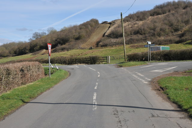
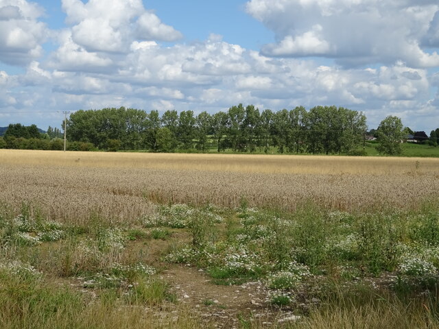
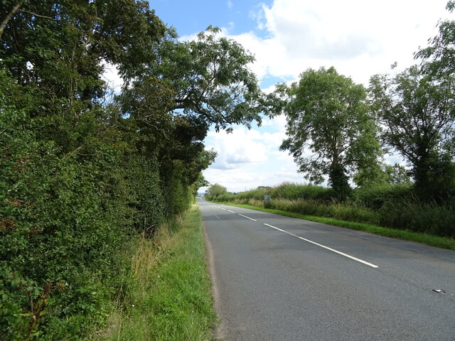
Corse Wood Hill Images
Images are sourced within 2km of 51.955365/-2.2722003 or Grid Reference SO8128. Thanks to Geograph Open Source API. All images are credited.


Corse Wood Hill is located at Grid Ref: SO8128 (Lat: 51.955365, Lng: -2.2722003)
Administrative County: Gloucestershire
District: Forest of Dean
Police Authority: Gloucestershire
What 3 Words
///having.furniture.hinted. Near Corse, Gloucestershire
Nearby Locations
Related Wikis

South Wales Gas Pipeline
The South Wales Gas Pipeline (also known as the Milford Haven pipeline) is the UK's largest high-pressure gas pipeline. The 197-mile (317 km) pipeline...

Hasfield Court
Hasfield Court is a Grade II* listed building in Hasfield, Gloucestershire, England. Hasfield Court was the site of a medieval manor house, the home of...

Foscombe
Foscombe is a grade II* listed country house in Ashleworth, Gloucestershire. It was built around 1860 in the Gothic Revival style for the personal use...

Tirley
Tirley is a village and civil parish in Gloucestershire, England. It is located in the Borough of Tewkesbury district, 4 mi (6 km) south-west of Tewkesbury...
Related Videos

GCSEs geography rivers with Chris and Brian
2 explores take a thrilling expiation up the weak squirt.

Day 1 of the Cheltenham Festival complete
Last flight of the day returning back to Gloucester Airport having completed all our flying for the 1st day of the Cheltenham Festival ...

Pick up from Corse Lawn Hotel, to Cheltenham Festival 2023!
Cheltenham Festival, pick up from a private site. #helicopter #helicoptervideo #jetengine.

Koheesion - To Cut A Long Story Short
Audio track recorded live at Corse & Staunton Village Hall 14th May 2011.
Nearby Amenities
Located within 500m of 51.955365,-2.2722003Have you been to Corse Wood Hill?
Leave your review of Corse Wood Hill below (or comments, questions and feedback).