Cudber Hill

Hill, Mountain in Yorkshire Ribble Valley

England

Cudber Hill

Tree and sheep On the appropriately named Wooly Hill.
Tree and sheep Credit: Phil and Juliette Platt

Cudber Hill is a prominent geological feature located in the county of Yorkshire, England. Situated in the heart of the North York Moors National Park, it is a distinctive hill that rises to an elevation of 549 meters (1,801 feet) above sea level. The hill is composed primarily of sandstone, which has been shaped over millions of years through natural erosion processes, resulting in its distinctive conical shape.

This natural landmark offers breathtaking panoramic views of the surrounding countryside, including the picturesque villages of Castleton and Danby. Visitors can enjoy a variety of outdoor activities in the area, such as hiking, birdwatching, and photography. The hill is home to a diverse range of flora and fauna, including heather moorland, which blooms with vibrant colors during the summer months.

Cudber Hill is also steeped in history, with evidence of human settlements dating back to the Neolithic period. The remains of ancient burial mounds can still be found on its slopes, providing insight into the lives of early inhabitants. Additionally, the hill has been associated with various legends and folklore, adding to its allure and mystique.

Access to Cudber Hill is available via a network of footpaths and trails that wind their way through the surrounding countryside. The hill is a popular destination for both locals and tourists alike, offering a peaceful and tranquil escape from the hustle and bustle of everyday life. Whether seeking adventure or simply a moment of serenity, Cudber Hill is a must-visit destination for nature enthusiasts and history buffs alike.

If you have any feedback on the listing, please let us know in the comments section below.
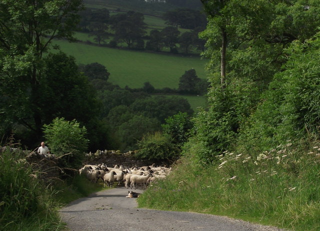
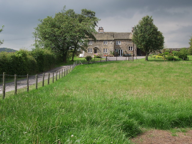
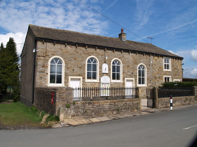
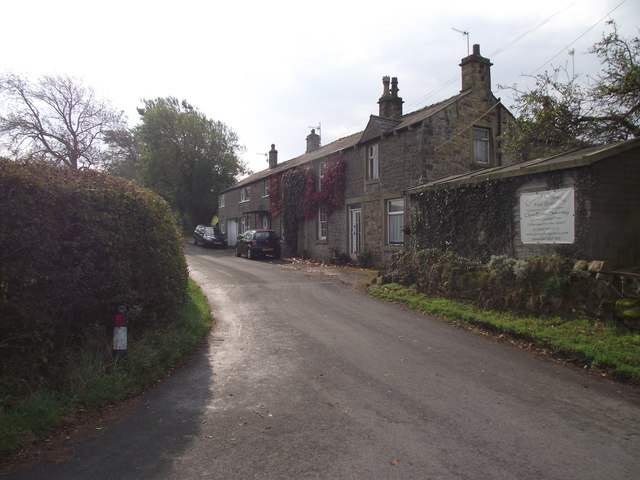
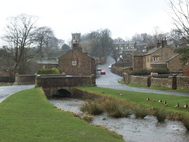
Cudber Hill Images

Images are sourced within 2km of 53.905672/-2.2850038 or Grid Reference SD8145. Thanks to Geograph Open Source API. All images are credited.

Tree and sheep On the appropriately named Wooly Hill.
Tree and sheep
On the appropriately named Wooly Hill.
View from Pendle Road The road crosses moorland near Pendle Hill and connects the villages of Downham and Barley.
View from Pendle Road
The road crosses moorland near Pendle Hill and connects the villages of Downham and Barley.
Barns at Twiston Mill Seemingly unused and semi-derelict, the buildings stand in the valley between Downham and Twiston.
Barns at Twiston Mill
Seemingly unused and semi-derelict, the buildings stand in the valley between Downham and Twiston.
Twiston Mill House and barns Seen from the rear, the house is occupied and in good repair, whereas the barns are disused and derelict.
Twiston Mill House and barns
Seen from the rear, the house is occupied and in good repair, whereas the barns are disused and derelict.
One man and his dog Man and dog work together to move the sheep from one pasture to the next.
One man and his dog
Man and dog work together to move the sheep from one pasture to the next.
Enclosed field boundary The boundary between the two fields is enclosed by wire for about 2 metres. Is this to provide a habitat for wildlife?
Enclosed field boundary
The boundary between the two fields is enclosed by wire for about 2 metres. Is this to provide a habitat for wildlife?
Hill Top Farmhouse Grade two listed building - and no wonder!
Hill Top Farmhouse
Grade two listed building - and no wonder!
Pastures by Twiston Lane Pendle Hill darkened by passing cloud.
Pastures by Twiston Lane
Pendle Hill darkened by passing cloud.
Lower Gate A collection of cottages and barn conversions at the eastern end of Twiston Lane.
Lower Gate
A collection of cottages and barn conversions at the eastern end of Twiston Lane.
Climbers on Witches' Quarry The quarry is a popular evening venue on sunny, summer evenings (especially when a breeze keeps the midges at bay!). The pair on the right are climbing 'Spellbound' graded HVS (5b).
Climbers on Witches' Quarry
The quarry is a popular evening venue on sunny, summer evenings (especially when a breeze keeps the midges at bay!). The pair on the right are climbing 'Spellbound' graded HVS (5b).
Meadow and Pendle Hill Seen from above Witches' Quarry east of Downham.
Meadow and Pendle Hill
Seen from above Witches' Quarry east of Downham.
Sheep above Twiston Beck Looking towards the Big End of Pendle Hill (the camera, not the sheep).
Sheep above Twiston Beck
Looking towards the Big End of Pendle Hill (the camera, not the sheep).
A tree and Pendle Hill This is the view most climbers at Witches' Quarry don't see since they don't often walk to the wall above and look over. The late evening sun is lighting up the north west flanks of Pendle and casting the Big End into shadow.
A tree and Pendle Hill
This is the view most climbers at Witches' Quarry don't see since they don't often walk to the wall above and look over. The late evening sun is lighting up the north west flanks of Pendle and casting the Big End into shadow.
Pendle Hill and a fence above Twiston Beck Long shadows on a late summer evening near Downham.
Pendle Hill and a fence above Twiston Beck
Long shadows on a late summer evening near Downham.
Salem Congregational Chapel The Chapel at the junction of Long Lover Lane,Martin Top lane and Newby Lane, the post box can just be seen, it is built into the wall on the left.
Salem Congregational Chapel
The Chapel at the junction of Long Lover Lane,Martin Top lane and Newby Lane, the post box can just be seen, it is built into the wall on the left.
Main Street, Rimington Rimington is a small village south of the A59, a few miles from Downham.
Main Street, Rimington
Rimington is a small village south of the A59, a few miles from Downham.
Back Lane, Rimington The lane runs parallel to the other thoroughfare in the village, Main Street.
Back Lane, Rimington
The lane runs parallel to the other thoroughfare in the village, Main Street.
Cottages on Martin Top Lane At the junction of Stopper Lane and Martin Top Lane.
Cottages on Martin Top Lane
At the junction of Stopper Lane and Martin Top Lane.
Show me another place!

Cudber Hill is located at Grid Ref: SD8145 (Lat: 53.905672, Lng: -2.2850038)

Division: West Riding

Administrative County: Lancashire

District: Ribble Valley

Police Authority: Lancashire

What 3 Words

///worthy.startles.peach. Near Chatburn, Lancashire

Related Wikis

Rimington

Rimington is a rural village and civil parish in the Ribble Valley, Lancashire, England. The population of the civil parish was 382 at the 2001 Census...

Rimington railway station

Rimington railway station was a railway station that served the small village of Rimington in Lancashire. It was built by the Lancashire and Yorkshire...

Twiston

Twiston is a village and a civil parish in the Ribble Valley District, in the English county of Lancashire. It is near the town of Clitheroe and the village...

Middop

Middop is a rural hamlet and civil parish in Lancashire, England. It is in Ribble Valley district. Middop is near the villages of Rimington and Gisburn...

Downham, Lancashire

Downham is a village and civil parish in Lancashire, England. It is in the Ribble Valley district and at the United Kingdom 2001 census had a population...

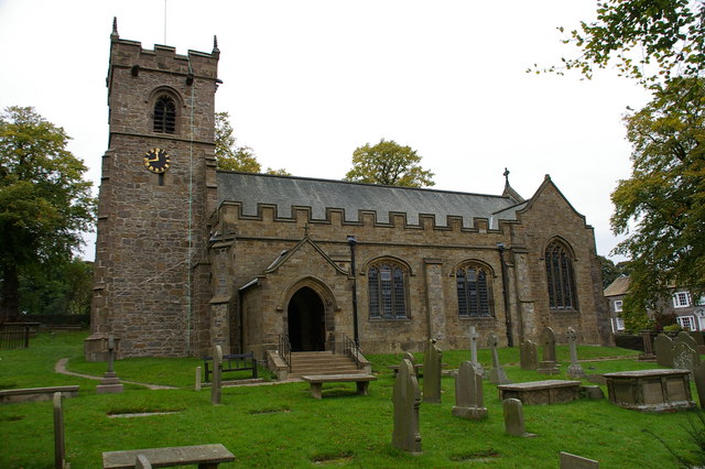
St Leonard's Church, Downham

St Leonard's Church is in the village of Downham, Lancashire, England. It is an active Anglican parish church in the diocese of Blackburn. The tower...

Gisburn

Gisburn (formerly Gisburne) is a village and civil parish within the Ribble Valley borough of Lancashire, England. Historically within the West Riding...
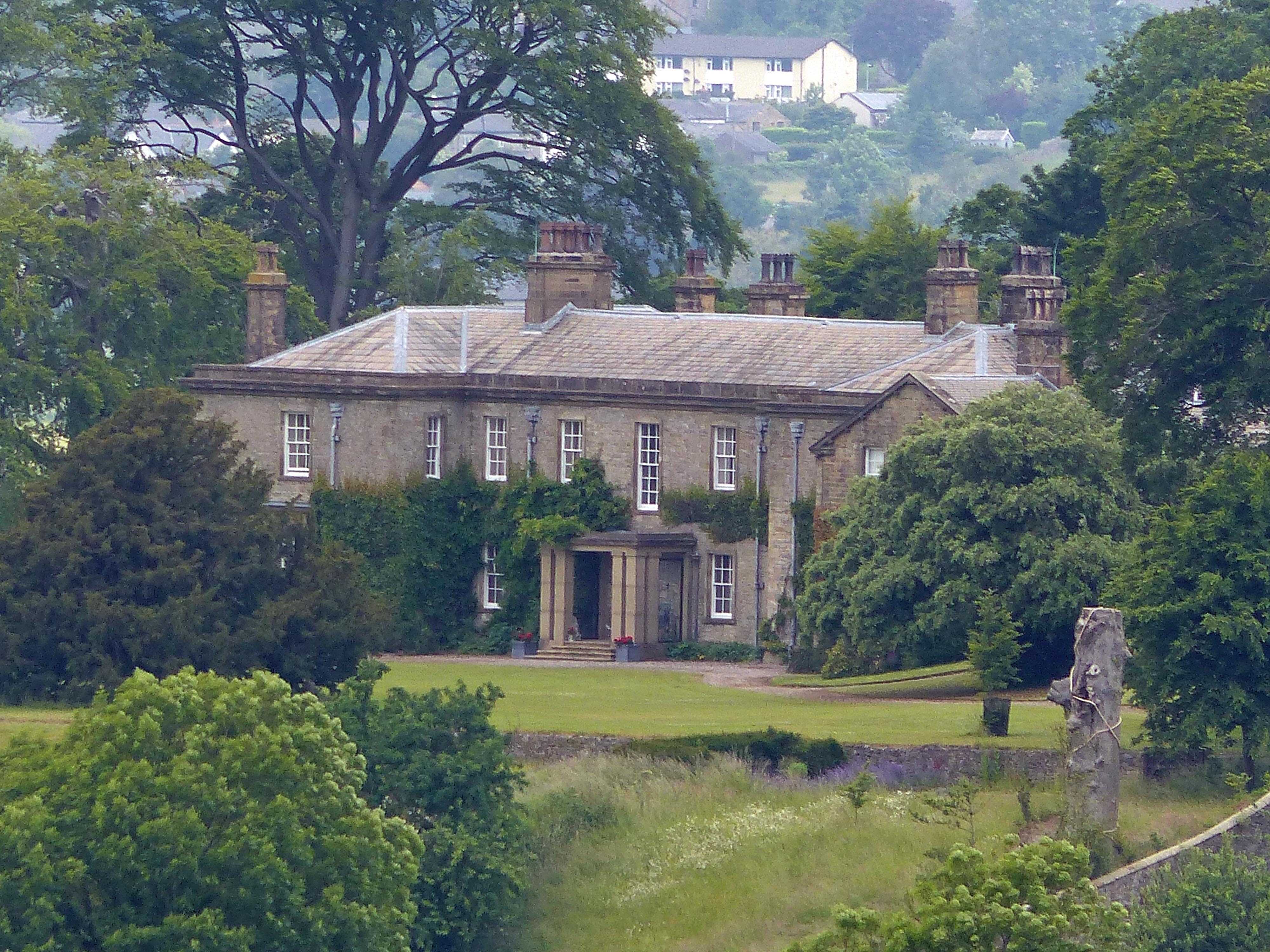
Downham Hall

Downham Hall is an English country house in Downham, Lancashire, England. == Overview == Downham Hall was designed by George Webster (1797–1864) in 1835...

Nearby Amenities

Located within 500m of 53.905672,-2.2850038
old mines
Historic: mine
Source: OS 1:25k
Lat/Long: 53.9017977/-2.2839535
Cudber Hill
Natural: peak
Source: OS 1:25k
Lat/Long: 53.9061849/-2.2827948
Tewit Hill
Natural: peak
Source: OS 1:25k
Lat/Long: 53.9039222/-2.2860146
Post Box
Post Box Type: lamp
Lat/Long: 53.9086393/-2.2871306
Bench
Lat/Long: 53.9086425/-2.2872325
Telephone
Booth: KX100
Covered: booth
Lat/Long: 53.9086409/-2.2871789
The data included in this document is from www.openstreetmap.org. The data is made available under ODbL.

Have you been to Cudber Hill?

Leave your review of Cudber Hill below (or comments, questions and feedback).