Scum Hill
Hill, Mountain in Northumberland
England
Scum Hill
Scum Hill is a prominent hill located in Northumberland, England. It is part of the rolling countryside of the North Pennines, a designated Area of Outstanding Natural Beauty. The hill stands at an elevation of approximately 420 meters (1,378 feet) above sea level, making it an attractive destination for hikers, nature enthusiasts, and outdoor adventurers.
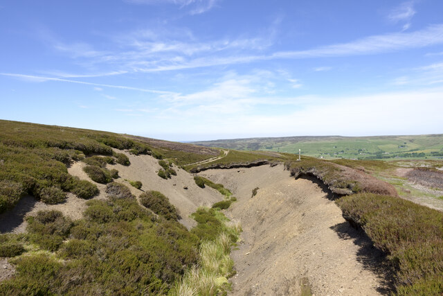
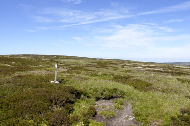
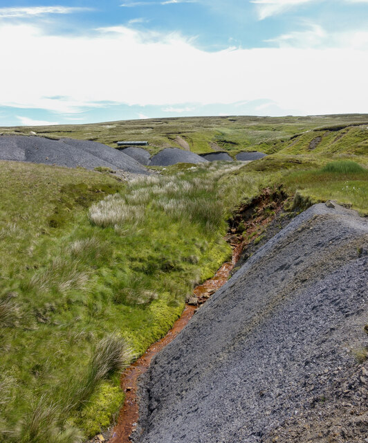
Scum Hill offers breathtaking panoramic views of the surrounding landscape, including the picturesque valleys, moorlands, and distant mountains. On a clear day, visitors can see as far as the Cheviot Hills to the north and the North Sea to the east. The hill is predominantly covered with heather and grass, creating a vibrant and colorful display during the summer months.
The area surrounding Scum Hill is rich in wildlife, with various species of birds, including skylarks and meadow pipits, often spotted in the skies above. The hill is also home to a variety of plant species, such as bilberries and crowberries, which thrive in the acidic soil.
Access to Scum Hill is relatively straightforward, with several footpaths and trails crisscrossing the area. A popular route starts from the nearby village of Allendale and takes hikers on a scenic journey to the summit of Scum Hill. The hike offers a moderate challenge, with some steep sections, but the rewarding views make it well worth the effort.
Overall, Scum Hill is a stunning natural landmark in Northumberland, offering visitors a chance to immerse themselves in the beauty of the North Pennines and enjoy the tranquility of the countryside.
If you have any feedback on the listing, please let us know in the comments section below.
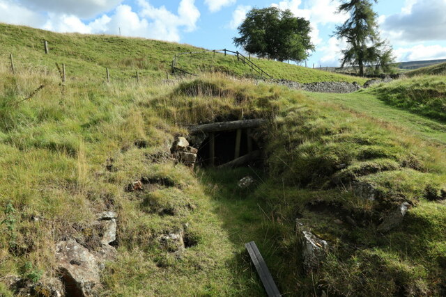
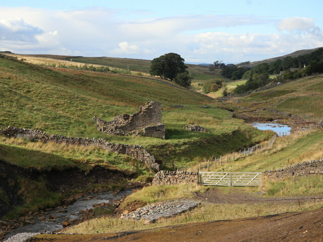
Scum Hill Images
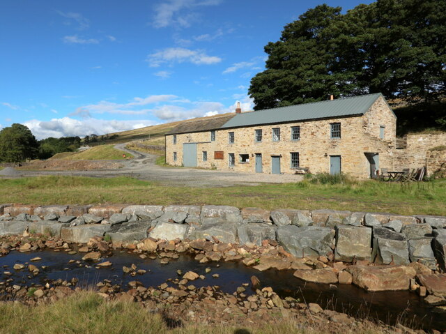
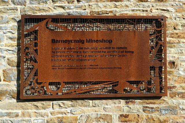
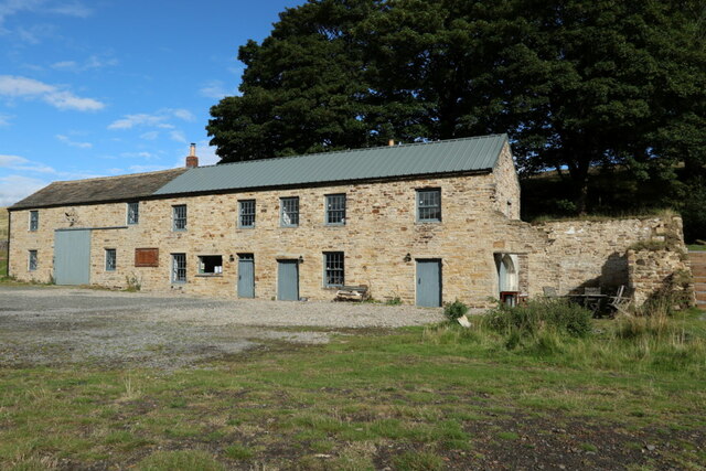
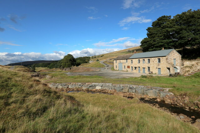
Images are sourced within 2km of 54.813692/-2.2909605 or Grid Reference NY8146. Thanks to Geograph Open Source API. All images are credited.


Scum Hill is located at Grid Ref: NY8146 (Lat: 54.813692, Lng: -2.2909605)
Unitary Authority: Northumberland
Police Authority: Northumbria
What 3 Words
///bluffing.handicaps.commended. Near Alston, Cumbria
Nearby Locations
Related Wikis

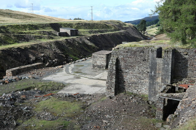
Coalcleugh
Coalcleugh is a hamlet in Northumberland, England. It is situated in the Pennines between Penrith and Hexham. In the past it was well known as a lead mining...

Carr Shield
Carrshield is a village in Northumberland, in England. It is situated in the Pennines approximately between Penrith and Hexham. It is a small village with...

Allendale Moors
Allendale Moors is a Site of Special Scientific Interest (SSSI) in Northumberland, England. The upland moorland ridge site is listed for its heath, flush...
Old Moss Lead Vein
Old Moss Lead Vein, also known as Killhope Head, is a Site of Special Scientific Interest in the Wear Valley district of County Durham, England. It consists...
Nearby Amenities
Located within 500m of 54.813692,-2.2909605Have you been to Scum Hill?
Leave your review of Scum Hill below (or comments, questions and feedback).