Jordon
Settlement in Yorkshire
England
Jordon
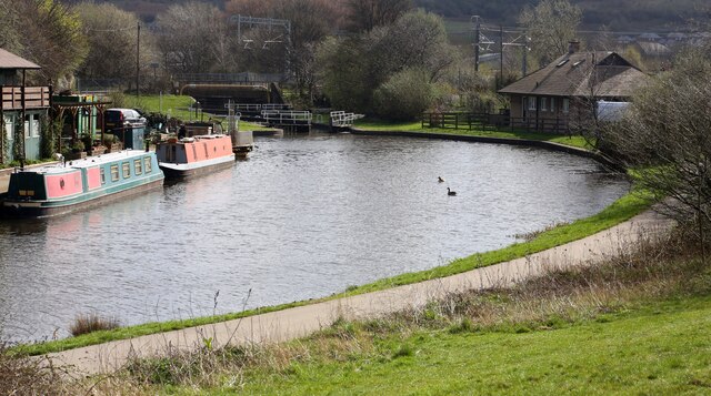
Jordon is a small village located in the Ryedale district of North Yorkshire, England. Situated in the heart of the Howardian Hills, it is approximately 9 miles north of the historic city of York. With a population of just over 150, Jordon is a peaceful and picturesque village surrounded by stunning countryside.
The village is characterized by its charming old stone cottages, some of which date back several centuries, giving it a sense of timeless beauty. The local community is close-knit and friendly, with a strong sense of pride in their village.
One of the most prominent features of Jordon is its proximity to Castle Howard, a magnificent stately home and estate that attracts visitors from far and wide. The estate boasts breathtaking gardens, woodland walks, and a range of activities for all ages.
Despite its small size, Jordon offers a range of amenities for residents and visitors. The village has a community hall, which serves as a hub for various local events and activities. There is also a charming village pub, where locals and visitors can enjoy traditional British pub food and a friendly atmosphere.
Jordon benefits from its rural location, offering residents a peaceful and idyllic lifestyle away from the hustle and bustle of city living. It is surrounded by rolling green hills, providing ample opportunities for outdoor activities such as hiking, cycling, and horse riding.
Overall, Jordon is a hidden gem in Yorkshire, offering a tranquil retreat for those seeking a slower pace of life amidst beautiful countryside.
If you have any feedback on the listing, please let us know in the comments section below.
Jordon Images
Images are sourced within 2km of 53.423286/-1.399544 or Grid Reference SK4092. Thanks to Geograph Open Source API. All images are credited.
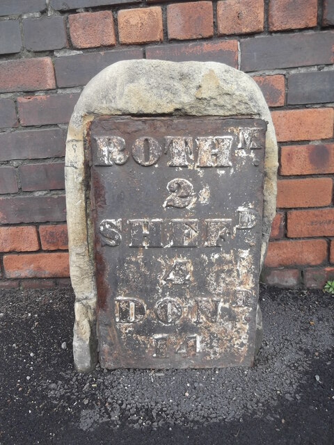
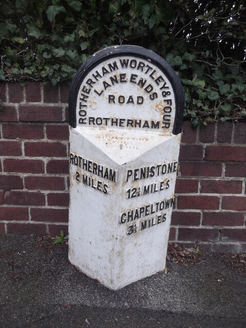


Jordon is located at Grid Ref: SK4092 (Lat: 53.423286, Lng: -1.399544)
Division: West Riding
Unitary Authority: Rotherham
Police Authority: South Yorkshire
What 3 Words
///moved.image.defeat. Near Rotherham, South Yorkshire
Related Wikis

Kimberworth
Kimberworth is a suburb of Rotherham, South Yorkshire, England. It is located in the Metropolitan Borough of Rotherham, about 2 miles (3.5 km) north-west...
Blackburn Meadows
Blackburn Meadows is an area of land just inside the Sheffield city border at Tinsley, England. It became the location of the main sewage treatment works...

Man of Steel (sculpture)
The Steel Man will be a 32-metre-high sculpture and visitor centre located in Rotherham, at Junction 34 of the M1. Its plans, designed by sculptor Steve...
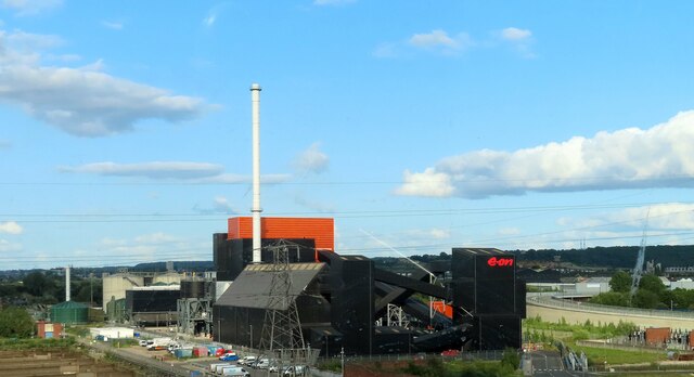
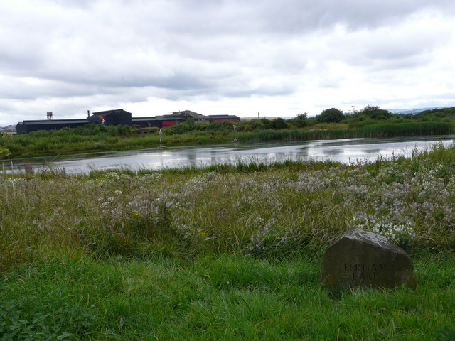
Blackburn Meadows Power Station
Blackburn Meadows power station is a biomass power station situated at Blackburn Meadows on the River Don, between Sheffield and Rotherham in South Yorkshire...
Nearby Amenities
Located within 500m of 53.423286,-1.399544Have you been to Jordon?
Leave your review of Jordon below (or comments, questions and feedback).