Jordanthorpe

Settlement in Derbyshire

England

Jordanthorpe

Roundabout in Coal Aston. Starting point for our Dronfield 2000 rotary walk.
Roundabout in Coal Aston. Credit: steven ruffles

Jordanthorpe is a small village located in the county of Derbyshire, England. Situated approximately 8 miles south of the city of Sheffield, it falls within the administrative boundaries of North East Derbyshire District Council. The village is nestled in the picturesque landscape of the Peak District National Park, offering residents and visitors breathtaking natural beauty and a tranquil atmosphere.

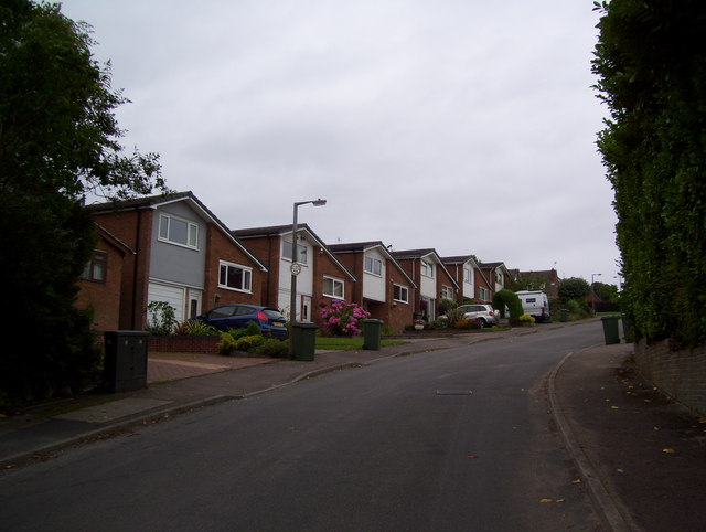
The village is predominantly residential, with a population of around 1,200 people. The housing in Jordanthorpe consists mainly of traditional stone-built cottages and newer modern developments, catering to a variety of housing needs. The community is tight-knit and friendly, with a good sense of community spirit.

Although Jordanthorpe itself is relatively small, it benefits from its proximity to the city of Sheffield, which provides a wealth of amenities and services. The village is well-connected to the city via public transportation, making it an attractive place to live for those who work in Sheffield but prefer a quieter lifestyle.

In terms of facilities, Jordanthorpe has a local primary school, providing education for children in the village and surrounding areas. Additionally, there are a few shops, including a convenience store, to cater to residents' daily needs.

For outdoor enthusiasts, the nearby Peak District National Park offers a range of activities such as hiking, cycling, and nature walks. The park's stunning landscapes, including rolling hills, valleys, and picturesque villages, make it a popular destination for tourists and locals alike.

Overall, Jordanthorpe in Derbyshire offers a peaceful and idyllic setting, combined with easy access to urban amenities, making it an appealing place to reside.

If you have any feedback on the listing, please let us know in the comments section below.
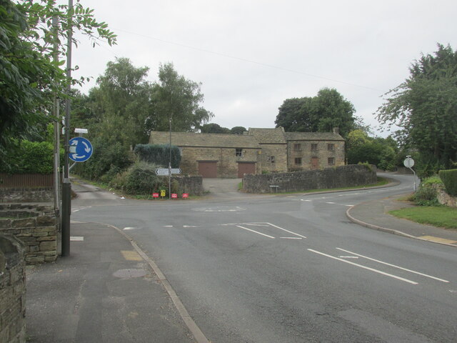
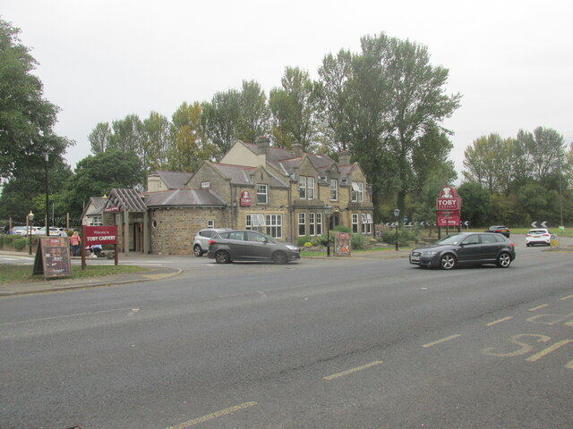
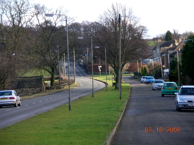
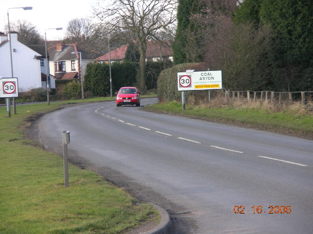
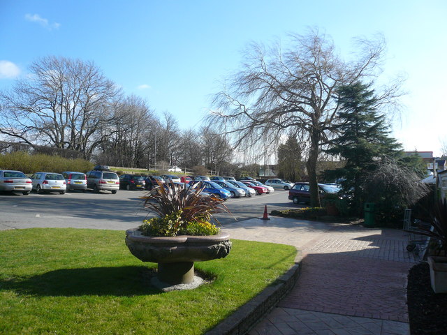
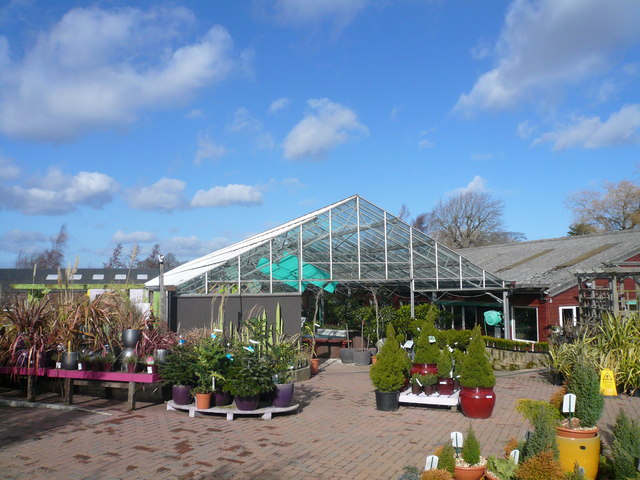
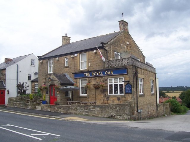
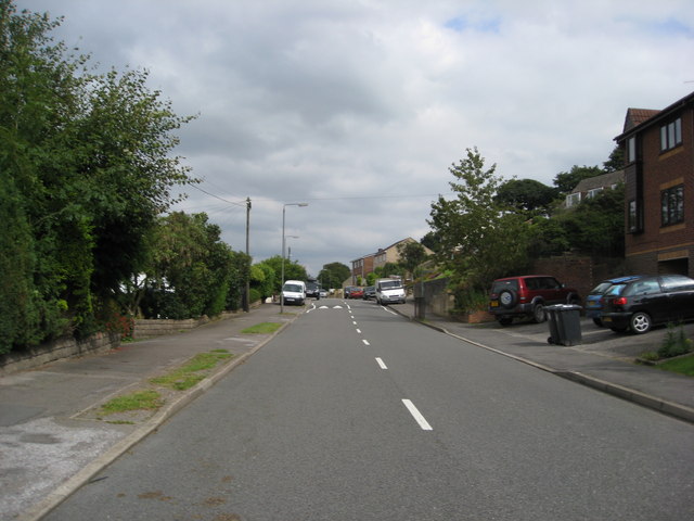
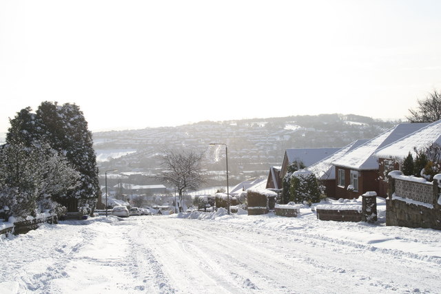
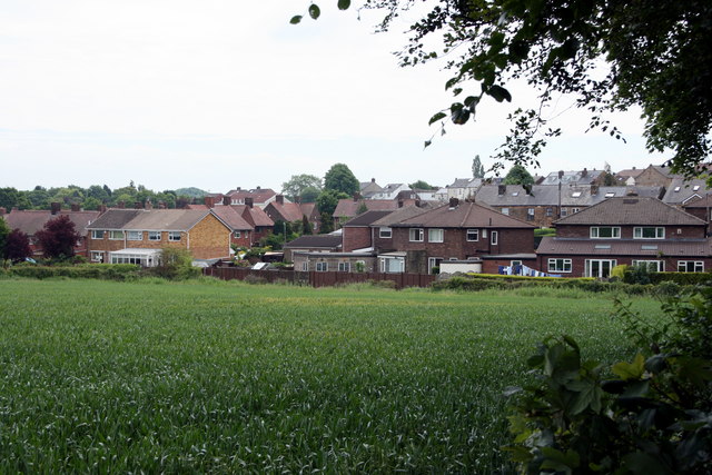
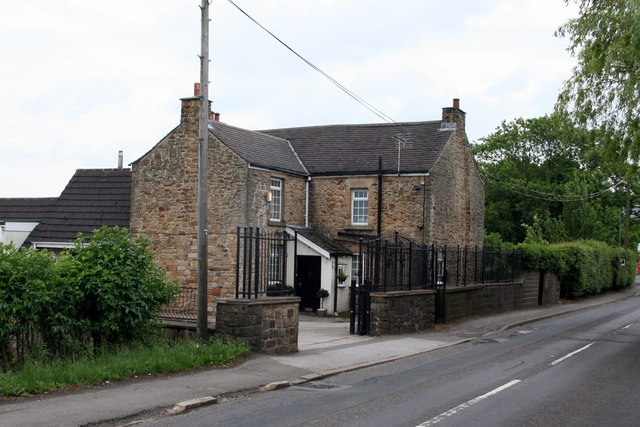
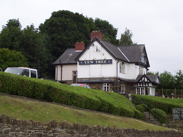
Jordanthorpe Images

Images are sourced within 2km of 53.324943/-1.457221 or Grid Reference SK3681. Thanks to Geograph Open Source API. All images are credited.

Roundabout in Coal Aston. Starting point for our Dronfield 2000 rotary walk.
Roundabout in Coal Aston.
Starting point for our Dronfield 2000 rotary walk.
The Bowshaw pub. Along the road to Dronfield.
The Bowshaw pub.
Along the road to Dronfield.
Coal Aston near Sheffield This view is looking east along Eckington Road in the direction of Chesterfield.
Coal Aston near Sheffield
This view is looking east along Eckington Road in the direction of Chesterfield.
Coal Aston near Sheffield This view is looking in a westerly direction along Eckington Road.
Coal Aston near Sheffield
This view is looking in a westerly direction along Eckington Road.
Westbank Close, Coal Aston, Sheffield.
Sicklebrook Lane Junction with B6056 Woodcock Farm in background.
Sicklebrook Lane Junction with B6056
Woodcock Farm in background.
Owler Car Lane Junction with B6056 Coal Aston can be seen in the distance.
Owler Car Lane Junction with B6056
Coal Aston can be seen in the distance.
Coal Aston - Dyche Lane View from Ferndale Garden Centre
Coal Aston - View from Ferndale Garden Centre Car Park
Coal Aston - Ferndale Garden Centre
The Royal Oak, Coal Aston
Holmley Lane Multiple traffic calming in place.
Holmley Lane
Multiple traffic calming in place.
Bents Lane Coal Aston looking across to Hilltop
Houses, Coal Aston, Derbyshire The rear of Meadow Close and Wilson Road
Houses, Coal Aston, Derbyshire
The rear of Meadow Close and Wilson Road
Dyche Lane, Dronfield, Derbyshire Large house on the outskirts of Coal Aston.
Dyche Lane, Dronfield, Derbyshire
Large house on the outskirts of Coal Aston.
The Yew Tree
The Yew Tree
Derwent Road
Derwent Road
A61 The A61 is a 107 mile long road from Derby to Thirsk.
<span class="nowrap"><a title="http://www.sabre-roads.org.uk/wiki/index.php?title=A61" rel="nofollow ugc noopener" href="http://www.sabre-roads.org.uk/wiki/index.php?title=A61">Link</a><img style="margin-left:2px;" alt="External link" title="External link - shift click to open in new window" src="https://s1.geograph.org.uk/img/external.png" width="10" height="10"/></span>
A61
The A61 is a 107 mile long road from Derby to Thirsk. LinkExternal link
Show me another place!

Jordanthorpe is located at Grid Ref: SK3681 (Lat: 53.324943, Lng: -1.457221)

Unitary Authority: Sheffield

Police Authority: South Yorkshire

What 3 Words

///point.teach.moss. Near Dronfield, Derbyshire

Related Wikis

Meadowhead School

Meadowhead School is a mixed secondary school and Language College with academy status in Sheffield, South Yorkshire, England. There are currently around...
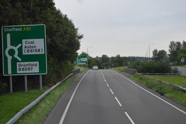
A6102 road

The A6102 is a 4 digit A road in South Yorkshire, England. == Route == It begins in the Greenhill area of Sheffield, at a junction with the A61 (at the...

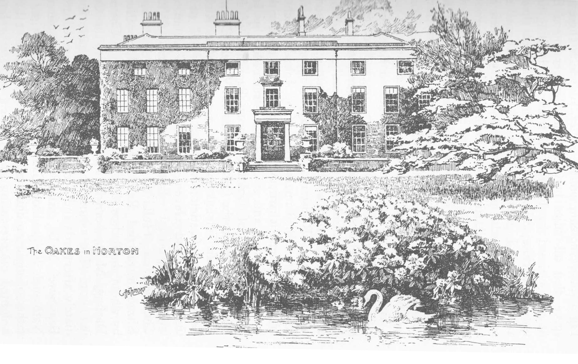
Oakes Park, Sheffield

Oakes Park is a privately owned, historic park land in the green-belt area of south Sheffield. It contains 15 private homes as well as a 17th-century English...

St James, Norton

St James, Norton is the Church of England parish church of the Norton district of Sheffield, South Yorkshire, England. == History == The Domesday Book...

Nearby Amenities

Located within 500m of 53.324943,-1.457221
Turning Circle
Source: Bing
Lat/Long: 53.3245553/-1.4645658
Turning Circle
Source: Bing
Lat/Long: 53.3229399/-1.4607708
Power: substation
Ref GB Uprn: 10013642660
Lat/Long: 53.3226234/-1.4602984
Power: substation
Lat/Long: 53.322793/-1.4628751
Pharmacy
Lloyds Pharmacy
Brand: Lloyds Pharmacy
Brand Wikidata: Q6662870
Dispensing: yes
Healthcare: pharmacy
Lat/Long: 53.3232989/-1.4641294
Power: substation
Ref GB Uprn: 10013645003
Lat/Long: 53.3244083/-1.4641514
Telephone
Booth: KX100
Covered: booth
Lat/Long: 53.3258668/-1.4627746
Turning Circle
Source: Bing
Lat/Long: 53.3263154/-1.4603135
Power: substation
Ref GB Uprn: 10013643875
Lat/Long: 53.3266475/-1.461942
Post Box
Ref: S8 306
Lat/Long: 53.3263424/-1.463078
Bus Stop
Hazlebarrow Road/Ormond Way
Bus: yes
Naptan AtcoCode: 370022042
Naptan Bearing: N
Naptan CommonName: Hazlebarrow Road/Ormond Way
Naptan Indicator: 22042
Naptan Landmark: OPPOSITE NO. 86
Naptan PlusbusZoneRef: CHFD;ROTHCEN
Naptan Street: Hazlebarrow Road
Naptan Verified: no
Network: 38
Public Transport: platform
Source: naptan_import
Lat/Long: 53.3261806/-1.4629963
Bus Stop
Hazlebarrow Road/Ormond Way
Bus: yes
Naptan AtcoCode: 370022043
Naptan Bearing: S
Naptan CommonName: Hazlebarrow Road/Ormond Way
Naptan Indicator: 22043
Naptan Landmark: ROAD JUNCTION
Naptan PlusbusZoneRef: CHFD;ROTHCEN
Naptan Street: Hazlebarrow Road
Naptan Verified: no
Network: 75/79/79A
Public Transport: platform
Source: naptan_import
Lat/Long: 53.3260083/-1.4626992
Bus Stop
Hazlebarrow Road/Hazlebarrow Crescent
Bus: yes
Naptan AtcoCode: 370022063
Naptan Bearing: S
Naptan CommonName: Hazlebarrow Road/Hazlebarrow Crescent
Naptan Indicator: 22063
Naptan Landmark: BESIDE NO. 14
Naptan PlusbusZoneRef: CHFD;ROTHCEN
Naptan Street: Hazlebarrow Road
Naptan Verified: no
Network: 75/79/79A
Public Transport: platform
Source: naptan_import
Lat/Long: 53.3242638/-1.4619293
Bus Stop
Hazlebarrow Road/Hazlebarrow Crescent
Bus: yes
Naptan AtcoCode: 370022064
Naptan Bearing: N
Naptan CommonName: Hazlebarrow Road/Hazlebarrow Crescent
Naptan Indicator: 22064
Naptan Landmark: END ROWS OF HOUSES
Naptan PlusbusZoneRef: CHFD;ROTHCEN
Naptan Street: Hazlebarrow Road
Naptan Verified: no
Network: 38
Public Transport: platform
Source: naptan_import
Lat/Long: 53.3243807/-1.4621122
Bus Stop
Dyche Road/Ormond Road
Alt Name: Dyche Road/Ormond Road
Bus: yes
Naptan AltCommonName: Dyche Road/Ormond Road
Naptan AtcoCode: 370022065
Naptan Bearing: E
Naptan CommonName: Dyche Road/Ormond Road
Naptan Indicator: 22065
Naptan Landmark: HIGH RISE FLATS
Naptan PlusbusZoneRef: CHFD;ROTHCEN
Naptan Street: Dyche Road
Naptan Verified: no
Network: 75/79/79A/M17
Public Transport: platform
Source: naptan_import
Lat/Long: 53.3235014/-1.4640395
Barrier: block
Lat/Long: 53.3238724/-1.4597257
Turning Circle
Source: Bing
Lat/Long: 53.3254264/-1.4619196
Barrier: swing_gate
Lat/Long: 53.3245534/-1.4597289
Dyche Road/Ormond Road
Bus: yes
Public Transport: stop_position
Lat/Long: 53.323542/-1.4640342
Barrier: kissing_gate
Lat/Long: 53.3235788/-1.4557237
Barrier: stile
Lat/Long: 53.323092/-1.4526012
Barrier: kissing_gate
Lat/Long: 53.3231237/-1.4514511
Hazlebarrow Road/Hazlebarrow Crescent
Bus: yes
Public Transport: stop_position
Lat/Long: 53.3243878/-1.4620574
Hazlebarrow Road/Hazlebarrow Crescent
Bus: yes
Public Transport: stop_position
Lat/Long: 53.3242573/-1.4620113
Hazlebarrow Road/Ormond Way
Bus: yes
Public Transport: stop_position
Lat/Long: 53.3261927/-1.4629164
Hazlebarrow Road/Ormond Way
Bus: yes
Public Transport: stop_position
Lat/Long: 53.3259941/-1.4627771
Defibrillator
Access: yes
Check Date: 2023-03-09
Defibrillator Location: On outside wall. Available 24/7.
Emergency: defibrillator
Indoor: no
Opening Hours: 24/7
Lat/Long: 53.3231736/-1.4629358
Grit Bin
Operator: Sheffield City Council
Operator Type: government
Operator Wikidata: Q7492609
Seasonal: no
Lat/Long: 53.3219785/-1.4587187
Grit Bin
Operator: Sheffield City Council
Operator Type: government
Operator Wikidata: Q7492609
Seasonal: no
Lat/Long: 53.3246835/-1.4645698
Grit Bin
Operator: Sheffield City Council
Operator Type: government
Operator Wikidata: Q7492609
Seasonal: no
Lat/Long: 53.3259328/-1.4585485
Grit Bin
Operator: Sheffield City Council
Operator Type: government
Operator Wikidata: Q7492609
Seasonal: no
Lat/Long: 53.3252474/-1.4620404
Grit Bin
Operator: Sheffield City Council
Operator Type: government
Operator Wikidata: Q7492609
Seasonal: no
Lat/Long: 53.3250225/-1.4600014
Grit Bin
Operator: Sheffield City Council
Operator Type: government
Operator Wikidata: Q7492609
Seasonal: no
Lat/Long: 53.326219/-1.4602265
The data included in this document is from www.openstreetmap.org. The data is made available under ODbL.

Have you been to Jordanthorpe?

Leave your review of Jordanthorpe below (or comments, questions and feedback).