Bonnyleigh Hill
Hill, Mountain in Somerset Mendip
England
Bonnyleigh Hill
Bonnyleigh Hill is a picturesque hill located in Somerset, England. It is situated in the southern region of Somerset, approximately 10 miles south of the city of Bristol. Rising to an elevation of 400 meters (1,312 feet), Bonnyleigh Hill is considered one of the highest peaks in the area, offering breathtaking panoramic views of the surrounding countryside.
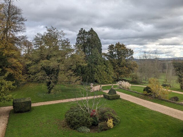
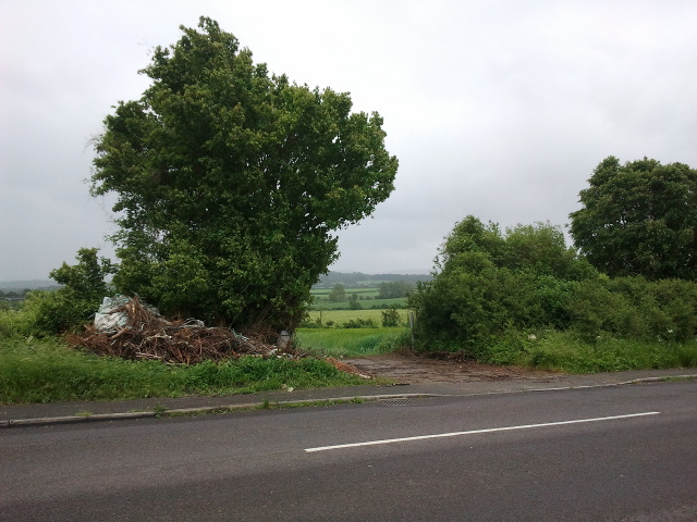
The hill is known for its lush green meadows, dense woodlands, and diverse wildlife, making it a popular destination for nature enthusiasts and hikers. The slopes of Bonnyleigh Hill are covered with a variety of vegetation, including heather, gorse, and wildflowers, creating a vibrant and colorful landscape during the summer months.
At the summit of Bonnyleigh Hill, visitors can find a stone cairn, which is believed to have been built in ancient times as a marker or memorial. The cairn serves as a reminder of the area's rich history and is often a point of interest for those exploring the hill.
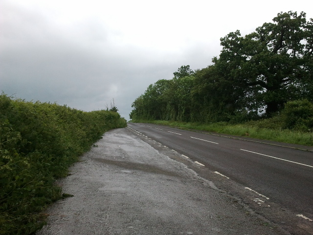
Bonnyleigh Hill is easily accessible by foot, with several footpaths and trails leading to the summit. These trails provide opportunities for walkers of all levels to enjoy the natural beauty of the area and experience the tranquility that Bonnyleigh Hill has to offer.
Overall, Bonnyleigh Hill is a stunning natural landmark in Somerset, boasting breathtaking views, diverse flora and fauna, and a rich historical significance. It continues to attract visitors from near and far, offering a memorable and rewarding experience for all who venture to its summit.
If you have any feedback on the listing, please let us know in the comments section below.
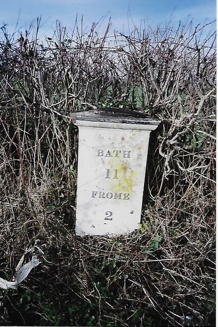
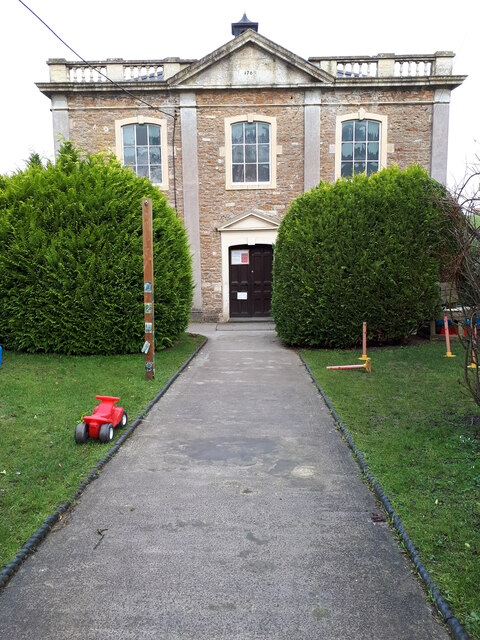
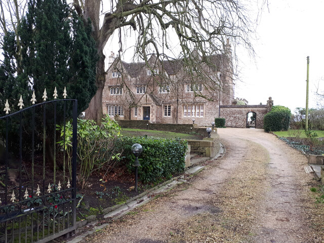
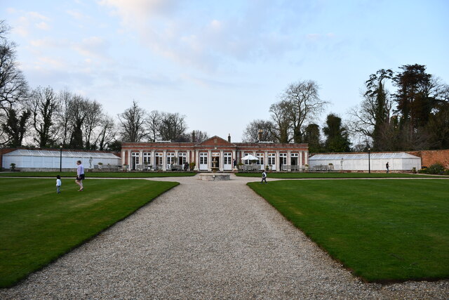
Bonnyleigh Hill Images
Images are sourced within 2km of 51.257233/-2.2985193 or Grid Reference ST7950. Thanks to Geograph Open Source API. All images are credited.


Bonnyleigh Hill is located at Grid Ref: ST7950 (Lat: 51.257233, Lng: -2.2985193)
Administrative County: Somerset
District: Mendip
Police Authority: Avon and Somerset
What 3 Words
///guarding.trappings.journals. Near Rode, Somerset
Nearby Locations
Related Wikis

Beckington Castle
Beckington Castle is a historic house in the village of Beckington, Somerset, England. It is a Grade II* listed building.It was built in the early 17th...

The Wool Hall
The Wool Hall is a recording studio in the village of Beckington, near Frome, Somerset, England. It was originally a residential studio set up by Tears...
Lullington, Somerset
Lullington is a village and civil parish just across the Mells River from Beckington and 2.5 miles (4.0 km) north east of Frome, in the Mendip district...
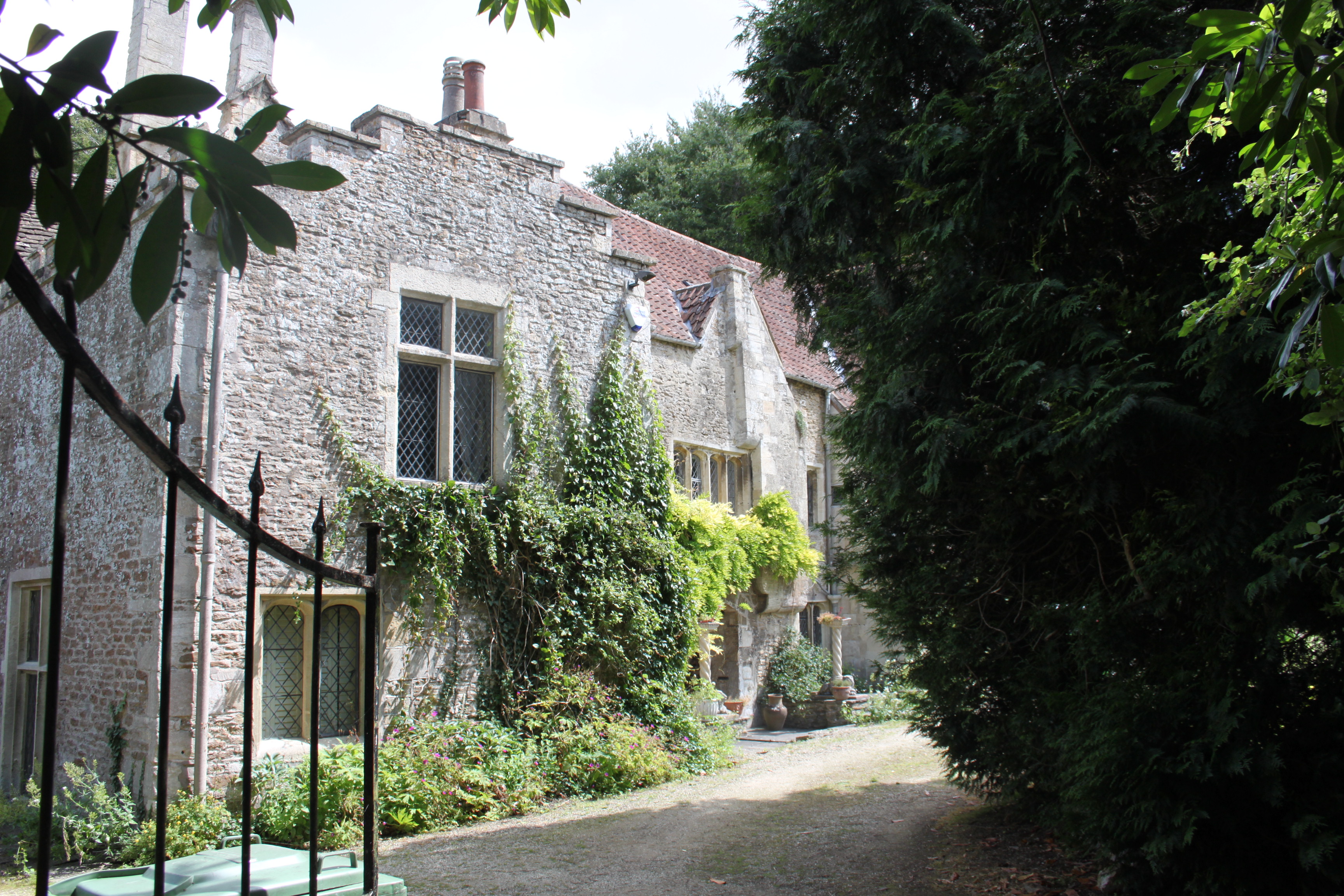
The Abbey, Beckington
The Abbey, Beckington in Beckington, Somerset, England is a historic building that was founded as a monastic grange and also used as a college for priests...

Beckington
Beckington is a village and civil parish in Somerset, England, across the River Frome from Lullington about three miles north of Frome. According to the...
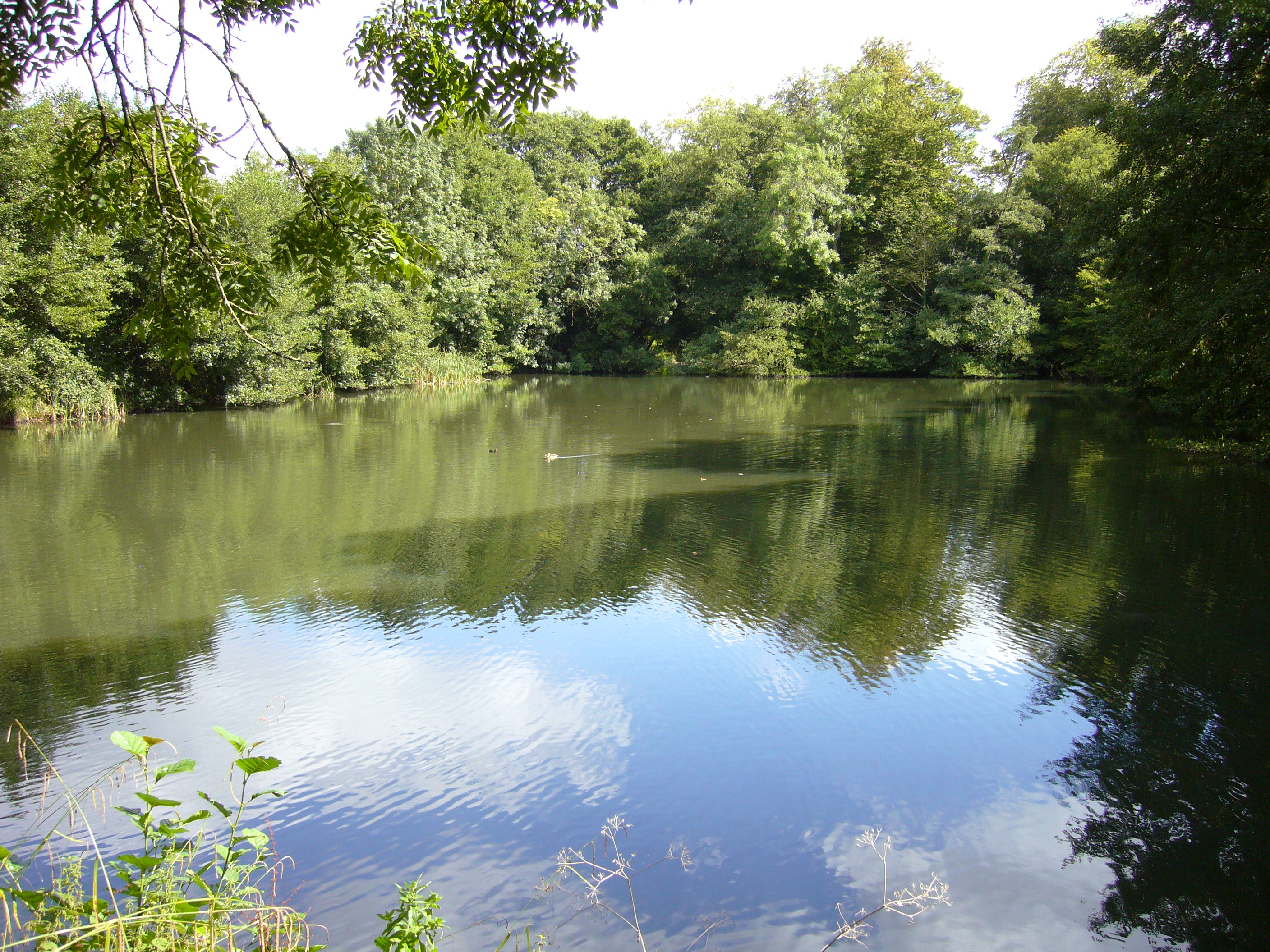
Orchardleigh Lake
Orchardleigh Lake (also spelt Orchardlea) (grid reference ST779508) is an 11.23-hectare artificial lake in the grounds of the Orchardleigh Estate, just...

Orchardleigh Estate
Orchardleigh (also spelled Orchardlea) is a country estate in Somerset, approximately two miles north of Frome, and on the southern edge of the village...
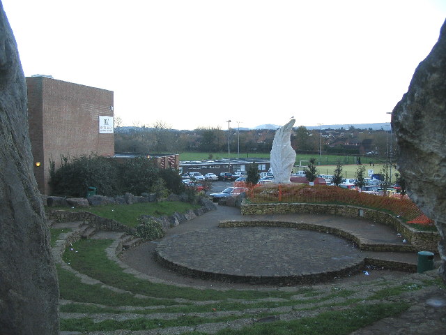
Frome Community College
Frome Community College, styled as Frome College, is a comprehensive school in Frome, Somerset, England for students aged 13 to 18. Approximately 1,200...
Related Videos
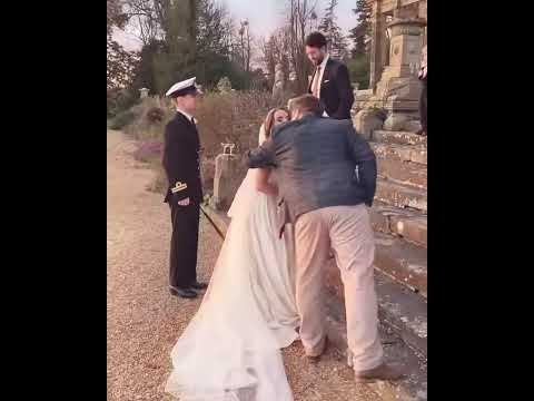
Walking around Orchardliegh estate
On location with the bride and groom Jen and Alex.
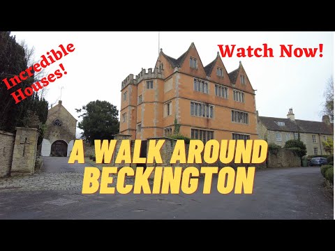
A Walk Around Beckington
Join me as I walk around the village of Beckington in Somerset and explore many interesting features. Music: Music by DJ GONZ ...
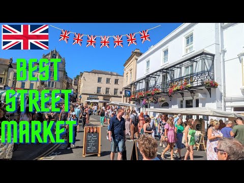
🇬🇧 Marketplace Magic: Your Guide to the Best Street Market Experience in England! - Frome Market!
You can read in detail about this beautiful monthly market from their official website - https://thefromeindependent.org.uk/visit/ ...

Nearby Amenities
Located within 500m of 51.257233,-2.2985193Have you been to Bonnyleigh Hill?
Leave your review of Bonnyleigh Hill below (or comments, questions and feedback).