Graden Hill

Hill, Mountain in Berwickshire

Scotland

Graden Hill

Farm road, Kaimes
Farm road, Kaimes Credit: Richard Webb

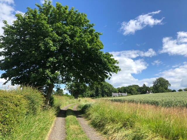
Located in the Scottish Borders region, Graden Hill is a prominent hill in Berwickshire, Scotland. Standing at an elevation of 298 meters (978 feet), it offers stunning panoramic views of the surrounding countryside and the North Sea in the distance. The hill is a popular destination for hikers and outdoor enthusiasts due to its relatively easy access and well-marked trails.

Graden Hill is known for its diverse flora and fauna, with heather-covered slopes and patches of woodland providing habitats for a variety of wildlife. Birdwatchers may spot raptors soaring overhead, while wildflowers bloom in the spring and summer months.

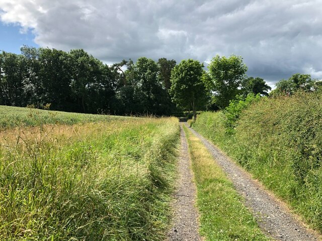
At the summit of Graden Hill, visitors can enjoy uninterrupted views of the rolling hills and valleys of the Scottish Borders, as well as the picturesque coastline. On a clear day, it is possible to see as far as the Farne Islands and the Cheviot Hills.

Overall, Graden Hill is a peaceful and scenic spot for a leisurely hike or a day of exploration in the beautiful Berwickshire countryside.

If you have any feedback on the listing, please let us know in the comments section below.
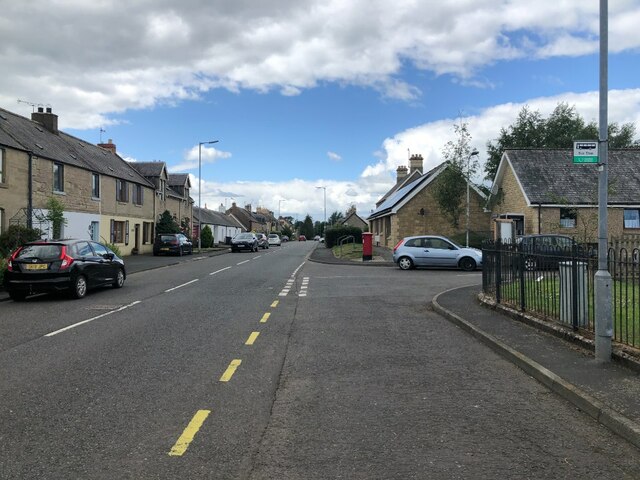
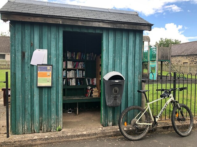
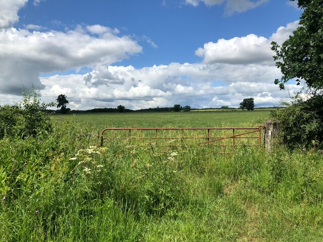
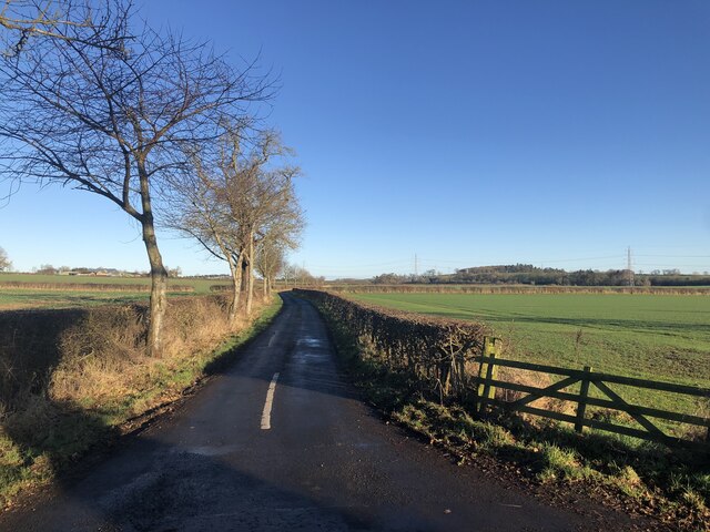
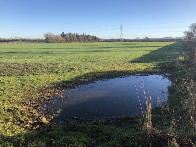
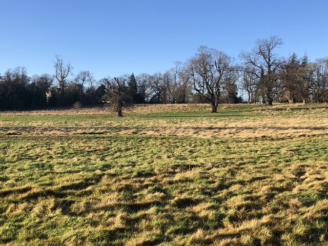
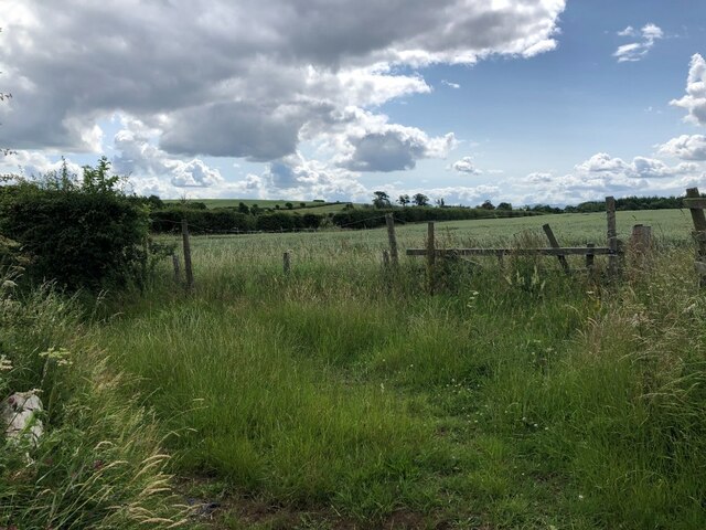
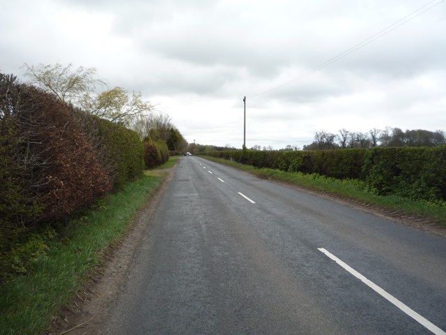
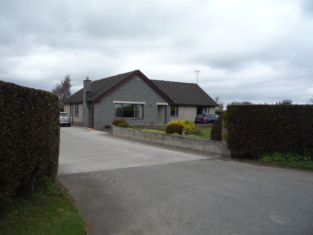
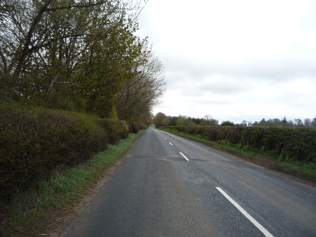
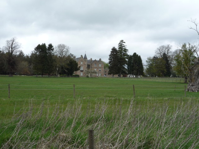
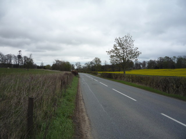
Graden Hill Images

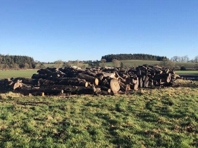
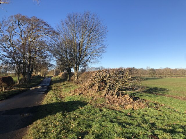
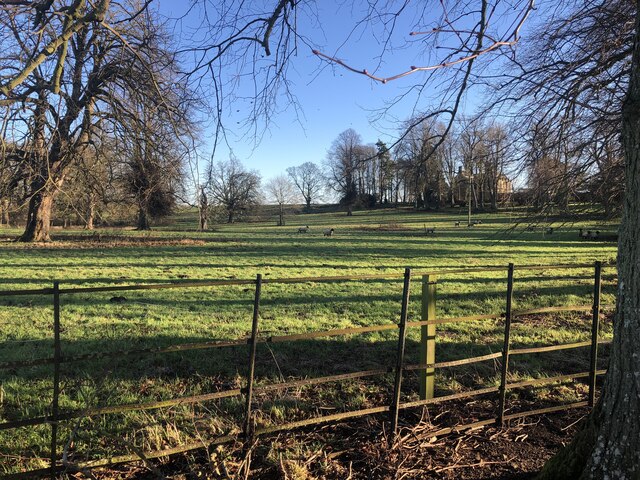
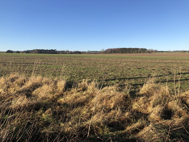
Images are sourced within 2km of 55.694658/-2.3347475 or Grid Reference NT7944. Thanks to Geograph Open Source API. All images are credited.

Farm road, Kaimes
Farm road, Kaimes
B6461, Leitholm
B6461, Leitholm
Bus shelter, Leitholm Thought it would be a good place to sit and have some lunch, but I soon amassed an audience of very annoyed swallows. There were nests in there as well as the books.  Moved out to the nearby playground and all was peaceful again.  Cannot have too many swallows!
Bus shelter, Leitholm
Thought it would be a good place to sit and have some lunch, but I soon amassed an audience of very annoyed swallows. There were nests in there as well as the books. Moved out to the nearby playground and all was peaceful again. Cannot have too many swallows!
Farm road, Kaimes
Farm road, Kaimes
A gate seldom opened Merse arable land.
A gate seldom opened
Merse arable land.
Road south of Leitholm Typical straight Merse road.
Road south of Leitholm
Typical straight Merse road.
Flooded field corner One of the downsides of winter crops.
Flooded field corner
One of the downsides of winter crops.
Parkland, Anton's Hill
Log piles, Kames West Mains
Leitholm to Polwarth road At Kames West Mains
Leitholm to Polwarth road
At Kames West Mains
Parkland, Mersington With Suffolk sheep.
Parkland, Mersington
With Suffolk sheep.
Large arable field, Mersington
Field entrance near Langrig
B6461, Stainrigg Mains Heading north east.
B6461, Stainrigg Mains
Heading north east.
Bungalow, Stainrigg Mains
B6461 towards Berwick Heading north east.
B6461 towards Berwick
Heading north east.
Stainrigg
Stainrigg
B6461, Stainrigg Heading north east.
B6461, Stainrigg
Heading north east.
Show me another place!

Graden Hill is located at Grid Ref: NT7944 (Lat: 55.694658, Lng: -2.3347475)

Unitary Authority: The Scottish Borders

Police Authority: The Lothians and Scottish Borders

What 3 Words

///hardening.composed.deals. Near Coldstream, Scottish Borders

Nearby Locations

Graden Hill Leitholm

Related Wikis

Leitholm

Leitholm (Scots: Leithowm) is a village in the Scottish Borders area of Scotland, 4 miles (6.4 km) north-west of Coldstream, in the former county of Berwickshire...
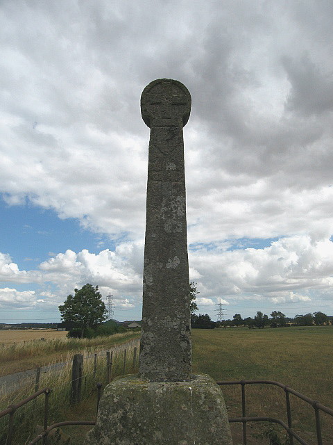
Crosshall cross

The Crosshall Cross is a cross at Crosshall Farm, Eccles, in the Scottish Borders area of Scotland, in historic Berwickshire. The cross is situated near...

Eccles, Scottish Borders

Eccles (Scottish Gaelic: An Eaglais. Brythonic/Welsh: Eglwys) is a village and agricultural parish near Kelso in Berwickshire in the Scottish Borders area...

Fogo, Scottish Borders

Fogo is a village in the county of Berwickshire, in the Borders of Scotland, 3 miles south of Duns, on the Blackadder Water. The name Fogo means "foggage...

Nearby Amenities

Located within 500m of 55.694658,-2.3347475
Leitholm
Is In Country Code: GB
Is In County: Scottish Borders
Is In Historic County: Berwickshire
Place: village
Source: NPE
Wikidata: Q6520418
Wikipedia: en:Leitholm
Lat/Long: 55.690546/-2.3355667
Post Box
Brand: Royal Mail
Brand Wikidata: Q638098
Brand Wikipedia: en:Royal Mail
Mapillary: 582863453087925
Operator: Royal Mail
Operator Wikidata: Q638098
Post Box Type: pillar
Ref: TD12 73
Royal Cypher: scottish_crown
Survey Date: 2021-08-10
Lat/Long: 55.6907868/-2.3348232
Bus Stop
Playground
Naptan AtcoCode: 69001153
Naptan Bearing: W
Naptan CommonName: Playground
Naptan Indicator: opp
Naptan Landmark: Playground
Naptan NaptanCode: 72725472
Naptan Street: B6461
Naptan Verified: no
Source: naptan_import
Lat/Long: 55.6908364/-2.3340983
Village Hall
Naptan AtcoCode: 69001154
Naptan Bearing: W
Naptan BusStopType: CUS
Naptan CommonName: Village Hall
Naptan Indicator: opp
Naptan Landmark: Village Hall
Naptan NaptanCode: 72725483
Naptan Street: B6461
Naptan Verified: no
Source: naptan_import
Lat/Long: 55.6912489/-2.3328272
Buchtrig
Naptan AtcoCode: 69001549
Naptan Bearing: E
Naptan BusStopType: CUS
Naptan CommonName: Buchtrig
Naptan Indicator: West Lodge
Naptan Landmark: West Lodge
Naptan NaptanCode: 72728397
Naptan Street: B6461
Naptan Verified: no
Source: naptan_import
Lat/Long: 55.6944228/-2.3269541
Bus Stop
Leitholm Playground
Bus: yes
Local Ref: AT
Naptan AtcoCode: 6900611
Naptan Bearing: NE
Naptan CommonName: Playground
Naptan Indicator: at
Naptan Landmark: Playground
Naptan NaptanCode: 72724753
Naptan Street: Main Street
Operator: Scottish Borders Council
Public Transport: platform
Ref: 6900611
Source: NaPTAN
Lat/Long: 55.6909114/-2.3344317
Bus Stop
Village Hall
Naptan AtcoCode: 6900612
Naptan Bearing: E
Naptan CommonName: Village Hall
Naptan Indicator: o/s
Naptan Landmark: Village Hall
Naptan NaptanCode: 72724754
Naptan Street: B6461
Naptan Verified: no
Source: naptan_import
Lat/Long: 55.6913423/-2.3330687
Telephone
Booth: KX100
Covered: booth
Mapillary: 1697891397072643
Operator: BT
Survey Date: 2021-08-10
Lat/Long: 55.6908331/-2.3348403
Noexit: yes
Lat/Long: 55.6915009/-2.3332241
Pub
The Plough Inn
Addr Postcode: TD12 4JN
Addr Street: Main Street
Addr Village: Leitholm
Fhrs Id: 769004
Outdoor Seating: yes
Payment Cards: yes
Website: https://www.theploughinnleitholm.co.uk/
Lat/Long: 55.6903588/-2.3356142
Power: pole
Lat/Long: 55.6916679/-2.3396254
Power: pole
Lat/Long: 55.6921509/-2.3381331
Power: pole
Lat/Long: 55.6926712/-2.3369926
Power: pole
Lat/Long: 55.6914036/-2.337161
Power: pole
Lat/Long: 55.69081/-2.3363978
Power: pole
Lat/Long: 55.693117/-2.3360034
Power: pole
Lat/Long: 55.6935604/-2.335042
Power: pole
Lat/Long: 55.6940217/-2.3340741
Power: pole
Lat/Long: 55.6944783/-2.3330701
Power: pole
Lat/Long: 55.6949433/-2.3320873
Power: pole
Lat/Long: 55.6921035/-2.3282671
Power: pole
Lat/Long: 55.6926526/-2.3290836
Power: pole
Lat/Long: 55.6932125/-2.3299022
Power: pole
Lat/Long: 55.6933843/-2.3301559
Power: pole
Lat/Long: 55.6939274/-2.3312857
Power: pole
Lat/Long: 55.6942578/-2.3315373
Power: pole
Lat/Long: 55.6955807/-2.3327183
Power: pole
Lat/Long: 55.6960613/-2.3332065
Power: pole
Lat/Long: 55.696662/-2.3338183
Power: pole
Lat/Long: 55.6972519/-2.3344003
Power: pole
Lat/Long: 55.6978778/-2.3350526
Power: pole
Lat/Long: 55.6984869/-2.3356495
Power: pole
Lat/Long: 55.6974207/-2.3289844
Power: pole
Lat/Long: 55.6967154/-2.3297157
Power: pole
Lat/Long: 55.6959621/-2.3304916
Power: pole
Lat/Long: 55.6954479/-2.3312932
The data included in this document is from www.openstreetmap.org. The data is made available under ODbL.

Have you been to Graden Hill?

Leave your review of Graden Hill below (or comments, questions and feedback).