Rue Hill

Hill, Mountain in Staffordshire Stafford

England

Rue Hill

Crossroads at Knightley The crossing of Riley Lane and Lodge lane close to the village of Woodseaves.
Crossroads at Knightley Credit: Trevor Littlewood

Rue Hill is a prominent geographical feature located in Staffordshire, England. It is classified as a hill rather than a mountain, standing at an elevation of approximately 400 meters (1,312 feet) above sea level. Situated near the town of Leek, Rue Hill offers breathtaking panoramic views of the surrounding countryside.

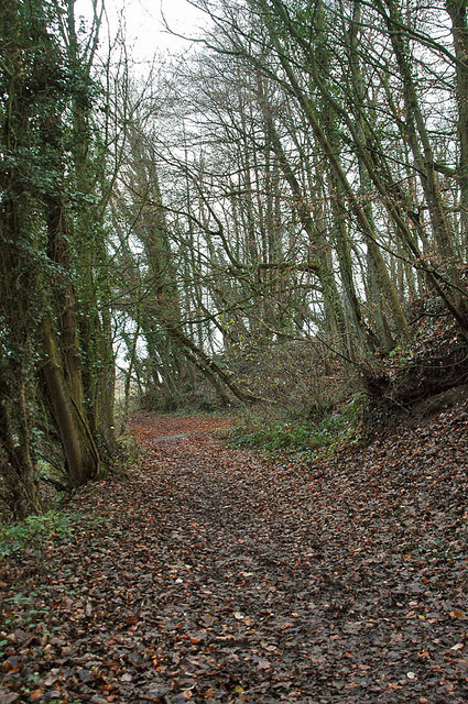
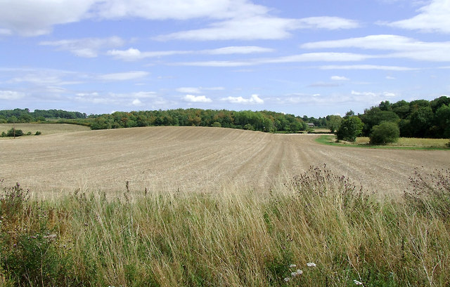
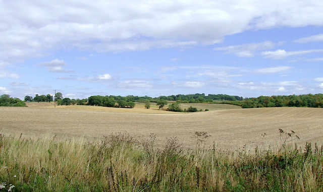
Covered in lush greenery and dotted with a variety of flora and fauna, Rue Hill is an idyllic spot for nature lovers and hikers. The hill is characterized by its gentle slopes, making it easily accessible to visitors who wish to explore its beauty on foot. A well-maintained network of footpaths and trails meander through the area, providing opportunities for leisurely walks and more challenging hikes.

The hill's landscape is a mosaic of picturesque meadows, woodland areas, and rocky outcrops, offering diverse habitats for a range of wildlife species. Birdwatchers can spot various species of birds soaring through the skies, while the woodlands are home to a variety of small mammals and insects.

Rue Hill is also steeped in history, with ancient burial mounds and prehistoric remains found in the vicinity. These archaeological sites add an extra layer of intrigue and fascination to the hill's natural beauty, attracting history enthusiasts and archaeologists alike.

Overall, Rue Hill is a captivating destination for those seeking tranquility, stunning vistas, and a connection to the rich history of Staffordshire.

If you have any feedback on the listing, please let us know in the comments section below.
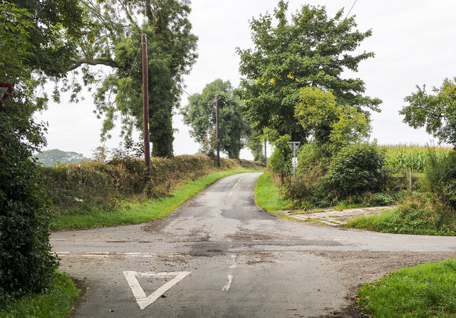
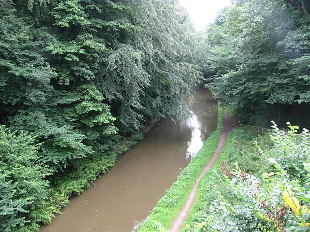
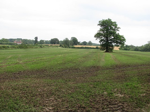
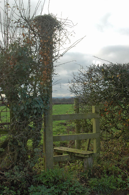
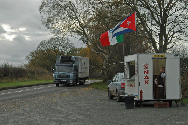
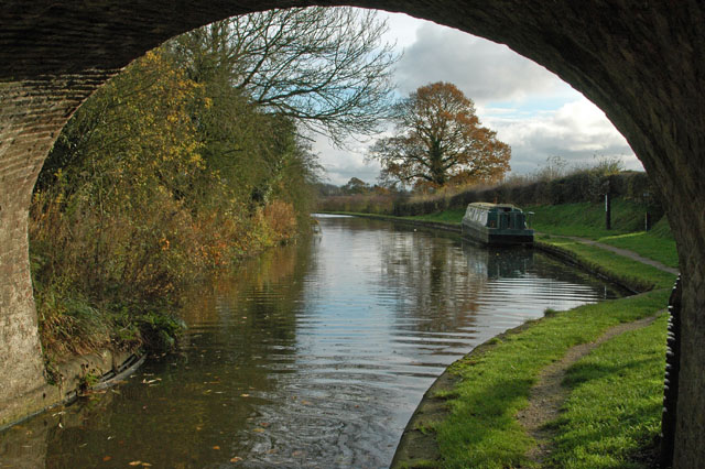
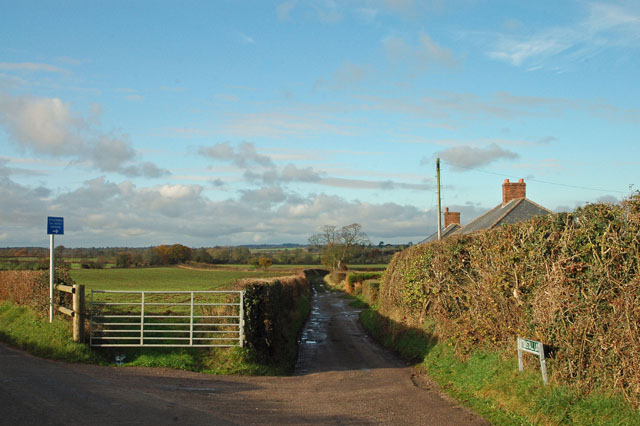
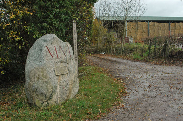
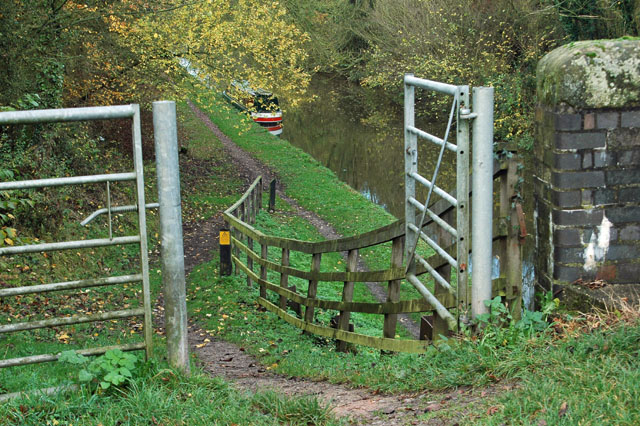
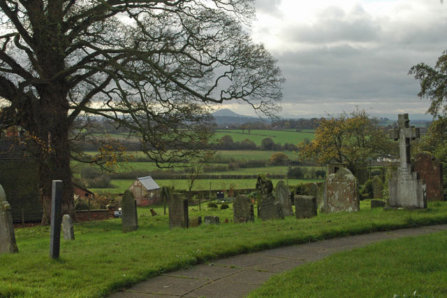
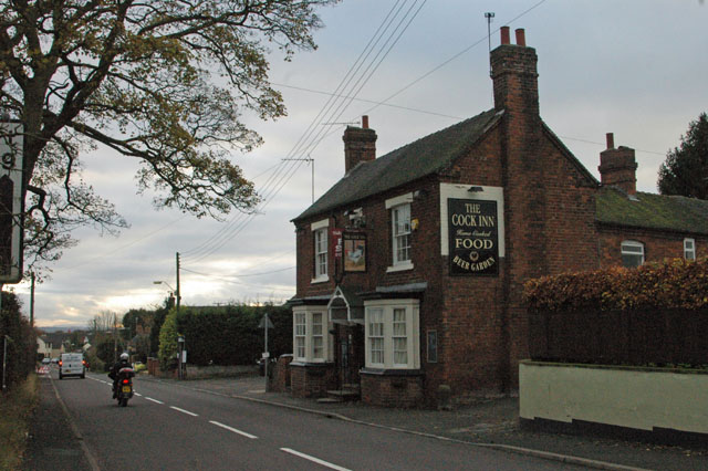
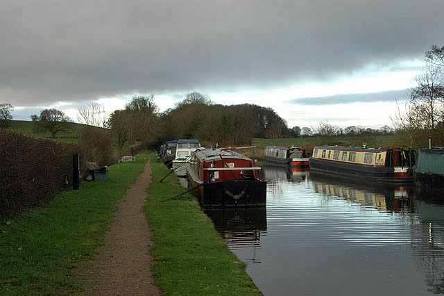
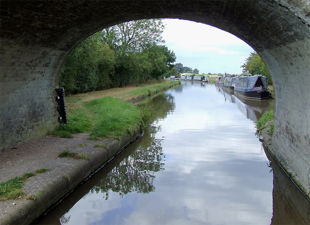
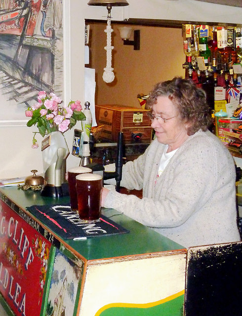
Rue Hill Images

Images are sourced within 2km of 52.819506/-2.3186762 or Grid Reference SJ7824. Thanks to Geograph Open Source API. All images are credited.

Crossroads at Knightley The crossing of Riley Lane and Lodge lane close to the village of Woodseaves.
Crossroads at Knightley
The crossing of Riley Lane and Lodge lane close to the village of Woodseaves.
Shropshire Union Canal View from the High Bridge.
Shropshire Union Canal
View from the High Bridge.
A muddy field Silage has just been taken off this field, and vehicle movements have made things muddy. A lone tree in the middle of a field is often a sign that there was once a hedge there.
A muddy field
Silage has just been taken off this field, and vehicle movements have made things muddy. A lone tree in the middle of a field is often a sign that there was once a hedge there.
Stile on footpath to Leawood
Roadside 'greasy spoon' Look closely at the person in the 'cafe' and you will see him providing an unusual 'welcome' sign. I was going to purchase a buttie but not after that 'comment'.
Roadside 'greasy spoon'
Look closely at the person in the 'cafe' and you will see him providing an unusual 'welcome' sign. I was going to purchase a buttie but not after that 'comment'.
The Shroppie at the Anchor
Not suitable for motor vehicles - southern end of Tunstall Lane
A 'Millennium Stone' on Grubb Street
Gateway to the Shroppie
High Offley churchyard The high hill in the background is 'The Wrekin', just south of Wellington and the A5.
High Offley churchyard
The high hill in the background is 'The Wrekin', just south of Wellington and the A5.
The Cock Inn at Woodseaves
Shropshire Union Canal - just north of Norbury
Woodland near the Shropshire Union Canal
Arable fields east of Norbury, Staffordshire Seen from the Shropshire Union Canal, the woodland ahead is Little Campions; that by the right edge is Moat Covert.
Arable fields east of Norbury, Staffordshire
Seen from the Shropshire Union Canal, the woodland ahead is Little Campions; that by the right edge is Moat Covert.
Arable fields east of Norbury, Staffordshire Seen from the Shropshire Union Canal, the woodland at the right edge is known as Little Campions. Straight ahead and more distant are Gorsey Covert and Ball's Rough, on the skyline.
Arable fields east of Norbury, Staffordshire
Seen from the Shropshire Union Canal, the woodland at the right edge is known as Little Campions. Straight ahead and more distant are Gorsey Covert and Ball's Rough, on the skyline.
Bullock's Bridge near High Offley, Shropshire Bridge No 43 across the Shropshire Union Canal carries a farm track from Old Lea Farm (off to the left) and a bridleway.
Bullock's Bridge near High Offley, Shropshire
Bridge No 43 across the Shropshire Union Canal carries a farm track from Old Lea Farm (off to the left) and a bridleway.
Moorings by Bullock's Bridge near High Offley, Shropshire Bridge No 43 across the Shropshire Union Canal carries a farm track from Old Lea Farm (off to the left) and a bridleway.Private long-term moorings are on the right. Visitor moorings are good east of this bridge.
Moorings by Bullock's Bridge near High Offley, Shropshire
Bridge No 43 across the Shropshire Union Canal carries a farm track from Old Lea Farm (off to the left) and a bridleway.Private long-term moorings are on the right. Visitor moorings are good east of this bridge.
The north bar at the Anchor Inn, High Offley This legendary canalside public house has its two front rooms as bars, the rest of the building being the landlady's living accommodation. As can be seen here, the actual serving counter is very small (the same as in the other room), but has space for the recently installed hand pump for serving the Wadworth's 6x; until recently Olive (shown here) would fetch a jug of beer from the cellar and decant it into glasses - she still tops up using the jug, so you get a "full pint" of ale. There is also room on the bar for another pump which I believe dispenses a very cold liquid. There are two similar pumps in the other bar which has been redecorated recently.

Update: The Anchor was forced to close in 2020-21 because of the impossibility of operating indoor "social distancing" during during the Covid-19 pandemic.

Update: Olive Cliff, the landlady for over fifty years, passed away on 28 April 2021. Elaine will be reopening the pub after Covid-19 restrictions are lifted.

<a href="https://www.geograph.org.uk/photo/1394162">SJ7725 : The Anchor Inn at High Offley, Staffordshire</a>
<a href="https://www.geograph.org.uk/photo/1598513">SJ7725 : The Anchor Inn at High Offley, Staffordshire</a>
<a href="https://www.geograph.org.uk/photo/547982">SJ7725 : Floral narrowboat, The Anchor Inn, High Offley, Staffordshire</a>
<a href="https://www.geograph.org.uk/photo/547978">SJ7725 : A Floral Anchor Inn, High Offley, Staffordshire</a>
The north bar at the Anchor Inn, High Offley
This legendary canalside public house has its two front rooms as bars, the rest of the building being the landlady's living accommodation. As can be seen here, the actual serving counter is very small (the same as in the other room), but has space for the recently installed hand pump for serving the Wadworth's 6x; until recently Olive (shown here) would fetch a jug of beer from the cellar and decant it into glasses - she still tops up using the jug, so you get a "full pint" of ale. There is also room on the bar for another pump which I believe dispenses a very cold liquid. There are two similar pumps in the other bar which has been redecorated recently. Update: The Anchor was forced to close in 2020-21 because of the impossibility of operating indoor "social distancing" during during the Covid-19 pandemic. Update: Olive Cliff, the landlady for over fifty years, passed away on 28 April 2021. Elaine will be reopening the pub after Covid-19 restrictions are lifted. SJ7725 : The Anchor Inn at High Offley, Staffordshire SJ7725 : The Anchor Inn at High Offley, Staffordshire SJ7725 : Floral narrowboat, The Anchor Inn, High Offley, Staffordshire SJ7725 : A Floral Anchor Inn, High Offley, Staffordshire
Show me another place!

Rue Hill is located at Grid Ref: SJ7824 (Lat: 52.819506, Lng: -2.3186762)

Administrative County: Staffordshire

District: Stafford

Police Authority: Staffordshire

What 3 Words

///flopping.scrum.goad. Near Gnosall, Staffordshire

Related Wikis

Loynton Moss

Loynton Moss is a nature reserve of the Staffordshire Wildlife Trust, near the village of Woodseaves, in Staffordshire, England. It is adjacent to the...

Loynton

Loynton is a hamlet on the A519 near the villages of Norbury, and Woodseaves in Staffordshire, England. It lies in the civil parish of Norbury. Loynton...

Norbury, Staffordshire

Norbury is a village and civil parish in the Borough of Stafford, in west Staffordshire, England. The population as taken at the 2011 census was 371.It...

Woodseaves

Woodseaves is a village in Staffordshire, England. It lies in the civil parish of High Offley and is situated on the A519 (Newport-Newcastle-under-Lyme...

High Offley

High Offley is a small village and civil parish in Staffordshire, England. It lies 3 miles southwest of the small town of Eccleshall and about 1 mile west...

Norbury Junction

Norbury Junction (grid reference SJ793228) is a hamlet and former canal junction which lies about 1 mile (1.6 km) to the south east of Norbury, in Staffordshire...

Gnosall Rural District

Gnosall was a rural district in Staffordshire, England from 1894 to 1934. It was formed under the Local Government Act 1894 from that part of the Newport...

Knightley, Staffordshire

Knightley is a hamlet and former manor in Staffordshire, England. It is situated near the villages of Gnosall and Woodseaves, now on the B5405 road. There...

Nearby Amenities

Located within 500m of 52.819506,-2.3186762
Barrier: stile
Lat/Long: 52.8188688/-2.3174194
Power: pole
Lat/Long: 52.8237134/-2.3178765
Power: pole
Lat/Long: 52.823057/-2.3168975
Power: pole
Lat/Long: 52.8224086/-2.3159346
Power: pole
Lat/Long: 52.8217425/-2.3149355
Power: pole
Lat/Long: 52.8211006/-2.3139685
Power: pole
Lat/Long: 52.820214/-2.3128876
Power: pole
Lat/Long: 52.8194003/-2.3119207
Power: pole
Lat/Long: 52.8189634/-2.3113038
The data included in this document is from www.openstreetmap.org. The data is made available under ODbL.

Have you been to Rue Hill?

Leave your review of Rue Hill below (or comments, questions and feedback).