Thistly Hill

Hill, Mountain in Westmorland Eden

England

Thistly Hill

Ruins of Meldon Hall The word hall used as part of the  name for an entire building suggests something grand: not so with Meldon Hall. A ruin even in June 1991 it can surely never have been anything more than a simple shelter being situated as it is close to the summit of Meldon Hill, at a height of almost 740 metres.
Mickle Fell is in the distance.
Ruins of Meldon Hall Credit: Trevor Littlewood

Thistly Hill is a prominent hill located in the county of Westmorland in the northwest region of England. Situated in the Lake District National Park, it forms part of the stunning landscape that attracts visitors from all over the world.

Rising to an elevation of approximately 600 meters (1,970 feet), Thistly Hill offers breathtaking panoramic views of the surrounding countryside. It is known for its distinctive conical shape, which stands out against the rolling hills and valleys of the region.

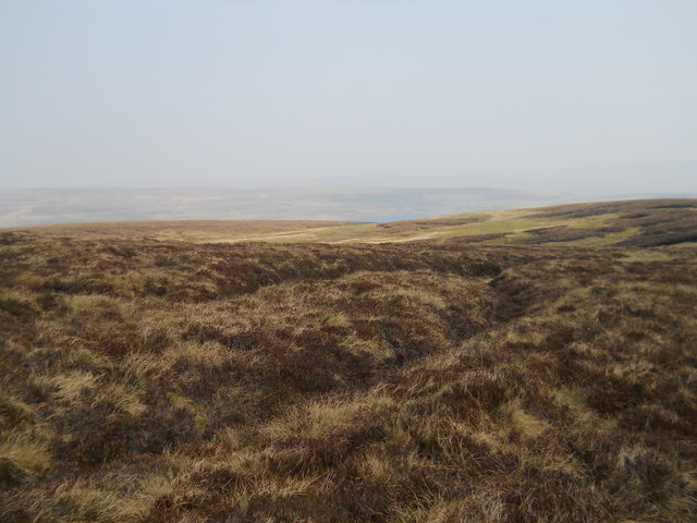
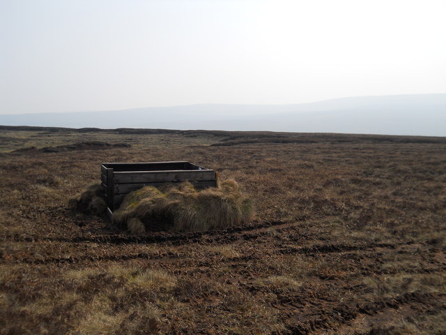
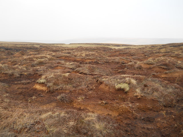
The hill is covered in lush greenery, with a variety of vegetation including grasses, heather, and shrubs. It is home to a diverse range of wildlife, including birds such as buzzards, kestrels, and peregrine falcons, as well as various species of mammals and insects.

Thistly Hill is a popular spot for outdoor enthusiasts, who often embark on hikes and walks to the summit. There are several well-marked trails that lead up the hill, providing both a challenging ascent and rewarding views at the top.

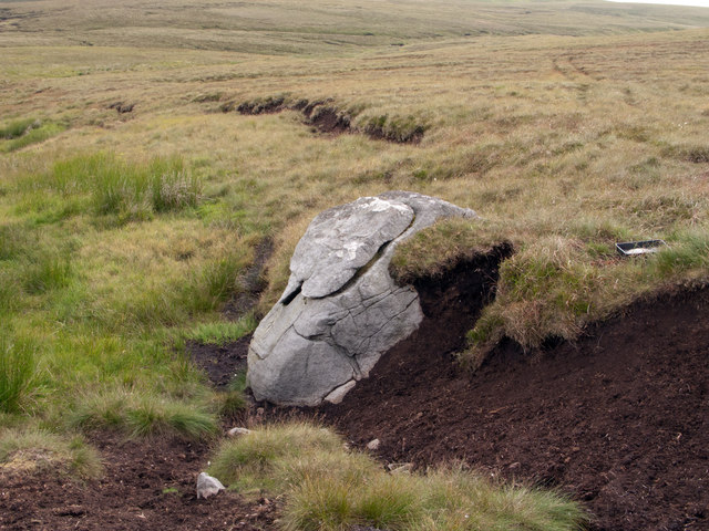
The hill also holds historical significance, with evidence of prehistoric settlements and ancient burial mounds found in the surrounding area. This adds to the allure of Thistly Hill, attracting those with an interest in archaeology and history.

Overall, Thistly Hill is a remarkable natural feature of Westmorland, offering both natural beauty and a sense of adventure to those who explore its slopes.

If you have any feedback on the listing, please let us know in the comments section below.

Thistly Hill Images

Images are sourced within 2km of 54.648429/-2.3328907 or Grid Reference NY7828. Thanks to Geograph Open Source API. All images are credited.

Ruins of Meldon Hall The word hall used as part of the  name for an entire building suggests something grand: not so with Meldon Hall. A ruin even in June 1991 it can surely never have been anything more than a simple shelter being situated as it is close to the summit of Meldon Hill, at a height of almost 740 metres.
Mickle Fell is in the distance.
Ruins of Meldon Hall
The word hall used as part of the name for an entire building suggests something grand: not so with Meldon Hall. A ruin even in June 1991 it can surely never have been anything more than a simple shelter being situated as it is close to the summit of Meldon Hill, at a height of almost 740 metres. Mickle Fell is in the distance.
The Pennine Way near Birkdale
The Pennine Way crossing Grain Beck
The Pennine Way near Moss Shop
The Pennine Way near Rasp Hill
Meldon Hill from the shore of Cow Green below its car park on a frozen day
Looking North-west from Little Cocklake
Grouse Butt in upper Birkdale
Hags at the head of Cockle Sike
Moorland, Meldon Hill A wide area given over to Grouse shooting and little else!
Moorland, Meldon Hill
A wide area given over to Grouse shooting and little else!
Meldon Hall A ruin
Meldon Hall
A ruin
Summit of Meldon Hill Destroyed Trig pillar
Summit of Meldon Hill
Destroyed Trig pillar
Golden Mea Sike
Golden Mea Sike
Grain Beck Just a dribble today
Grain Beck
Just a dribble today
The Maize Beck The Maize Beck is a major tributary of the River Tees joining it just below the cascade of Cauldron Snout. The beck is seen here looking upstream close to the Cumbria/County Durham boundary. County Durham lies on the camera side of the water with Cumbria on the other; also, Cumbria begins on the far side of a fence, poorly seen in this image but rising left from the beck towards Mickle Fell. The dark hill ahead is Murton Fell.
The Maize Beck
The Maize Beck is a major tributary of the River Tees joining it just below the cascade of Cauldron Snout. The beck is seen here looking upstream close to the Cumbria/County Durham boundary. County Durham lies on the camera side of the water with Cumbria on the other; also, Cumbria begins on the far side of a fence, poorly seen in this image but rising left from the beck towards Mickle Fell. The dark hill ahead is Murton Fell.
Trig point wreckage - Meldon Hill Meldon Hill lies to the south of Cow Green Reservoir. The stone-built trig point is now little more than a collection of its constituent rocks. The flat summit area has a minor rise to the north which is in view in this image. In the distance beyond, the ridge forms the watershed between the upper reaches of Teesdale and Weardale, the hill at the left end being Burnhope Seat.
Trig point wreckage - Meldon Hill
Meldon Hill lies to the south of Cow Green Reservoir. The stone-built trig point is now little more than a collection of its constituent rocks. The flat summit area has a minor rise to the north which is in view in this image. In the distance beyond, the ridge forms the watershed between the upper reaches of Teesdale and Weardale, the hill at the left end being Burnhope Seat.
Boulder and peat banks on slope The slope and groove descend to a tributary of Lodgegill Sike on the west side of Meldon Hill.
Boulder and peat banks on slope
The slope and groove descend to a tributary of Lodgegill Sike on the west side of Meldon Hill.
Pool south-west of Meldon Hill summit Meldon Hill has minor features of interest scattered about the slopes rising to its summit; this small pool is one. The distant hill is Mickle Fell.
Pool south-west of Meldon Hill summit
Meldon Hill has minor features of interest scattered about the slopes rising to its summit; this small pool is one. The distant hill is Mickle Fell.
Show me another place!

Thistly Hill is located at Grid Ref: NY7828 (Lat: 54.648429, Lng: -2.3328907)

Administrative County: Cumbria

District: Eden

Police Authority: Cumbria

What 3 Words

///park.views.headers. Near Holwick, Co. Durham

Nearby Locations

Thistly Hill

Related Wikis

Moor House-Upper Teesdale

Moor House-Upper Teesdale National Nature Reserve covers 7,400 ha of the Pennine moors in the north of England. It straddles Cumbria and County Durham...
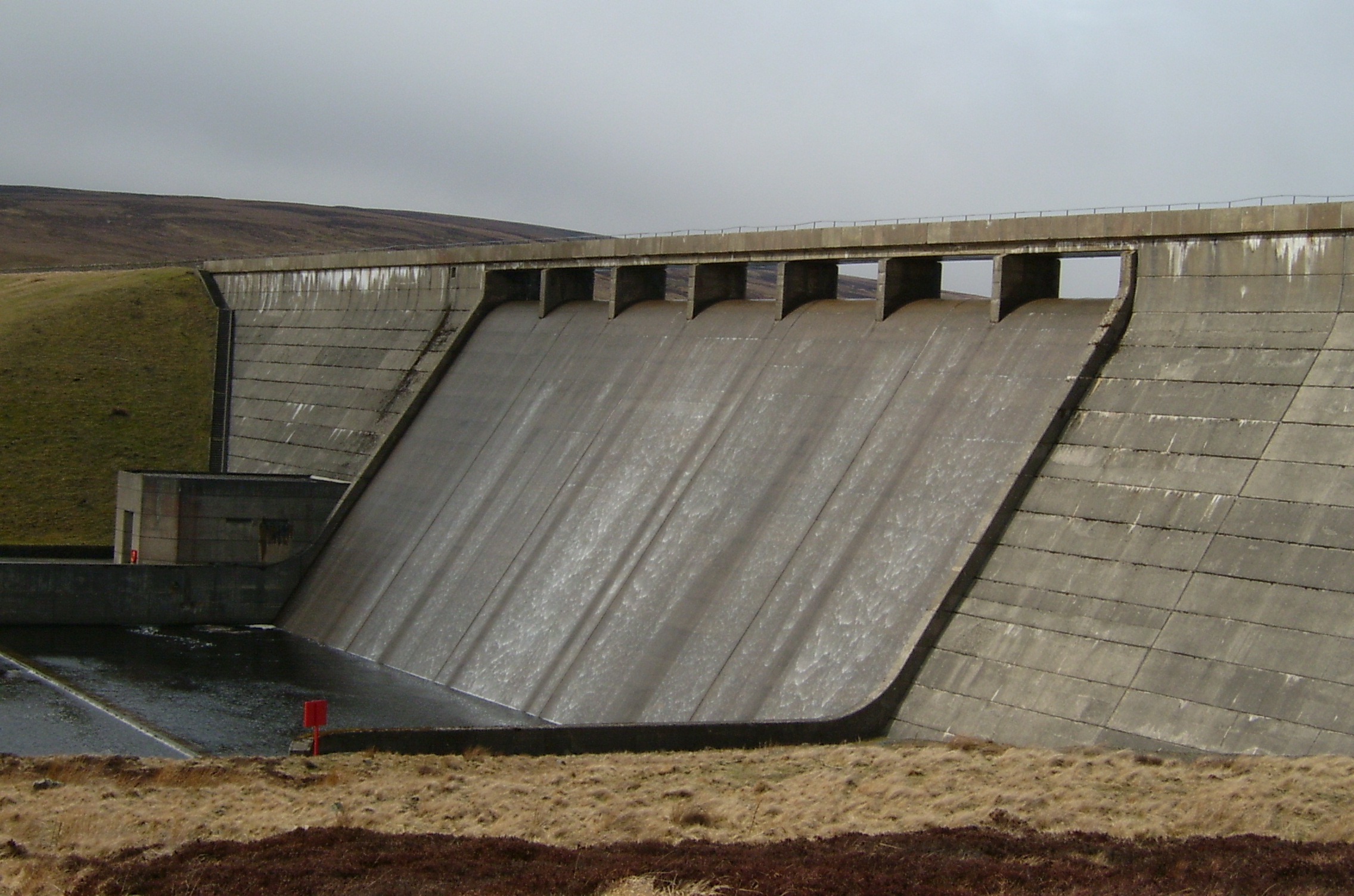
Cow Green Reservoir

Cow Green Reservoir is a 2-mile (3 km) long water reservoir forming part of the border between the historic counties of Westmorland and County Durham in...

Cauldron Snout

Cauldron Snout is a cascade on the upper reaches of the River Tees in Northern England, immediately below the dam of the Cow Green Reservoir. It is well...

Appleby Fells

Appleby Fells is a Site of Special Scientific Interest in the Eden district of Cumbria, England, near Appleby-in-Westmorland. The area is approximately...

Mickle Fell

Mickle Fell is a mountain in the Pennines, the range of hills and moors running down the middle of Northern England. It has a maximum elevation of 788...

Warcop Training Area

The Warcop Training Area (WTA) is a UK Ministry of Defence military training area near the village of Warcop in Cumbria. Part of the Defence Training...

Murton Fell

Murton Fell is a hill of 675 metres (2,215 ft) above the village of Murton, Cumbria in Eden district, in the North Pennines. It lies east of the dramatic...

High Cup Gill

High Cup Gill (or High Cup Nick or just High Cup), almost a geometrically perfect U-shaped chasm, is a valley deeply incised into the Pennine scarp to...

Nearby Amenities

Located within 500m of 54.648429,-2.3328907
Golden Mea
Place: locality
Source: NPE
Lat/Long: 54.6445765/-2.3352241
Thistly Hill
Ele: 595
Natural: peak
Lat/Long: 54.6483858/-2.3329563
Natural: sinkhole
Lat/Long: 54.6458548/-2.3330101
Natural: sinkhole
Lat/Long: 54.6461305/-2.3335834
Natural: sinkhole
Lat/Long: 54.6461258/-2.3330908
Natural: sinkhole
Lat/Long: 54.6461585/-2.3332362
Natural: sinkhole
Lat/Long: 54.6462379/-2.3333654
Natural: sinkhole
Lat/Long: 54.6464015/-2.3333654
Natural: sinkhole
Lat/Long: 54.6465276/-2.333107
Natural: sinkhole
Lat/Long: 54.6463501/-2.3330747
Natural: sinkhole
Lat/Long: 54.6467145/-2.3329132
Natural: sinkhole
Lat/Long: 54.6468687/-2.3321461
Natural: sinkhole
Lat/Long: 54.6466865/-2.3324045
Natural: sinkhole
Lat/Long: 54.6465136/-2.3327113
Natural: sinkhole
Lat/Long: 54.6465697/-2.3328647
Natural: sinkhole
Lat/Long: 54.6468827/-2.332356
Natural: sinkhole
Lat/Long: 54.6470603/-2.3326386
Natural: sinkhole
Lat/Long: 54.6473593/-2.332356
Natural: sinkhole
Lat/Long: 54.6474667/-2.3322268
Natural: sinkhole
Lat/Long: 54.6476116/-2.332025
Natural: sinkhole
Lat/Long: 54.6475648/-2.3318069
Natural: sinkhole
Lat/Long: 54.6477751/-2.3318877
Natural: sinkhole
Lat/Long: 54.6478919/-2.3317746
Natural: sinkhole
Lat/Long: 54.6477657/-2.3322026
Natural: sinkhole
Lat/Long: 54.6528761/-2.3330314
Natural: sinkhole
Lat/Long: 54.6527426/-2.3323125
Natural: sinkhole
Lat/Long: 54.6526401/-2.331694
Natural: sinkhole
Lat/Long: 54.6525279/-2.3310085
Natural: sinkhole
Lat/Long: 54.6524177/-2.3303665
Natural: sinkhole
Lat/Long: 54.6522842/-2.329651
Natural: sinkhole
Lat/Long: 54.6521662/-2.3289722
Natural: sinkhole
Lat/Long: 54.6520675/-2.3283269
The data included in this document is from www.openstreetmap.org. The data is made available under ODbL.

Have you been to Thistly Hill?

Leave your review of Thistly Hill below (or comments, questions and feedback).