Crook Sike Hill
Hill, Mountain in Yorkshire Craven
England
Crook Sike Hill

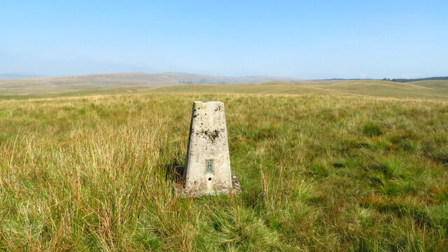
Crook Sike Hill is a prominent geographical feature located in the county of Yorkshire, England. Situated in the North Pennines Area of Outstanding Natural Beauty, it is part of the Pennine mountain range. This hill rises to an elevation of approximately 465 meters (1,526 feet) above sea level.
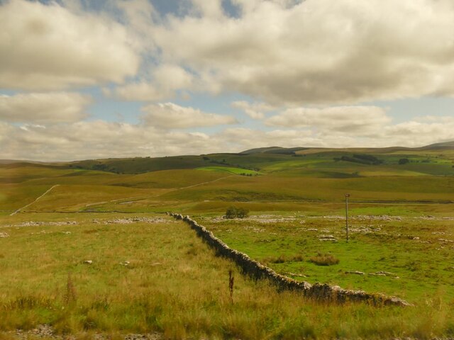
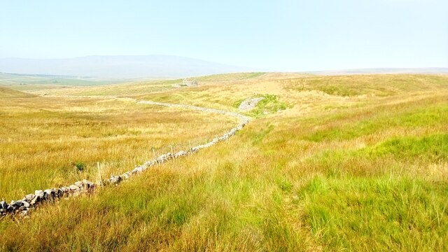
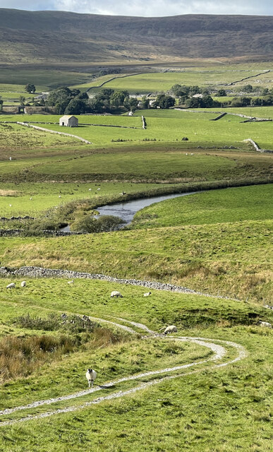
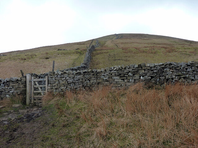
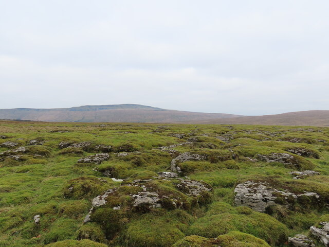
The hill is characterized by its distinctive shape, with a gently sloping ridge that extends for about 2 kilometers (1.2 miles). It offers breathtaking panoramic views of the surrounding countryside, including the picturesque valleys and rolling hills of Yorkshire.
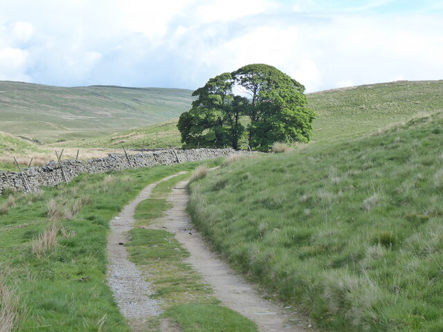
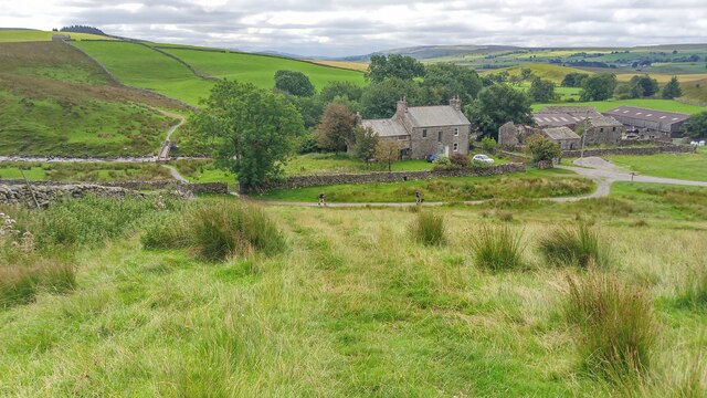
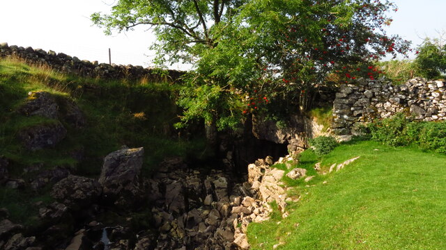
Crook Sike Hill is covered in lush vegetation, with patches of heather, grasses, and scattered trees dotting its landscape. The diversity of plant life attracts a wide range of wildlife, making it an ideal destination for nature enthusiasts and bird watchers. Visitors may spot various species of birds, such as curlews, lapwings, and golden plovers, as well as other wildlife like hares and rabbits.
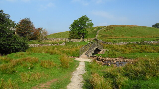
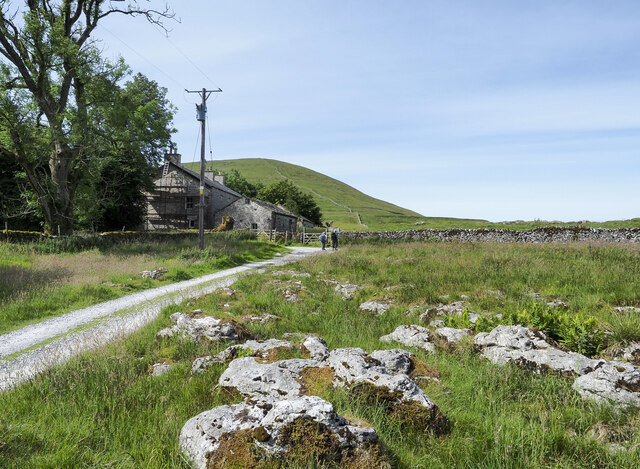
The hill is also a popular destination for outdoor activities. Hiking and walking trails crisscross its slopes, allowing visitors to explore its natural beauty while enjoying the fresh air and tranquility. The challenging terrain and steep slopes provide opportunities for more adventurous activities like mountain biking and hill running.
Overall, Crook Sike Hill is a stunning natural landmark that showcases the beauty of Yorkshire's countryside. Its breathtaking views, diverse flora and fauna, and range of outdoor activities make it a must-visit destination for both locals and tourists alike.
If you have any feedback on the listing, please let us know in the comments section below.
Crook Sike Hill Images
Images are sourced within 2km of 54.190395/-2.3289825 or Grid Reference SD7877. Thanks to Geograph Open Source API. All images are credited.


Crook Sike Hill is located at Grid Ref: SD7877 (Lat: 54.190395, Lng: -2.3289825)
Division: West Riding
Administrative County: North Yorkshire
District: Craven
Police Authority: North Yorkshire
What 3 Words
///gambles.lemons.dearest. Near Ingleton, North Yorkshire
Nearby Locations
Related Wikis

High Birkwith
High Birkwith is a hamlet in the Craven district of North Yorkshire, England. It is located north of the village of Horton in Ribblesdale and in the same...

Selside, North Yorkshire
Selside is a small village in Ribblesdale in North Yorkshire, England. It lies 2 miles (3 km) north west of Horton in Ribblesdale. Selside was mentioned...

Ling Gill
Ling Gill is a gill (or narrow valley) in the Yorkshire Dales in North Yorkshire, England. Cam Beck, a tributary of the River Ribble, flows through the...

Alum Pot
Alum Pot is a pothole with a large open shaft at a surface elevation of 343 metres (1,125 ft) on the eastern flanks of Simon Fell, North Yorkshire, England...

Ribblehead Quarry
Ribblehead Quarry is a former limestone quarry next to Ribblehead railway station in the Yorkshire Dales National Park, North Yorkshire, England. It had...

Ribblehead railway station
Ribblehead is a railway station on the Settle and Carlisle Line, which runs between Carlisle and Leeds via Settle. The station, situated 52 miles 17 chains...

Ribblehead
Ribblehead is the area of moorland at the head of the River Ribble in the area known as Ribblesdale, in the Yorkshire Dales National Park, England. Ribblehead...

Ribblehead Viaduct
The Ribblehead Viaduct or Batty Moss Viaduct carries the Settle–Carlisle railway across Batty Moss in the Ribble Valley at Ribblehead, in North Yorkshire...
Nearby Amenities
Located within 500m of 54.190395,-2.3289825Have you been to Crook Sike Hill?
Leave your review of Crook Sike Hill below (or comments, questions and feedback).